
Mountains & hills · South East England
Seagrove Bay
In or near St Helens.
Seagrove Bay — bay on the northeast coast of the Isle of Wight, England.

Wikimedia Commons contributors — see linked file page for photographer and licence licence

Plan your visit
- Typical visit
- 3 h–8 h
- Best time of year
- Late spring – early autumn (May–Oct)
- Nearest railway station
- Smallbrook Junction · 4.0 km
- Free entry
- Dog-friendly
Getting there & planning your visit
To visit Seagrove Bay, the nearest railway station is Smallbrook Junction, which is 4 km away. The postcode for navigation is PO34 5BP, and entry to the bay is free.
About
Seagrove Bay is a named summit in the United Kingdom. Part of English Channel. Wikidata describes it as: "bay on the northeast coast of the Isle of Wight, England". Coordinates: 50.7200°, -1.1000°.
Photo gallery
Protected designations
- Area of Outstanding Natural Beauty: Isle Of Wight
- Ramsar wetland: Solent & Southampton Water
Designations sourced from Natural England open data under OGL v3.
From the Wikipedia article
Seagrove Bay is a bay on the northeast coast of the Isle of Wight, England. It lies to the east of the village of Seaview facing towards Selsey Bill with a 2⁄3 mile (1.1 km) shoreline stretching from Nettlestone Point in the north to Horestone Point in the south. The bay has both the Seaside Award Flag and the Water Quality Award. Roughly at the centre is a public slipway, to the north of the slipway is a straight pebble beach and there are many shallow private mooring buoys out in the bay. At the southernmost end of the bay is a wooden walkway which gives access from the end of the seawall to Horestone Point and Priory Bay beyond even during the high tide. The bay previously had public toilets which were demolished in 2015 - with a new block set to be built. Though as of 2018 the construction is stalled due to a land-dispute and portaloos had to be installed at the beach for tourists. The bay is used in the title of the life peer Lord Oakeshott as Baron Oakeshott of Seagrove Bay, of Seagrove in the county of Isle of Wight.
Excerpt from Wikipedia under CC BY-SA 4.0. See the source article linked in Sources below.
- Coordinates
- 50.7200, -1.1000
- District
- Isle of Wight
- Parish
- Nettlestone and Seaview
- Postcode
- PO34 5BP
- Parliamentary constituency
- Isle of Wight East
- Nearest railway station
- Smallbrook Junction — 4 km
Sources
- wikidata: Q7440455 (CC0)
- wikipedia: Seagrove Bay (CC BY-SA 4.0)
- commons: Seagrove Bay, Isle of Wight, UK.jpg (CC BY-SA 4.0)
Other places nearby

Seaview
Villages · 0.8 km
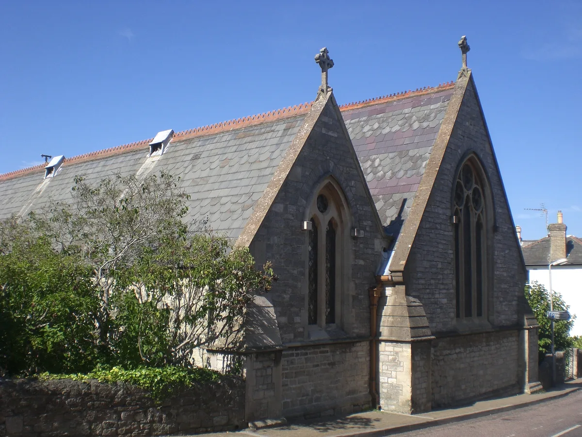
St. Peter's Church, Seaview
Historic churches · 1.0 km
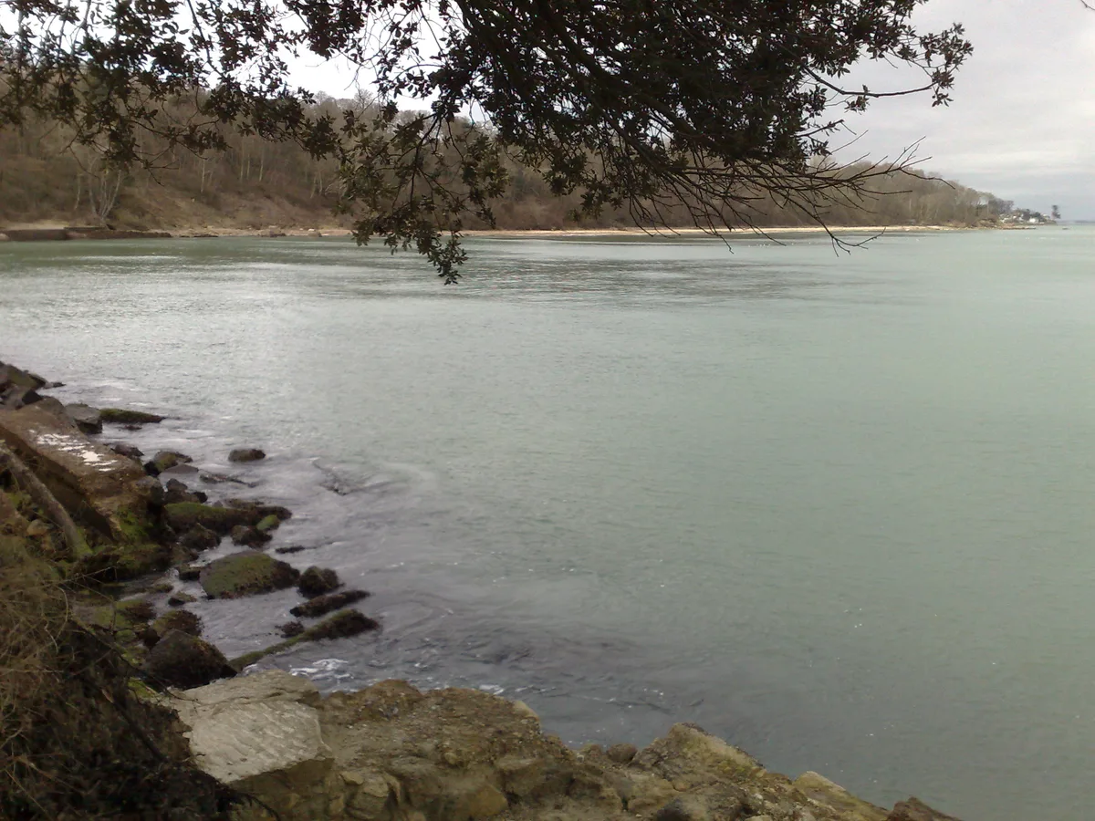
Priory Bay
Mountains & hills · 1.2 km
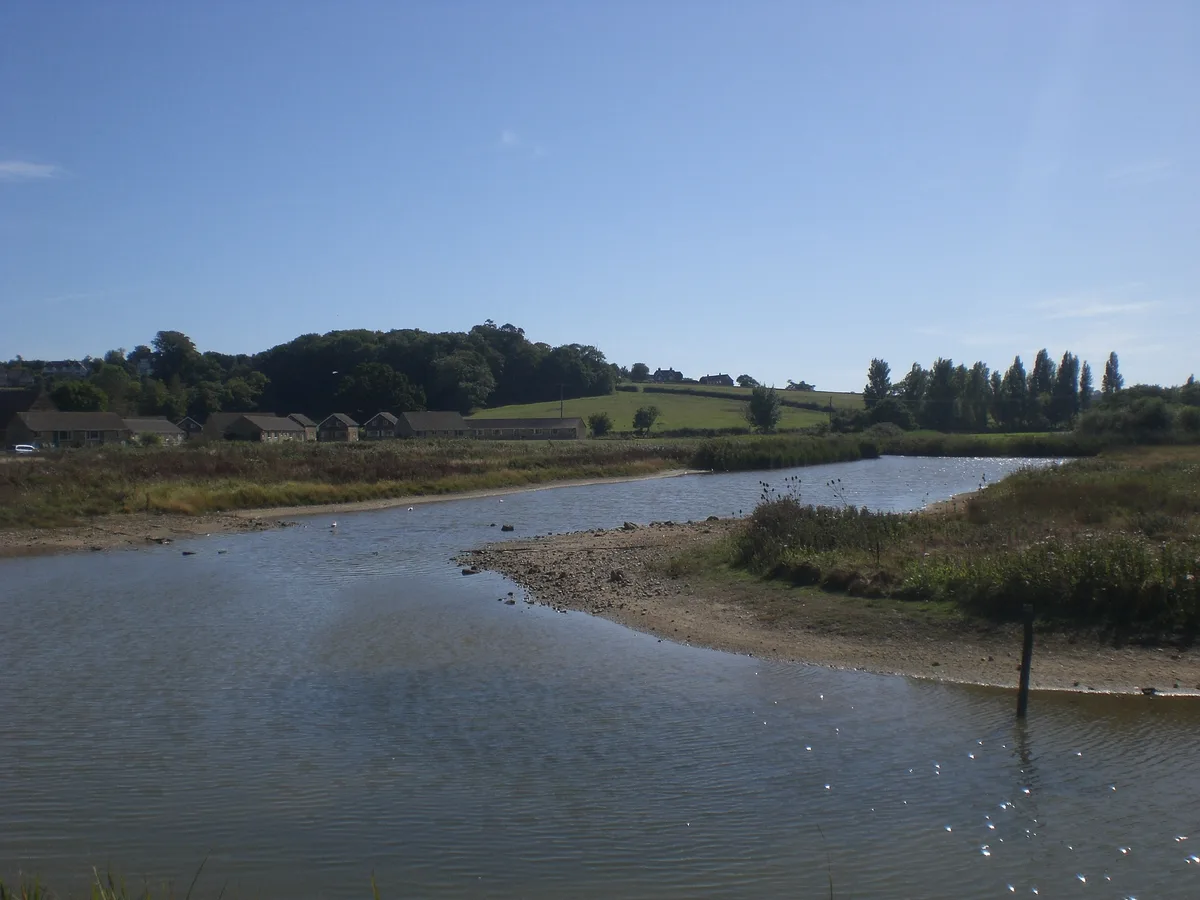
Alan Hersey Nature Reserve
Wildlife reserves · 1.4 km

Seaview Wildlife Encounter
Zoos & aquariums · 1.6 km

Kerry Fields
Memorials & monuments · 1.7 km

Isle of Wight Distillery
Distilleries · 1.7 km

Nodes Point Holiday Park
Caravan parks · 1.8 km
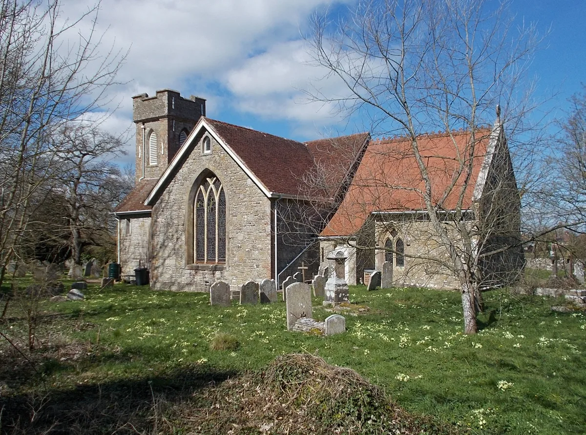
St. Helen's Church, St. Helens
Historic churches · 1.9 km
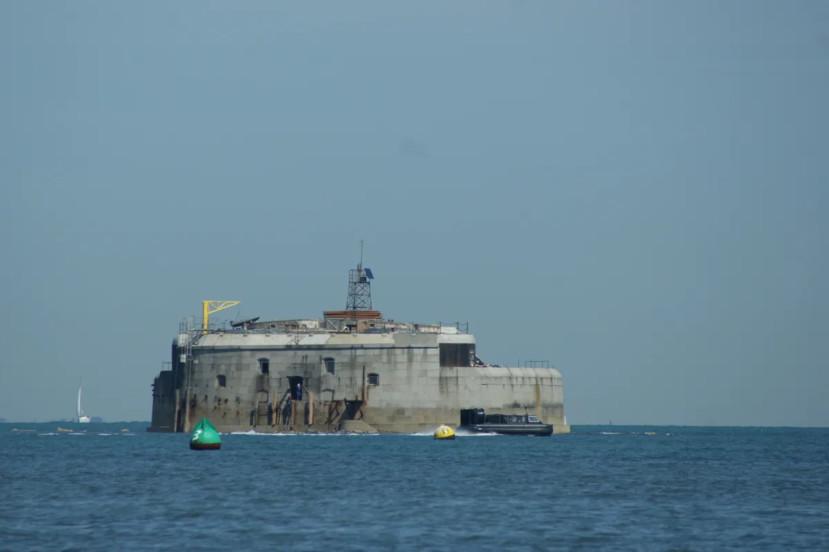
St Helens Fort
Lighthouses · 2.0 km

St Helens Fort
Forts · 2.0 km

St Helen's Old Church (ruin)
Memorials & monuments · 2.1 km
Nearby
📷 5📷 5Historic churches · South East England
St. Peter's Church, Seaview
St. Peter's Church, Seaview — church in Nettlestone and Seaview, Isle of Wight, England, UK.
📷 5Mountains & hills · South East England
Priory Bay
Priory Bay — bay on the north-east coast of the Isle of Wight, England, UK.
📷 5Wildlife reserves · South East England
Alan Hersey Nature Reserve
Alan Hersey Nature Reserve — nature reserve on the Isle of Wight.
📷 5Zoos & aquariums · South East England
Seaview Wildlife Encounter
Seaview Wildlife Encounter — wildlife park in Seaview, Isle of Wight, England.
📷 5Memorials & monuments · South East England
Kerry Fields
Kerry Fields — a memorial in england-south-east, United Kingdom.
Where to eat & stay near Seagrove Bay
Places to stay
📷 5Caravan parks · South East England
Nodes Point Holiday Park
Nodes Point Holiday Park — a caravan park in england south east. Brand: Parkdean Resorts.
 📷 5
📷 5Caravan parks · South East England
Carpenters Farm Campsite
Carpenters Farm Campsite — a caravan park in england south east.
 📷 5
📷 5Campsites · South East England
Beaper Farm Campsite
Beaper Farm Campsite — a campsite in england south east.
📷 5Campsites · South East England
Whitefield Forest Campsite
Whitefield Forest Campsite — a campsite in england south east.
 📷 5
📷 5Hotels · South East England
Dorset House Hotel
Dorset House Hotel — a hotel in england south east.
 📷 5
📷 5Hostels · South East England
Salvation Army Lifehouse
Salvation Army Lifehouse — a hostel in england south east.
Places to eat & drink
 📷 7
📷 7Historic pubs · South East England
The Swans Nest
The Swans Nest in England South East, United Kingdom.
 📷 7
📷 7Historic pubs · South East England
Wellington Tavern
Wellington Tavern in England South East, United Kingdom.
 📷 2
📷 2Historic pubs · South East England
The Castle Hotel
The Castle Hotel in England South East, United Kingdom.
 📷 5
📷 5Historic pubs · South East England
Jubilee Tavern
Jubilee Tavern in England South East, United Kingdom.
 📷 5
📷 5 📷 5
📷 5Historic pubs · South East England
The Gravediggers Public House
The Gravediggers Public House in England South East, United Kingdom.
More mountains in this region
 📷 5
📷 5 📷 5
📷 5Mountains & hills · South East England
Reigate Caves
Reigate Caves is a mountain or hill in the United Kingdom.
 📷 5
📷 5Mountains & hills · South East England
North Downs
North Downs — a hill or mountain in england london.
 📷 5
📷 5Mountains & hills · South East England
Blue Bell Hill
Blue Bell Hill — a hill or mountain in england london.
Frequently asked questions
- Where is Seagrove Bay?
- Seagrove Bay is in South-East England, United Kingdom (postcode PO34 5BP), in the parish of Nettlestone and Seaview.
- What is Seagrove Bay?
- Seagrove Bay — bay on the northeast coast of the Isle of Wight, England.
- How do I get to Seagrove Bay?
- The nearest railway station is Smallbrook Junction, about 4.0 km away. Drivers can use postcode PO34 5BP.
- Is Seagrove Bay a protected site?
- Yes — Seagrove Bay is part of the Isle Of Wight National Landscape (AONB) and the Solent & Southampton Water Ramsar wetland.
- Is Seagrove Bay free to visit?
- Yes, Seagrove Bay is free to enter.
- How do I get to Seagrove Bay?
- The nearest railway station is Smallbrook Junction, about 4.0 km away. Drivers can navigate to postcode PO34 5BP.