
Mountains & hills · South East England
Priory Bay
In or near St Helens.
Priory Bay — bay on the north-east coast of the Isle of Wight, England, UK.

Wikimedia Commons contributors — see linked file page for photographer and licence licence

Plan your visit
- Typical visit
- 3 h–8 h
- Best time of year
- Late spring – early autumn (May–Oct)
- Nearest railway station
- Smallbrook Junction · 3.8 km
- Free entry
- Dog-friendly
Getting there & planning your visit
To visit Priory Bay, the nearest railway station is Smallbrook Junction, located 3.8 km away. The postcode for navigation is PO34 5BU, and entry to the site is free.
About
Priory Bay is a named summit in the United Kingdom. Part of English Channel. Wikidata describes it as: "bay on the north-east coast of the Isle of Wight, England, UK". Coordinates: 50.7092°, -1.1010°.
Photo gallery
Protected designations
- Site of Special Scientific Interest: Brading Marshes to St. Helen's Ledges SSSI
- Area of Outstanding Natural Beauty: Isle Of Wight
- Ramsar wetland: Solent & Southampton Water
Designations sourced from Natural England open data under OGL v3.
From the Wikipedia article
Priory Bay is a small privately owned bay on the northeast coast of the Isle of Wight, England. It lies 3⁄4 mile (1.2 km) to the east of Nettlestone village and another 3⁄4 mile along the coast from Seaview. It stretches from Horestone Point in the north to Nodes Point in the south, the bay is surrounded by woodland known as Priory Woods owned by the National Trust. The bay faces east towards Selsey Bill and has a 950-yard (870 m) shoreline and can be accessed by walking round Horestone Point from Seagrove Bay.
Excerpt from Wikipedia under CC BY-SA 4.0. See the source article linked in Sources below.
Background
History
Palaeolithic tools, from the early Stone Age, have been discovered in the gravels on the beach of the bay, these tools have been washed down off the cliffs. Several hundred of these flint implements have been found on the bay since they were first discovered in 1886. The bay takes its name from a small priory located nearby thought to be connected to monks from St Helens Old Church.
Sourced from Wikipedia under CC BY-SA 4.0.
- Coordinates
- 50.7092, -1.1010
- District
- Isle of Wight
- Parish
- Nettlestone and Seaview
- Postcode
- PO34 5BU
- Parliamentary constituency
- Isle of Wight East
- Nearest railway station
- Smallbrook Junction — 3.8 km
Sources
- wikidata: Q7245484 (CC0)
- wikipedia: Priory Bay (CC BY-SA 4.0)
- commons: Priory Bay.jpg (CC BY-SA 4.0)
Other places nearby

Nodes Point Holiday Park
Caravan parks · 0.6 km

St Helen's Old Church (ruin)
Memorials & monuments · 0.9 km
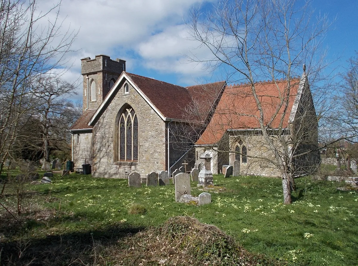
St. Helen's Church, St. Helens
Historic churches · 1.0 km

Kerry Fields
Memorials & monuments · 1.1 km
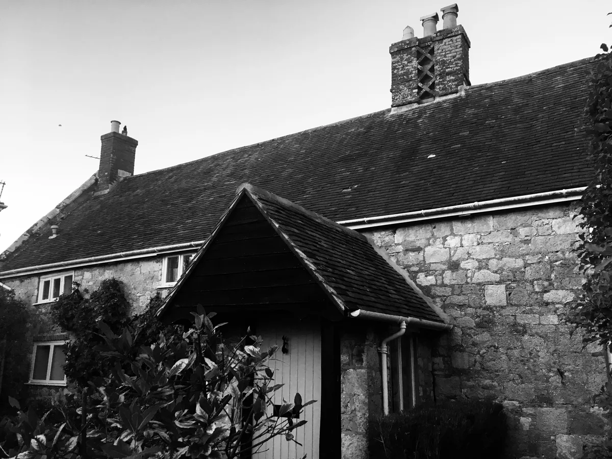
Eddington Manor
Stately homes · 1.1 km
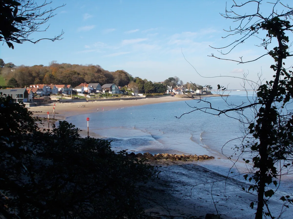
Seagrove Bay
Mountains & hills · 1.2 km
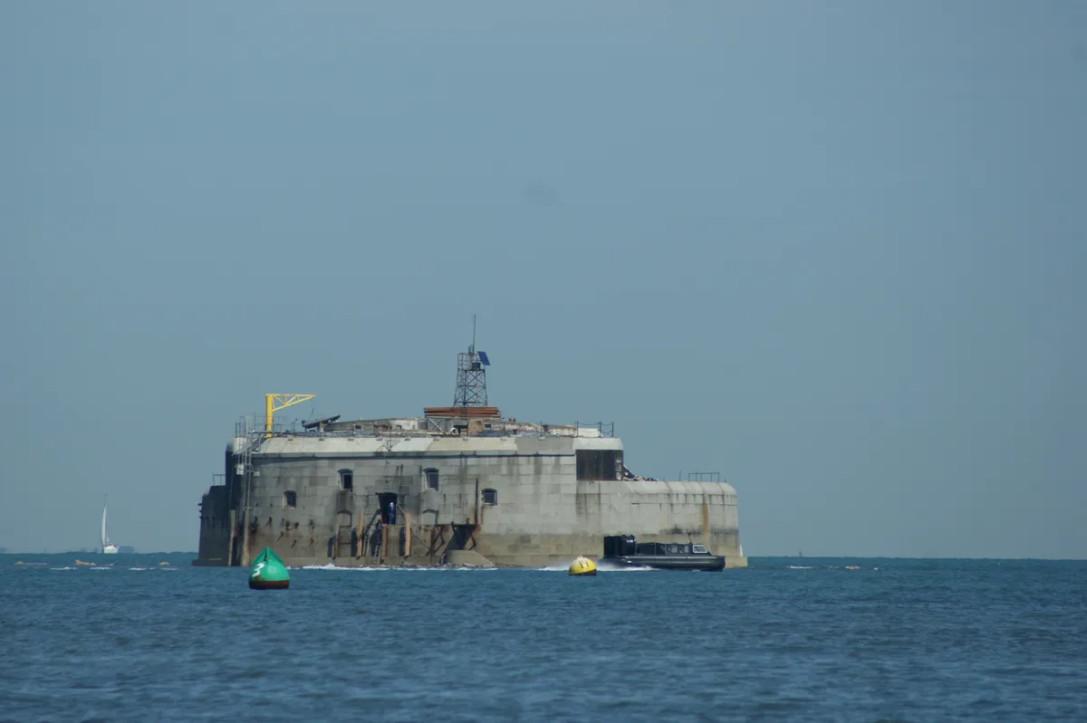
St Helens Fort
Lighthouses · 1.3 km

St Helens Fort
Forts · 1.3 km

Seaview
Villages · 1.4 km

St Helens
Towns & cities · 1.5 km
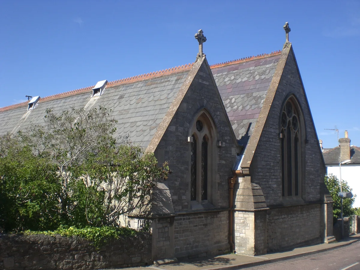
St. Peter's Church, Seaview
Historic churches · 1.5 km

St. Helens
Villages · 1.6 km
Nearby
📷 5Caravan parks · South East England
Nodes Point Holiday Park
Nodes Point Holiday Park — a caravan park in england south east. Brand: Parkdean Resorts.
📷 5Memorials & monuments · South East England
St Helen's Old Church (ruin)
St Helen's Old Church (ruin) is a memorial in the United Kingdom.
📷 5Historic churches · South East England
St. Helen's Church, St. Helens
St. Helen's Church, St. Helens — church in Nettlestone and Seaview, Isle of Wight, England, UK.
📷 5Memorials & monuments · South East England
Kerry Fields
Kerry Fields — a memorial in england-south-east, United Kingdom.
Flagship📷 5Stately homes · South East England
Eddington Manor
Eddington Manor — manor house in St. Helens, Isle of Wight, England, UK.
📷 3Mountains & hills · South East England
Seagrove Bay
Seagrove Bay — bay on the northeast coast of the Isle of Wight, England.
Where to eat & stay near Priory Bay
Places to stay
📷 5Caravan parks · South East England
Nodes Point Holiday Park
Nodes Point Holiday Park — a caravan park in england south east. Brand: Parkdean Resorts.
 📷 5
📷 5Caravan parks · South East England
Carpenters Farm Campsite
Carpenters Farm Campsite — a caravan park in england south east.
 📷 5
📷 5Campsites · South East England
Beaper Farm Campsite
Beaper Farm Campsite — a campsite in england south east.
📷 5Campsites · South East England
Whitefield Forest Campsite
Whitefield Forest Campsite — a campsite in england south east.
 📷 5
📷 5Caravan parks · South East England
Forelands Pop-up Campsite
Forelands Pop-up Campsite — a caravan park in england south east.
 📷 5
📷 5Campsites · South East England
Sunrise Hill Camping
Sunrise Hill Camping — a campsite in england south east.
Places to eat & drink
 📷 7
📷 7Historic pubs · South East England
The Swans Nest
The Swans Nest in England South East, United Kingdom.
 📷 2
📷 2Historic pubs · South East England
The Castle Hotel
The Castle Hotel in England South East, United Kingdom.
 📷 7
📷 7Historic pubs · South East England
Wellington Tavern
Wellington Tavern in England South East, United Kingdom.
 📷 5
📷 5Historic pubs · South East England
Jubilee Tavern
Jubilee Tavern in England South East, United Kingdom.
 📷 5
📷 5Historic pubs · South East England
The Gravediggers Public House
The Gravediggers Public House in England South East, United Kingdom.
 📷 5
📷 5More mountains in this region
 📷 5
📷 5 📷 5
📷 5Mountains & hills · South East England
Reigate Caves
Reigate Caves is a mountain or hill in the United Kingdom.
 📷 5
📷 5Mountains & hills · South East England
North Downs
North Downs — a hill or mountain in england london.
 📷 5
📷 5Mountains & hills · South East England
Blue Bell Hill
Blue Bell Hill — a hill or mountain in england london.
Frequently asked questions
- Where is Priory Bay?
- Priory Bay is in South-East England, United Kingdom (postcode PO34 5BU), in the parish of Nettlestone and Seaview.
- What is Priory Bay?
- Priory Bay — bay on the north-east coast of the Isle of Wight, England, UK.
- How do I get to Priory Bay?
- The nearest railway station is Smallbrook Junction, about 3.8 km away. Drivers can use postcode PO34 5BU.
- Is Priory Bay a protected site?
- Yes — Priory Bay is part of the Brading Marshes to St. Helen's Ledges SSSI Site of Special Scientific Interest and the Isle Of Wight National Landscape (AONB).
- Is Priory Bay free to visit?
- Yes, Priory Bay is free to enter.
- How do I get to Priory Bay?
- The nearest railway station is Smallbrook Junction, about 3.8 km away. Drivers can navigate to postcode PO34 5BU.