
Lighthouses · South East England
St Helens Fort
In or near St Helens.
St Helens Fort — sea fort with lighthouse in the Solent close to the Isle of Wight, England, UK.

Wikimedia Commons contributors — see linked file page for photographer and licence licence

Plan your visit
- Typical visit
- 30 min–1 h
- Nearest railway station
- Brading · 4.9 km
- Free entry
- Family-friendly
- Dog-friendly
Getting there & planning your visit
To visit St Helens Fort, the nearest railway station is Brading, located 4.9 km away. Entry to the fort is free. The postcode for sat-nav is PO33 1XZ.
About
St Helens Fort is a working or historic lighthouse on the United Kingdom coast. Records date its origin to 1867. Heritage designation: scheduled monument. Part of Portsmouth Palmerston Forts. Wikidata describes it as: "sea fort with lighthouse in the Solent close to the Isle of Wight, England, UK". Coordinates: 50.7051°, -1.0839°.
Photo gallery
Heritage listing
St Helens Fort is a sea fort in the Solent close to the Isle of Wight, one of the Palmerston Forts near Portsmouth. It was built as a result of the Royal Commission on the Defence of the United Kingdom of 1859, in order to protect the St Helens anchorage. The fort was designed by Captain E. H. Stewart, overseen by Assistant Inspector General of Fortifications, Colonel W. F. D. Jervois. Construction began in 1865 and was completed in 1878, at a cost of £123,311. It suffered badly from subsidence which forced many changes to the plans, ending up with two 10-inch 18-ton rifled muzzle-loading (RML) guns to landward and one 12.5-inch 38-ton RML gun to seaward. The other sea forts, all larger, are Spitbank Fort, Horse Sand Fort and No Man's Land Fort.
From the Historic England List Entry under OGL v3.
Protected designations
- Site of Special Scientific Interest: Brading Marshes to St. Helen's Ledges SSSI
- Area of Outstanding Natural Beauty: Isle Of Wight
- Ramsar wetland: Solent & Southampton Water
Designations sourced from Natural England open data under OGL v3.
From the Wikipedia article
St Helens Fort is a sea fort in the Solent close to the Isle of Wight, one of the Palmerston Forts near Portsmouth. It was built as a result of the Royal Commission on the Defence of the United Kingdom of 1859, in order to protect the St Helens anchorage. The fort was designed by Captain E. H. Stewart, overseen by Assistant Inspector General of Fortifications, Colonel W. F. D. Jervois. Construction began in 1865 and was completed in 1878, at a cost of £123,311. It suffered badly from subsidence which forced many changes to the plans, ending up with two 10-inch 18-ton rifled muzzle-loading (RML) guns to landward and one 12.5-inch 38-ton RML gun to seaward. The other sea forts, all larger, are Spitbank Fort, Horse Sand Fort and No Man's Land Fort. The Solent Forts - often known as "Palmerston's Follies" - were built in response to a French invasion scare under Louis Napoleon III. This was due in part to the doctrines of the Jeune École of French naval thinking, which emphasised attacking ports with small craft, instead of fleet action, as well as the launch of the first ironclad warship, the Gloire. The threat of war with France receded after the Franco-Prussian War in 1870-71 ended in French defeat. The forts were later used for defence in both World War I and WWII, although the heavier armaments proved unpopular with local householders due to the concussion breaking windows during firing practice. A National Trust report states that during WW II, it was "used as a searchlight and anti-aircraft gun platform". Subsequently their main useful role has been as navigational lighthouses. Periodically (often in August), on one of the lowest tides of the year, there is a mass walk from St Helens beach out to the fort and back. At this day the causeway appears from the sea upon which the original materials were carried out from the shore at St Helen's Old Church, where there was formerly a quarry. Access is from this point, but also along the spit from Bembridge. It has…
Excerpt from Wikipedia under CC BY-SA 4.0. See the source article linked in Sources below.
- Coordinates
- 50.7051, -1.0839
- District
- Isle of Wight
- Parish
- St Helens
- Postcode
- PO33 1XZ
- Parliamentary constituency
- Isle of Wight East
- Established
- 1867
- Nearest railway station
- Brading — 4.9 km
Sources
- wikidata: Q7593352 (CC0)
- wikipedia: St Helens Fort (CC BY-SA 4.0)
- commons: St Helens Fort.JPG (CC BY-SA 4.0)
Featured in these 2 guides
Other places nearby

St Helens Fort
Forts · 0.0 km

St Helen's Old Church (ruin)
Memorials & monuments · 1.2 km
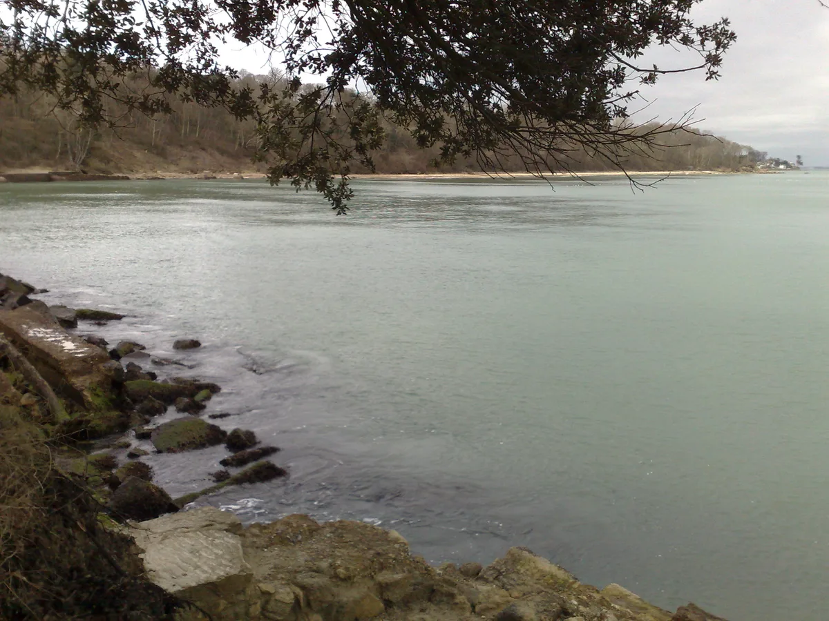
Priory Bay
Mountains & hills · 1.3 km

Nodes Point Holiday Park
Caravan parks · 1.3 km

Palmer Memorial Fountain
Public art & sculpture · 1.3 km
Palmer Memorial
Memorials & monuments · 1.4 km

Bembridge Point Beach
Beaches · 1.4 km

Callum's Corner
Memorials & monuments · 1.6 km

Bembridge War Memorial
Memorials & monuments · 1.7 km
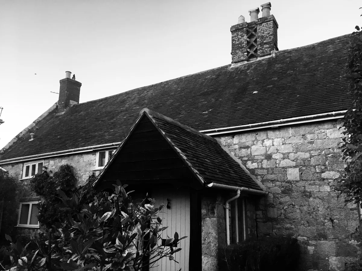
Eddington Manor
Stately homes · 1.8 km
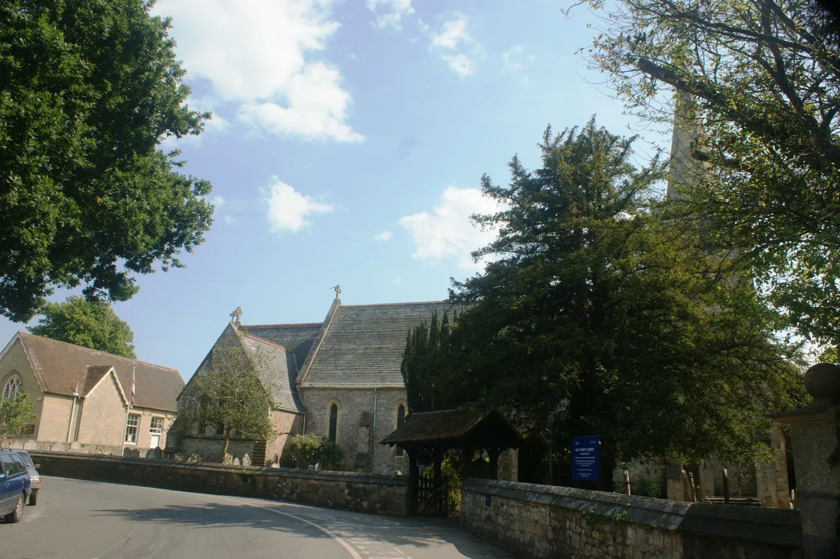
Holy Trinity Church, Bembridge
Historic churches · 1.8 km

Bembridge harbour
Marinas · 1.8 km
Nearby
📷 5📷 5Memorials & monuments · South East England
St Helen's Old Church (ruin)
St Helen's Old Church (ruin) is a memorial in the United Kingdom.
📷 5Mountains & hills · South East England
Priory Bay
Priory Bay — bay on the north-east coast of the Isle of Wight, England, UK.
📷 5Caravan parks · South East England
Nodes Point Holiday Park
Nodes Point Holiday Park — a caravan park in england south east. Brand: Parkdean Resorts.
📷 5Public art & sculpture · South East England
Palmer Memorial Fountain
Palmer Memorial Fountain in England South East, United Kingdom.
📷 5Memorials & monuments · South East England
Palmer Memorial
Palmer Memorial — a memorial in england-south-east, United Kingdom.
Where to eat & stay near St Helens Fort
Places to stay
📷 5Caravan parks · South East England
Nodes Point Holiday Park
Nodes Point Holiday Park — a caravan park in england south east. Brand: Parkdean Resorts.
 📷 5
📷 5Caravan parks · South East England
Forelands Pop-up Campsite
Forelands Pop-up Campsite — a caravan park in england south east.
 📷 5
📷 5Caravan parks · South East England
Carpenters Farm Campsite
Carpenters Farm Campsite — a caravan park in england south east.
 📷 5
📷 5Caravan parks · South East England
Sandhills Holiday Park
Sandhills Holiday Park — a caravan park in england south east.
 📷 5
📷 5Campsites · South East England
Beaper Farm Campsite
Beaper Farm Campsite — a campsite in england south east.
📷 5Campsites · South East England
Whitefield Forest Campsite
Whitefield Forest Campsite — a campsite in england south east.
Places to eat & drink
 📷 7
📷 7Historic pubs · South East England
The Swans Nest
The Swans Nest in England South East, United Kingdom.
 📷 2
📷 2Historic pubs · South East England
The Castle Hotel
The Castle Hotel in England South East, United Kingdom.
 📷 7
📷 7Historic pubs · South East England
Wellington Tavern
Wellington Tavern in England South East, United Kingdom.
 📷 5
📷 5Historic pubs · South East England
The Gravediggers Public House
The Gravediggers Public House in England South East, United Kingdom.
 📷 5
📷 5Historic pubs · South East England
Jubilee Tavern
Jubilee Tavern in England South East, United Kingdom.
 📷 5
📷 5Other lighthouses from this era
 📷 5
📷 5Lighthouses · London
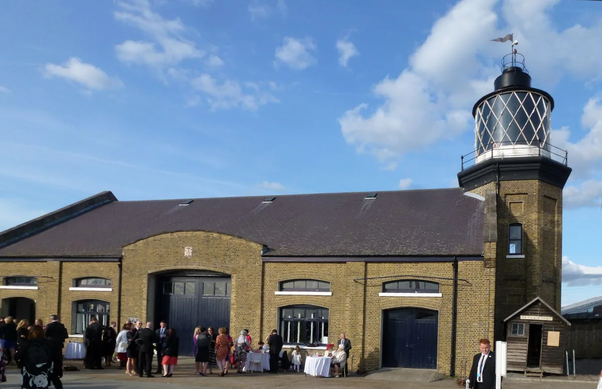
Trinity Buoy Wharf Lighthouse and Chain Locker Block
Trinity Buoy Wharf Lighthouse and Chain Locker Block — lighthouse and historic building in Tower Hamlets, Greater London, England, England.
 📷 5
📷 5Lighthouses · South East England
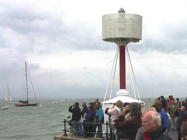
Egypt Point light
Egypt Point light — lighthouse in Isle of Wight, England.
 📷 5
📷 5Lighthouses · South East England
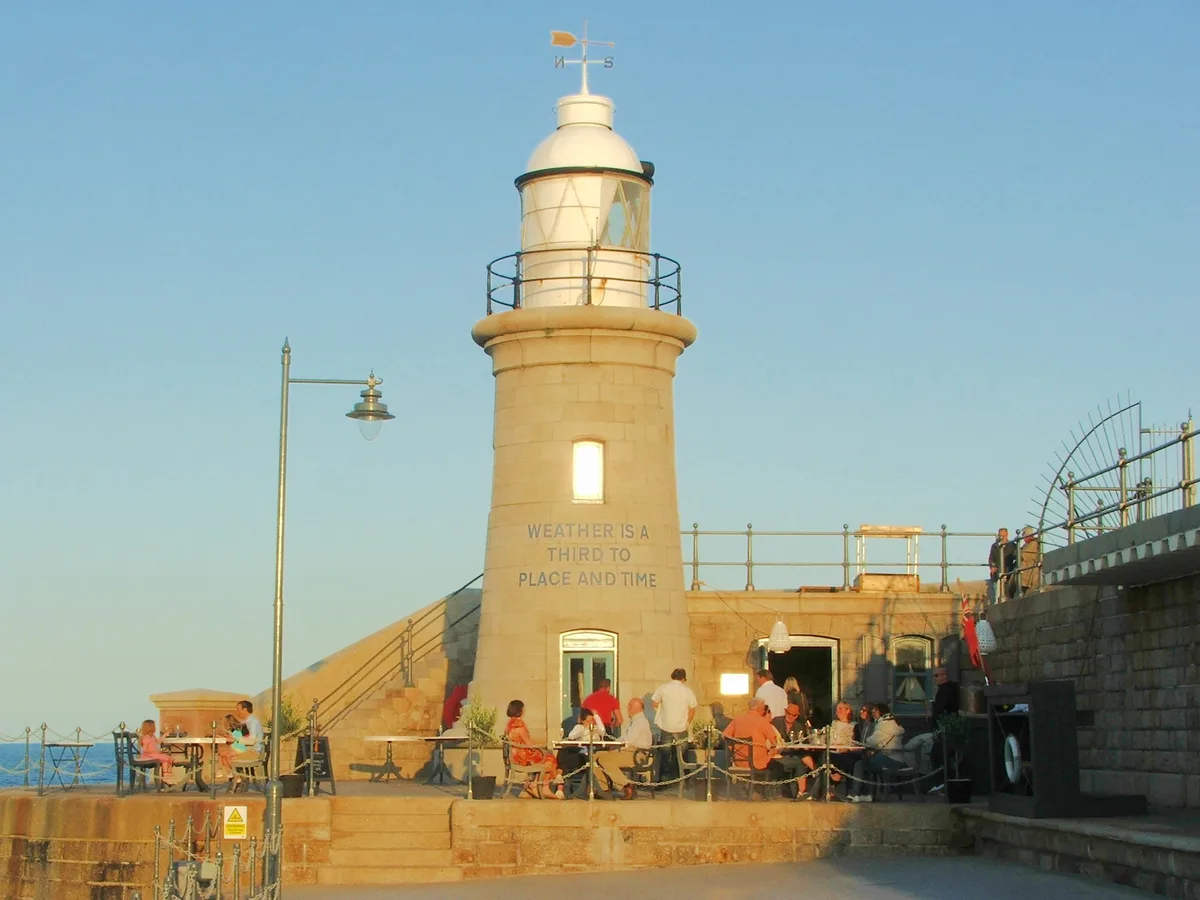
Folkestone Lighthouse
Folkestone Lighthouse — lighthouse in Folkestone, Shepway, Kent, England, UK.
 📷 5
📷 5Lighthouses · South East England
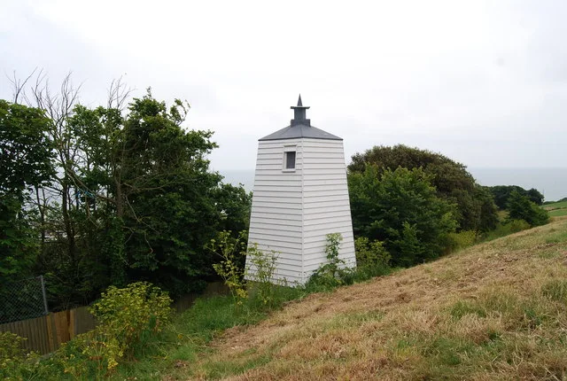
Hastings Lighthouse
Hastings Lighthouse — lighthouse in Hastings, East Sussex, England, UK.
More lighthouses in this region
 📷 5
📷 5Lighthouses · South East England
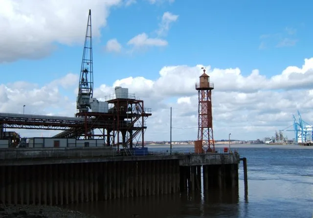
Northfleet Lower Lighthouse
Northfleet Lower Lighthouse — lighthouse in Gravesham, Kent, England, UK.
 📷 5
📷 5Lighthouses · South East England
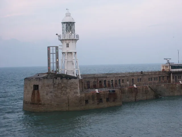
Admiralty Pier light
Admiralty Pier light — lighthouse in Dover, Kent, England.
 📷 5
📷 5Lighthouses · South East England
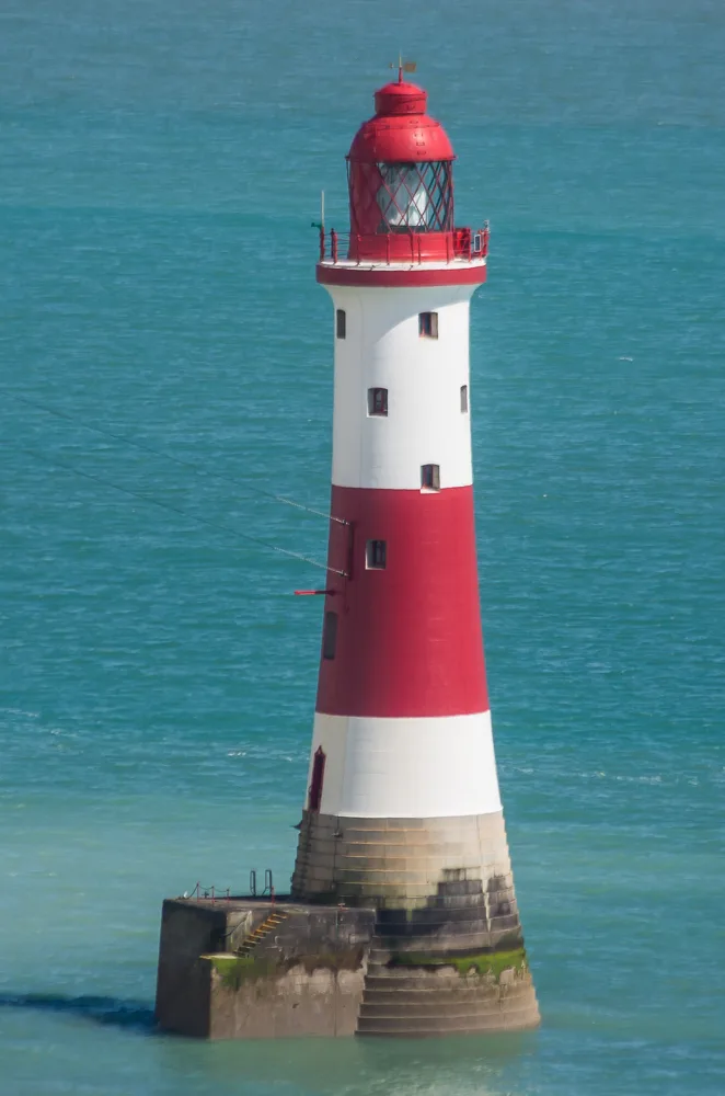
Beachy Head Lighthouse
Beachy Head Lighthouse — lighthouse at Eastbourne, East Sussex, England, UK.
 📷 5
📷 5Lighthouses · South East England
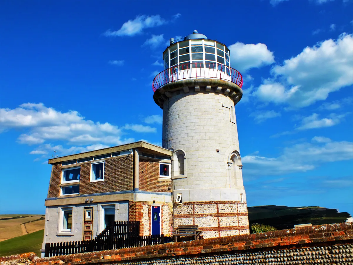
Belle Tout lighthouse
Belle Tout lighthouse — decommissioned lighthouse at Beachy Head, East Sussex, England, UK.
Frequently asked questions
- Where is St Helens Fort?
- St Helens Fort is in South-East England, United Kingdom (postcode PO33 1XZ), in the parish of St Helens.
- What is St Helens Fort?
- St Helens Fort — sea fort with lighthouse in the Solent close to the Isle of Wight, England, UK.
- How do I get to St Helens Fort?
- The nearest railway station is Brading, about 4.9 km away. Drivers can use postcode PO33 1XZ.
- When was St Helens Fort built?
- Built or established in 1867.
- Is St Helens Fort a listed building?
- St Helens Fort is officially recognised as scheduled monument listed.
- Is St Helens Fort a protected site?
- Yes — St Helens Fort is part of the Brading Marshes to St. Helen's Ledges SSSI Site of Special Scientific Interest and the Isle Of Wight National Landscape (AONB).
- Is St Helens Fort free to visit?
- Yes, St Helens Fort is free to enter.
- How do I get to St Helens Fort?
- The nearest railway station is Brading, about 4.9 km away. Drivers can navigate to postcode PO33 1XZ.