
Natural landmarks · South West England
Sandroyd School
In or near Ashmore.
Sandroyd School — a school heritage in england-south-east, United Kingdom.

Toby — CC BY-SA 2.0 via Wikimedia Commons licence

Plan your visit
- Typical visit
- 1 h–2 h
- Free entry
- Dog-friendly
About
Sandroyd School is a school heritage located in england-south-east, United Kingdom. Catalogued from Wikidata's UK heritage register; see the Wikipedia article for further historical and visitor details.
Photo gallery
Protected designations
- Site of Special Scientific Interest: River Avon System SSSI
- Site of Special Scientific Interest: Cranborne Chase SSSI
- Area of Outstanding Natural Beauty: Cranborne Chase & West Wiltshire Downs
Designations sourced from Natural England open data under OGL v3.
Place summary
Sandroyd School is an educational institution located in South-East England. It provides a comprehensive curriculum and is known for its focus on a balanced development approach for students. The school emphasises academic excellence alongside personal growth.
AI-generated from the structured facts on this page (operator, designation, listing, era). Not a substitute for visiting.
Background
History
Sandroyd School was founded as a school for boys by L. H. Wellesley Wesley at Sandroyd House, Fairmile, in Cobham, Surrey in 1880. He was a great-grandson of Charles Wesley. In 1939, in anticipation of the Second World War, the school moved to Rushmore House, home of the Pitt-Rivers family. The house lies in the centre of Cranborne Chase on the borders of Wiltshire and Dorset. A link between the two sites is that Sandroyd House was built in 1860 for the pre-Raphaelite painter John Roddam Spencer Stanhope by the architect Philip Webb (1831–1915), the friend of William Morris, and it was Webb who remodelled the interior of Rushmore for General Pitt Rivers twenty years later. In the 1960s the…
Sourced from Wikipedia under CC BY-SA 4.0.
- Coordinates
- 50.9652, -2.0675
- District
- Wiltshire
- Parish
- Berwick St. John
- Postcode
- SP5 5QD
- Parliamentary constituency
- Salisbury
- Established
- 1880
Sources
- wikidata: Q7416885 (CC0)
- wikipedia: Sandroyd School (CC BY-SA 4.0)
Other places nearby

South Lodge camp Bronze Age enclosure with associated field system and round barrow cemetery, 350m east of Rushmore Farm
Archaeological sites · 0.9 km

Tollard Royal
Villages · 1.1 km

Tollard Royal And Rushmore War Memorial
Memorials & monuments · 1.1 km

Iron Age and Romano-British settlement remains on Rotherley Down
Archaeological sites · 1.2 km

King John's House, Tollard Royal
Historic houses · 1.2 km
.jpg?width=1200)
Cranborne Chase
Archaeological sites · 1.7 km

Singing Theatre
Theatres · 1.8 km
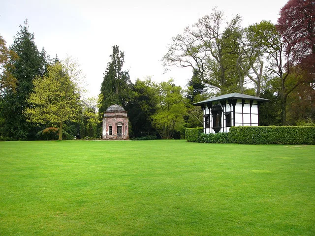
Larmer Tree Gardens
Parks · 1.8 km

Berwick Down
Mountains & hills · 2.0 km

Ashcombe House
Historic houses · 2.6 km

Winkelbury Hill earthworks
Vineyards · 2.7 km

Winkelbury Hill
Mountains & hills · 2.9 km
Nearby
📷 5Archaeological sites · South West England
South Lodge camp Bronze Age enclosure with associated field system and round barrow cemetery, 350m east of Rushmore Farm
South Lodge camp Bronze Age enclosure with associated field system and round barrow cemetery, 350m east of Rushmore Farm — archaeological site in Wiltshire, England, UK.
📷 5📷 5Memorials & monuments · South West England
Tollard Royal And Rushmore War Memorial
Tollard Royal And Rushmore War Memorial — Grade II listed building-listed memorial in england-south-east, United Kingdom.
📷 5Archaeological sites · South West England
Iron Age and Romano-British settlement remains on Rotherley Down
Iron Age and Romano-British settlement remains on Rotherley Down — archaeological site in Wiltshire, England, UK.
📷 5Historic houses · South West England
King John's House, Tollard Royal
King John's House, Tollard Royal — house in Tollard Royal, Wiltshire, England, UK.
📷 5Archaeological sites · South West England
Cranborne Chase
Cranborne Chase — Plateau in southern England.
Where to eat & stay near Sandroyd School
Places to stay
 📷 5
📷 5Caravan parks · South West England
Church Farm Campsite
Church Farm Campsite — a caravan park in england south east.
 📷 5
📷 5Caravan parks · South West England
Lower Farm Caravan Site
Lower Farm Caravan Site — a caravan park in england south east.
 📷 5
📷 5Campsites · South West England
Melbury Vale Farm
Melbury Vale Farm — a campsite in england south east.
 📷 5
📷 5 📷 5📷 5
Places to eat & drink
 📷 5
📷 5 📷 7
📷 7Historic pubs · South West England
The Talbot at Iwerne Minster
The Talbot at Iwerne Minster in England South West, United Kingdom.
 📷 7
📷 7 📷 5
📷 5Historic pubs · South West England
Fox And Hounds Public House
Fox And Hounds Public House in England South West, United Kingdom.
 📷 7
📷 7 📷 7
📷 7Historic pubs · South West England
The Benett Arms
The Benett Arms in England South West, United Kingdom.
More natural landmarks in this region
 📷 5
📷 5Natural landmarks · South West England
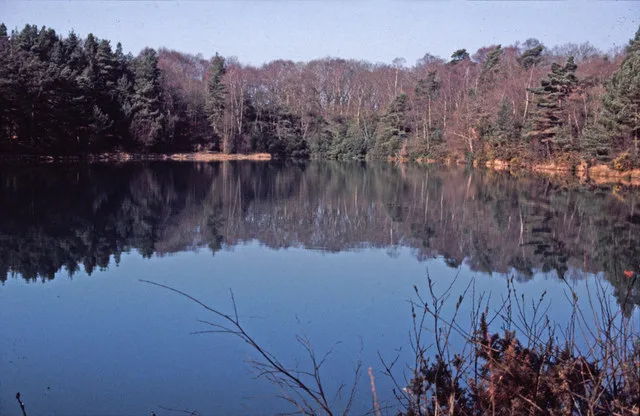
Blue Pool
Blue Pool — lake in Dorset, England, UK.
 📷 5
📷 5Natural landmarks · South West England
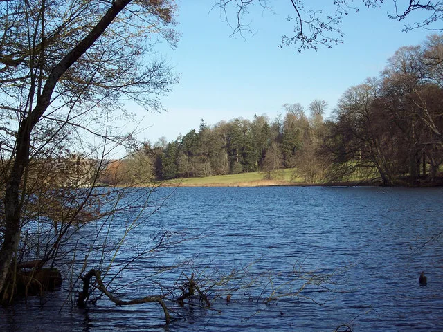
Fonthill Lake
Fonthill Lake — lake in Wiltshire, England, UK.
 📷 5
📷 5 📷 5
📷 5Natural landmarks · South West England
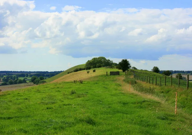
Orchardleigh Lake
Orchardleigh Lake — lake in the United Kingdom.
Frequently asked questions
- Where is Sandroyd School?
- Sandroyd School is in South-East England, United Kingdom (postcode SP5 5QD), in the parish of Berwick St. John.
- What is Sandroyd School?
- Sandroyd School — a school heritage in england-south-east, United Kingdom.
- How do I get to Sandroyd School?
- Drivers can use postcode SP5 5QD.
- When was Sandroyd School built?
- Built or established in 1880.
- Is Sandroyd School a protected site?
- Yes — Sandroyd School is part of the River Avon System SSSI Site of Special Scientific Interest and the Cranborne Chase SSSI Site of Special Scientific Interest.
- Is Sandroyd School free to visit?
- Yes, Sandroyd School is free to enter.
- How do I get to Sandroyd School?
- Drivers can navigate to postcode SP5 5QD. It sits within the Salisbury parliamentary constituency.