
Archaeological sites · South West England
Iron Age and Romano-British settlement remains on Rotherley Down
In or near Ashmore.
Iron Age and Romano-British settlement remains on Rotherley Down — archaeological site in Wiltshire, England, UK.

Wikimedia Commons contributors — see linked file page for photographer and licence licence

Plan your visit
- Typical visit
- 45 min–1.5 h
- Nearest railway station
- Tisbury · 9.6 km
- Free entry
- Dog-friendly
Getting there & planning your visit
To visit the Iron Age and Romano-British settlement remains on Rotherley Down, the nearest railway station is Tisbury, located 9.6 km away. The postcode for navigation is SP5 5QE, and entry to the site is free.
About
Iron Age and Romano-British settlement remains on Rotherley Down is an archaeological site in the United Kingdom. Heritage designation: scheduled monument. Wikidata describes it as: "archaeological site in Wiltshire, England, UK". Coordinates: 50.9751°, -2.0734°.
Photo gallery
Protected designations
- Site of Special Scientific Interest: River Avon System SSSI
- Site of Special Scientific Interest: Rotherley Downs SSSI
- Site of Special Scientific Interest: Cranborne Chase SSSI
- Area of Outstanding Natural Beauty: Cranborne Chase & West Wiltshire Downs
Designations sourced from Natural England open data under OGL v3.
From the Wikipedia article
Rotherley Down Settlement is an archaeological site of the late Iron Age and Romano-British period on Cranborne Chase, England. It is about 1.5 miles (2.4 km) south of Berwick St John, and 1 mile (1.6 km) north of Tollard Royal, in Wiltshire, near the boundary with Dorset. It is a scheduled monument.
Excerpt from Wikipedia under CC BY-SA 4.0. See the source article linked in Sources below.
Background
Description
The site, on the brow of a hill at Rotherley Down, has an area of about 2 ha. He excavated the site at Rotherley Down from 1885 to 1886; what is seen today is his partial reconstruction. He erected a stone monument at the centre of the site, on which his findings are described.
Sourced from Wikipedia under CC BY-SA 4.0.
- Coordinates
- 50.9751, -2.0734
- District
- Wiltshire
- Parish
- Berwick St. John
- Postcode
- SP5 5QE
- Parliamentary constituency
- Salisbury
- Nearest railway station
- Tisbury — 9.6 km
Sources
- wikidata: Q17675343 (CC0)
- wikipedia: Rotherley Down Settlement (CC BY-SA 4.0)
- commons: Stone inside ditch on Rotherley Down - geograph.org.uk - 316299.jpg (CC BY-SA 4.0)
Other places nearby

Berwick Down
Mountains & hills · 1.1 km

Sandroyd School
Natural landmarks · 1.2 km

Winkelbury Hill earthworks
Vineyards · 1.6 km

Ashcombe House
Historic houses · 1.7 km

Tollard Royal
Villages · 1.8 km

Tollard Royal And Rushmore War Memorial
Memorials & monuments · 1.8 km

Winkelbury Hill
Mountains & hills · 1.8 km

King John's House, Tollard Royal
Historic houses · 1.9 km

South Lodge camp Bronze Age enclosure with associated field system and round barrow cemetery, 350m east of Rushmore Farm
Archaeological sites · 2.1 km

Monk's Down
Mountains & hills · 2.1 km
.jpg?width=1200)
Cranborne Chase
Archaeological sites · 2.6 km
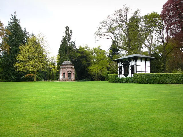
Larmer Tree Gardens
Parks · 2.7 km
Nearby
📷 5Mountains & hills · South West England
Berwick Down
Berwick Down — mountain in england south east. Elevation: 231 m.
📷 4Natural landmarks · South West England
Sandroyd School
Sandroyd School — a school heritage in england-south-east, United Kingdom.
📷 5Vineyards · South West England
Winkelbury Hill earthworks
Winkelbury Hill earthworks — a UK vineyard in england south east, producing English or Welsh wine from cool-climate grape varieties.
📷 5Historic houses · South West England
Ashcombe House
Ashcombe House — listed house in Wiltshire, England, UK.
📷 5📷 5Memorials & monuments · South West England
Tollard Royal And Rushmore War Memorial
Tollard Royal And Rushmore War Memorial — Grade II listed building-listed memorial in england-south-east, United Kingdom.
Where to eat & stay near Iron Age and Romano-British settlement remains on Rotherley Down
Places to stay
 📷 5
📷 5Caravan parks · South West England
Church Farm Campsite
Church Farm Campsite — a caravan park in england south east.
 📷 5
📷 5Campsites · South West England
Melbury Vale Farm
Melbury Vale Farm — a campsite in england south east.
 📷 5
📷 5B&Bs · South West England
The Royal Oak
The Royal Oak — a bed-and-breakfast in england south east.
 📷 7
📷 7Hotels · South West England
Royal Chase Hotel
Royal Chase Hotel — a hotel in england south east.
 📷 5
📷 5Caravan parks · South West England
Lower Farm Caravan Site
Lower Farm Caravan Site — a caravan park in england south east.
 📷 5
📷 5Campsites · South West England
Holyrood campsite
Holyrood campsite — a campsite in england south east.
Places to eat & drink
 📷 5
📷 5 📷 7
📷 7Historic pubs · South West England
The Mitre Inn
The Mitre Inn in England South West, United Kingdom.
 📷 7
📷 7Historic pubs · South West England
The Benett Arms
The Benett Arms in England South West, United Kingdom.
 📷 7
📷 7 📷 5
📷 5Historic pubs · South West England
Fox And Hounds Public House
Fox And Hounds Public House in England South West, United Kingdom.
 📷 7
📷 7Historic pubs · South West England
The Talbot at Iwerne Minster
The Talbot at Iwerne Minster in England South West, United Kingdom.
More archaeological sites in this region
 📷 5
📷 5Archaeological sites · South West England
Battlesbury Camp Monuments: hillfort, settlement, cemetery, barrows, enclosure, and field systems
Battlesbury Camp Monuments: hillfort, settlement, cemetery, barrows, enclosure, and field systems — archaeological site in Warminster, Wiltshire, England, UK.
 📷 5
📷 5Archaeological sites · South West England
Blandford Forest
Blandford Forest — forest in Blandford Forum, England.
 📷 5
📷 5Archaeological sites · South West England
Boulsbury Wood
Boulsbury Wood — protected area in Dorset and Hampshire, England.
📷 5Archaeological sites · South West England
Cranborne Chase
Cranborne Chase — Plateau in southern England.
Frequently asked questions
- Where is Iron Age and Romano-British settlement remains on Rotherley Down?
- Iron Age and Romano-British settlement remains on Rotherley Down is in South-West England, United Kingdom (postcode SP5 5QE), in the parish of Berwick St. John.
- What is Iron Age and Romano-British settlement remains on Rotherley Down?
- Iron Age and Romano-British settlement remains on Rotherley Down — archaeological site in Wiltshire, England, UK.
- How do I get to Iron Age and Romano-British settlement remains on Rotherley Down?
- The nearest railway station is Tisbury, about 9.6 km away. The nearest town is Ashmore. Drivers can use postcode SP5 5QE.
- Is Iron Age and Romano-British settlement remains on Rotherley Down a listed building?
- Iron Age and Romano-British settlement remains on Rotherley Down is officially recognised as scheduled monument listed.
- Is Iron Age and Romano-British settlement remains on Rotherley Down a protected site?
- Yes — Iron Age and Romano-British settlement remains on Rotherley Down is part of the River Avon System SSSI Site of Special Scientific Interest and the Rotherley Downs SSSI Site of Special Scientific Interest.
- Is Iron Age and Romano-British settlement remains on Rotherley Down free to visit?
- Yes, Iron Age and Romano-British settlement remains on Rotherley Down is free to enter.
- How do I get to Iron Age and Romano-British settlement remains on Rotherley Down?
- Drivers can navigate to postcode SP5 5QE. It sits within the Salisbury parliamentary constituency.