
Memorials & monuments · East of England
Salhouse War Memorial
In or near Salhouse.
Salhouse War Memorial — Grade II listed building-listed memorial in england-east, United Kingdom.

Suse — CC BY-SA 2.0 via Wikimedia Commons licence

Plan your visit
- Typical visit
- 15 min–45 min
- Nearest railway station
- Salhouse · 1.3 km
- Free entry
- Dog-friendly
Getting there & planning your visit
To visit Salhouse War Memorial, the nearest railway station is Salhouse, located 1.3 km away. The postcode for navigation is NR13 6TE, and entry to the memorial is free.
About
Salhouse War Memorial is a Grade II listed building-listed memorial in england-east, United Kingdom, registered on the National Heritage List for England (NHLE entry 1453985). Listed status protects buildings and structures of special architectural or historic interest. See the linked Wikipedia article for further details.
Photo gallery
Heritage listing
Details First World War memorial, erected c1920, with Second World War additions. MATERIALS: of stone. DESCRIPTION: the war memorial stands on a grass verge on the east side of Bell Lane, immediately to the west of the churchyard to the Church of All Saints (listed Grade I). It comprises an elaborately carved Celtic wheel-head cross which is embellished with the relief carvings of the head of Christ and a cross at its centre. Each arm has a symbolic image carved on to it, presumed to be of a rose, an iris, a vine and a passion flower, and at the top there is a small, ridged canopy. The shaft has a further three panels of relief carving, each being a different style of Celtic knot-work. Beneath, the trapezoidal plinth has a moulded cap which bears the first word of the inscription, with the rest of the inscription being inserted onto the main body of the plinth. Below this is a two-stepped base. The whole structure stands on a concrete foundation. The First World War dedicatory inscription is inscribed on the plinth’s moulded cap and south-west face and reads ‘ERECTED / BY THE PARISHIONERS OF SALHOUSE / IN PROUD AND LOVING MEMORY OF THE / MEN WHO FELL DURING THE GREAT WAR / 1914 TO 1919 / [Names] / THEIR NAME LIVETH FOR EVERMORE’. On the plinth's north-east face is the Second World War dedication which is inscribed ‘1939 TO 1945 / [Names]’.
From the Historic England List Entry under OGL v3.
Place summary
Salhouse War Memorial is located in the East of England. This Grade II listed building commemorates those who served in conflicts, reflecting the community's remembrance and respect for its fallen.
AI-generated from the structured facts on this page (operator, designation, listing, era). Not a substitute for visiting.
- Coordinates
- 52.6832, 1.4058
- County
- Norfolk
- District
- Broadland
- Parish
- Salhouse
- Postcode
- NR13 6TE
- Parliamentary constituency
- Broadland and Fakenham
- Nearest railway station
- Salhouse — 1.3 km
Sources
- wikidata: Q66479439 (CC0)
Other places nearby

Salhouse Village Sign
Public art & sculpture · 0.7 km

Salhouse
Villages · 1.2 km
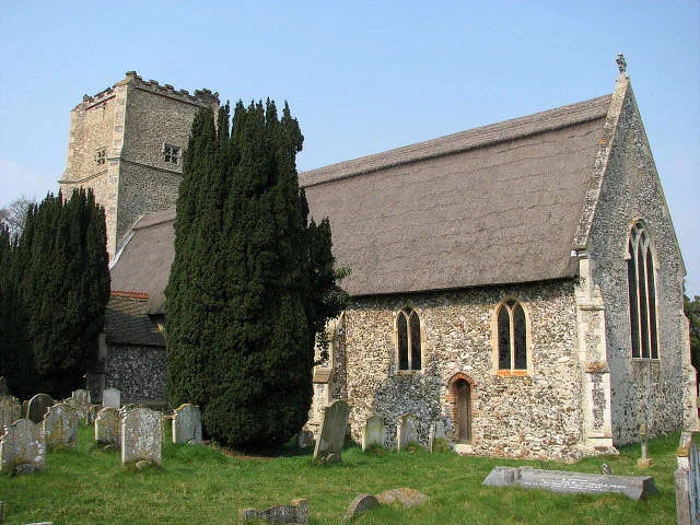
Salhouse
Towns & cities · 1.5 km

Black Barn Farm
Campsites · 1.5 km
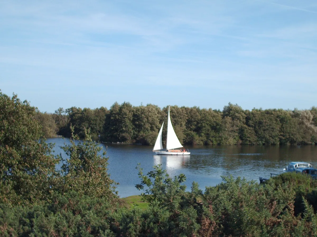
Salhouse Broad
Natural landmarks · 1.7 km

Camping Corner
Campsites · 1.7 km

Wroxham South Village Sign
Public art & sculpture · 2.1 km

Woodforde's Brewery
Breweries · 2.5 km

Rackheath
Museums · 2.6 km

Wroxham
Museums · 2.6 km

Wroxham War Memorial
Memorials & monuments · 2.6 km
Wroxham Village Sign
Public art & sculpture · 2.6 km
Nearby
📷 3Public art & sculpture · East of England
Salhouse Village Sign
Salhouse Village Sign — a public art in england-east, United Kingdom.
📷 5Flagship📷 5Towns & cities · East of England
Salhouse
Salhouse — village in Norfolk, England, UK.
📷 5📷 3📷 5Campsites · East of England
Camping Corner
Camping Corner — a campsite in england east.
Where to eat & stay near Salhouse War Memorial
Places to stay
📷 5📷 5Campsites · East of England
Camping Corner
Camping Corner — a campsite in england east.
 📷 5
📷 5Campsites · East of England
Decoy Broad Campsite
Decoy Broad Campsite — a campsite in england east.
 📷 5
📷 5Hotels · East of England
Sprowston Manor
Sprowston Manor — a hotel in england east.
 📷 5
📷 5Hotels · East of England
Norfolk Mead Hotel & Spa
Norfolk Mead Hotel & Spa — a hotel in england east midlands.
 📷 5
📷 5Places to eat & drink
 📷 7
📷 7Historic pubs · East of England
Recruiting Sergeant Inn
Recruiting Sergeant Inn in England East, United Kingdom.
 📷 5
📷 5 📷 5
📷 5Restaurants · East of England
The Town House
The Town House — a restaurant in england east. Brand: Stonehouse Pizza and Carvery.
 📷 7
📷 7Historic pubs · East of England
The Castle Public House
The Castle Public House in England East, United Kingdom.
 📷 7
📷 7 📷 5
📷 5More memorials in this region
 📷 5
📷 5Memorials & monuments · East of England
386th B.G.(M), 9th Air Force USAAF Memorial
386th B.G.(M), 9th Air Force USAAF Memorial is a memorial in the United Kingdom.
 📷 5
📷 5Memorials & monuments · East of England
Ailesbury Mausoleum
Ailesbury Mausoleum is a memorial in the United Kingdom.
 📷 5
📷 5Memorials & monuments · East of England
Archie F. Daniels Memorial
Archie F. Daniels Memorial is a memorial in the United Kingdom.
 📷 5
📷 5Memorials & monuments · East of England
Barnwell War Memorial
Barnwell War Memorial is a memorial in the United Kingdom.
Frequently asked questions
- Where is Salhouse War Memorial?
- Salhouse War Memorial is in Norfolk, East of England, United Kingdom (postcode NR13 6TE), in the parish of Salhouse.
- What is Salhouse War Memorial?
- Salhouse War Memorial — Grade II listed building-listed memorial in england-east, United Kingdom.
- How do I get to Salhouse War Memorial?
- The nearest railway station is Salhouse, about 1.3 km away. Drivers can use postcode NR13 6TE.
- Is Salhouse War Memorial a listed building?
- Salhouse War Memorial is officially recognised as Grade II listed building listed.
- Is Salhouse War Memorial free to visit?
- Yes, Salhouse War Memorial is free to enter.
- How do I get to Salhouse War Memorial?
- The nearest railway station is Salhouse, about 1.3 km away. Drivers can navigate to postcode NR13 6TE.