Museums · East of England
Rackheath
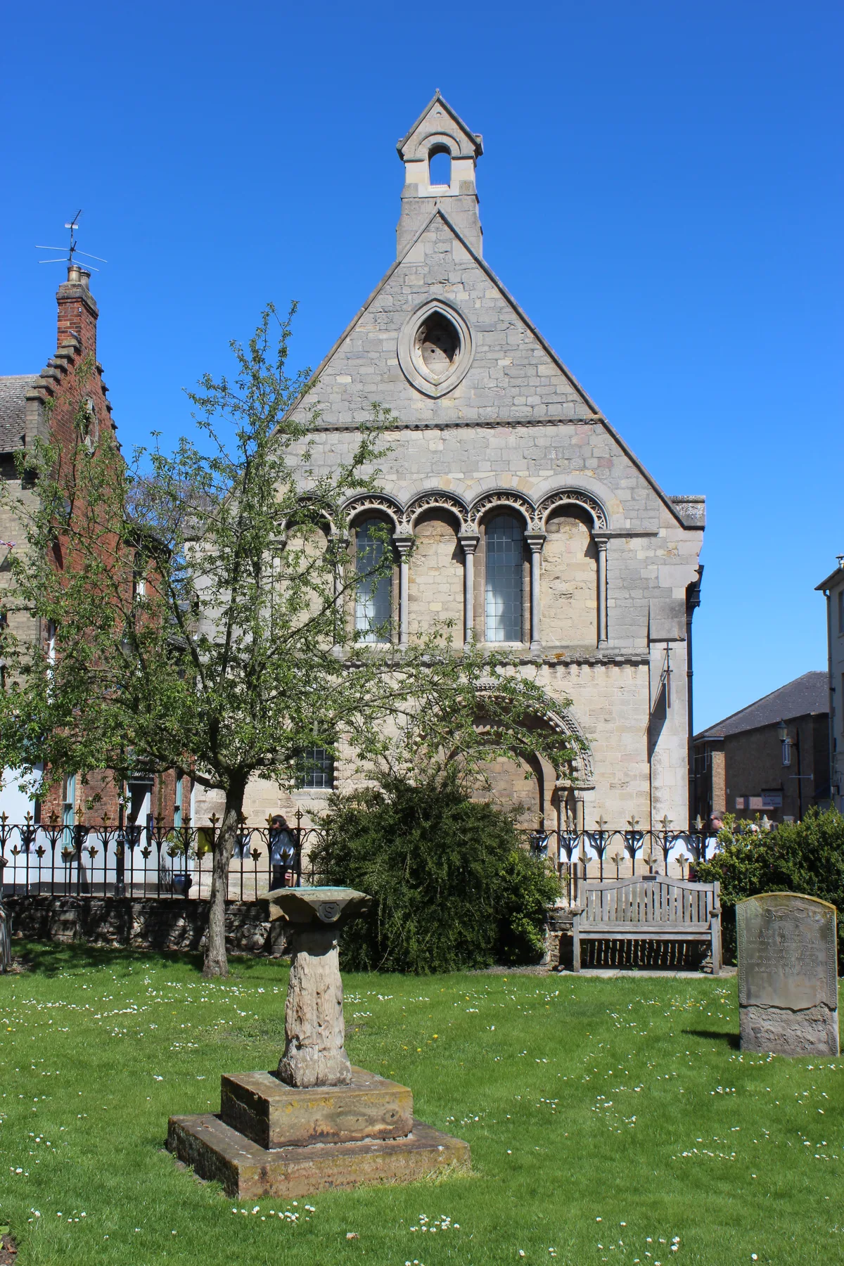
In or near Salhouse.
Rackheath is a village and civil parish in the English county of Norfolk, and is roughly 6 miles (9.7 km) north-east of Norwich city centre. It covers an area of 7.52 km2 (2.90 sq mi) and had a popula

Evelyn Simak — CC BY-SA 2.0 via Wikimedia Commons licence
Plan your visit
- Typical visit
- 1.5 h–3 h
- Best time of year
- Year-round
- Nearest railway station
- Salhouse · 1.4 km
- Family-friendly
- Limited wheelchair access
Getting there & planning your visit
To visit Rackheath, the nearest railway station is Salhouse, located 1.4 km away. The postcode for the area is NR13 6PX. Entry is free, but please note that wheelchair accessibility is limited.
About
Rackheath is a village and civil parish in the English county of Norfolk, and is roughly 6 miles (9.7 km) north-east of Norwich city centre. It covers an area of 7.52 km2 (2.90 sq mi) and had a population of 1,551 in 625 households at the 2001 census, increasing to a population of 1,972 in 762 households at the 2011 Census. For the purposes of local government, it falls within the district of Broadland. It is the site of a proposed new eco-town. The villages name origin is uncertain 'Narrow landing place' or perhaps, 'hollow landing place' or 'narrow path landing place'. The A1151 Norwich to Wroxham Road runs through the parish dividing it in two. There is a small settlement (originally known as Great Rackheath or Rackheath Magna) near the 14th century listed church of All Saints (redundant since the 1970s) to the north, and the now much larger settlement of New Rackheath (but originally known as Little Rackheath or Rackheath Parva) to the south. All Saints church has a 12th-century canonical sundial on the south wall. New Rackheath contains the modern (1959) Holy Trinity Church as well as the 1930s art deco style Sole and Heel public house, which is situated in the part of the village known locally as Slipper Bottom (or Slipper's Bottom). Rackheath's other pubs are the Racecourse Inn, originally the Washington Hotel, on Salhouse Road; and the Green Man, on the Wroxham Road, which dates from before 1826 and closed in November 2011. Rackheath was the location of a Second World
Photo gallery
From the Wikipedia article
Rackheath is a village and civil parish in the English county of Norfolk, and is roughly 6 miles (9.7 km) north-east of Norwich city centre. It covers an area of 7.52 km2 (2.90 sq mi) and had a population of 1,551 in 625 households at the 2001 census, increasing to a population of 1,972 in 762 households at the 2011 Census. For the purposes of local government, it falls within the district of Broadland. It is the site of a proposed new eco-town. The villages name origin is uncertain 'Narrow landing place' or perhaps, 'hollow landing place' or 'narrow path landing place'. The A1151 Norwich to Wroxham Road runs through the parish dividing it in two. There is a small settlement (originally known as Great Rackheath or Rackheath Magna) near the 14th century listed church of All Saints (redundant since the 1970s) to the north, and the now much larger settlement of New Rackheath (but originally known as Little Rackheath or Rackheath Parva) to the south. All Saints church has a 12th-century canonical sundial on the south wall. New Rackheath contains the modern (1959) Holy Trinity Church as well as the 1930s art deco style Sole and Heel public house, which is situated in the part of the village known locally as Slipper Bottom (or Slipper's Bottom). Rackheath's other pubs are the Racecourse Inn, originally the Washington Hotel, on Salhouse Road; and the Green Man, on the Wroxham Road, which dates from before 1826 and closed in November 2011. Rackheath was the location of a Second World War USAAF base, the most easterly and therefore the nearest to Germany of all British wartime airfields. Near the village sign on Salhouse Road, next to the gate of Holy Trinity Church, is a memorial plaque to the 467th Bombardment Group, which consisted of four squadrons who flew B-24 Liberators from the base in support of the Allied advance across Europe. Part of the former airfield is now Rackheath Industrial Estate.
Excerpt from Wikipedia under CC BY-SA 4.0. See the source article linked in Sources below.
- Coordinates
- 52.6753, 1.3701
- County
- Norfolk
- District
- Broadland
- Parish
- Rackheath
- Postcode
- NR13 6PX
- Parliamentary constituency
- Broadland and Fakenham
- Nearest railway station
- Salhouse — 1.4 km
- Official site
- www.neighbourhood.statistics.gov.uk
Sources
- wikipedia: Rackheath (CC BY-SA 4.0)
Other places nearby

Bridge Approximately 100 Metres North East Of Rackheath Hall
Historic bridges · 1.3 km

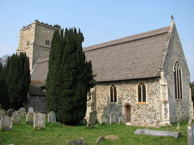
Church of All Saints, Rackheath
Historic churches · 1.4 km

Rackheath Village Sign
Public art & sculpture · 1.5 km

Rackheath
Villages · 1.6 km
Salhouse
Towns & cities · 1.9 km

Black Barn Farm
Campsites · 2.1 km

Sprowston Manor
Hotels · 2.3 km

Salhouse War Memorial
Memorials & monuments · 2.6 km

Salhouse Village Sign
Public art & sculpture · 2.7 km

Thorpe End Village Sign
Public art & sculpture · 2.8 km

Salhouse
Villages · 2.9 km

Crostwick and Beeston St Andrew War Memorial
Memorials & monuments · 3.0 km
Nearby
📷 3Historic bridges · East of England
Bridge Approximately 100 Metres North East Of Rackheath Hall
Bridge Approximately 100 Metres North East Of Rackheath Hall — Grade II listed building-listed bridge in england-east, United Kingdom.
📷 3Historic churches · East of England
Church of All Saints, Rackheath
Church of All Saints, Rackheath — Grade I listed church in Rackheath, Norfolk, England, UK.
📷 3Public art & sculpture · East of England
Rackheath Village Sign
Rackheath Village Sign — a public art in england-east, United Kingdom.
📷 5Flagship📷 5Towns & cities · East of England
Salhouse
Salhouse — village in Norfolk, England, UK.
📷 5Where to eat & stay near Rackheath
Places to stay
📷 5📷 5Hotels · East of England
Sprowston Manor
Sprowston Manor — a hotel in england east.
 📷 5
📷 5Campsites · East of England
Camping Corner
Camping Corner — a campsite in england east.
 📷 2
📷 2 📷 5
📷 5Caravan parks · East of England
Showmans Guild Caravan Park
Showmans Guild Caravan Park — a caravan park in england east.
 📷 5
📷 5Campsites · East of England
Decoy Broad Campsite
Decoy Broad Campsite — a campsite in england east.
Places to eat & drink
 📷 5
📷 5 📷 7
📷 7Historic pubs · East of England
Recruiting Sergeant Inn
Recruiting Sergeant Inn in England East, United Kingdom.
 📷 5
📷 5Restaurants · East of England
The Town House
The Town House — a restaurant in england east. Brand: Stonehouse Pizza and Carvery.
 📷 7
📷 7Historic pubs · East of England
The Castle Public House
The Castle Public House in England East, United Kingdom.
 📷 7
📷 7 📷 5
📷 5More museums in this region
 📷 5
📷 5Museums · East of England
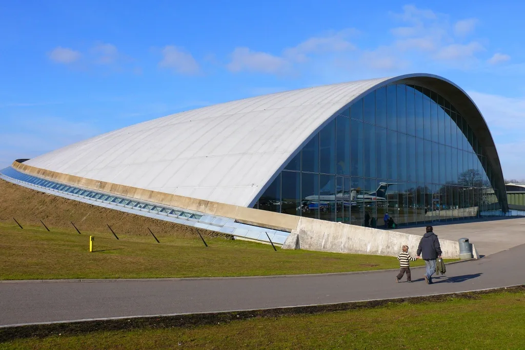
American Air Museum
American Air Museum — museum at Imperial War Museum Duxford, Cambridgeshire, England, UK.
 📷 5
📷 5Museums · East of England
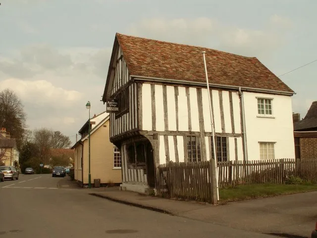
Ashwell Village Museum
Ashwell Village Museum — historic building museum in Ashwell, Hertfordshire, England, United Kingdom.
 📷 5
📷 5Museums · East of England
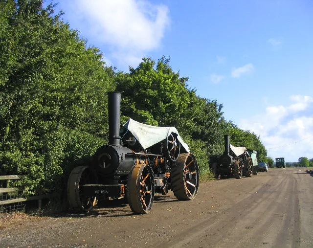
Barleylands Farm Museum
Barleylands Farm Museum — Farm museum in Billericay, England.
 📷 5
📷 5Museums · East of England
Cromwell Museum
Cromwell Museum — museum in Huntingdon, England, United Kingdom.
Frequently asked questions
- Where is Rackheath?
- Rackheath is in Norfolk, East of England, United Kingdom (postcode NR13 6PX), in the parish of Rackheath.
- What is Rackheath?
- Rackheath is a village and civil parish in the English county of Norfolk, and is roughly 6 miles (9.7 km) north-east of Norwich city centre. It covers an area of 7.52 km2 (2.90 sq mi) and had a popula
- How do I get to Rackheath?
- The nearest railway station is Salhouse, about 1.4 km away. Drivers can use postcode NR13 6PX.
- How do I get to Rackheath?
- The nearest railway station is Salhouse, about 1.4 km away. Drivers can navigate to postcode NR13 6PX.