
Watermills · North East England
Rutter Force
In or near Coupland.
Rutter Force in England North East, United Kingdom.

Karl and Ali — CC BY-SA 2.0 via Wikimedia Commons licence

Plan your visit
- Typical visit
- 30 min–1 h
- Nearest railway station
- Appleby · 4.9 km
- Free entry
- Family-friendly
- Dog-friendly
Getting there & planning your visit
To visit Rutter Force, the nearest railway station is Appleby, located 4.9 km away. Entry is free, and the postcode for sat-nav is CA16 6ES.
About
Rutter Force is a place of interest in England North East, United Kingdom — drawn from open-data sources for visitor reference. See the linked Wikipedia article for the full description.
Photo gallery
Protected designations
- Site of Special Scientific Interest: River Eden and Tributaries SSSI
- Area of Outstanding Natural Beauty: North Pennines
Designations sourced from Natural England open data under OGL v3.
From the Wikipedia article
Rutter Force is a 30-foot (9.1 m) high horseshoe-shaped waterfall in the English county of Cumbria. Rutter Mill, a former watermill, and Rutter Mill Ford are adjacent to the falls. The falls lie on the Hoff Beck, which forms the boundary between the civil parishes of Hoff and Ormside and is a tributary of the River Eden. Although not actually in Yorkshire, the falls are in the far north-west corner of the designated area of the Yorkshire Dales National Park. The falls are just 2 miles (3.2 km) south of the town of Appleby-in-Westmorland, and can be easily reached from there on foot or by car. The footpath route follows the last section of the Dales High Way, a 90-mile (140 km) long-distance footpath that runs from Saltaire, in West Yorkshire, to Appleby. Car parking is available by the ford, and a bridge provides a dry crossing for pedestrians. Rutter Mill was first documented in 1579, when it was a corn mill using the head of water from the waterfall to power a waterwheel. When the repeal of the Corn Laws made corn milling unprofitable, it was converted to serve as a bobbin mill, and later a sawmill. From 1928 to 1952, the head of water was used to drive a turbine to generate electricity for the village of Great Asby. The original waterwheel was removed in 1940, but replaced with a replica in 1991. The mill is now used as holiday accommodation.
Excerpt from Wikipedia under CC BY-SA 4.0. See the source article linked in Sources below.
- Coordinates
- 54.5364, -2.4930
- District
- Westmorland and Furness
- Parish
- Ormside
- Postcode
- CA16 6ES
- Parliamentary constituency
- Westmorland and Lonsdale
- Nearest railway station
- Appleby — 4.9 km
Sources
- wikidata: Q136813151 (CC0)
- wikipedia: Rutter Force (CC BY-SA 4.0)
Featured in this guide
Other places nearby

Rutter Force
Waterfalls · 0.0 km

Drybeck
Villages · 1.6 km

Wild Rose Caravan Site
Caravan parks · 1.7 km

Hoff
Natural landmarks · 1.9 km

Ormside railway station
Heritage railway stations · 2.1 km
Great Ormside
Historic churches · 2.4 km

Great Asby
Villages · 2.4 km

Burrells
Historic houses · 2.5 km

Drybeck
Historic churches · 2.7 km
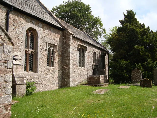
St James' Church, Great Ormside
Historic churches · 2.7 km

Whitley Crag, Asby
Vineyards · 2.7 km

Ormside Ringwork
Literary houses · 2.7 km
Nearby
📷 5📷 5📷 5Caravan parks · North East England
Wild Rose Caravan Site
Wild Rose Caravan Site — a caravan park in england north east.
📷 3📷 4Heritage railway stations · North East England
Ormside railway station
Ormside railway station in England North East, United Kingdom.
📷 5Historic churches · North East England
Great Ormside
Great Ormside in England North East, United Kingdom.
Where to eat & stay near Rutter Force
Places to stay
📷 5Caravan parks · North East England
Wild Rose Caravan Site
Wild Rose Caravan Site — a caravan park in england north east.
 📷 5
📷 5B&Bs · North East England
Bongate House
Bongate House — a bed-and-breakfast in england north east.
 📷 5
📷 5Caravan parks · North East England
Park House Caravan Park
Park House Caravan Park — a caravan park in england north east.
 📷 5
📷 5 📷 5
📷 5Caravan parks · North West England
Chapel Farm Caravan Park
Chapel Farm Caravan Park — a caravan park in england north west.
 📷 5
📷 5Caravan parks · North East England
Midtown Farm Camping & Caravan Site
Midtown Farm Camping & Caravan Site — a caravan park in england north east.
Places to eat & drink
 📷 5
📷 5Historic pubs · North East England
1, Scattergate
1, Scattergate in England North East, United Kingdom.
 📷 7
📷 7Cafés · North West England
The White Hare Cafe
The White Hare Cafe — a café in england north west.
 📷 5
📷 5Cafés · North West England
The Cross Keys Temperance Inn
The Cross Keys Temperance Inn — a café in england north west.
 📷 3
📷 3 📷 7
📷 7Historic pubs · North West England
Two Lions public house and integral stables
Two Lions public house and integral stables in Scotland Lowlands, United Kingdom.
 📷 6
📷 6Historic pubs · North West England
Gloucester Arms
Gloucester Arms in Scotland Lowlands, United Kingdom.
More watermills in this region
 📷 3
📷 3 📷 4
📷 4Watermills · North East England
Poltross Burn
Poltross Burn in England North East, United Kingdom.
 📷 4
📷 4 📷 4
📷 4Frequently asked questions
- Where is Rutter Force?
- Rutter Force is in North-East England, United Kingdom (postcode CA16 6ES), in the parish of Ormside.
- What is Rutter Force?
- Rutter Force in England North East, United Kingdom.
- How do I get to Rutter Force?
- The nearest railway station is Appleby, about 4.9 km away. Drivers can use postcode CA16 6ES.
- Is Rutter Force a protected site?
- Yes — Rutter Force is part of the River Eden and Tributaries SSSI Site of Special Scientific Interest and the North Pennines National Landscape (AONB).
- Is Rutter Force free to visit?
- Yes, Rutter Force is free to enter.
- How do I get to Rutter Force?
- The nearest railway station is Appleby, about 4.9 km away. Drivers can navigate to postcode CA16 6ES.