
Forests & woodlands · Yorkshire & the Humber
RSPB Old Moor
In or near Darfield.
RSPB Old Moor is a forest or woodland in the United Kingdom.

Wikimedia Commons licence
Plan your visit
- Typical visit
- 1 h–3 h
- Nearest railway station
- Bolton-upon-Dearne · 2.9 km
- Free entry
- Family-friendly
- Dog-friendly
- Limited wheelchair access
Getting there & planning your visit
To visit RSPB Old Moor, the nearest railway station is Bolton-upon-Dearne, located 2.9 km away. Entry is free, but please note that wheelchair accessibility is limited. The postcode for sat-nav is S73 0YF.
About
RSPB Old Moor is a named forest, woodland or nature reserve in the United Kingdom. Coordinates: 53.5175°, -1.3558°. This entry is part of The Great Britain Guide, a free, ad-free, open-data tourist directory.
Photo gallery
Official information
RSPB Old Moor is a nature reserve that offers visitors the chance to observe a variety of wildlife throughout the seasons, including birds like Kingfishers and Barn Owls. The site features family-friendly amenities such as an adventure playground, discovery backpacks, and accessible paths for all visitors.
Protected designations
- Site of Special Scientific Interest: Dearne Valley Wetlands SSSI
Designations sourced from Natural England open data under OGL v3.
From the Wikipedia article
RSPB Dearne Valley Old Moor is an 89-hectare (220-acre) wetlands nature reserve in the Dearne Valley near Barnsley, South Yorkshire, run by the Royal Society for the Protection of Birds (RSPB). It lies on the junction of the A633 and A6195 roads and is bordered by the Trans Pennine Trail long-distance path. Following the end of coal mining locally, the Dearne Valley had become a derelict post-industrial area, and the removal of soil to cover an adjacent polluted site enabled the creation of the wetlands at Old Moor. Old Moor is managed to benefit bitterns, breeding waders such as lapwings, redshanks and avocets, and wintering golden plovers. A calling male little bittern was present in the summers of 2015 and 2016. Barnsley Metropolitan Borough Council created the reserve, which opened in 1998, but the RSPB took over management of the site in 2003 and developed it further, with funding from several sources including the National Lottery Heritage Fund. The reserve, along with others nearby, forms part of a landscape-scale project to create wildlife habitat in the Dearne Valley. It is an 'Urban Gateway' site with facilities intended to attract visitors, particularly families. In 2018, the reserve had about 100,000 visits. The reserve may benefit in the future from new habitat creation beyond the reserve and improved accessibility, although there is also a potential threat to the reserve from climate change and flooding.
Excerpt from Wikipedia under CC BY-SA 4.0. See the source article linked in Sources below.
Background
History
The Dearne Valley was formerly a major coal mining area, with several accessible seams of high-quality coal, and in 1950s more than 32,000 colliers worked in its 30 pits. The coal industry dominated the area, and its waste rendered the River Dearne lifeless, although a few isolated wetland areas remained, monitored by local birdwatchers. The miners' strike of 1984 was the first sign of a national programme of pit closures in the UK that led to all the Dearne Valley mines being closed by 1993, with the loss of 11,000 jobs in the industry. About 600 ha of the former Wath Manvers Colliery, including a coking plant and marshalling yard, was left as the largest derelict site in western Europe.…
Visiting
Old Moor lies about 6.5 km from the M1 motorway, and is accessed from Manvers Way (A633) just east of the A6195 Dearne Valley Parkway junction. The nearest railway stations are at Wombwell and Swinton, both about 5 km away. Buses are infrequent, but cyclists can access Old Moor by a bridge to the reserve car park from the Trans Pennine Trail long-distance path, which runs along the southern edge of the reserve. Old Moor was planned as an "Urban Gateway" RSPB site, its playground, café balcony and children's discovery zone intended to attract visitors. It has nine bird hides and viewing screens, and a sunken hide with a reflection pool for the benefit of photographers. As of 2018, the 89 ha…
Sourced from Wikipedia under CC BY-SA 4.0.
- Coordinates
- 53.5175, -1.3558
- District
- Barnsley
- Parish
- Barnsley, unparished area
- Postcode
- S73 0YF
- Parliamentary constituency
- Barnsley South
- Phone
- 01226 751593
- Established
- 1998
- Nearest railway station
- Bolton-upon-Dearne — 2.9 km
- Official site
- www.rspb.org.uk
Sources
- osm: w137376251 (ODbL)
- wikipedia: RSPB Dearne Valley Old Moor (CC BY-SA 4.0)
Other places nearby

Flight Path
Public art & sculpture · 0.6 km

Trans Pennine Trail
Military museums · 0.9 km

Wet Moor Bridge
Historic bridges · 1.3 km

Parish Map
Public art & sculpture · 1.3 km
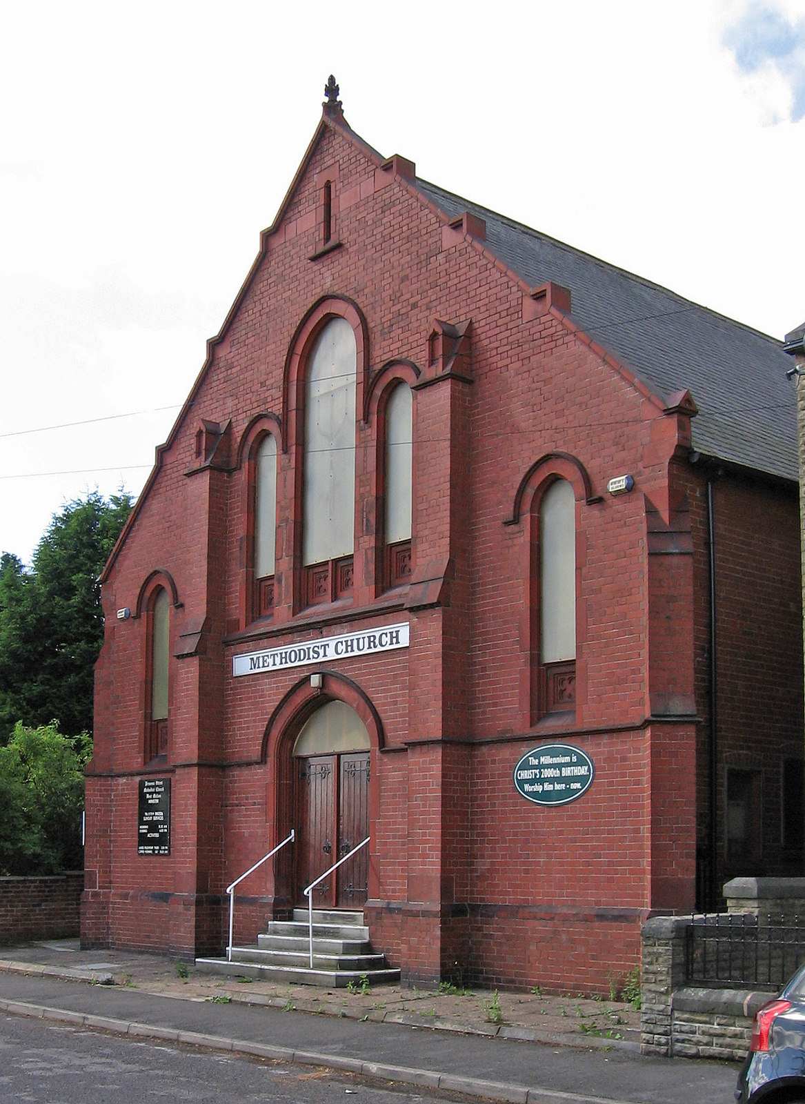
West Melton
Villages · 1.5 km

River Dove, Barnsley
Museums · 1.5 km

Wath upon Dearne
Museums · 2.0 km
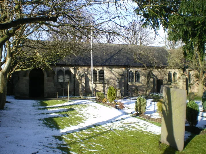
Church of All Saints
Historic churches · 2.0 km

Maurice Dobson Museum
Museums · 2.1 km

Darfield Cenotaph
Memorials & monuments · 2.1 km

Darfield Foulstone School of Creative Arts
Natural landmarks · 2.3 km

Payne Mausoleum
Follies · 2.3 km
Nearby
📷 3Public art & sculpture · Yorkshire & the Humber
Flight Path
Flight Path — a public art in Yorkshire & the Humber, United Kingdom.
📷 5Military museums · Yorkshire & the Humber
Trans Pennine Trail
Trans Pennine Trail — a military museum in england yorkshire.
📷 3Historic bridges · Yorkshire & the Humber
Wet Moor Bridge
Wet Moor Bridge — Grade II listed building-listed bridge in england-yorkshire, United Kingdom.
📷 4Public art & sculpture · Yorkshire & the Humber
Parish Map
Parish Map — a public art in Yorkshire & the Humber, United Kingdom.
📷 5📷 5Museums · Yorkshire & the Humber
River Dove, Barnsley
River Dove, Barnsley — a museum in england-yorkshire, United Kingdom.
Where to eat & stay near RSPB Old Moor
Places to stay
 📷 5
📷 5Hotels · East Midlands
Staindrop Lodge Hotel
Staindrop Lodge Hotel — a hotel in england east midlands.
 📷 5
📷 5Campsites · Yorkshire & the Humber
Greensprings Touring Park
Greensprings Touring Park — a campsite in england yorkshire.
 📷 5
📷 5 📷 5
📷 5Hotels · East Midlands
Hellaby Hall Hotel
Hellaby Hall Hotel — a hotel in england east midlands.
 📷 5
📷 5Campsites · Yorkshire & the Humber
Silverwood Scout Camp
Silverwood Scout Camp — a campsite in england yorkshire.
 📷 5
📷 5Caravan parks · Yorkshire & the Humber
The Pony Paddock
The Pony Paddock — a caravan park in england yorkshire.
Places to eat & drink
 📷 7
📷 7Historic pubs · Yorkshire & the Humber
Cooperative Store (Barnsley British)
Cooperative Store (Barnsley British) in England Yorkshire, United Kingdom.
 📷 5
📷 5Historic pubs · Yorkshire & the Humber
Yorkshire Bank, Peel Square
Yorkshire Bank, Peel Square in England Yorkshire, United Kingdom.
 📷 5
📷 5Historic pubs · Yorkshire & the Humber
The Strafford Arms
The Strafford Arms in England Yorkshire, United Kingdom.
 📷 5
📷 5Historic pubs · Yorkshire & the Humber
The Ball Public House
The Ball Public House in England Yorkshire, United Kingdom.
 📷 5
📷 5 📷 5
📷 5Historic pubs · Yorkshire & the Humber
The Owl Public House
The Owl Public House in England Yorkshire, United Kingdom.
More forests in this region
 📷 3
📷 3Forests & woodlands · Yorkshire & the Humber
Broadhurstedge Plantation
Broadhurstedge Plantation is a forest or woodland in the United Kingdom.
.JPG?width=1200) 📷 4
📷 4Forests & woodlands · Yorkshire & the Humber
Acaster South Ings SSSI
Acaster South Ings SSSI is a forest or woodland in the United Kingdom.
 📷 3
📷 3Forests & woodlands · Yorkshire & the Humber
Allerthorpe Common
Allerthorpe Common is a forest or woodland in the United Kingdom.
.jpg?width=1200) 📷 5
📷 5Forests & woodlands · Yorkshire & the Humber
Askham Bog
Askham Bog is a forest or woodland in the United Kingdom.
Frequently asked questions
- Where is RSPB Old Moor?
- RSPB Old Moor is in Yorkshire, United Kingdom (postcode S73 0YF), in the parish of Barnsley, unparished area.
- What is RSPB Old Moor?
- RSPB Old Moor is a forest or woodland in the United Kingdom.
- How do I get to RSPB Old Moor?
- The nearest railway station is Bolton-upon-Dearne, about 2.9 km away. The nearest town is Darfield. Drivers can use postcode S73 0YF.
- When was RSPB Old Moor built?
- Built or established in 1998.
- Is RSPB Old Moor a protected site?
- Yes — RSPB Old Moor is part of the Dearne Valley Wetlands SSSI Site of Special Scientific Interest.
- Is RSPB Old Moor free to visit?
- Yes, RSPB Old Moor is free to enter.
- How do I get to RSPB Old Moor?
- The nearest railway station is Bolton-upon-Dearne, about 2.9 km away. Drivers can navigate to postcode S73 0YF.