
Historic bridges · Yorkshire & the Humber
Wet Moor Bridge
In or near Darfield.
Wet Moor Bridge — Grade II listed building-listed bridge in england-yorkshire, United Kingdom.

Neil Theasby — CC BY-SA 2.0 via Wikimedia Commons licence

Plan your visit
- Typical visit
- 15 min–30 min
- Nearest railway station
- Bolton-upon-Dearne · 3.1 km
- Free entry
- Dog-friendly
Getting there & planning your visit
Wet Moor Bridge is located in Rotherham, Yorkshire, with the postcode S63 6QE. The nearest railway station is Bolton-upon-Dearne, which is approximately 3.1 km away. Entry to the bridge is free.
About
Wet Moor Bridge is a Grade II listed building-listed bridge in england-yorkshire, United Kingdom, registered on the National Heritage List for England (NHLE entry 1286501). Listed status protects buildings and structures of special architectural or historic interest. See the linked Wikipedia article for further details.
Photo gallery
Heritage listing
Details SE40SW WATH UPON DEARNE WET MOOR LANE 2/59 Wet Moor Bridge II Bridge. c1800. Coursed, squared sandstone; tooled ashlar voussoirs. Single span. Rusticated elliptical arch with band-rusticated ashlar soffit. Projecting end piers linked by ashlar band beneath parapet. Wing walls curve out at north end but turn abruptly in alignment with approach road to south. Chamfered copings some missing. Crossed the Dearne and Dove Canal constructed following an act of 1793 and opened in 1804 but now infilled in this parish. Charles Hadfield, The Canals of Yorkshire and North-East England, vol 2, 1973, pp280-290. Listing NGR: SE4297501259 Legacy The contents of this record have been generated from a legacy data system. Legacy System number: 335567 Legacy System: LBS
From the Historic England List Entry under OGL v3.
Protected designations
- Site of Special Scientific Interest: Dearne Valley Wetlands SSSI
Designations sourced from Natural England open data under OGL v3.
Place summary
Wet Moor Bridge is a Grade II listed bridge located in Yorkshire. Its designation highlights its architectural and historical significance within the region.
AI-generated from the structured facts on this page (operator, designation, listing, era). Not a substitute for visiting.
- Coordinates
- 53.5063, -1.3535
- District
- Rotherham
- Parish
- Rotherham, unparished area
- Postcode
- S63 6QE
- Parliamentary constituency
- Rawmarsh and Conisbrough
- Nearest railway station
- Bolton-upon-Dearne — 3.1 km
Sources
- wikidata: Q26575094 (CC0)
Other places nearby
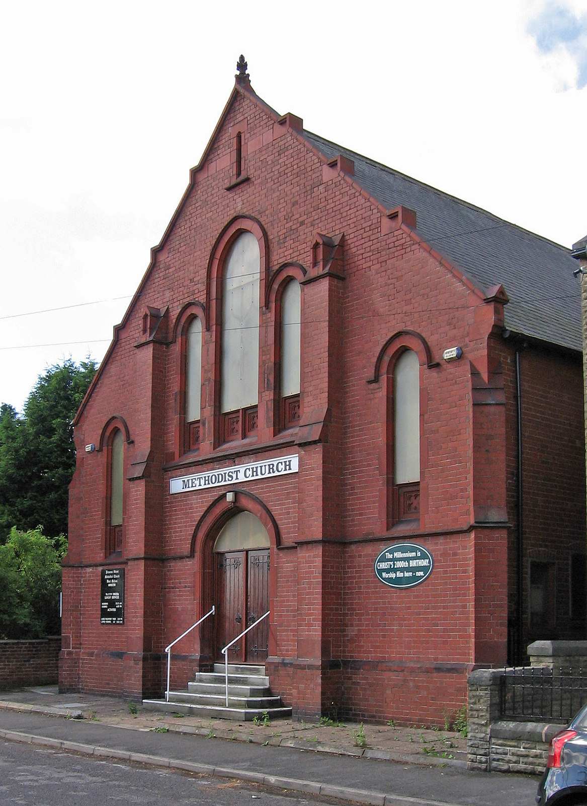
West Melton
Villages · 0.4 km

Parish Map
Public art & sculpture · 0.8 km

Wath upon Dearne
Museums · 1.0 km

Payne Mausoleum
Follies · 1.0 km

Wath Cemetery
Cemeteries · 1.1 km

Flight Path
Public art & sculpture · 1.2 km

RSPB Old Moor
Forests & woodlands · 1.3 km

Wath Academy
Natural landmarks · 1.3 km

Trans Pennine Trail
Military museums · 1.4 km

South Yorkshire
Castles · 1.5 km

Mine Cap
Public art & sculpture · 1.9 km
Fire Basket
Public art & sculpture · 1.9 km
Nearby
📷 5📷 4Public art & sculpture · Yorkshire & the Humber
Parish Map
Parish Map — a public art in england-yorkshire, United Kingdom.
📷 5Museums · Yorkshire & the Humber
Wath upon Dearne
Wath upon Dearne — a museum in england-yorkshire, United Kingdom.
📷 3📷 3📷 3Public art & sculpture · Yorkshire & the Humber
Flight Path
Flight Path — a public art in england-yorkshire, United Kingdom.
Where to eat & stay near Wet Moor Bridge
Places to stay
 📷 5
📷 5Hotels · East Midlands
Staindrop Lodge Hotel
Staindrop Lodge Hotel — a hotel in england east midlands.
 📷 5
📷 5Campsites · Yorkshire & the Humber
Greensprings Touring Park
Greensprings Touring Park — a campsite in england yorkshire.
 📷 5
📷 5Hotels · East Midlands
Hellaby Hall Hotel
Hellaby Hall Hotel — a hotel in england east midlands.
 📷 5
📷 5 📷 5
📷 5Campsites · Yorkshire & the Humber
Silverwood Scout Camp
Silverwood Scout Camp — a campsite in england yorkshire.
 📷 5
📷 5Hotels · East Midlands
Best Western Sheffield City
Best Western Sheffield City — a hotel in england east midlands.
Places to eat & drink
 📷 7
📷 7Historic pubs · Yorkshire & the Humber
Cooperative Store (Barnsley British)
Cooperative Store (Barnsley British) in England Yorkshire, United Kingdom.
 📷 5
📷 5Historic pubs · Yorkshire & the Humber
Yorkshire Bank, Peel Square
Yorkshire Bank, Peel Square in England Yorkshire, United Kingdom.
 📷 5
📷 5Historic pubs · Yorkshire & the Humber
The Strafford Arms
The Strafford Arms in England Yorkshire, United Kingdom.
 📷 5
📷 5Historic pubs · Yorkshire & the Humber
The Ball Public House
The Ball Public House in England Yorkshire, United Kingdom.
 📷 5
📷 5Historic pubs · Yorkshire & the Humber
The Owl Public House
The Owl Public House in England Yorkshire, United Kingdom.
 📷 7
📷 7Historic pubs · Yorkshire & the Humber
Kelham Island Tavern
Kelham Island Tavern in England Yorkshire, United Kingdom.
More bridges in this region
 📷 5
📷 5Historic bridges · Yorkshire & the Humber
Broadbottom Viaduct
Broadbottom Viaduct is a historic bridge in the United Kingdom.
 📷 3
📷 3Historic bridges · Yorkshire & the Humber
Goyt Cliff Viaduct
Goyt Cliff Viaduct is a historic bridge in the United Kingdom.
 📷 3
📷 3Historic bridges · Yorkshire & the Humber
Iron Bridge
Iron Bridge is a historic bridge in the United Kingdom.
.jpg?width=1200) 📷 5
📷 5Historic bridges · Yorkshire & the Humber
Marple Aqueduct
Marple Aqueduct is a historic bridge in the United Kingdom.
Frequently asked questions
- Where is Wet Moor Bridge?
- Wet Moor Bridge is in Yorkshire, United Kingdom (postcode S63 6QE), in the parish of Rotherham, unparished area.
- What is Wet Moor Bridge?
- Wet Moor Bridge — Grade II listed building-listed bridge in england-yorkshire, United Kingdom.
- How do I get to Wet Moor Bridge?
- The nearest railway station is Bolton-upon-Dearne, about 3.1 km away. Drivers can use postcode S63 6QE.
- Is Wet Moor Bridge a listed building?
- Wet Moor Bridge is officially recognised as Grade II listed building listed.
- Is Wet Moor Bridge a protected site?
- Yes — Wet Moor Bridge is part of the Dearne Valley Wetlands SSSI Site of Special Scientific Interest.
- Is Wet Moor Bridge free to visit?
- Yes, Wet Moor Bridge is free to enter.
- How do I get to Wet Moor Bridge?
- The nearest railway station is Bolton-upon-Dearne, about 3.1 km away. Drivers can navigate to postcode S63 6QE.