
Reservoirs & lochs · Yorkshire & the Humber
Roundhill Reservoir
In or near Colsterdale.
Roundhill Reservoir — reservoir in North Yorkshire, England, UK.

Wikimedia Commons contributors — see linked file page for photographer and licence licence

Plan your visit
- Typical visit
- 1 h–2.5 h
- Free entry
- Dog-friendly
About
Roundhill Reservoir is a reservoir in the United Kingdom. Wikidata describes it as: "reservoir in North Yorkshire, England, UK". Coordinates: 54.1889°, -1.7717°.
Photo gallery
Protected designations
- Site of Special Scientific Interest: East Nidderdale Moors (Flamstone Pin - High Ruckles) SSSI
- Area of Outstanding Natural Beauty: Nidderdale
Designations sourced from Natural England open data under OGL v3.
From the Wikipedia article
Roundhill Reservoir is situated near Leighton Reservoir in North Yorkshire, England. It was constructed by Harrogate Corporation early in the 20th century. Water from the reservoir is fed into Yorkshire Water's grid. Roundhill reservoir is overlooked by a stone tower, Carlesmoor sighting tower, which was used to triangulate the end points of a water tunnel from the reservoir to Harrogate. It is one of several Colsterdale towers. Although not in Nidderdale, the reservoir is within the Nidderdale Area of Outstanding Natural Beauty.
Excerpt from Wikipedia under CC BY-SA 4.0. See the source article linked in Sources below.
Background
History
Roundhill Reservoir was built for Harrogate Corporation. It was completed in 1913, at a cost of £500,000. In 1908, while Roundhill was being constructed, Leeds Corporation began building Leighton Reservoir close by. Both reservoirs impounded the water from Pott Beck: Harrogate was permitted by Parliament to take no more than 4 million gallons per day, the rest going to Leeds. The reservoir later was under the jurisdiction of the Claro Water Board.
Sourced from Wikipedia under CC BY-SA 4.0.
- Coordinates
- 54.1889, -1.7717
- District
- North Yorkshire
- Parish
- Ilton-cum-Pott
- Postcode
- HG4 4LT
- Parliamentary constituency
- Skipton and Ripon
Sources
- wikidata: Q7335655 (CC0)
- wikipedia: Roundhill Reservoir (CC BY-SA 4.0)
- commons: RoundhillReservoir.jpg (CC BY-SA 4.0)
Other places nearby

Shortlick Hill
Mountains & hills · 1.3 km

Leighton Reservoir
Reservoirs & lochs · 1.3 km

Arnagill Tower
Memorials & monuments · 1.3 km

Leighton Reservoir
Reservoirs & lochs · 1.9 km

Memorial To The 15Th Battalion West Yorkshire Regiment (The Leeds Pals)
Memorials & monuments · 3.1 km
Leeds Pals
Memorials & monuments · 3.1 km

Pilsdon Cross
Memorials & monuments · 3.2 km
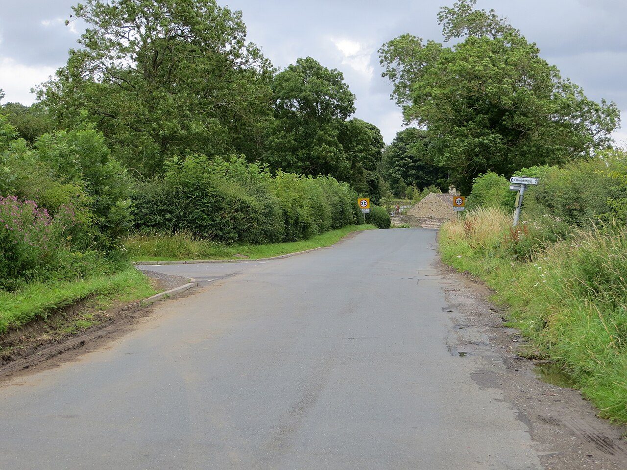
Healey
Villages · 4.0 km

Colsterdale
Towns & cities · 4.7 km

High Thrope
Historic houses · 4.8 km

Manchester Hole
Caves · 5.0 km

Goydon Pot
Caves · 5.1 km
Nearby
📷 5Mountains & hills · Yorkshire & the Humber
Shortlick Hill
Shortlick Hill — mountain in england yorkshire. Elevation: 352.3 m.
📷 5Reservoirs & lochs · Yorkshire & the Humber
Leighton Reservoir
Leighton Reservoir — a reservoir in england yorkshire.
📷 4Memorials & monuments · Yorkshire & the Humber
Arnagill Tower
Arnagill Tower — Grade II listed building-listed memorial in england-yorkshire, United Kingdom.
📷 3Reservoirs & lochs · Yorkshire & the Humber
Leighton Reservoir
Leighton Reservoir — lake in the United Kingdom.
📷 3Memorials & monuments · Yorkshire & the Humber
Memorial To The 15Th Battalion West Yorkshire Regiment (The Leeds Pals)
Memorial To The 15Th Battalion West Yorkshire Regiment (The Leeds Pals) — Grade II listed building-listed memorial in england-yorkshire, United Kingdom.
📷 4Memorials & monuments · Yorkshire & the Humber
Leeds Pals
Leeds Pals — a memorial in Yorkshire & the Humber, United Kingdom.
Where to eat & stay near Roundhill Reservoir
Places to stay
 📷 5
📷 5Caravan parks · Yorkshire & the Humber
Fearby Caravan and Camp Site
Fearby Caravan and Camp Site — a caravan park in england yorkshire.
 📷 5
📷 5Caravan parks · Yorkshire & the Humber
Studfold Farm Static Caravan Park
Studfold Farm Static Caravan Park — a caravan park in england yorkshire.
📷 5Campsites · Yorkshire & the Humber
Studfold Farm Caravan and Camping Park
Studfold Farm Caravan and Camping Park — a campsite in england yorkshire.
 📷 5
📷 5Hotels · Yorkshire & the Humber
Swinton Park
Swinton Park — a hotel in england yorkshire.
 📷 7
📷 7Hotels · Yorkshire & the Humber
Bay Horse
Bay Horse — a hotel in england yorkshire.
 📷 7
📷 7Hotels · Yorkshire & the Humber
King's Head Hotel
King's Head Hotel — a hotel in england yorkshire.
Places to eat & drink
 📷 6
📷 6Historic pubs · Yorkshire & the Humber
The Blue Lion
The Blue Lion in England Yorkshire, United Kingdom.
 📷 7
📷 7Cafés · Yorkshire & the Humber
The Castle Keep Tea Room
The Castle Keep Tea Room — a café in england yorkshire.
 📷 5
📷 5Historic pubs · Yorkshire & the Humber
Foresters Arms Inn
Foresters Arms Inn in England Yorkshire, United Kingdom.
 📷 7
📷 7Historic pubs · Yorkshire & the Humber
The Bruce Arms Inn
The Bruce Arms Inn in England Yorkshire, United Kingdom.
 📷 5
📷 5Historic pubs · Yorkshire & the Humber
The Freemasons Arms
The Freemasons Arms in England Yorkshire, United Kingdom.
 📷 5
📷 5Restaurants · Yorkshire & the Humber
The Sandpiper Inn
The Sandpiper Inn — a restaurant in england yorkshire.
More places in this region
 📷 3
📷 3Reservoirs & lochs · Yorkshire & the Humber
Godley Reservoir
Godley Reservoir — reservoir in Greater Manchester, England, UK.
 📷 3
📷 3Reservoirs & lochs · Yorkshire & the Humber
Gorton Lower Reservoir
Gorton Lower Reservoir — reservoir in Greater Manchester, England, UK.
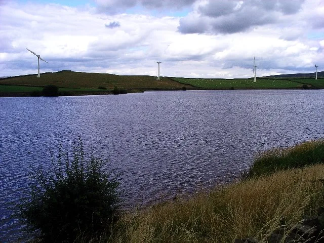 Flagship📷 3
Reservoirs & lochs · Yorkshire & the Humber
Chelker Reservoir
Chelker Reservoir — reservoir in North Yorkshire, England, UK.
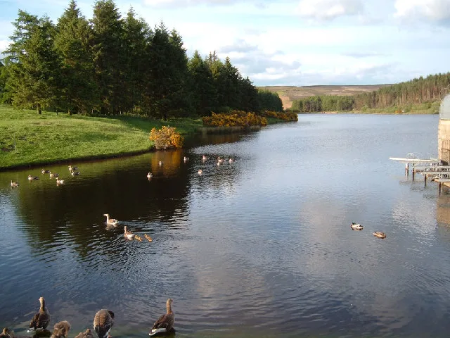 Flagship📷 5
Reservoirs & lochs · Yorkshire & the Humber
Cod Beck Reservoir
Cod Beck Reservoir — reservoir in North Yorkshire, England, UK.
Frequently asked questions
- Where is Roundhill Reservoir?
- Roundhill Reservoir is in Yorkshire, United Kingdom (postcode HG4 4LT), in the parish of Ilton-cum-Pott.
- What is Roundhill Reservoir?
- Roundhill Reservoir — reservoir in North Yorkshire, England, UK.
- How do I get to Roundhill Reservoir?
- The nearest town is Colsterdale. Drivers can use postcode HG4 4LT.
- Is Roundhill Reservoir a protected site?
- Yes — Roundhill Reservoir is part of the East Nidderdale Moors (Flamstone Pin - High Ruckles) SSSI Site of Special Scientific Interest and the Nidderdale National Landscape (AONB).
- Is Roundhill Reservoir free to visit?
- Yes, Roundhill Reservoir is free to enter.
- How do I get to Roundhill Reservoir?
- Drivers can navigate to postcode HG4 4LT. It sits within the Skipton and Ripon parliamentary constituency.