
Memorials & monuments · Yorkshire & the Humber
Arnagill Tower
In or near Lofthouse.
Arnagill Tower — Grade II listed building-listed memorial in england-yorkshire, United Kingdom.

Jon Taylor — CC BY-SA 2.0 via Wikimedia Commons licence

Plan your visit
- Typical visit
- 15 min–45 min
- Free entry
- Dog-friendly
About
Arnagill Tower is a Grade II listed building-listed memorial in england-yorkshire, United Kingdom, registered on the National Heritage List for England (NHLE entry 1132034). Listed status protects buildings and structures of special architectural or historic interest. See the linked Wikipedia article for further details.
Photo gallery
Heritage listing
Arnagill Tower is a historic building in Ilton-cum-Pott, a civil parish in North Yorkshire, in England. The folly was built in 1824 on Masham Moor, to a design by John Foss. It is a round tower, with walls terminating about 10 feet (3.0 m) from the ground, to resemble a ruin. It has one storey, and contains a doorway and three windows, all arched. It is described by Gwyn Headley as a "Gothic mood piece", linked with the nearby Druid's Temple.
From the Historic England List Entry under OGL v3.
Protected designations
- Site of Special Scientific Interest: East Nidderdale Moors (Flamstone Pin - High Ruckles) SSSI
- Area of Outstanding Natural Beauty: Nidderdale
Designations sourced from Natural England open data under OGL v3.
From the Wikipedia article
Arnagill Tower is a historic building in Ilton-cum-Pott, a civil parish in North Yorkshire, in England. The folly was built in 1824 on Masham Moor, to a design by John Foss. It is a round tower, with walls terminating about 10 feet (3.0 m) from the ground, to resemble a ruin. It has one storey, and contains a doorway and three windows, all arched. It is described by Gwyn Headley as a "Gothic mood piece", linked with the nearby Druid's Temple. It was grade II listed in 1986.
Excerpt from Wikipedia under CC BY-SA 4.0. See the source article linked in Sources below.
- Coordinates
- 54.1772, -1.7680
- District
- North Yorkshire
- Parish
- Ilton-cum-Pott
- Postcode
- HG4 4LT
- Parliamentary constituency
- Skipton and Ripon
Sources
- wikidata: Q26424986 (CC0)
- wikipedia: Arnagill Tower (CC BY-SA 4.0)
Other places nearby

Shortlick Hill
Mountains & hills · 1.1 km

Roundhill Reservoir
Reservoirs & lochs · 1.3 km

Leighton Reservoir
Reservoirs & lochs · 2.5 km

Pilsdon Cross
Memorials & monuments · 2.7 km

Leighton Reservoir
Reservoirs & lochs · 3.0 km

Memorial To The 15Th Battalion West Yorkshire Regiment (The Leeds Pals)
Memorials & monuments · 4.4 km
Leeds Pals
Memorials & monuments · 4.4 km

tumuli
Archaeological sites · 4.5 km

Colsterdale towers
Historic houses · 4.7 km

Greygarth Monument
Memorials & monuments · 4.8 km

High Thrope
Historic houses · 4.8 km
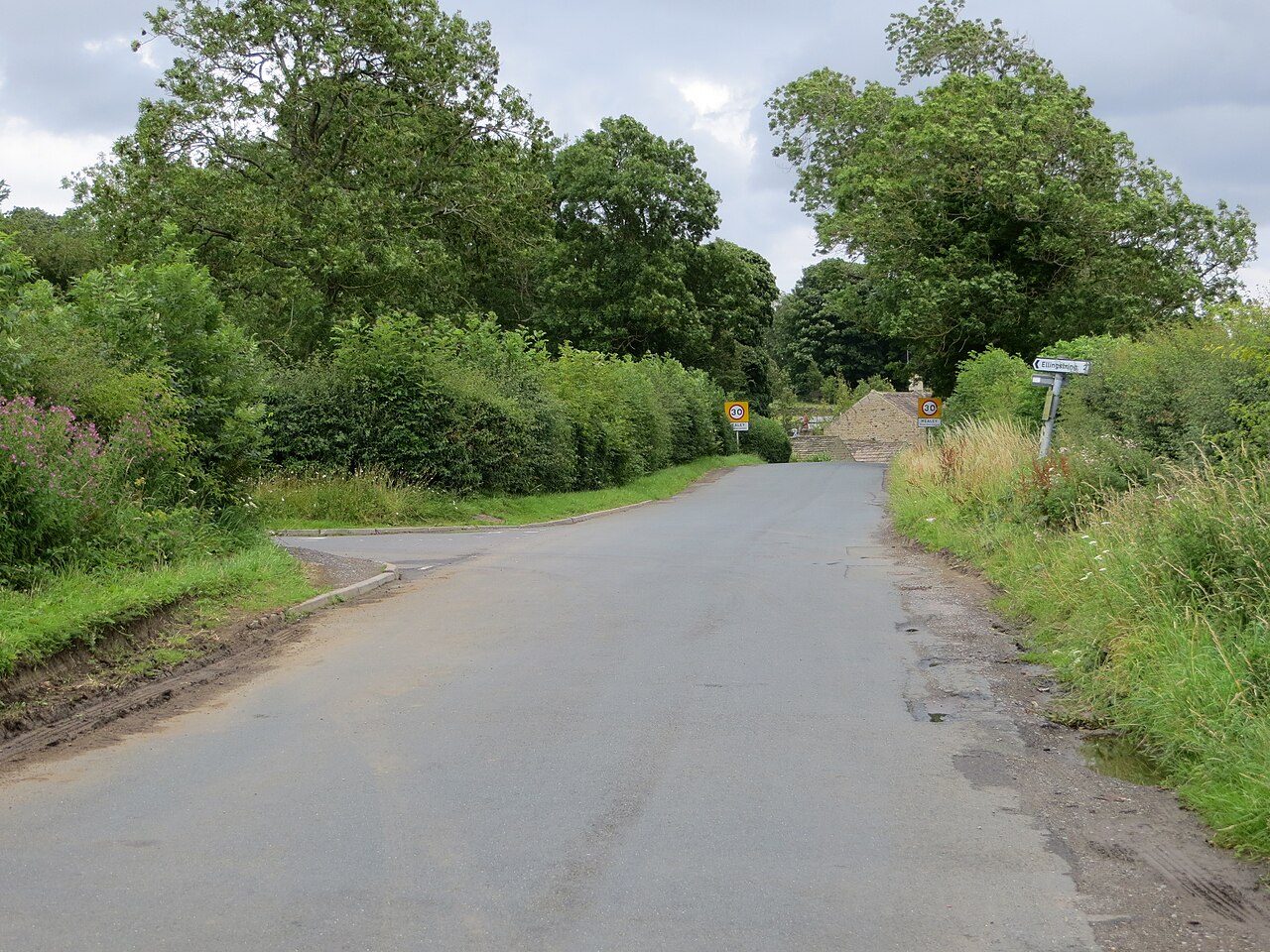
Healey
Villages · 4.9 km
Nearby
📷 5Mountains & hills · Yorkshire & the Humber
Shortlick Hill
Shortlick Hill — mountain in england yorkshire. Elevation: 352.3 m.
📷 3Reservoirs & lochs · Yorkshire & the Humber
Roundhill Reservoir
Roundhill Reservoir — reservoir in North Yorkshire, England, UK.
📷 5Reservoirs & lochs · Yorkshire & the Humber
Leighton Reservoir
Leighton Reservoir — a reservoir in england yorkshire.
📷 3Memorials & monuments · Yorkshire & the Humber
Pilsdon Cross
Pilsdon Cross — a memorial in england-yorkshire, United Kingdom.
📷 3Reservoirs & lochs · Yorkshire & the Humber
Leighton Reservoir
Leighton Reservoir — lake in the United Kingdom.
📷 3Memorials & monuments · Yorkshire & the Humber
Memorial To The 15Th Battalion West Yorkshire Regiment (The Leeds Pals)
Memorial To The 15Th Battalion West Yorkshire Regiment (The Leeds Pals) — Grade II listed building-listed memorial in england-yorkshire, United Kingdom.
Where to eat & stay near Arnagill Tower
Places to stay
 📷 5
📷 5Caravan parks · Yorkshire & the Humber
Studfold Farm Static Caravan Park
Studfold Farm Static Caravan Park — a caravan park in england yorkshire.
📷 5Campsites · Yorkshire & the Humber
Studfold Farm Caravan and Camping Park
Studfold Farm Caravan and Camping Park — a campsite in england yorkshire.
 📷 5
📷 5Caravan parks · Yorkshire & the Humber
Fearby Caravan and Camp Site
Fearby Caravan and Camp Site — a caravan park in england yorkshire.
 📷 5
📷 5Hotels · Yorkshire & the Humber
Swinton Park
Swinton Park — a hotel in england yorkshire.
 📷 7
📷 7Hotels · Yorkshire & the Humber
King's Head Hotel
King's Head Hotel — a hotel in england yorkshire.
 📷 7
📷 7Hotels · Yorkshire & the Humber
Bay Horse
Bay Horse — a hotel in england yorkshire.
Places to eat & drink
 📷 6
📷 6Historic pubs · Yorkshire & the Humber
The Blue Lion
The Blue Lion in England Yorkshire, United Kingdom.
 📷 7
📷 7Historic pubs · Yorkshire & the Humber
The Bruce Arms Inn
The Bruce Arms Inn in England Yorkshire, United Kingdom.
 📷 7
📷 7Cafés · Yorkshire & the Humber
The Castle Keep Tea Room
The Castle Keep Tea Room — a café in england yorkshire.
 📷 5
📷 5Historic pubs · Yorkshire & the Humber
Foresters Arms Inn
Foresters Arms Inn in England Yorkshire, United Kingdom.
 📷 5
📷 5Historic pubs · Yorkshire & the Humber
The Freemasons Arms
The Freemasons Arms in England Yorkshire, United Kingdom.
 📷 5
📷 5Restaurants · Yorkshire & the Humber
The Sandpiper Inn
The Sandpiper Inn — a restaurant in england yorkshire.
More memorials in this region
 📷 3
📷 3Memorials & monuments · Yorkshire & the Humber
Disley War Memorial
Disley War Memorial — War memorial, dating to 1920.
 📷 3
📷 3Memorials & monuments · Yorkshire & the Humber
Hyde war memorial
Hyde war memorial is a memorial in the United Kingdom.
 📷 3
📷 3Memorials & monuments · Yorkshire & the Humber
Audenshaw War Memorial
Audenshaw War Memorial — Grade II listed building-listed memorial in england-west-midlands, United Kingdom.
 📷 3
📷 3Memorials & monuments · Yorkshire & the Humber
War memorial to front of Church of St Paul
War memorial to front of Church of St Paul — Grade II listed building-listed memorial in england-west-midlands, United Kingdom.
Frequently asked questions
- Where is Arnagill Tower?
- Arnagill Tower is in Yorkshire, United Kingdom (postcode HG4 4LT), in the parish of Ilton-cum-Pott.
- What is Arnagill Tower?
- Arnagill Tower — Grade II listed building-listed memorial in england-yorkshire, United Kingdom.
- How do I get to Arnagill Tower?
- Drivers can use postcode HG4 4LT.
- Is Arnagill Tower a listed building?
- Arnagill Tower is officially recognised as Grade II listed building listed.
- Is Arnagill Tower a protected site?
- Yes — Arnagill Tower is part of the East Nidderdale Moors (Flamstone Pin - High Ruckles) SSSI Site of Special Scientific Interest and the Nidderdale National Landscape (AONB).
- Is Arnagill Tower free to visit?
- Yes, Arnagill Tower is free to enter.
- How do I get to Arnagill Tower?
- Drivers can navigate to postcode HG4 4LT. It sits within the Skipton and Ripon parliamentary constituency.