
Archaeological sites · North West England
Roman fort and watch tower, 800m SSW of Amberfield
In or near Burgh by Sands.
Roman fort and watch tower, 800m SSW of Amberfield — archaeological site in Burgh by Sands, Carlisle, England, UK.

Oliver Dixon — CC BY-SA 2.0 via Wikimedia Commons licence

Plan your visit
- Typical visit
- 45 min–1.5 h
- Nearest railway station
- Carlisle · 8.3 km
- Free entry
- Dog-friendly
About
Roman fort and watch tower, 800m SSW of Amberfield is a place of interest in the Scottish Lowlands. Officially recognised as scheduled monument. The site is within the Solway Coast National Landscape (AONB), and is a designated Site of Special Scientific Interest. It sits within the Penrith and Solway parliamentary constituency. The nearest railway station is Carlisle, about 8.3 km away. Postcode area CA5.
Protected designations
- Site of Special Scientific Interest: Upper Solway Flats & Marshes SSSI
- Area of Outstanding Natural Beauty: Solway Coast
- Ramsar wetland: Upper Solway Flats & Marshes
Designations sourced from Natural England open data under OGL v3.
Place summary
The Roman fort and watch tower, located 800m SSW of Amberfield in the Scottish Lowlands, is a scheduled monument of archaeological significance. It lies within the parish of Burgh by Sands and is part of the Upper Solway Flats & Marshes SSSI, the Solway Coast AONB, and the Upper Solway Flats & Marshes RAMSAR site.
AI-generated from the structured facts on this page (operator, designation, listing, era). Not a substitute for visiting.
- Coordinates
- 54.9137, -3.0556
- District
- Cumberland
- Parish
- Burgh by Sands
- Postcode
- CA5 6BS
- Parliamentary constituency
- Penrith and Solway
- Nearest railway station
- Carlisle — 8.3 km
Sources
- wikidata: Q17642236 (CC0)
Other places nearby

Hadrian's Wall vallum between east side of road at Burgh Head, and boundary south of Ash Tree Square, Burgh-by-Sands in wall miles 71 and 72
Archaeological sites · 0.8 km

The Greyhound Inn
Historic pubs · 0.9 km

West Green Bridge
Historic bridges · 0.9 km
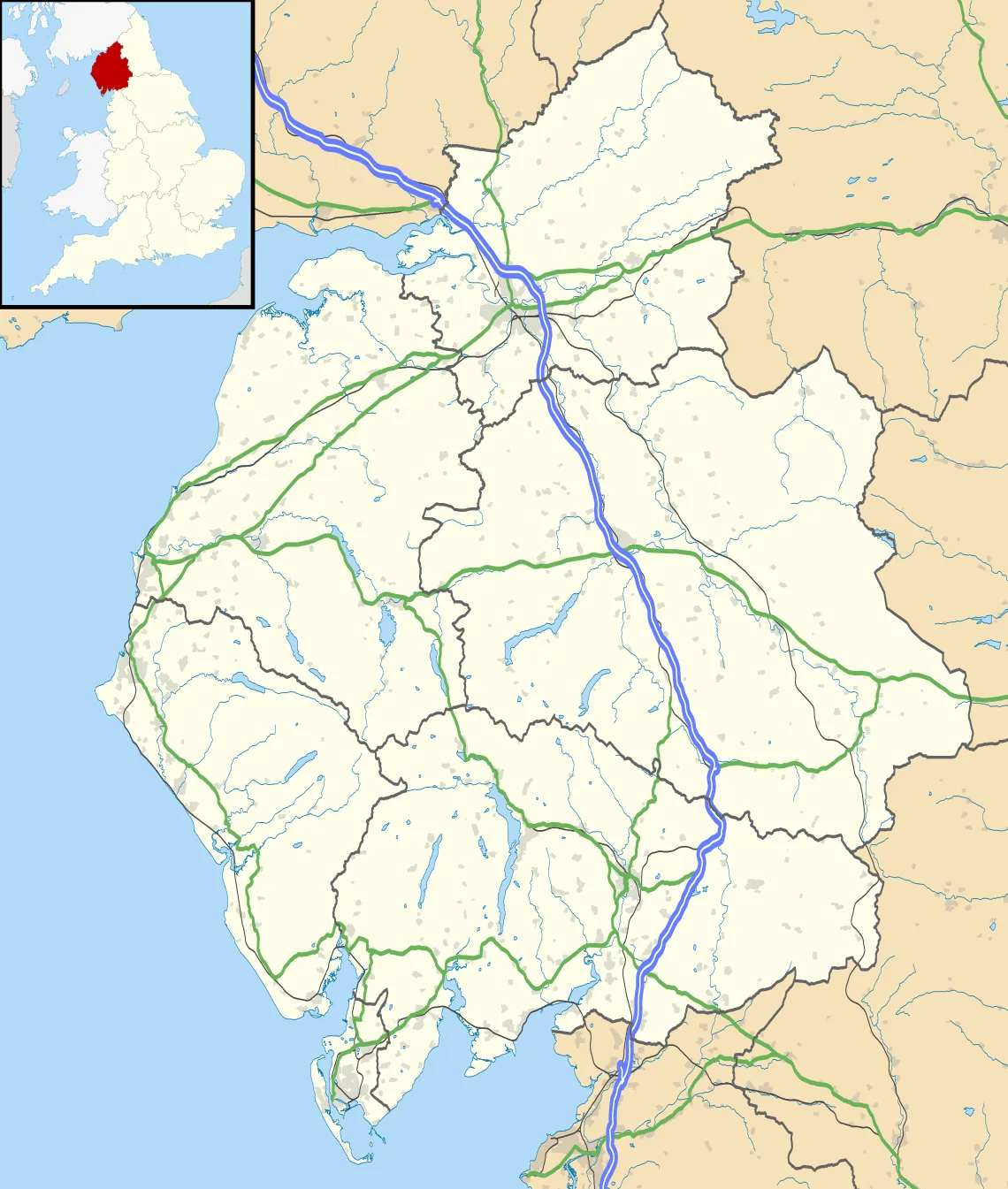
Aballava
Hill forts · 1.0 km
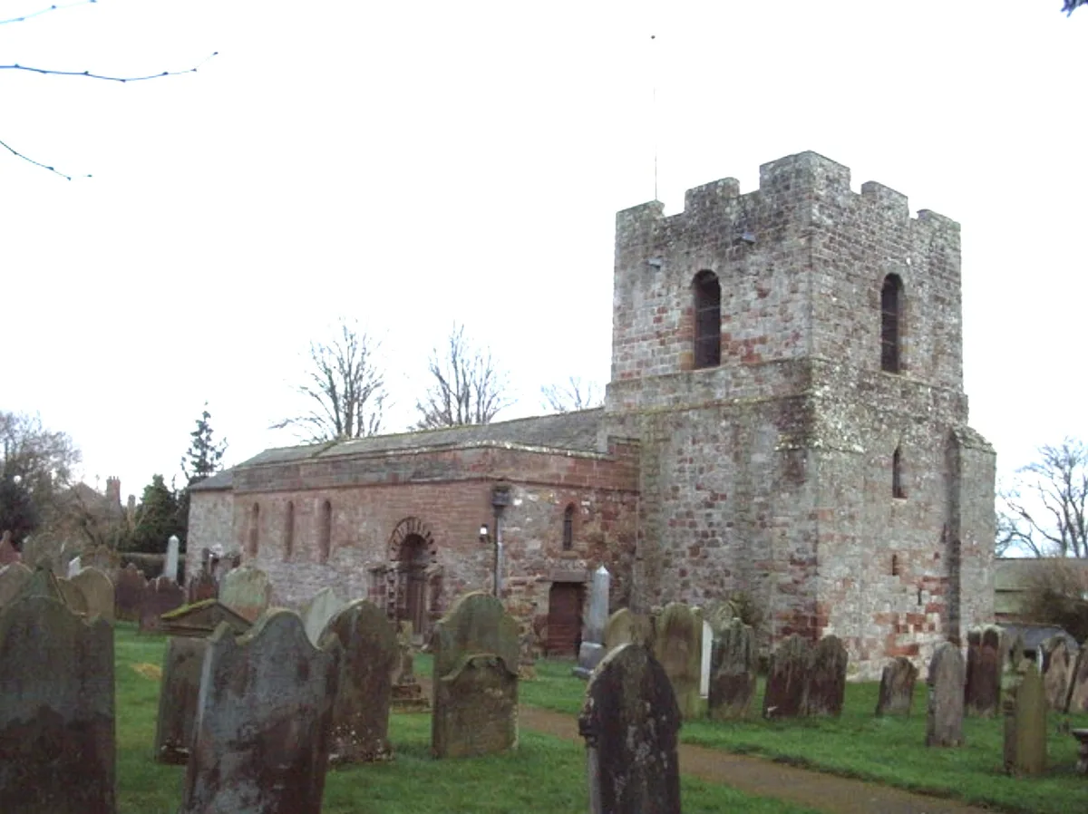
St Michael's Church, Burgh by Sands
Historic churches · 1.0 km

Burgh by Sands War Memorial
Memorials & monuments · 1.1 km

Burgh by Sands
Towns & cities · 1.1 km

Burgh by Sands Roman fort, Beaumont camp, Burgh Castle and Hadrian's Wall from boundary west of churchyard, Beaumont to Burgh Head in wall miles 70 and 71
Archaeological sites · 1.5 km

Cumberland Bird Of Prey Centre
Natural landmarks · 1.6 km
Burgh by Sands Castle
Castles · 1.7 km
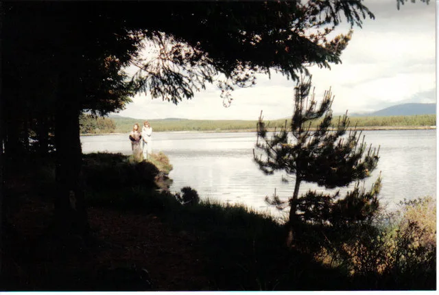
Thurstonfield Lough
Natural landmarks · 1.9 km

Dykesfield Bridge
Historic bridges · 1.9 km
Nearby
📷 3Archaeological sites · North West England
Hadrian's Wall vallum between east side of road at Burgh Head, and boundary south of Ash Tree Square, Burgh-by-Sands in wall miles 71 and 72
Hadrian's Wall vallum between east side of road at Burgh Head, and boundary south of Ash Tree Square, Burgh-by-Sands in wall miles 71 and 72 — archaeological site in Burgh by Sands, Cumbria, England, UK.
📷 7Historic pubs · North West England
The Greyhound Inn
The Greyhound Inn in Scotland Lowlands, United Kingdom.
📷 3Historic bridges · North West England
West Green Bridge
West Green Bridge — Grade II listed building-listed bridge in scotland-lowlands, United Kingdom.
📷 3📷 5Historic churches · North West England
St Michael's Church, Burgh by Sands
St Michael's Church, Burgh by Sands — Grade I listed church in Burgh by Sands, Cumberland, Cumbria , England, UK.
📷 3Memorials & monuments · North West England
Burgh by Sands War Memorial
Burgh by Sands War Memorial — Grade II listed building-listed memorial in scotland-lowlands, United Kingdom.
Where to eat & stay near Roman fort and watch tower, 800m SSW of Amberfield
Places to stay
 📷 5
📷 5Caravan parks · North West England
Orton Grange Park Home Living
Orton Grange Park Home Living — a caravan park in scotland lowlands.
 📷 5
📷 5Campsites · North West England
Camping at cardewlees
Camping at cardewlees — a campsite in scotland lowlands.
 📷 5
📷 5Hostels · North West England
Carlisle City Hostel
Carlisle City Hostel — a hostel in scotland lowlands.
 📷 5
📷 5 📷 7
📷 7Hotels · North West England
Crown and Mitre Hotel
Crown and Mitre Hotel — a hotel in scotland lowlands.
 📷 5
📷 5Hotels · North West England
County Hotel
County Hotel — a hotel in scotland lowlands.
Places to eat & drink
📷 7Historic pubs · North West England
The Greyhound Inn
The Greyhound Inn in Scotland Lowlands, United Kingdom.
 📷 5
📷 5Historic pubs · North West England
Horse And Farrier Public House
Horse And Farrier Public House in Scotland Lowlands, United Kingdom.
 📷 5
📷 5Historic pubs · North West England
Milbourne Arms Public House
Milbourne Arms Public House in Scotland Lowlands, United Kingdom.
 📷 5
📷 5Historic pubs · North West England
The Boardroom Public House
The Boardroom Public House in Scotland Lowlands, United Kingdom.
 📷 7
📷 7Restaurants · North West England
The Old Bank Gastro House
The Old Bank Gastro House — a restaurant in scotland lowlands.
 📷 5
📷 5Historic pubs · North West England
Spinners Arms
Spinners Arms in Scotland Lowlands, United Kingdom.
More archaeological sites in this region
 📷 3
📷 3Archaeological sites · North West England
Early medieval sculptural fragments in St Mary's churchyard
Early medieval sculptural fragments in St Mary's churchyard — archaeological site in Sandbach, Cheshire East, England, UK.
 📷 3
📷 3Archaeological sites · North West England
Gaddum's Wood
Gaddum's Wood is a archaeological site in the United Kingdom.
 📷 3
📷 3Archaeological sites · North West England
Marton moated monastic grange, three fishponds, connecting channels and base of stone cross
Marton moated monastic grange, three fishponds, connecting channels and base of stone cross — archaeological site in Whitegate and Marton, Cheshire West and Chester, England, UK.
 📷 3
📷 3Archaeological sites · North West England
St Oswalds Well
St Oswalds Well — a archaeological in england-west-midlands, United Kingdom.
Frequently asked questions
- Where is Roman fort and watch tower, 800m SSW of Amberfield?
- Roman fort and watch tower, 800m SSW of Amberfield is in the Scottish Lowlands, United Kingdom (postcode CA5 6BS), in the parish of Burgh by Sands.
- What is Roman fort and watch tower, 800m SSW of Amberfield?
- Roman fort and watch tower, 800m SSW of Amberfield — archaeological site in Burgh by Sands, Carlisle, England, UK.
- How do I get to Roman fort and watch tower, 800m SSW of Amberfield?
- The nearest railway station is Carlisle, about 8.3 km away. Drivers can use postcode CA5 6BS.
- Is Roman fort and watch tower, 800m SSW of Amberfield a listed building?
- Roman fort and watch tower, 800m SSW of Amberfield is officially recognised as scheduled monument listed.
- Is Roman fort and watch tower, 800m SSW of Amberfield a protected site?
- Yes — Roman fort and watch tower, 800m SSW of Amberfield is part of the Upper Solway Flats & Marshes SSSI Site of Special Scientific Interest and the Solway Coast National Landscape (AONB).
- Is Roman fort and watch tower, 800m SSW of Amberfield free to visit?
- Yes, Roman fort and watch tower, 800m SSW of Amberfield is free to enter.
- How do I get to Roman fort and watch tower, 800m SSW of Amberfield?
- Drivers can navigate to postcode CA5 6BS. It sits within the Penrith and Solway parliamentary constituency.