
Stone circles · South East England
The Rollright Stones
In or near Cornwell.
Three Neolithic monuments turned to stone by a witch, according to local legend.

Brian Robert Marshall — CC BY-SA 2.0 via Wikimedia Commons licence

Plan your visit
- Typical visit
- 30 min–1 h
- Nearest railway station
- Moreton-in-Marsh · 9.1 km
- Free entry
- Dog-friendly
Getting there & planning your visit
The Rollright Stones is located in Warwickshire, with the nearest railway station being Moreton-in-Marsh, approximately 9.1 km away. Entry to the site is free.
About
The Rollright Stones are three Neolithic and Bronze Age megalithic monuments on the Oxfordshire-Warwickshire border, traditionally known as the King's Men (a stone circle of around 70 stones), the King Stone (a single tall outlier) and the Whispering Knights (a cluster of five stones from a destroyed long barrow). Folklore says they are a king and his knights petrified by a witch — a story that has clung to the site for at least 700 years and given the local pub the name 'The Wyzard'. Free to visit, signposted off the A3400.
Photo gallery
See it from the streetimagery from 2025
Imagery © Mapillary contributors, CC BY-SA 4.0
Protected designations
- Area of Outstanding Natural Beauty: Cotswolds
Designations sourced from Natural England open data under OGL v3.
From the Wikipedia article
The Rollright Stones are a complex of three Neolithic and Bronze Age megalithic monuments near the village of Long Compton, on the borders of Oxfordshire and Warwickshire. Constructed from local oolitic limestone, the three monuments, now known as the King's Men and the Whispering Knights in Oxfordshire and the King Stone in Warwickshire, are distinct in their design and purpose. They were built at different periods in late prehistory. During the period when the three monuments were erected, there was a continuous tradition of ritual behaviour on sacred ground, from the 4th to the 2nd millennium BCE. The first to be constructed was the Whispering Knights, a dolmen that dates to the Early or Middle Neolithic period. It was likely to have been used as a place of burial. This was followed by the King's Men, a stone circle that was constructed in the Late Neolithic or Early Bronze Age; unusually, it has parallels to other circles located further north, in the Lake District, implying a trade-based or ritual connection. The third monument, the King Stone, is a single monolith. Although its construction has not been dated, the dominant theory amongst archaeologists is that it was a Bronze Age grave marker. The British philologist Richard Coates has proposed that the name "Rollright" is from the Brittonic phrase *rodland rïx 'wheel enclosure groove', where *rïx 'groove' refers to a narrow valley near Great Rollright and *rodland 'wheel enclosure' refers to the King's Men circle. By the early modern period, folkloric stories had developed about the Stones, telling of how they had once been a king and his knights who had been turned to stone by a witch. Such stories continued to be taught amongst local people well into the 19th century. Meanwhile, antiquarians such as William Camden, John Aubrey and William Stukeley had begun to take an interest in the monuments. Fuller archaeological investigations were undertaken in the 20th century, culminating in excavations run by…
Excerpt from Wikipedia under CC BY-SA 4.0. See the source article linked in Sources below.
Background
Architecture
The Rollright Stones are three separate megalithic monuments, constructed close to one another during the later prehistoric ages of the Neolithic and Bronze Age. Their current names – the King's Men, the King Stone, and the Whispering Knights – descend from folklore that has surrounded the site since the early modern period. These local terms have since been adopted by archaeologists and heritage managers. Archaeologist George Lambrick argued that the stones had been discovered by prehistoric peoples as naturally occurring surface boulders, rather than having been quarried. He noted they had certain weathering patterns which were consistent with those found on surface boulders. Basing his…
Description
Believed to be the earliest of the Rollright Stones, the Whispering Knights are the remains of the burial chamber of an Early or Middle Neolithic portal dolmen, lying 400 metres east of the King's Men. Although archaeologists and antiquarians had been speculating and debating the nature of the Whispering Knights for centuries, more about the monument was revealed only following the excavations carried out around the stones by George Lambrick and his team during the 1980s. They found that the portal dolmen had never been a part of a longer cairn, as had been suggested by some earlier investigators. In addition, they uncovered a few pieces of Neolithic pottery around the monument. Writing in…
Sourced from Wikipedia under CC BY-SA 4.0.
- Coordinates
- 51.9758, -1.5707
- County
- Warwickshire
- District
- Stratford-on-Avon
- Parish
- Long Compton
- Postcode
- OX7 5QB
- Parliamentary constituency
- Stratford-on-Avon
- Nearest railway station
- Moreton-in-Marsh — 9.1 km
Sources
- manual: rollright-stones (manual)
- wikipedia: Rollright Stones (CC BY-SA 4.0)
Featured in these 4 guides
Itinerary
Neolithic Britain's stone circles
Stonehenge gets the headlines. Avebury, Callanish and Castlerigg deserve them.
Itinerary
Neolithic Britain: stones, circles and burial mounds
Stonehenge, Avebury, Skara Brae and the henges of Orkney — 5,000 years of monument.
Itinerary
Weird and wonderful Britain: 12 oddities
Chalk giants, follies, marble mountains and a 4-million-shell underground passage.
Itinerary
Britain's earliest stone circles
Nine Neolithic circles from Stonehenge to Callanish.
Other places nearby

King's Men stone circle
Stone circles · 0.0 km

King's Men stone circle
Archaeological sites · 0.0 km

King Stone
Archaeological sites · 0.1 km

Whispering Knights
Natural landmarks · 0.4 km

Church of St Philip
Historic churches · 0.8 km

Little Rollright
Villages · 0.9 km

South Hill
Mountains & hills · 1.6 km
_-_geograph.org.uk_-_1930395.jpg?width=1200)
Long Compton Millennium Chronolog
National landscapes (AONB) · 1.7 km

Long Compton
Villages · 2.1 km

Salford Manor
Manor houses · 2.5 km

Great Rollright
Villages · 2.9 km
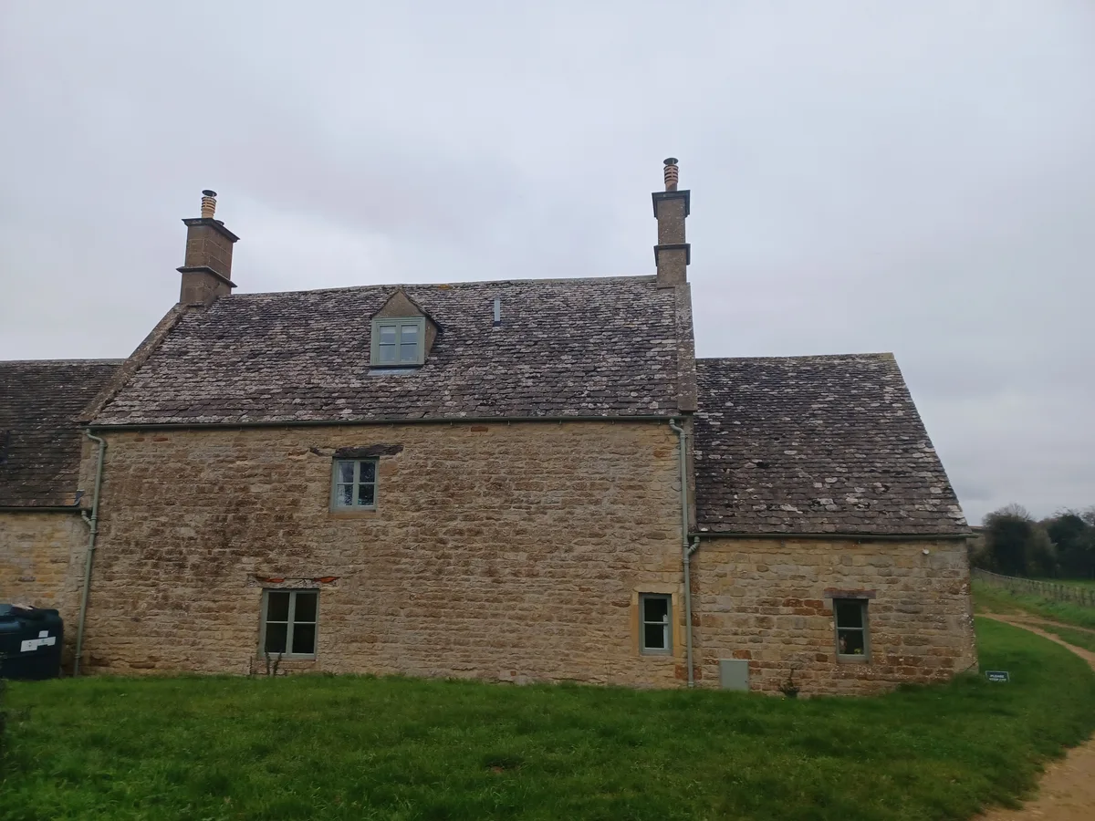
Wheelbarrow Castle
Castles · 2.9 km
Nearby
📷 3Stone circles · West Midlands
King's Men stone circle
King's Men stone circle — a stone circle in england-west-midlands, United Kingdom.
📷 5Archaeological sites · West Midlands
King's Men stone circle
King's Men stone circle — archaeological in england west midlands.
📷 3Archaeological sites · West Midlands
King Stone
King Stone — a archaeological in england-west-midlands, United Kingdom.
📷 3Natural landmarks · South East England
Whispering Knights
Whispering Knights — a other in england-west-midlands, United Kingdom.
📷 3Historic churches · South East England
Church of St Philip
Church of St Philip — Grade II* listed building-listed church in england-west-midlands, United Kingdom.
📷 5Where to eat & stay near The Rollright Stones
Places to stay
 📷 5
📷 5Campsites · West Midlands
Cotswolds Camping at Holycombe
Cotswolds Camping at Holycombe — a campsite in england west midlands.
 📷 5
📷 5Campsites · South East England
Merryweather Farm Campsite
Merryweather Farm Campsite — a campsite in england west midlands.
 📷 5
📷 5Campsites · South East England
Chipping Norton Camp Site
Chipping Norton Camp Site — a campsite in england west midlands.
 📷 5
📷 5Hotels · South East England
Heythrop Park Resort
Heythrop Park Resort — a hotel in england west midlands.
 📷 5
📷 5Hotels · South East England
The Manor House
The Manor House — a hotel in england west midlands.
 📷 5
📷 5Hotels · South East England
The White Hart Royal Hotel & Eatery
The White Hart Royal Hotel & Eatery — a hotel in england west midlands.
Places to eat & drink
 📷 7
📷 7Historic pubs · South East England
The Bunch Of Grapes Public House
The Bunch Of Grapes Public House in England South East, United Kingdom.
 📷 5
📷 5Historic pubs · West Midlands
Cherington Arms Public House
Cherington Arms Public House in England West Midlands, United Kingdom.
 📷 7
📷 7Historic pubs · South East England
The Wellington Inn
The Wellington Inn in England South East, United Kingdom.
 📷 7
📷 7 📷 5
📷 5Cafés · South East England
Martha's Coffee House
Martha's Coffee House — a café in england west midlands.
 📷 5
📷 5Cafés · South East England
Quince and Clover at Great Tew
Quince and Clover at Great Tew — a café in england west midlands.
More places in this region
 📷 5
📷 5Stone circles · South East England
Stonor Park
Stonor Park is a historic country house and private deer park situated in a valley in the Chiltern Hills at Stonor, about four miles (6.4 km) north of Henley-on-Thames in Oxfordshire, England, close t
 📷 5
📷 5Stone circles · South East England
Long Tom Standing Stone
Long Tom Standing Stone — a stone circle in england-south-east, United Kingdom.
 📷 5
📷 5Stone circles · South East England
Langdean Stone Circle
Langdean Stone Circle — a stone circle in england-south-east, United Kingdom.
 📷 5
📷 5Stone circles · South East England
Day House Lane Stone Circle
Day House Lane Stone Circle — a stone circle in england-south-east, United Kingdom.
Frequently asked questions
- Where is The Rollright Stones?
- The Rollright Stones is in Warwickshire, South-West England, United Kingdom (postcode OX7 5QB), in the parish of Long Compton.
- What is The Rollright Stones?
- Three Neolithic monuments turned to stone by a witch, according to local legend.
- How do I get to The Rollright Stones?
- The nearest railway station is Moreton-in-Marsh, about 9.1 km away. Drivers can use postcode OX7 5QB.
- When was The Rollright Stones built?
- Dates from the Neolithic period.
- Is The Rollright Stones a protected site?
- Yes — The Rollright Stones is part of the Cotswolds National Landscape (AONB).
- Is The Rollright Stones free to visit?
- Yes, The Rollright Stones is free to enter.
- How do I get to The Rollright Stones?
- Drivers can navigate to postcode OX7 5QB. It sits within the Stratford-on-Avon parliamentary constituency.