Natural landmarks · North East England
River Glen
In or near Akeld.
River Glen in England North East, United Kingdom.

Lisa Jarvis — CC BY-SA 2.0 via Wikimedia Commons licence
Plan your visit
- Typical visit
- 1 h–2 h
- Nearest railway station
- Heatherslaw · 7.9 km
- Free entry
- Dog-friendly
Getting there & planning your visit
To visit River Glen in Northumberland, the nearest railway station is Heatherslaw, located 7.9 km away. Entry to the site is free.
About
River Glen is a place of interest in England North East, United Kingdom — drawn from open-data sources for visitor reference. See the linked Wikipedia article for the full description.
Photo gallery
Protected designations
- Site of Special Scientific Interest: Tweed Catchment Rivers - England: Till Catchment SSSI
Designations sourced from Natural England open data under OGL v3.
From the Wikipedia article
The River Glen is a seven mile long tributary of the River Till flowing through northern Northumberland, England, United Kingdom. The College Burn and Bowmont Water, both flowing out of the Cheviot Hills, meet near Kirknewton to form the River Glen. The Glen flows past the small settlements of Yeavering, Lanton, Coupland, Akeld, and Ewart, and through the valley of Glendale, before joining the Till.
Excerpt from Wikipedia under CC BY-SA 4.0. See the source article linked in Sources below.
Background
History
The area around the Glen is rich in historical and archaeological interest. Iron Age hillforts on peaks to the south of the River overlook the Anglo-Saxon settlement and palace site at Yeavering, where St. Paulinus baptised new converts and, according to St. Bede, "washed them with the water of absolution in the river Glen, which is close by" (Tomlinson, 1888, p. 504). The vicinity of the Glen was the setting for some of the bloodiest border warfare between Scotland and England. The Battle of Humbleton Hill was fought near the River in 1402, and so was the Battle of Geteryne (Yeavering) in 1415.
Sourced from Wikipedia under CC BY-SA 4.0.
- Coordinates
- 55.5680, -2.1050
- District
- Northumberland
- Parish
- Kirknewton
- Postcode
- NE71 6HG
- Parliamentary constituency
- North Northumberland
- Nearest railway station
- Heatherslaw — 7.9 km
Sources
- wikidata: Q7337461 (CC0)
- wikipedia: River Glen, Northumberland (CC BY-SA 4.0)
Other places nearby

Yeavering
Archaeological sites · 0.2 km

Burrowses Camp
Vineyards · 0.4 km
Coupland Ford
Natural landmarks · 0.5 km
Unnamed (Kirknewton)
Vineyards · 0.6 km
Coupland Castle
Castles · 0.7 km

The Great Enclosure
Vineyards · 0.8 km

Ad Gefrin Plaque and Information
Memorials & monuments · 0.8 km

Yeavering Bell Hillfort
Hill forts · 1.3 km
Yeavering Bell
Mountains & hills · 1.3 km

Yeavering Bell camp
Vineyards · 1.4 km
Yeavering Bell Hill Fort
Hill forts · 1.4 km

A697 road
Other places · 1.7 km
Nearby
📷 3Archaeological sites · North East England
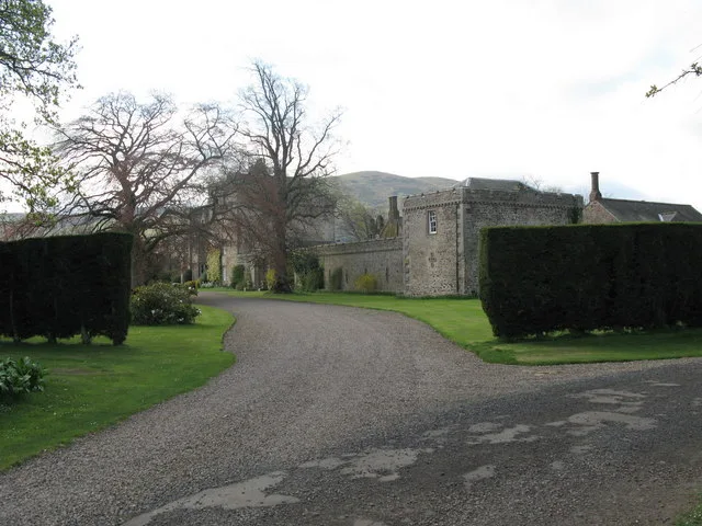
Yeavering
Yeavering in England North East, United Kingdom.
📷 5Vineyards · North East England
Burrowses Camp
Burrowses Camp — a UK vineyard in scotland central, producing English or Welsh wine from cool-climate grape varieties.
📷 3Natural landmarks · North East England
Coupland Ford
Coupland Ford — a other in scotland-central, United Kingdom.
📷 5Vineyards · North East England
Unnamed (Kirknewton)
Unnamed (Kirknewton) — a UK vineyard in scotland central, producing English or Welsh wine from cool-climate grape varieties.
📷 3Castles · North East England
Coupland Castle
Coupland Castle — Grade I listed castle in Ewart, Northumberland, England, UK.
📷 5Vineyards · North East England
The Great Enclosure
The Great Enclosure — a UK vineyard in scotland central, producing English or Welsh wine from cool-climate grape varieties.
Where to eat & stay near River Glen
Places to stay
 📷 5
📷 5Caravan parks · North East England
Highburn House Country Holiday Park
Highburn House Country Holiday Park — a caravan park in scotland central.
 📷 7
📷 7Hotels · North East England
Tankerville Arms Hotel
Tankerville Arms Hotel — a hotel in scotland central.
 📷 7
📷 7Hotels · North East England
The Black Bull
The Black Bull — a hotel in scotland central.
 📷 5
📷 5Hotels · North East England
No 1 Hotel
No 1 Hotel — a hotel in scotland central.
 📷 5
📷 5Hostels · North East England
Wooler Hostel
Wooler Hostel — a hostel in scotland central.
 📷 5
📷 5Caravan parks · North East England
Bridgend Park
Bridgend Park — a caravan park in scotland central.
Places to eat & drink
 📷 7
📷 7 📷 4
📷 4Historic pubs · Scottish Lowlands
Newcastle Arms
Newcastle Arms — Historic pub — listed building or notable heritage status.
 📷 5
📷 5Historic pubs · Scottish Lowlands
The Masons Arms
The Masons Arms in Scotland Lowlands, United Kingdom.
 📷 7
📷 7Historic pubs · Scottish Lowlands
The Victoria Hotel
The Victoria Hotel in Scotland Lowlands, United Kingdom.
 📷 7
📷 7Historic pubs · North East England
Plough Inn With Outbuilding To North
Plough Inn With Outbuilding To North in Scotland Lowlands, United Kingdom.
 📷 7
📷 7Historic pubs · North East England
59 And 61, Bridge Street
59 And 61, Bridge Street in Scotland Lowlands, United Kingdom.
More natural landmarks in this region
 📷 4
📷 4Natural landmarks · North East England
Cleveland Way
109-mile horseshoe trail around the North York Moors and its sea cliffs.
 📷 3
📷 3Natural landmarks · North East England
The Hand Stone
The Hand Stone — a other in england-yorkshire, United Kingdom.
 📷 3
📷 3Natural landmarks · North East England
The Face Stone
The Face Stone — a other in england-yorkshire, United Kingdom.
 📷 3
📷 3Frequently asked questions
- Where is River Glen?
- River Glen is in North-East England, United Kingdom (postcode NE71 6HG), in the parish of Kirknewton.
- What is River Glen?
- River Glen in England North East, United Kingdom.
- How do I get to River Glen?
- The nearest railway station is Heatherslaw, about 7.9 km away. Drivers can use postcode NE71 6HG.
- Is River Glen a protected site?
- Yes — River Glen is part of the Tweed Catchment Rivers - England: Till Catchment SSSI Site of Special Scientific Interest.
- Is River Glen free to visit?
- Yes, River Glen is free to enter.
- How do I get to River Glen?
- The nearest railway station is Heatherslaw, about 7.9 km away. Drivers can navigate to postcode NE71 6HG.