Natural landmarks · North East England
River Balder
In or near Startforth.
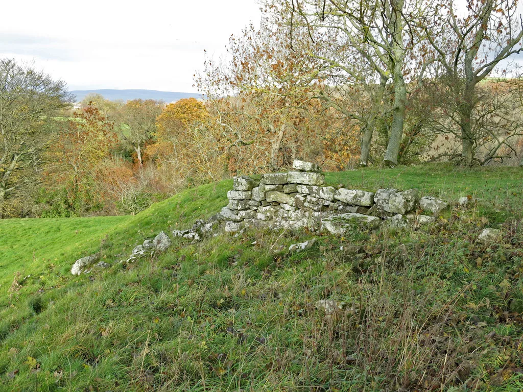
River Balder in England North East, United Kingdom.

Anthony Parkes — CC BY-SA 2.0 via Wikimedia Commons licence
Plan your visit
- Typical visit
- 1 h–2 h
- Dog-friendly
About
River Balder is a place of interest in England North East, United Kingdom — drawn from open-data sources for visitor reference. See the linked Wikipedia article for the full description.
Photo gallery
Protected designations
- Site of Special Scientific Interest: Shipley and Great Woods SSSI
- Area of Outstanding Natural Beauty: North Pennines
Designations sourced from Natural England open data under OGL v3.
From the Wikipedia article
The Balder is an English river that rises on the eastern slope of Stainmore Common in the Pennine Chain and flows eastwards for about 23.4 kilometres (14.5 mi), before joining the River Tees at Cotherstone. The River Balder is in County Durham, but until 1974, it was in the North Riding of Yorkshire. The head of the valley is a bleak moorland, with hills around it exceeding 500 feet (150 m). the name is first recorded in the 13th century, and is thought to derive from an Old English personal name (B(e)aldhere), with possibly the river valley being named Baldersdale first, and the river being named later. For the first 4 kilometres (2.5 mi), the watercourse runs as Balder Beck, before meeting Black Beck and forming the River Balder proper at NY886173. The River Balder enters Balderhead Reservoir about 7 kilometres (4.3 mi) from the source, at 336 metres (1,102 ft) above sea level. It spills into two more reservoirs further down Baldersdale: Blackton Reservoir and Hury Reservoir. The scenery becomes gentler as it descends past Baldersdale Youth Hostel. The distinctive flat peak of Goldsborough to the south is passed before the valley begins to open out as the river enters Blackton Reservoir at 285 metres (935 ft). The course of the valley carries on at a virtually exactly east direction as the River Balder enters Hury Reservoir at about 260 m (850 ft), passing the village of Hury which lies to the north. The river now begins to twist and turn and is crossed by the grade II listed, nine-arched Balder Railway Viaduct, which was used by the Barnard Castle to Middleton-in-Teesdale railway line before it was closed. It finally joins the River Tees at Cotherstone, at a height of about 162 metres (531 ft).
Excerpt from Wikipedia under CC BY-SA 4.0. See the source article linked in Sources below.
- Coordinates
- 54.5833, -1.9833
- District
- County Durham
- Parish
- Hunderthwaite
- Postcode
- DL12 9UQ
- Parliamentary constituency
- Bishop Auckland
Sources
- wikidata: Q7337119 (CC0)
- wikipedia: River Balder (CC BY-SA 4.0)
Other places nearby

Percy Myre Rock
Viewpoints · 0.3 km
Shipley and Great Woods
Natural landmarks · 0.5 km

Marwood Caravan Park
Caravan parks · 0.6 km

Fairy Cupboards
Natural landmarks · 0.6 km

The Christening Stone, 160m east of Doe Park
Historic houses · 0.8 km
Doe Park Cross
Memorials & monuments · 0.8 km
Cotherstone Castle
Castles · 0.9 km

Doe Park Caravan Site
Caravan parks · 1.0 km

Doe Park Mill
Archaeological sites · 1.0 km

Cotherstone
Castles · 1.2 km

Balder Viaduct
Castles · 1.8 km

Cotherstone railway station
Castles · 1.8 km
Nearby
📷 3Viewpoints · North East England
Percy Myre Rock
Percy Myre Rock is a viewpoint in the United Kingdom.
📷 3Natural landmarks · North East England
Shipley and Great Woods
Shipley and Great Woods in England North East, United Kingdom.
📷 5Caravan parks · North East England
Marwood Caravan Park
Marwood Caravan Park — a caravan park in england north east.
📷 3Natural landmarks · North East England
Fairy Cupboards
Fairy Cupboards — a other in england-north-east, United Kingdom.
📷 3Historic houses · North East England
The Christening Stone, 160m east of Doe Park
The Christening Stone, 160m east of Doe Park — a Grade II*-listed historic house in england-north-east, United Kingdom.
📷 3Memorials & monuments · North East England
Doe Park Cross
Doe Park Cross — a memorial in england-north-east, United Kingdom.
Where to eat & stay near River Balder
Places to stay
📷 5Caravan parks · North East England
Marwood Caravan Park
Marwood Caravan Park — a caravan park in england north east.
📷 5Caravan parks · North East England
Doe Park Caravan Site
Doe Park Caravan Site — a caravan park in england north east.
 📷 5
📷 5Caravan parks · North East England
Pecknell Farm Caravan Site
Pecknell Farm Caravan Site — a caravan park in england north east.
 📷 5
📷 5Campsites · North East England
Hill Top Huts
Hill Top Huts — a campsite in scotland lowlands.
 📷 5
📷 5Campsites · North East England
Barnard Castle Camping and Caravanning Club Site
Barnard Castle Camping and Caravanning Club Site — a campsite in england north east.
 📷 5
📷 5Campsites · North East England
Hetherick Caravan Park
Hetherick Caravan Park — a campsite in england north east.
Places to eat & drink
 📷 6
📷 6Historic pubs · North East England
Commercial Hotel
Commercial Hotel in England North East, United Kingdom.
 📷 6
📷 6Historic pubs · North East England
Cricketers' Arms Public House
Cricketers' Arms Public House in England North East, United Kingdom.
 📷 5
📷 5Historic pubs · North East England
The White Swan Public House And Swan Cottage
The White Swan Public House And Swan Cottage in England North East, United Kingdom.
 📷 5
📷 5 📷 5
📷 5Historic pubs · North East England
Turk's Head Public House
Turk's Head Public House in England North East, United Kingdom.
 📷 5
📷 5Historic pubs · North East England
Blue Bell Public House
Blue Bell Public House in England North East, United Kingdom.
More natural landmarks in this region
 📷 4
📷 4Natural landmarks · North East England
Cleveland Way
109-mile horseshoe trail around the North York Moors and its sea cliffs.
 📷 3
📷 3Natural landmarks · North East England
The Hand Stone
The Hand Stone — a other in england-yorkshire, United Kingdom.
 📷 3
📷 3Natural landmarks · North East England
The Face Stone
The Face Stone — a other in england-yorkshire, United Kingdom.
 📷 3
📷 3Frequently asked questions
- Where is River Balder?
- River Balder is in North-East England, United Kingdom (postcode DL12 9UQ), in the parish of Hunderthwaite.
- What is River Balder?
- River Balder in England North East, United Kingdom.
- How do I get to River Balder?
- Drivers can use postcode DL12 9UQ.
- Is River Balder a protected site?
- Yes — River Balder is part of the Shipley and Great Woods SSSI Site of Special Scientific Interest and the North Pennines National Landscape (AONB).
- How do I get to River Balder?
- Drivers can navigate to postcode DL12 9UQ. It sits within the Bishop Auckland parliamentary constituency.