
Museums · East Midlands
River Ashop
In or near Hathersage.
The River Ashop is a river in the Derbyshire Peak District, England. Its source is on the eastern slopes of Mill Hill, three miles south east of Glossop and just north of Kinder Scout. The river flows

David Lally — CC BY-SA 2.0 via Wikimedia Commons licence

Plan your visit
- Typical visit
- 1.5 h–3 h
- Best time of year
- Year-round
- Nearest railway station
- Hope · 3.3 km
- Family-friendly
- Limited wheelchair access
Getting there & planning your visit
To visit River Ashop, the nearest railway station is Hope, located 3.3 km away. The postcode for sat-nav is S33 0AX. Entry is free, but accessibility is limited for wheelchair users.
About
The River Ashop is a river in the Derbyshire Peak District, England. Its source is on the eastern slopes of Mill Hill, three miles south east of Glossop and just north of Kinder Scout. The river flows approximately ten kilometres east, following the Sheffield to Manchester Snake Pass road through remote countryside, before emptying into Ladybower Reservoir, which itself flows into the River Derwent. The only significant tributary of the River Ashop is the short River Alport. The flow of the Alport is partially diverted by a weir to feed into the Ashop above the impound weir built in the 1920s to increase the catchment area of the Derwent Reservoir prior to the building of the Ladybower Reservoir downstream. The weir impounded the water and fed it into an open culvert (water conduit) that was built along the side of the hill. The culvert then feeds into a siphon over the river in a 6-foot-diameter (1.8 m) iron pipe before entering a tunnel to pass through the hill to the Derwent Reservoir via an open watercourse, entering the reservoir just north of the dam wall. The concrete structure of the weir is visible when travelling up the Snake Pass route from Sheffield.
Photo gallery
Protected designations
- Site of Special Scientific Interest: Dark Peak SSSI
Designations sourced from Natural England open data under OGL v3.
From the Wikipedia article
The River Ashop is a river in the Derbyshire Peak District, England. Its source is on the eastern slopes of Mill Hill, three miles south east of Glossop and just north of Kinder Scout. The river flows approximately ten kilometres east, following the Sheffield to Manchester Snake Pass road through remote countryside, before emptying into Ladybower Reservoir, which itself flows into the River Derwent. The only significant tributary of the River Ashop is the short River Alport. The flow of the Alport is partially diverted by a weir to feed into the Ashop above the impound weir built in the 1920s to increase the catchment area of the Derwent Reservoir prior to the building of the Ladybower Reservoir downstream. The weir impounded the water and fed it into an open culvert (water conduit) that was built along the side of the hill. The culvert then feeds into a siphon over the river in a 6-foot-diameter (1.8 m) iron pipe before entering a tunnel to pass through the hill to the Derwent Reservoir via an open watercourse, entering the reservoir just north of the dam wall. The concrete structure of the weir is visible when travelling up the Snake Pass route from Sheffield.
Excerpt from Wikipedia under CC BY-SA 4.0. See the source article linked in Sources below.
- Coordinates
- 53.3730, -1.7107
- County
- Derbyshire
- District
- High Peak
- Parish
- Derwent
- Postcode
- S33 0AX
- Parliamentary constituency
- High Peak
- Nearest railway station
- Hope — 3.3 km
- Official site
- data.gov.uk
Sources
- wikipedia: River Ashop (CC BY-SA 4.0)
Other places nearby

Ashopton Viaduct
Historic bridges · 0.2 km

Derwent Valley Water Board
Memorials & monuments · 1.2 km

Ladycrook Hill
Mountains & hills · 1.2 km

Ladybower Reservoir
Reservoirs & lochs · 1.2 km
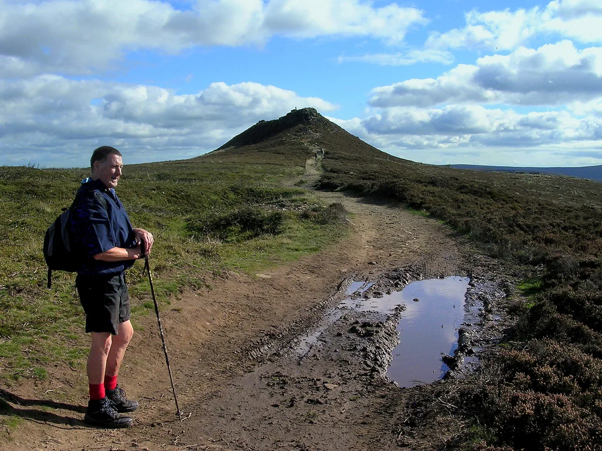
Win Hill
Mountains & hills · 1.4 km

Yorkshire Bridge
Mountains & hills · 1.4 km

Crook Hill
Mountains & hills · 1.4 km

Rivelin Tunnel Sighting Tower
Historic houses · 1.6 km

Bamford Edge
Climbing & bouldering crags · 1.7 km

Bamford Edge
Historic bridges · 1.8 km

Great Tor
Viewpoints · 1.9 km

Pine Marten
Public art & sculpture · 2.1 km
Nearby
📷 3Historic bridges · East Midlands
Ashopton Viaduct
Ashopton Viaduct is a historic bridge in the United Kingdom.
📷 4Memorials & monuments · East Midlands
Derwent Valley Water Board
Derwent Valley Water Board — a memorial in england-east-midlands, United Kingdom.
📷 5Mountains & hills · East Midlands
Ladycrook Hill
Ladycrook Hill — mountain in england east midlands. Elevation: 374 m.
Flagship📷 5Reservoirs & lochs · East Midlands
Ladybower Reservoir
Ladybower Reservoir — reservoir in Derbyshire, England.
📷 3📷 4Mountains & hills · East Midlands
Yorkshire Bridge
Yorkshire Bridge is a small hamlet at grid reference SK200850 near the Ladybower Reservoir dam in the English county of Derbyshire. Administratively the area forms part of the civil parish of Bamford
Where to eat & stay near River Ashop
Places to stay
 📷 5
📷 5Hostels · East Midlands
Homestead
Homestead — a hostel in england east midlands.
📷 5Hostels · East Midlands
Cheesehouse
Cheesehouse — a hostel in england east midlands.
 📷 5
📷 5Campsites · East Midlands
Peak Park Conservation Centre
Peak Park Conservation Centre — a campsite in england east midlands.
 📷 5
📷 5 📷 5
📷 5Campsites · East Midlands
Laneside Caravan Park
Laneside Caravan Park — a campsite in england east midlands.
 📷 5
📷 5Campsites · East Midlands
Swallowholme Camping and Caravaning Park
Swallowholme Camping and Caravaning Park — a campsite in england east midlands.
Places to eat & drink
 📷 5
📷 5Historic pubs · East Midlands
The Old Nags Head
The Old Nags Head in England Yorkshire, United Kingdom.
 📷 7
📷 7Historic pubs · Yorkshire & the Humber
The Fox House
The Fox House in England Yorkshire, United Kingdom.
 📷 5
📷 5Historic pubs · Yorkshire & the Humber
Norfolk Arms Public House
Norfolk Arms Public House in England Yorkshire, United Kingdom.
 📷 7
📷 7Historic pubs · East Midlands
The Three Stags' Heads
The Three Stags' Heads in England South East, United Kingdom.
 📷 5
📷 5Historic pubs · East Midlands
The Chequers Inn and attached outbuildings
The Chequers Inn and attached outbuildings in England East Midlands, United Kingdom.
 📷 5
📷 5Historic pubs · Yorkshire & the Humber
Rose And Crown Public House And Attached Wall
Rose And Crown Public House And Attached Wall in England Yorkshire, United Kingdom.
More museums in this region
 📷 5
📷 5Museums · East Midlands
Stamford Town Hall
Stamford Town Hall — building in Stamford, Lincolnshire, England, UK.
 📷 5
📷 5Museums · East Midlands
Thorney Museum
Thorney Museum — a museum in england-london, United Kingdom.
 📷 5
📷 5Museums · East Midlands
Octavia Hill Birthplace Museum
Octavia Hill Birthplace Museum — a museum in england-london, United Kingdom.
 📷 5
📷 5Museums · East Midlands
Museum of Technology
Museum of Technology — a museum in england-london, United Kingdom.
Frequently asked questions
- Where is River Ashop?
- River Ashop is in Derbyshire, the East Midlands, United Kingdom (postcode S33 0AX), in the parish of Derwent.
- What is River Ashop?
- The River Ashop is a river in the Derbyshire Peak District, England. Its source is on the eastern slopes of Mill Hill, three miles south east of Glossop and just north of Kinder Scout. The river flows
- How do I get to River Ashop?
- The nearest railway station is Hope, about 3.3 km away. Drivers can use postcode S33 0AX.
- Is River Ashop a protected site?
- Yes — River Ashop is part of the Dark Peak SSSI Site of Special Scientific Interest.
- How do I get to River Ashop?
- The nearest railway station is Hope, about 3.3 km away. Drivers can navigate to postcode S33 0AX.