
Natural landmarks · Northern Ireland
Reyfad
In or near Derrygonnelly.
Reyfad in Northern Ireland, United Kingdom.

Wikimedia Commons licence
Plan your visit
- Typical visit
- 1 h–2 h
- Free entry
- Dog-friendly
About
Reyfad is a place of interest in Northern Ireland, United Kingdom — drawn from open-data sources for visitor reference. See the linked Wikipedia article for the full description.
Photo gallery
From the Wikipedia article
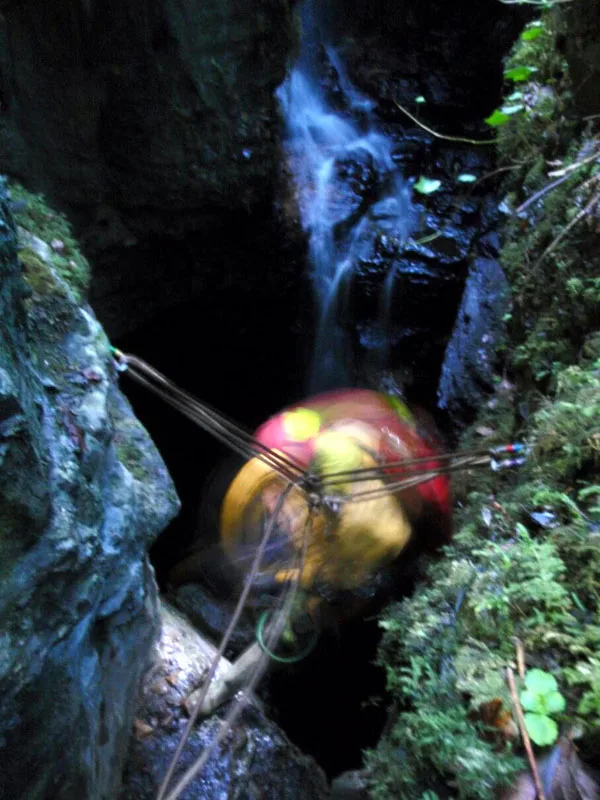
Reyfad (from Irish Ráth Fada 'long fort') is a townland in County Fermanagh, Northern Ireland. It lies in the land division of Old Barr, in the civil parish of Boho. The townland has previously been called Rayfadd - 1659, Raffada (Magheryboy) - 1672 and Ráith Fada "long fort" - 1833. This high plateau is known for its extensive cave system (see Caves of the Tullybrack and Belmore hills) and Neolithic stones. The summit of a nearby hill is known as Tullybrack or Reyfad Mountain (398 metres (1,306 ft)) but it is in fact situated in the townland of Aghamore, County Fermanagh, also within the Boho area.
Excerpt from Wikipedia under CC BY-SA 4.0. See the source article linked in Sources below.
Background
History
Nearby to Tullybrack summit lies Two Dogs (derived from the meaning "the hill of the two hounds"), which was the site of an ancient clan battle, as recorded in the Annals of the Four Masters: <blockquote>A great number of the men of Breifny were disabled and slain by Muinter-Feodachain, on the hill of Odhra, in Sliabh-da-Chon. They lost no less than forty men, together with Conor, the son of Donnell Mac Sweeny, who had gone on that incursion through folly and youth. Some of the men of Dartry, and others of the people of the Clann-Hugh Maguire, were slain there.</blockquote>
Sourced from Wikipedia under CC BY-SA 4.0.
- Coordinates
- 54.3660, -7.8612
- District
- Fermanagh and Omagh
- Postcode
- BT93 6FU
- Parliamentary constituency
- Fermanagh and South Tyrone
Sources
Other places nearby
Reyfad
Mountains & hills · 0.6 km
Tullybrack
Mountains & hills · 0.6 km
Aghamore
Natural landmarks · 0.9 km

Caves of the Tullybrack and Belmore hills
Natural landmarks · 1.3 km

Killydrum
Natural landmarks · 1.6 km

Agharahan
Natural landmarks · 1.7 km
Noon's Hole
Mountains & hills · 1.9 km

Glenkeel
Natural landmarks · 2.1 km

Drumbegger
Natural landmarks · 2.6 km

Aghahoorin
Natural landmarks · 2.7 km

Aghanaglack
Natural landmarks · 2.7 km

Legland
Natural landmarks · 2.9 km
Nearby
Mountains & hills · Northern Ireland
Tullybrack
Tullybrack — mountain in northern ireland. Elevation: 386 m.
📷 3Natural landmarks · Northern Ireland
Caves of the Tullybrack and Belmore hills
Caves of the Tullybrack and Belmore hills in Northern Ireland, United Kingdom.
📷 3📷 4Where to eat & stay near Reyfad
Places to stay
 📷 5
📷 5Caravan parks · Northern Ireland
Rushin House Caravan Park
Rushin House Caravan Park — a caravan park in northern ireland.
 📷 5
📷 5Hotels · Northern Ireland
Lough Erne Golf Resort
Lough Erne Golf Resort — a hotel in northern ireland.
 📷 4
📷 4Caravan parks · Northern Ireland
Riverside Farm, Marina & Caravan Park
Riverside Farm, Marina & Caravan Park — a caravan park in northern ireland.
 📷 5
📷 5 📷 5
📷 5Caravan parks · Northern Ireland
Drumhoney Holiday Park
Drumhoney Holiday Park — a caravan park in northern ireland.
 📷 5
📷 5Hostels · Northern Ireland
Lough Melvin Holiday Centre
Lough Melvin Holiday Centre — a hostel in northern ireland.
More natural landmarks in this region
 Flagship📷 4
Natural landmarks · Northern Ireland
Lough Erne
Lough Erne — lake in County Fermanagh, Northern Ireland, UK.
 Flagship📷 4
Natural landmarks · Northern Ireland
Lough Neagh
Lough Neagh — large lake in Northern Ireland.
 📷 3
📷 3Natural landmarks · Northern Ireland
Ballysaggart Lough
Ballysaggart Lough — lake in the United Kingdom.
 📷 5
📷 5Natural landmarks · Northern Ireland
Belmore Mountain
Belmore Mountain — mountain in the United Kingdom.
Frequently asked questions
- Where is Reyfad?
- Reyfad is in Northern Ireland, United Kingdom (postcode BT93 6FU).
- What is Reyfad?
- Reyfad in Northern Ireland, United Kingdom.
- How do I get to Reyfad?
- Drivers can use postcode BT93 6FU.
- Is Reyfad free to visit?
- Yes, Reyfad is free to enter.
- How do I get to Reyfad?
- Drivers can navigate to postcode BT93 6FU. It sits within the Fermanagh and South Tyrone parliamentary constituency.