
Natural landmarks · Northern Ireland
Agharahan
In or near Derrygonnelly.
Agharahan in Northern Ireland, United Kingdom.

Kenneth Allen — CC BY-SA 2.0 via Wikimedia Commons licence

Plan your visit
- Typical visit
- 1 h–2 h
- Free entry
- Dog-friendly
About
Agharahan is a place of interest in Northern Ireland, United Kingdom — drawn from open-data sources for visitor reference. See the linked Wikipedia article for the full description.
Photo gallery
From the Wikipedia article
Agharahan (from Irish Achadh Rathain 'field of the ferns') is a townland in the land division of Old Barr in the parish of Devenish in the historical barony of Magheraboy, Northern Ireland. It has an area of 746,831 m² / 74.68 hectares /0.29 square miles/184.55 acres / 184 acres. The townland runs from the high plateau in the Knockmore Scarpland at 766 ft down to the lowlands at 177 ft above sea level and is between the townlands of Old-Barr to the west, Killydrum to the south, Aghakeeran to the north, Drumbegger to the east and Lattonagh to the south. Agharahan is in the civil parish of Devenish but was previously associated with the civil parish of Boho, County Fermanagh. Agharahan, containing the sub-townland of Pollanaffrin, is notable for Noon's Hole/Arch Cave system and numerous other sink holes (swallow holes). On the same level as Noon's Hole, but further behind the Arch Cave, is another pot hole known as Pollanafrin which is approximately 10 meters deep. This can be seen marked on the map of Griffiths valuation of Ireland 1870.
Excerpt from Wikipedia under CC BY-SA 4.0. See the source article linked in Sources below.
- Coordinates
- 54.3811, -7.8541
- District
- Fermanagh and Omagh
- Postcode
- BT93 6FS
- Parliamentary constituency
- Fermanagh and South Tyrone
Sources
Other places nearby
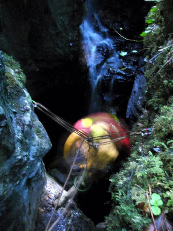
Noon's Hole
Mountains & hills · 0.2 km

Caves of the Tullybrack and Belmore hills
Natural landmarks · 0.5 km

Killydrum
Natural landmarks · 0.9 km

Aghakeeran
Natural landmarks · 1.2 km

Drumbegger
Natural landmarks · 1.4 km

Reyfad
Natural landmarks · 1.7 km

Legland
Natural landmarks · 1.8 km
Reyfad
Mountains & hills · 2.3 km
Tullybrack
Mountains & hills · 2.3 km
Aghamore
Natural landmarks · 2.4 km

Glenkeel
Natural landmarks · 2.4 km

Knockmore
Natural landmarks · 2.4 km
Nearby
📷 3📷 3Natural landmarks · Northern Ireland
Caves of the Tullybrack and Belmore hills
Caves of the Tullybrack and Belmore hills in Northern Ireland, United Kingdom.
📷 3📷 2📷 4📷 3Where to eat & stay near Agharahan
Places to stay
 📷 5
📷 5Caravan parks · Northern Ireland
Rushin House Caravan Park
Rushin House Caravan Park — a caravan park in northern ireland.
 📷 5
📷 5Hotels · Northern Ireland
Lough Erne Golf Resort
Lough Erne Golf Resort — a hotel in northern ireland.
 📷 5
📷 5 📷 5
📷 5Caravan parks · Northern Ireland
Drumhoney Holiday Park
Drumhoney Holiday Park — a caravan park in northern ireland.
 📷 4
📷 4Caravan parks · Northern Ireland
Riverside Farm, Marina & Caravan Park
Riverside Farm, Marina & Caravan Park — a caravan park in northern ireland.
 📷 5
📷 5Caravan parks · Northern Ireland
Clareview Caravan Park
Clareview Caravan Park — a caravan park in northern ireland.
More natural landmarks in this region
 Flagship📷 4
Natural landmarks · Northern Ireland
Lough Erne
Lough Erne — lake in County Fermanagh, Northern Ireland, UK.
 Flagship📷 4
Natural landmarks · Northern Ireland
Lough Neagh
Lough Neagh — large lake in Northern Ireland.
 📷 3
📷 3Natural landmarks · Northern Ireland
Ballysaggart Lough
Ballysaggart Lough — lake in the United Kingdom.
 📷 5
📷 5Natural landmarks · Northern Ireland
Belmore Mountain
Belmore Mountain — mountain in the United Kingdom.
Frequently asked questions
- Where is Agharahan?
- Agharahan is in Northern Ireland, United Kingdom (postcode BT93 6FS).
- What is Agharahan?
- Agharahan in Northern Ireland, United Kingdom.
- How do I get to Agharahan?
- Drivers can use postcode BT93 6FS.
- Is Agharahan free to visit?
- Yes, Agharahan is free to enter.
- How do I get to Agharahan?
- Drivers can navigate to postcode BT93 6FS. It sits within the Fermanagh and South Tyrone parliamentary constituency.