
Natural landmarks · Northern Ireland
Caves of the Tullybrack and Belmore hills
In or near Derrygonnelly.
Caves of the Tullybrack and Belmore hills in Northern Ireland, United Kingdom.

Wikimedia Commons licence
Plan your visit
- Typical visit
- 1 h–2 h
- Free entry
- Dog-friendly
About
Caves of the Tullybrack and Belmore hills is a place of interest in Northern Ireland, United Kingdom — drawn from open-data sources for visitor reference. See the linked Wikipedia article for the full description.
Photo gallery
From the Wikipedia article
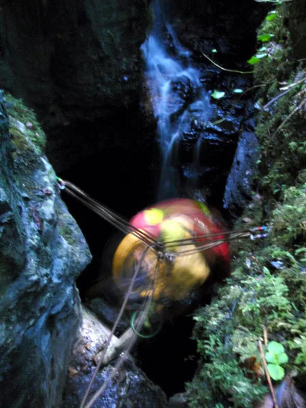
The Caves of the Tullybrack and Belmore hills are a collection of caves in southwest County Fermanagh, Northern Ireland. The region is also described as the West Fermanagh Scarplands by environmental agencies and shares many similar karst features with the nearby Marble Arch Caves Global Geopark. The caves are situated under the hills of Tullybrack (386 m (1,266 ft)) – which incorporates Glenkeel (373 m (1,224 ft)) and Knockmore (280 m (920 ft)) – and Belmore (398 m (1,306 ft)), and feature three major cave systems: Reyfad–Glenkeel, Noon's Hole–Arch Cave and Boho Caves. They have been described as nationally significant by the Northern Ireland Environment Agency. The caves and related features are formed predominantly in the Dartry Limestone Formation – a sequence of rocks assigned to the Asbian sub-stage of the Visean stage of the Carboniferous period. Within this formation, the Knockmore Limestone Member is also an important cave-forming rock sequence. Cave development occurred within the Quaternary period and certain features are ascribed to the Holocene epoch of the last 10,000 years. With the exception of Arch Cave, all of the caves and related karstic features listed below have been designated as provisional Areas of Special Scientific Interest (provisional ASSIs, or PASSIs), a conservation designation in Northern Ireland equivalent to SSSIs in other parts of the United Kingdom.
Excerpt from Wikipedia under CC BY-SA 4.0. See the source article linked in Sources below.
- Coordinates
- 54.3774, -7.8593
- District
- Fermanagh and Omagh
- Postcode
- BT93 6FU
- Parliamentary constituency
- Fermanagh and South Tyrone
Sources
- wikidata: Q5055113 (CC0)
- wikipedia: Caves of the Tullybrack and Belmore hills (CC BY-SA 4.0)
Other places nearby

Agharahan
Natural landmarks · 0.5 km
Noon's Hole
Mountains & hills · 0.7 km

Killydrum
Natural landmarks · 1.0 km

Reyfad
Natural landmarks · 1.3 km

Aghakeeran
Natural landmarks · 1.8 km

Drumbegger
Natural landmarks · 1.8 km

Legland
Natural landmarks · 1.8 km
Reyfad
Mountains & hills · 1.9 km
Tullybrack
Mountains & hills · 1.9 km

Glenkeel
Natural landmarks · 2.0 km
Aghamore
Natural landmarks · 2.0 km

Devenish
Natural landmarks · 2.6 km
Nearby
📷 4📷 3📷 3📷 3📷 2📷 4Where to eat & stay near Caves of the Tullybrack and Belmore hills
Places to stay
 📷 5
📷 5Caravan parks · Northern Ireland
Rushin House Caravan Park
Rushin House Caravan Park — a caravan park in northern ireland.
 📷 5
📷 5Hotels · Northern Ireland
Lough Erne Golf Resort
Lough Erne Golf Resort — a hotel in northern ireland.
 📷 5
📷 5 📷 5
📷 5Caravan parks · Northern Ireland
Drumhoney Holiday Park
Drumhoney Holiday Park — a caravan park in northern ireland.
 📷 4
📷 4Caravan parks · Northern Ireland
Riverside Farm, Marina & Caravan Park
Riverside Farm, Marina & Caravan Park — a caravan park in northern ireland.
 📷 5
📷 5Caravan parks · Northern Ireland
Clareview Caravan Park
Clareview Caravan Park — a caravan park in northern ireland.
More natural landmarks in this region
 Flagship📷 4
Natural landmarks · Northern Ireland
Lough Erne
Lough Erne — lake in County Fermanagh, Northern Ireland, UK.
 Flagship📷 4
Natural landmarks · Northern Ireland
Lough Neagh
Lough Neagh — large lake in Northern Ireland.
 📷 3
📷 3Natural landmarks · Northern Ireland
Ballysaggart Lough
Ballysaggart Lough — lake in the United Kingdom.
 📷 5
📷 5Natural landmarks · Northern Ireland
Belmore Mountain
Belmore Mountain — mountain in the United Kingdom.
Frequently asked questions
- Where is Caves of the Tullybrack and Belmore hills?
- Caves of the Tullybrack and Belmore hills is in Northern Ireland, United Kingdom (postcode BT93 6FU).
- What is Caves of the Tullybrack and Belmore hills?
- Caves of the Tullybrack and Belmore hills in Northern Ireland, United Kingdom.
- How do I get to Caves of the Tullybrack and Belmore hills?
- Drivers can use postcode BT93 6FU.
- Is Caves of the Tullybrack and Belmore hills free to visit?
- Yes, Caves of the Tullybrack and Belmore hills is free to enter.
- How do I get to Caves of the Tullybrack and Belmore hills?
- Drivers can navigate to postcode BT93 6FU. It sits within the Fermanagh and South Tyrone parliamentary constituency.