
Hill forts · East Midlands
Ratae Corieltauvorum
In or near Leicester.
Ratae Corieltauvorum — former Roman town on the site of Leicester.

Wikimedia Commons contributors — see linked file page for photographer and licence licence

Plan your visit
- Typical visit
- 1 h–2 h
- Nearest railway station
- Leicester · 1.2 km
- Free entry
- Family-friendly
- Dog-friendly
- Wheelchair accessible
About
Ratae Corieltauvorum is a hill fort in the United Kingdom. Wikidata describes it as: "former Roman town on the site of Leicester". Coordinates: 52.6349°, -1.1413°.
Photo gallery
See it from the streetimagery from 2021
Imagery © Mapillary contributors, CC BY-SA 4.0
From the Wikipedia article
Ratae Corieltauvorum or simply Ratae was a town in the Roman province of Britannia. Today it is known as Leicester, located in the English county of Leicestershire.
Excerpt from Wikipedia under CC BY-SA 4.0. See the source article linked in Sources below.
Background
History
After the Romans invaded Britain in the 1st century, they quickly established control over the southeast corner of the island, but for at least a couple of decades they did not advance north and west in an attempt to subdue the rest of the island. Two legionary fortresses were established; one at Isca (Exeter) in the southwest corner of the territory and the other at Lindum (Lincoln) in the northeast. A road, now known as the Fosse Way, was then established between the two to help control the border. The Fosse Way crossed the Soar close to the site of the British settlement. One of the enigmas of Ratae's early development was whether or not there was ever a garrison stationed in the…
Sourced from Wikipedia under CC BY-SA 4.0.
- Coordinates
- 52.6349, -1.1413
- District
- Leicester
- Parish
- Leicester, unparished area
- Postcode
- LE1 4LB
- Parliamentary constituency
- Leicester West
- Nearest railway station
- Leicester — 1.2 km
- Official site
- www.gurunanakgurdwara.org.uk
Sources
- wikidata: Q2132332 (CC0)
- wikipedia: Ratae Corieltauvorum (CC BY-SA 4.0)
- commons: Roman baths - geograph.org.uk - 1020025.jpg (CC BY-SA 4.0)
Other places nearby
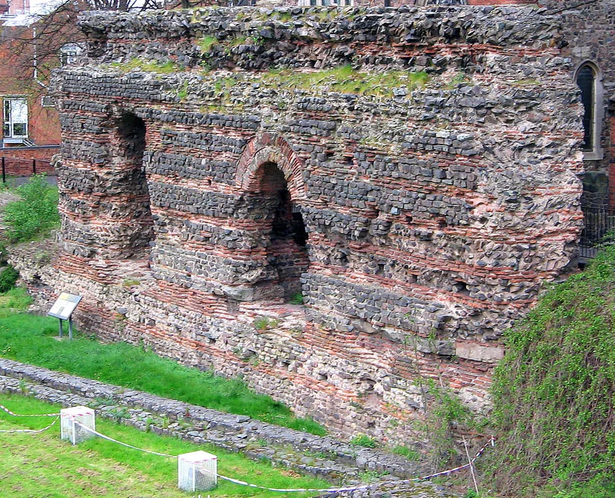
Jewry Wall
Holy wells · 0.0 km
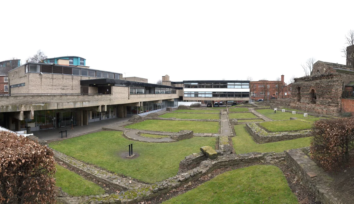
Jewry Wall Museum
Museums · 0.0 km
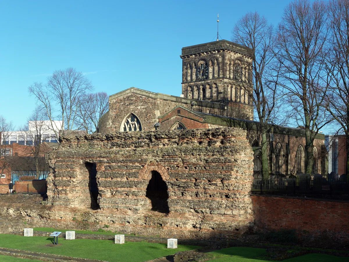
St Nicholas' Church, Leicester
Historic churches · 0.0 km

Hamidiye Camii
Historic churches · 0.1 km

The High Cross
Memorials & monuments · 0.2 km

Wyggeston House
Historic houses · 0.2 km

Mary Hehir
Memorials & monuments · 0.2 km

West Bridge Mills
Historic bridges · 0.2 km

Alderman Newton's School
Natural landmarks · 0.2 km

Leicester Guildhall
Historic houses · 0.2 km

Peter Miller
Memorials & monuments · 0.3 km

Highcross Beacons
Public art & sculpture · 0.3 km
Nearby
📷 3Holy wells · East Midlands
Jewry Wall
Jewry Wall — Grade I listed structure in Leicester, England, UK.
📷 4Museums · East Midlands
Jewry Wall Museum
Jewry Wall Museum — museum in Leicester, England, United Kingdom.
📷 5Historic churches · East Midlands
St Nicholas' Church, Leicester
St Nicholas' Church, Leicester — Grade I listed church in Leicester, United Kingdom.
📷 5Historic churches · East Midlands
Hamidiye Camii
Hamidiye Camii — a church in england-west-midlands, United Kingdom.
📷 3Memorials & monuments · East Midlands
The High Cross
The High Cross — a memorial in england-west-midlands, United Kingdom.
📷 3Historic houses · East Midlands
Wyggeston House
Wyggeston House — house in City of Leicester, Leicestershire, England, UK.
Where to eat & stay near Ratae Corieltauvorum
Places to stay
 📷 7
📷 7Hotels · East Midlands
Holiday Inn Express
Holiday Inn Express — a hotel in england west midlands. 3-star. Brand: Holiday Inn Express.
 📷 5
📷 5Hotels · East Midlands
Winstanley House
Winstanley House — a hotel in england west midlands.
 📷 5
📷 5Caravan parks · East Midlands
Unicorn Mobile Home Park
Unicorn Mobile Home Park — a caravan park in england west midlands.
 📷 5
📷 5Caravan parks · East Midlands
Inglenook Park (Mobile Home Park)
Inglenook Park (Mobile Home Park) — a caravan park in england west midlands.
 📷 5
📷 5Hotels · East Midlands
Blaby Westfield Hotel
Blaby Westfield Hotel — a hotel in england west midlands.
 📷 5
📷 5Caravan parks · East Midlands
Cropston Caravan Site
Cropston Caravan Site — a caravan park in england west midlands.
Places to eat & drink
 📷 5
📷 5 📷 5
📷 5Historic pubs · East Midlands
Market Tavern
Market Tavern in England East Midlands, United Kingdom.
 📷 5
📷 5Restaurants · East Midlands
Peter Pizzeria
Peter Pizzeria — a restaurant in england west midlands. Cuisine: sandwich;pizza.
 📷 5
📷 5Restaurants · East Midlands
Pepe's Piri Piri
Pepe's Piri Piri — a restaurant in england west midlands. Cuisine: burger;sandwich;indian;asian;chicken;ice cream. 5-star.
 📷 7
📷 7Historic pubs · East Midlands
Rothley Court
Rothley Court in England East Midlands, United Kingdom.
 📷 5
📷 5Historic pubs · East Midlands
Narborough Arms
Narborough Arms in England East Midlands, United Kingdom.
More places in this region
 📷 3
📷 3Hill forts · East Midlands
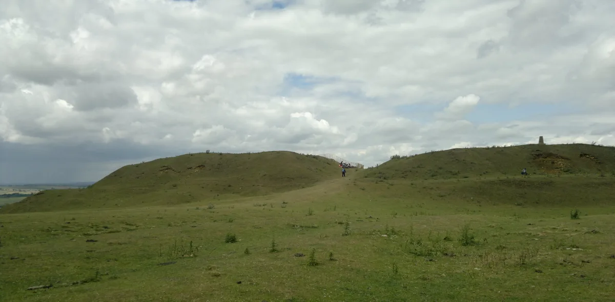
Burrough Hill
Burrough Hill — Iron Age hill fort in Leicestershire, England, UK.
 📷 5
📷 5Hill forts · East Midlands
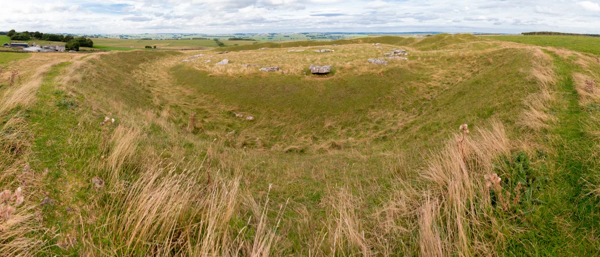
Arbor Low
Arbor Low — Neolithic henge monument.
 📷 5
📷 5Hill forts · East Midlands
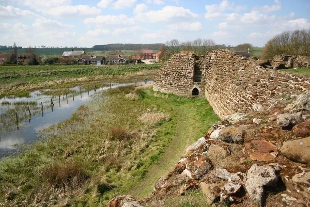
Bolingbroke Castle
Bolingbroke Castle — castle in Bolingbroke, England.
 📷 3
📷 3Hill forts · East Midlands
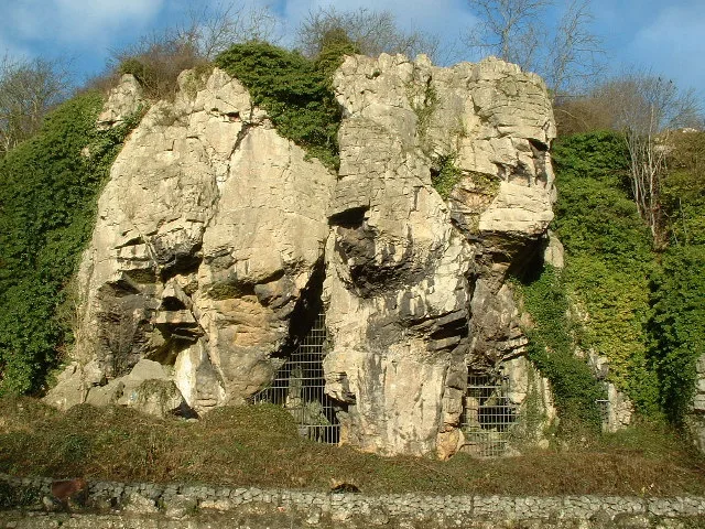
Creswell Crags
Creswell Crags — limestone gorge on the border between Derbyshire and Nottinghamshire, England.
Frequently asked questions
- Where is Ratae Corieltauvorum?
- Ratae Corieltauvorum is in the West Midlands, United Kingdom (postcode LE1 4LB), in the parish of Leicester, unparished area.
- What is Ratae Corieltauvorum?
- Ratae Corieltauvorum — former Roman town on the site of Leicester.
- How do I get to Ratae Corieltauvorum?
- The nearest railway station is Leicester, about 1.2 km away. Drivers can use postcode LE1 4LB.
- Is Ratae Corieltauvorum free to visit?
- Yes, Ratae Corieltauvorum is free to enter.
- How do I get to Ratae Corieltauvorum?
- The nearest railway station is Leicester, about 1.2 km away. Drivers can navigate to postcode LE1 4LB.