
Hill forts · East Midlands
Arbor Low
In or near Hartington.
Arbor Low — Neolithic henge monument.

Wikimedia Commons contributors — see linked file page for photographer and licence licence

Plan your visit
- Typical visit
- 1 h–2 h
- Free entry
- Dog-friendly
About
Arbor Low is a hill fort in the United Kingdom. Heritage designation: scheduled monument. Wikidata describes it as: "Neolithic henge monument". Coordinates: 53.1680°, -1.7622°.
Photo gallery
Official information
Arbor Low is a significant prehistoric site in the East Midlands, featuring a Neolithic henge monument surrounded by a circle of fallen limestone slabs. Visitors can explore the stone circle and the nearby Gib Hill burial mound, both of which are steeped in history.
Protected designations
- National Nature Reserve: DERBYSHIRE DALES
Designations sourced from Natural England open data under OGL v3.
From the Wikipedia article
Arbor Low is a well-preserved Neolithic henge in the Derbyshire Peak District, England. It lies on a Carboniferous Limestone plateau known as the White Peak area. The monument consists of a stone circle surrounded by earthworks and a ditch.
Excerpt from Wikipedia under CC BY-SA 4.0. See the source article linked in Sources below.
Background
Architecture
The bank and ditch of the henge, as well as its two entrances, were probably established in the Late Neolithic period, with the stones added later, sometime before 2000 BCE. The site seems to have been in use until the Bronze Age, when the outer bank was reconstructed so that the round barrow could be erected. Both the earthworks and the stoneworks are probably later than the nearby Gib Hill.
Description
The monument includes about 50 large limestone blocks, quarried from a local site, which form an egg-shaped circle. There were probably 41–43 stones originally, but some are now in fragments. In the centre of the circle lie at least six smaller blocks known as the cove, originally believed to have been set in a rectangle. The stones are surrounded by an earth bank, approximately 90 by at the outside edges and 2 m high, with an interior ditch about 2 metres deep and 7 to wide. There are two causeway entrances breaching both the bank and ditch; a north-west entrance 9 m wide, and a south-east entrance 6 m wide. The inner bank encloses an area of 52 by. Few henge monuments in the British Isles…
Sourced from Wikipedia under CC BY-SA 4.0.
- Coordinates
- 53.1680, -1.7622
- County
- Derbyshire
- District
- Derbyshire Dales
- Parish
- Hartington Town Quarter
- Postcode
- SK17 0BB
- Parliamentary constituency
- Derbyshire Dales
- Opening
- Open any reasonable time during daylight hours; closed 24–26 Dec
- Official site
- www.english-heritage.org.uk
Sources
- wikidata: Q630312 (CC0)
- wikipedia: Arbor Low (CC BY-SA 4.0)
- commons: Arbor Low henge, Derbyshire-Pano.jpg (CC BY-SA 4.0)
Other places nearby
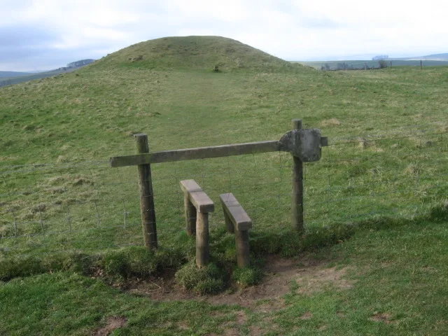
Gib Hill
Hill forts · 0.2 km

Newhaven Lodge Farm Caravan Site
Caravan parks · 1.0 km

Water Icicle Close Cavern
Caves · 1.1 km

Peak View Caravan Site
Caravan parks · 1.3 km

Parsley Hay
Natural landmarks · 1.4 km

Medieval settlement on the north western slopes of Cales Dale, 490m north west of Cales Farm
Vineyards · 1.5 km

Lean Low
Mountains & hills · 1.6 km
Lean Low
Mountains & hills · 1.6 km

Brundcliffe Farm
Caravan parks · 1.9 km

Limey Way
Military museums · 2.3 km

Cales Dale Cave (lower)
Caves · 2.4 km

Lathkill, Garden Path Entrance
Caves · 2.6 km
Nearby
📷 3Hill forts · East Midlands
Gib Hill
Gib Hill — barrow in Middleton and Smerrill, Derbyshire Dales, Derbyshire, England, UK.
📷 5Caravan parks · East Midlands
Newhaven Lodge Farm Caravan Site
Newhaven Lodge Farm Caravan Site — a caravan park in england east midlands.
📷 5Caves · East Midlands
Water Icicle Close Cavern
Water Icicle Close Cavern — a cave broad in england-east-midlands, United Kingdom.
📷 5Caravan parks · East Midlands
Peak View Caravan Site
Peak View Caravan Site — a caravan park in england east midlands.
📷 3Natural landmarks · East Midlands
Parsley Hay
Parsley Hay — a other in england-east-midlands, United Kingdom.
📷 5Vineyards · East Midlands
Medieval settlement on the north western slopes of Cales Dale, 490m north west of Cales Farm
Medieval settlement on the north western slopes of Cales Dale, 490m north west of Cales Farm — a UK vineyard in england east midlands, producing English or Welsh wine from cool-climate grape varieties.
Where to eat & stay near Arbor Low
Places to stay
📷 5Caravan parks · East Midlands
Newhaven Lodge Farm Caravan Site
Newhaven Lodge Farm Caravan Site — a caravan park in england east midlands.
📷 5Caravan parks · East Midlands
Peak View Caravan Site
Peak View Caravan Site — a caravan park in england east midlands.
📷 5Caravan parks · East Midlands
Brundcliffe Farm
Brundcliffe Farm — a caravan park in england east midlands.
 📷 5
📷 5B&Bs · East Midlands
Cotesfield Farm
Cotesfield Farm — a bed-and-breakfast in england east midlands.
 📷 5
📷 5Campsites · East Midlands
Haddon Grove Farm caravan and campsite
Haddon Grove Farm caravan and campsite — a campsite in england east midlands.
 📷 5
📷 5Campsites · East Midlands
Lathkill Dale Campsite
Lathkill Dale Campsite — a campsite in england east midlands.
Places to eat & drink
 📷 5
📷 5Historic pubs · East Midlands
The Square House
The Square House in England West Midlands, United Kingdom.
 📷 5
📷 5Historic pubs · East Midlands
Duke of York Inn
Duke of York Inn in England East Midlands, United Kingdom.
 📷 3
📷 3Historic pubs · East Midlands
Bull's Head Inn
Bull's Head Inn — Historic pub — listed building or notable heritage status.
 📷 5
📷 5 📷 5
📷 5 📷 7
📷 7Historic pubs · East Midlands
The Peacock Hotel
The Peacock Hotel in England East Midlands, United Kingdom.
More places in this region
 📷 3
📷 3Hill forts · East Midlands
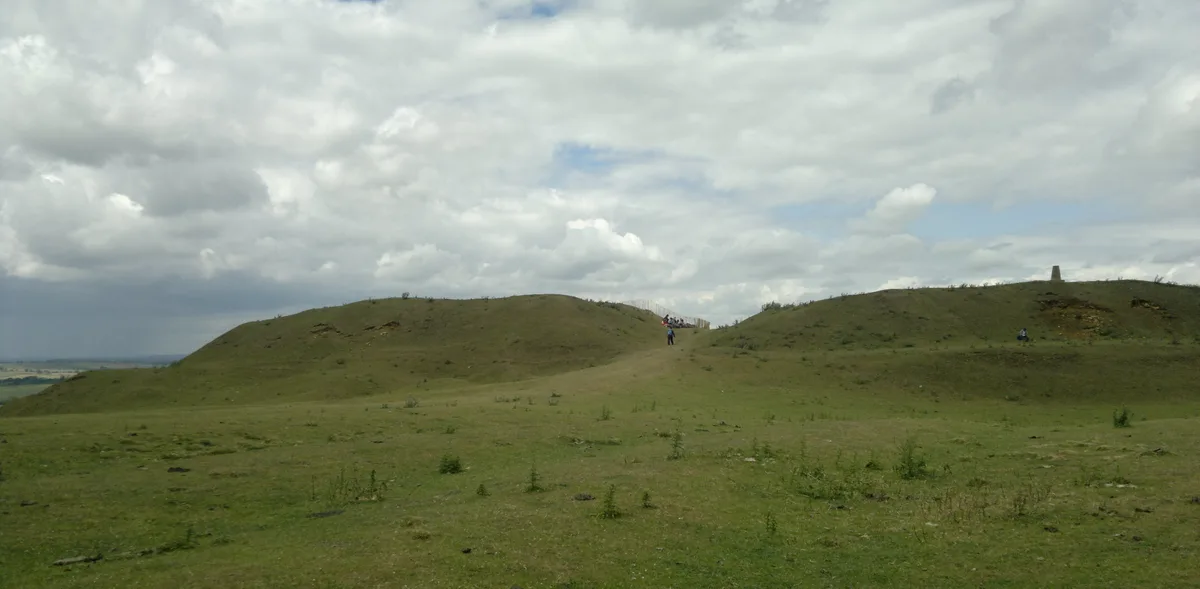
Burrough Hill
Burrough Hill — Iron Age hill fort in Leicestershire, England, UK.
 📷 5
📷 5Hill forts · East Midlands
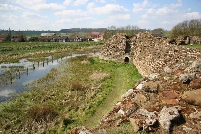
Bolingbroke Castle
Bolingbroke Castle — castle in Bolingbroke, England.
 📷 3
📷 3Hill forts · East Midlands
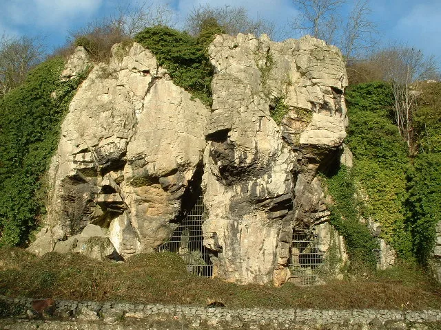
Creswell Crags
Creswell Crags — limestone gorge on the border between Derbyshire and Nottinghamshire, England.
 📷 3
📷 3Hill forts · East Midlands
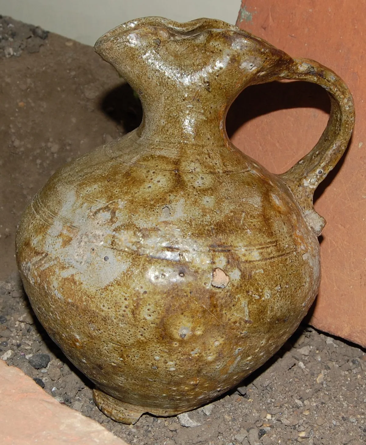
Derby Racecourse Roman settlement
Derby Racecourse Roman settlement — archaeological site in United Kingdom.
Frequently asked questions
- Where is Arbor Low?
- Arbor Low is in Derbyshire, the East Midlands, United Kingdom (postcode SK17 0BB), in the parish of Hartington Town Quarter.
- What is Arbor Low?
- Arbor Low — Neolithic henge monument.
- How do I get to Arbor Low?
- Drivers can use postcode SK17 0BB.
- Is Arbor Low a listed building?
- Arbor Low is officially recognised as scheduled monument listed.
- Is Arbor Low a protected site?
- Yes — Arbor Low is part of the DERBYSHIRE DALES National Nature Reserve.
- Is Arbor Low free to visit?
- Yes, Arbor Low is free to enter.
- How do I get to Arbor Low?
- Drivers can navigate to postcode SK17 0BB. It sits within the Derbyshire Dales parliamentary constituency.