
Wildlife reserves · Scottish Highlands
Rannoch Moor
Also known as: Mòinteach Raineach
Rannoch Moor in Scotland Islands, United Kingdom.

John Ferguson — CC BY-SA 2.0 via Wikimedia Commons licence

Plan your visit
- Typical visit
- 2 h–4 h
- Best time of year
- Autumn & winter (migration & wildfowl)
- Nearest railway station
- Rannoch · 9.2 km
- Free entry
- Dog-friendly
Getting there & planning your visit
To visit Rannoch Moor, the nearest railway station is Rannoch, located 9.2 km away. Entry to the reserve is free. Please note that accessibility details are not provided.
About
Rannoch Moor is a place of interest in Scotland Islands, United Kingdom — drawn from open-data sources for visitor reference. See the linked Wikipedia article for the full description.
Photo gallery
From the Wikipedia article
Rannoch Moor ( ; Scottish Gaelic: Mòinteach Rai(th)neach) is an expanse of around 50 square miles (130 km2) of boggy moorland to the west of Loch Rannoch in Scotland, from where it extends into westerly Perth and Kinross, northerly Lochaber (in Highland), and the area of Highland Scotland toward its south-west, northern Argyll and Bute. Rannoch Moor is designated a Site of Special Scientific Interest (SSSI) and a Special Area of Conservation. Much of the western part of the moor lies within the Ben Nevis and Glen Coe National Scenic Area, one of 40 such areas in Scotland. It is notable for its wildlife, and is particularly famous as being the sole British location for the Rannoch-rush, named after the moor. It was frequently visited by Horace Donisthorpe, who collected many unusual species of ants on the moor and surrounding hilly ground. Today it is still one of the few remaining habitats for Formica exsecta, the "narrow-headed ant", although recent surveys have failed to produce any sign of Formica pratensis, which Donisthorpe recorded in the area in the early part of the 20th century.
Excerpt from Wikipedia under CC BY-SA 4.0. See the source article linked in Sources below.
Background
Visiting
The A82 road crosses western Rannoch Moor on its way to Glen Coe and Fort William, and the West Highland Line also crosses the moor. Peat deposits posed major difficulties to builders of roads and railways. When the West Highland Line was being built, its builders had to float the tracks on a mattress of tree roots, brushwood and thousands of tons of earth and ashes. Corrour railway station, the UK's highest, and one of its most remote being 10 mi from the nearest public road, is located on this section of the line at 1339 ft. The line takes gentle curves totalling 23 mi across the moorland. The desolate and isolated Gorton was a private railway station built near Meall a Ghortain which…
Sourced from Wikipedia under CC BY-SA 4.0.
- Coordinates
- 56.6280, -4.6850
- Address
- West of Loch Rannoch, Scotland, UK
- Nearest railway station
- Rannoch — 9.2 km
- Opening
- | status =
Sources
- wikidata: Q1773123 (CC0)
- wikipedia: Rannoch Moor (CC BY-SA 4.0)
Featured in this guide
Other places nearby

Leathad Mor
Mountains & hills · 2.5 km
Leathad Mòr
Mountains & hills · 2.6 km

Tigh na Cruaiche
Villages · 2.7 km
Loch Laidon
Lakes · 2.7 km
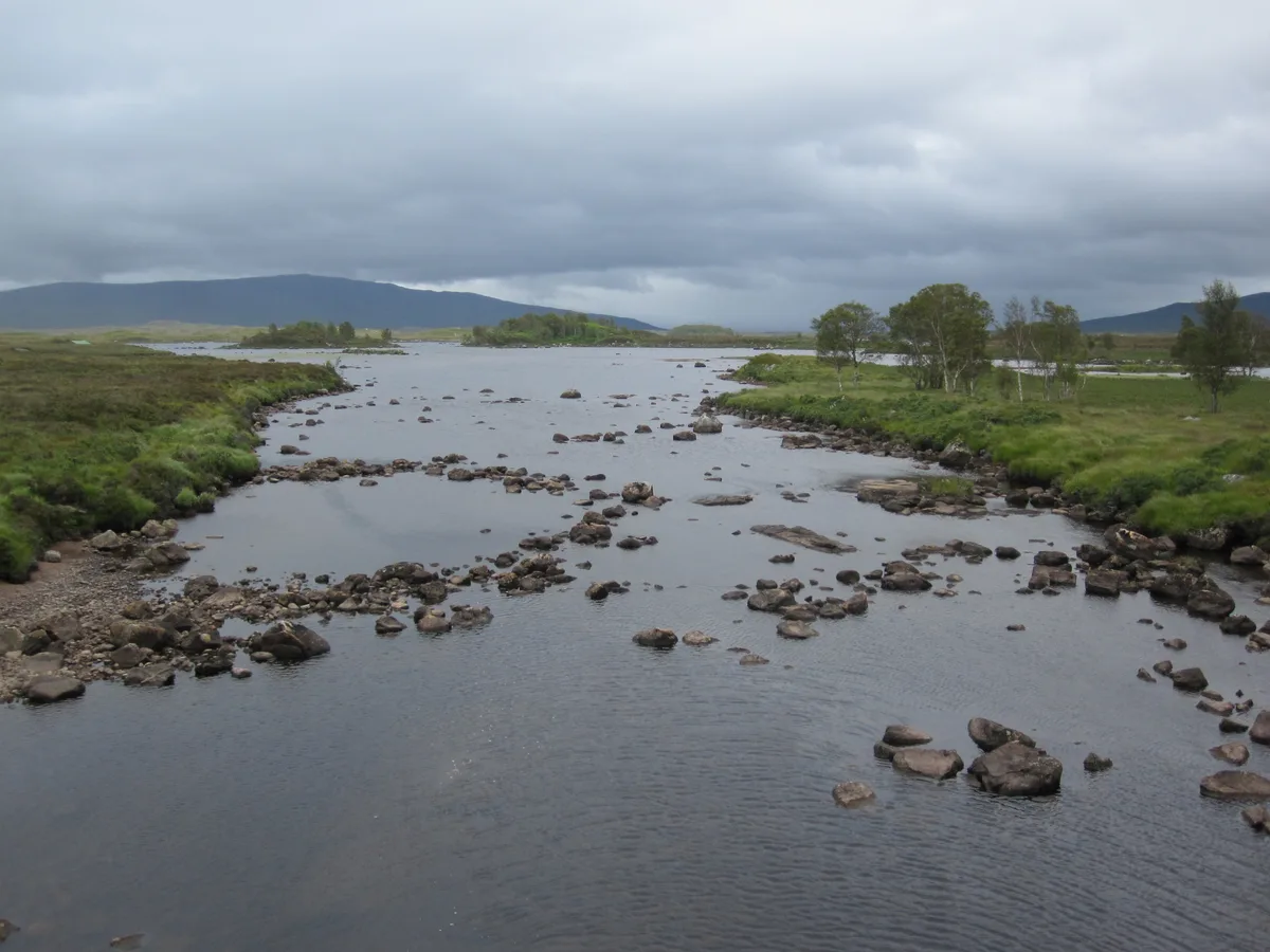
Loch Bà
Natural landmarks · 3.3 km

Meall a' Ghortain
Mountains & hills · 3.5 km
Meall a' Ghortain
Mountains & hills · 3.5 km

Loch Ba
Lakes · 3.9 km

Lochan Beinn Chaorach
Lakes · 4.2 km
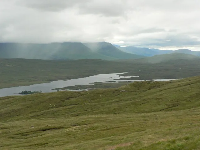
Loch Laidon
Natural landmarks · 4.5 km

Glas Bheinn
Mountains & hills · 5.0 km
Glas Bheinn
Mountains & hills · 5.1 km
Nearby
📷 5Mountains & hills · Scottish Highlands
Leathad Mor
Leathad Mor — a hill or mountain in scotland highlands.
📷 5Mountains & hills · Scottish Highlands
Leathad Mòr
Leathad Mòr — mountain in scotland highlands. Elevation: 547 m.
📷 5📷 5📷 5Natural landmarks · Scottish Highlands
Loch Bà
Loch Bà — lake in Highland, Scotland, UK, on the River Bà.
📷 5Mountains & hills · Scottish Highlands
Meall a' Ghortain
Meall a' Ghortain — a hill or mountain in scotland highlands.
Where to eat & stay near Rannoch Moor
Places to stay
 📷 5
📷 5Campsites · Scottish Highlands
Glencoe Mountain Resort
Glencoe Mountain Resort — a campsite in scotland highlands.
 📷 5
📷 5Hostels · Central Scotland
West Highland Way Sleeper
West Highland Way Sleeper — a hostel in scotland highlands.
 📷 5
📷 5 📷 5
📷 5Hostels · Scottish Highlands
Loch Ossian Youth Hostel
Loch Ossian Youth Hostel — a hostel in scotland highlands.
 📷 5
📷 5Campsites · Scottish Highlands
Blackwater Campsite
Blackwater Campsite — a campsite in scotland highlands.
 📷 5
📷 5Hostels · Scottish Highlands
West Highland Lodge
West Highland Lodge — a hostel in scotland highlands.
Places to eat & drink
 📷 4
📷 4Historic pubs · Scottish Highlands
Clachaig Inn
Clachaig Inn in Scotland Islands, United Kingdom.
More places in this region
 📷 3
📷 3Wildlife reserves · Scottish Highlands
Dinnet Oakwood Special Area of Conservation
Dinnet Oakwood Special Area of Conservation — Special Area of Conservation in Aberdeenshire, Scotland, UK.
 Flagship📷 5
Wildlife reserves · Scottish Highlands
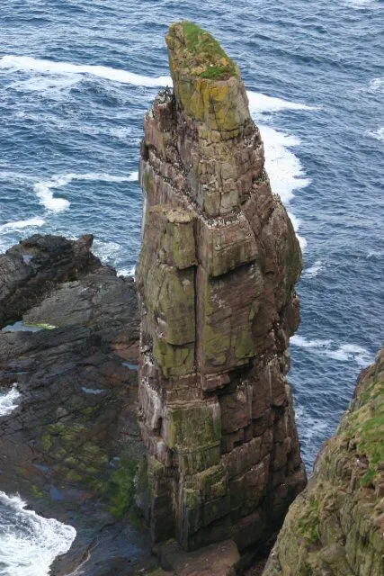
Handa Island
Handa Island — island off the west coast of Sutherland, Scotland.
 📷 3
📷 3Wildlife reserves · Scottish Highlands
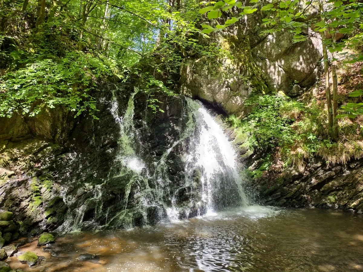
Fairy Glen, Rosemarkie
Fairy Glen, Rosemarkie — RSPB reserve in Scotland.
 📷 3
📷 3Wildlife reserves · Scottish Highlands
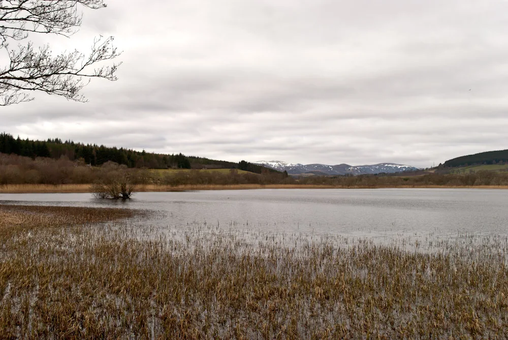
Loch Achnacloich
Loch Achnacloich — lake in Highland, Scotland, UK, on and outflowsing east to Burn of Achnacloich.
Frequently asked questions
- Where is Rannoch Moor?
- Rannoch Moor is in the Scottish Highlands, United Kingdom.
- What is Rannoch Moor?
- Rannoch Moor in Scotland Islands, United Kingdom.
- How do I get to Rannoch Moor?
- The nearest railway station is Rannoch, about 9.2 km away. Its coordinates are 56.6280°, -4.6850°.
- Who owns Rannoch Moor?
- Rannoch Moor is owned by | administrator =.
- Is Rannoch Moor free to visit?
- Yes, Rannoch Moor is free to enter.
- Are dogs allowed at Rannoch Moor?
- Most wildlife reserves allow dogs on lead only, with restrictions during ground-nesting bird season (March-July). Check signage at the reserve.