
Wildlife reserves · Scottish Highlands
Handa Island
Handa Island — island off the west coast of Sutherland, Scotland.

Wikimedia Commons contributors — see linked file page for photographer and licence licence

Plan your visit
- Typical visit
- 2 h–4 h
- Best time of year
- Autumn & winter (migration & wildfowl)
- Free entry
- Family-friendly
- Dog-friendly
- Limited wheelchair access
Getting there & planning your visit
Handa Island is a wildlife reserve located in the Scottish Highlands, and it does not have a nearby railway station or postcode. Admission is free, but accessibility is limited for wheelchair users.
About
Handa Island is a wildlife reserve in the United Kingdom. It covers approximately 309 km². Managed by Scottish Wildlife Trust. Part of Inner Hebrides. Wikidata describes it as: "island off the west coast of Sutherland, Scotland". Coordinates: 58.3808°, -5.1864°.
Photo gallery
From the Wikipedia article
Handa Island (Scottish Gaelic: Eilean Shannda) or usually Handa, is an island in Eddrachillis Bay off the west coast of Sutherland, Scotland. It is 309 hectares (760 acres) and 123 metres (404 ft) at its highest point. The island is of national importance for its birdlife and maritime vegetation, and is a Scottish Wildlife Trust nature reserve, a Site of Special Scientific Interest (SSSI), and a Special Protection Area (SPA). Notable seabirds include guillemots, great skuas, puffins and razorbills. Handa also forms part of the North-West Sutherland national scenic area, one of 40 such areas in Scotland. A small ferry sails to Handa from Tarbet on the mainland and boat trips operate to it from Fanagmore. The island receives five thousand visitors per annum.
Excerpt from Wikipedia under CC BY-SA 4.0. See the source article linked in Sources below.
Background
History
In the past the island was used as a burial place, and there are still the remains of a chapel in the south east, commemorated in the name Tràigh an Teampaill (Beach of the Temple). The use of Handa as burial place is thought to be due to the fact that wolves would dig up graves on the mainland so frequently that the inhabitants of Eddrachillis resorted to burying their dead on the island: It had a population of 65 in 1841 but following the 1847 Highland Potato Famine the inhabitants emigrated to Nova Scotia. In some ways this is surprising, since it is recorded that the islanders had a fairly varied diet including oats, fish and seabirds, rather than depending heavily on a potato crop. The…
Sourced from Wikipedia under CC BY-SA 4.0.
- Coordinates
- 58.3808, -5.1864
Sources
- wikidata: Q1574348 (CC0)
- wikipedia: Handa Island (CC BY-SA 4.0)
- commons: Handastack.jpg (CC BY-SA 4.0)
Other places nearby

Sìthean Mòr
Mountains & hills · 0.8 km

Great Stac of Handa
Mountains & hills · 1.0 km

Cnoc Poll an Turrabain
Mountains & hills · 3.0 km

Cnoc na Cuthaige
Mountains & hills · 3.2 km
Cnoc Tigh Adhamh
Mountains & hills · 3.3 km

Cnoc Gorm
Mountains & hills · 3.4 km

Scourie Bay
Natural landmarks · 3.6 km

Cnoc Bealach nam Piob
Mountains & hills · 3.7 km

Scourie Caravan and Campsite
Campsites · 3.7 km

Cnoc Mhichie
Mountains & hills · 3.7 km
Cnoc Mhichie
Mountains & hills · 3.7 km

General Hugh McKay Memorial
Memorials & monuments · 3.8 km
Nearby
📷 5Mountains & hills · Scottish Highlands
Sìthean Mòr
Sìthean Mòr — mountain in scotland highlands. Elevation: 123 m.
📷 5Mountains & hills · Scottish Highlands
Great Stac of Handa
Great Stac of Handa — a hill or mountain in scotland highlands.
📷 5Mountains & hills · Scottish Highlands
Cnoc Poll an Turrabain
Cnoc Poll an Turrabain — mountain in scotland highlands. Elevation: 80 m.
📷 5Mountains & hills · Scottish Highlands
Cnoc na Cuthaige
Cnoc na Cuthaige — mountain in scotland highlands. Elevation: 109 m.
📷 5Mountains & hills · Scottish Highlands
Cnoc Tigh Adhamh
Cnoc Tigh Adhamh — a hill or mountain in scotland highlands.
📷 5Mountains & hills · Scottish Highlands
Cnoc Gorm
Cnoc Gorm — a hill or mountain in scotland highlands.
Where to eat & stay near Handa Island
Places to stay
📷 5Campsites · Scottish Highlands
Scourie Caravan and Campsite
Scourie Caravan and Campsite — a campsite in scotland highlands.
 📷 5
📷 5 📷 5
📷 5 📷 5
📷 5Campsites · Scottish Highlands
Clachtoll Beach Campsite
Clachtoll Beach Campsite — a campsite in scotland highlands.
 📷 5
📷 5Hostels · Scottish Highlands
Achmelvich Beach Youth hostel
Achmelvich Beach Youth hostel — a hostel in scotland highlands.
 📷 5
📷 5Caravan parks · Scottish Highlands
Hillhead Caravans
Hillhead Caravans — a caravan park in scotland highlands.
More places run by Scottish Wildlife Trust
 📷 3
📷 3Wildlife reserves · North East England
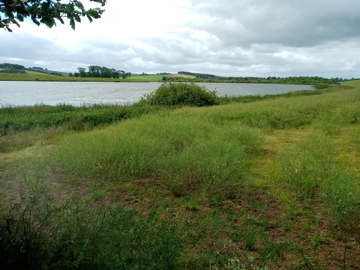
Hoselaw Loch and Din Moss
Hoselaw Loch and Din Moss — nature reserve near Kelso, Scottish Borders, Scotland, UK.
 Flagship📷 5
Islands · Scottish Highlands
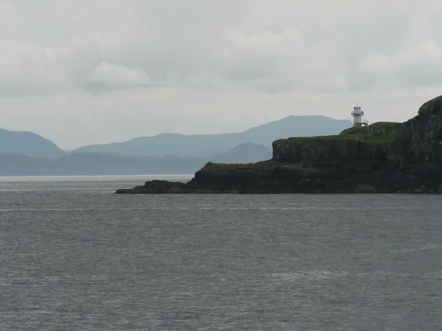
Eigg
Eigg — one of the Small Isles in the Inner Hebrides, Scotland, UK.
 📷 3
📷 3Natural landmarks · Scottish Highlands
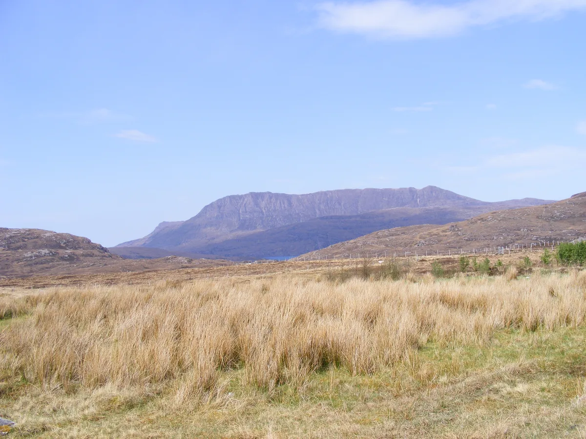
Ben More Coigach
Ben More Coigach — 743m mountain in Lochbroom, Highland, Scotland.
 📷 3
📷 3Reservoirs & lochs · Scottish Highlands
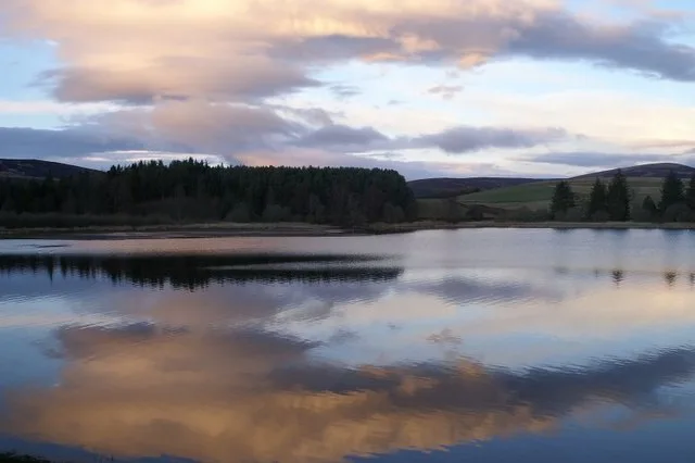
Loch of Lintrathen
Loch of Lintrathen — reservoir in Angus, Scotland, UK, on and outflows east to Melgam Water.
More places in this region
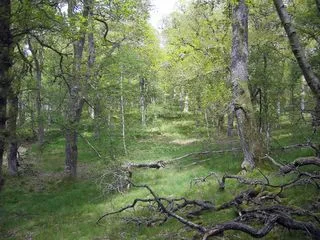 📷 3
📷 3Wildlife reserves · Scottish Highlands
Dinnet Oakwood Special Area of Conservation
Dinnet Oakwood Special Area of Conservation — Special Area of Conservation in Aberdeenshire, Scotland, UK.
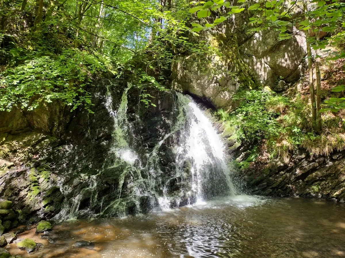 📷 3
📷 3Wildlife reserves · Scottish Highlands
Fairy Glen, Rosemarkie
Fairy Glen, Rosemarkie — RSPB reserve in Scotland.
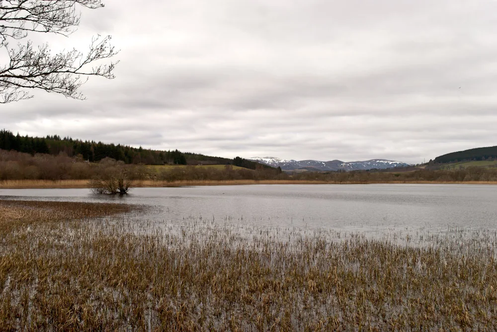 📷 3
📷 3Wildlife reserves · Scottish Highlands
Loch Achnacloich
Loch Achnacloich — lake in Highland, Scotland, UK, on and outflowsing east to Burn of Achnacloich.
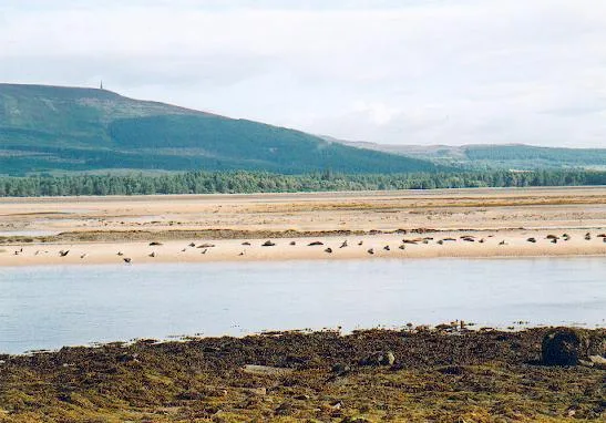 📷 5
📷 5Wildlife reserves · Scottish Highlands
Loch Fleet National Nature Reserve
Loch Fleet National Nature Reserve — nature reserve in Highland, Scotland, UK.
Frequently asked questions
- Where is Handa Island?
- Handa Island is in the Scottish Highlands, United Kingdom.
- What is Handa Island?
- Handa Island — island off the west coast of Sutherland, Scotland.
- How do I get to Handa Island?
- Its coordinates are 58.3808°, -5.1864°.
- Who runs Handa Island?
- Handa Island is operated by Scottish Wildlife Trust.
- Is Handa Island free to visit?
- Yes, Handa Island is free to enter.
- Are dogs allowed at Handa Island?
- Most wildlife reserves allow dogs on lead only, with restrictions during ground-nesting bird season (March-July). Check signage at the reserve.