Mountains & hills · Scottish Islands
Rønnies Hill
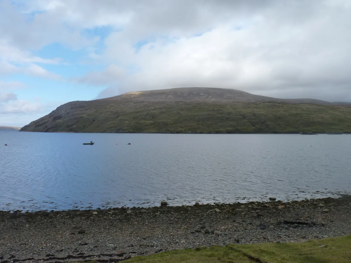
Rønnies Hill — Named summit at 450 m.

Wikimedia Commons contributors — see linked file page for photographer and licence licence
Plan your visit
- Typical visit
- 3 h–8 h
- Best time of year
- Late spring – early autumn (May–Oct)
- Dog-friendly
About
Rønnies Hill is a named summit in the United Kingdom. Wikidata describes it as: "Named summit at 450 m.". Coordinates: 60.5338°, -1.4455°.
Photo gallery
From the Wikipedia article
Ronas Hill (or Rönies Hill) is a hill in Shetland, Scotland. It is classed as a Marilyn, and is the highest point in the Shetland Islands at an elevation of 450 m (1,480 ft). A Neolithic chambered cairn is located near the summit.
Excerpt from Wikipedia under CC BY-SA 4.0. See the source article linked in Sources below.
- Coordinates
- 60.5338, -1.4455
- Address
- Shetland, Scotland
- Official site
- rsis.ramsar.org
Sources
- osm: n3473417740 (ODbL)
- wikipedia: Ronas Hill (CC BY-SA 4.0)
- commons: Ronas Hill - geograph.org.uk - 3982198.jpg (CC BY-SA 4.0)
Other places nearby
Loading nearby places…
Nearby
 📷 3
📷 3Natural landmarks · Scottish Islands
Ronas Hill
Ronas Hill — 450m high mountain in Shetland Islands, Scotland, UK.
 📷 3
📷 3Burial mounds & barrows · Scottish Islands
Ronas Hill Chambered Cairn
Ronas Hill Chambered Cairn — a burial mound in scotland-islands, United Kingdom.
 📷 3
📷 3Mountains & hills · Scottish Islands
Ronas Voe
Ronas Voe in Orkney + Shetland, United Kingdom.
 📷 3
📷 3Beaches · Scottish Islands
Lang Ayre
Lang Ayre — beach in Shetland Islands, Scotland, UK.
 📷 3
📷 3Beaches · Scottish Islands
Da Blade
Da Blade is a beach in the United Kingdom.
📷 3Beaches · Scottish Islands
Dukies
Dukies is a beach in the United Kingdom.
More mountains in this region
 📷 3
📷 3Mountains & hills · Scottish Islands
Aikerness Bay
Aikerness Bay — bay in Orkney Islands, Scotland, UK.
 📷 3
📷 3Mountains & hills · Scottish Islands
Aith Hope
Aith Hope — bay in Orkney Islands, Scotland, UK.

Mountains & hills · Scottish Islands
Aith Voe
Aith Voe — bay on West Mainland, Shetland Islands, Scotland, UK.
 📷 3
📷 3Mountains & hills · Scottish Islands
Aith Voe
Aith Voe — bay on South Mainland, Shetland Islands, Scotland, UK.
Frequently asked questions
- Where is Rønnies Hill?
- Rønnies Hill is in Scottish Islands, in the United Kingdom — coordinates 60.5338°, -1.4455°.