
Beaches · Scottish Islands
Lang Ayre
Lang Ayre — beach in Shetland Islands, Scotland, UK.

Wikimedia Commons licence
Plan your visit
- Typical visit
- 1 h–3 h
- Best time of year
- Summer (Jun–Aug)
- Free entry
- Family-friendly
- Dog-friendly
About
Lang Ayre is a named beach on the United Kingdom coastline. Wikidata describes it as: "beach in Shetland Islands, Scotland, UK". Coordinates: 60.5544°, -1.4700°.
Photo gallery
From the Wikipedia article
The Lang Ayre is a beach on the west side of Ronas Hill, Northmavine, Shetland. At 1 kilometre (0.6 mi) in length it is the archipelago's longest. It is accessed either by a long walk from the top of Collafirth Hill down the Burn of Monius, or by sea. The beach's sand is red, eroded from the up to 700 feet (210 m) high red granite cliffs towering above it.
Excerpt from Wikipedia under CC BY-SA 4.0. See the source article linked in Sources below.
Background
Visiting
The Lang Ayre is situated north of the mouth of Ronas Voe, and is about 5 km from the nearest road, so it is considered quite remote, even by Shetland standards. Many walkers visiting the beach also undertake a walk to the summit of 450 m Ronas Hill en route. The beach is most easily accessed on land by following the Burn of Monius down a steep-sided ravine east of Ketligill Head. The final descent down to the beach is aided by a rope which is left at the site for public use. The route most commonly taken to reach the Lang Ayre over Ronas Hill is prone to low-lying mist, so walkers are advised to be familiar with the use of a map and compass to be able to navigate back in poor visibility.…
Sourced from Wikipedia under CC BY-SA 4.0.
- Coordinates
- 60.5544, -1.4700
- Address
- |grid_ref_UK=HU2985
Sources
Other places nearby

Hill of Burriesness
Mountains & hills · 2.1 km
Ronas Voe
Natural landmarks · 2.5 km

Ronas Hill
Natural landmarks · 2.6 km
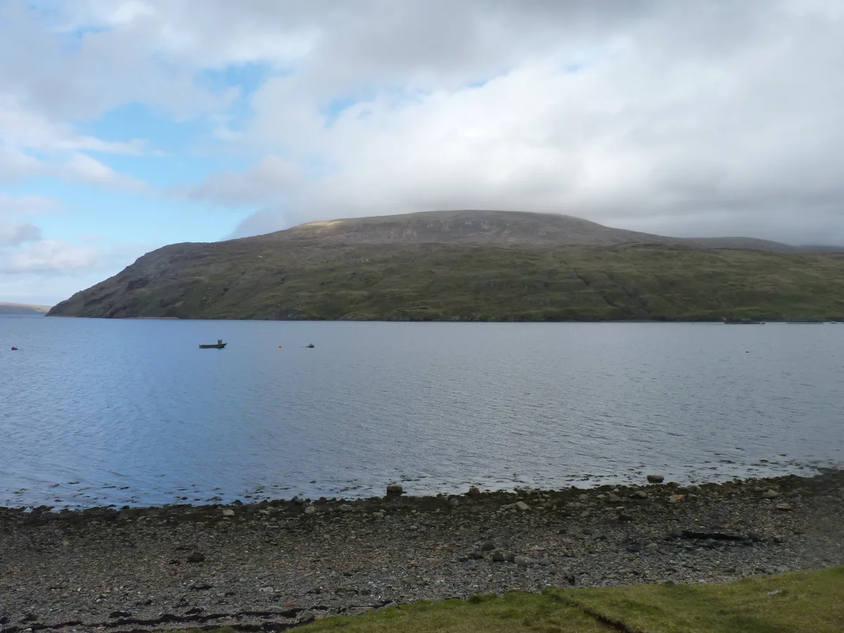
Rønnies Hill
Mountains & hills · 2.7 km

Ronas Hill Chambered Cairn
Burial mounds & barrows · 2.7 km

Mid Field
Mountains & hills · 3.0 km
Stack of Junamarka
Mountains & hills · 3.6 km

Lang Clodie Wick
Natural landmarks · 3.8 km
Hevdadale Hill
Mountains & hills · 4.1 km

Septa Field
Mountains & hills · 4.2 km
Turning Hill
Mountains & hills · 4.3 km

Roer Water,house 300m E of NW end of loch
Vineyards · 4.6 km
Nearby
📷 5Mountains & hills · Scottish Islands
Hill of Burriesness
Hill of Burriesness — mountain in scotland islands. Elevation: 155 m.
📷 5📷 3Natural landmarks · Scottish Islands
Ronas Hill
Ronas Hill — 450m high mountain in Shetland Islands, Scotland, UK.
📷 3Mountains & hills · Scottish Islands
Rønnies Hill
Rønnies Hill — Named summit at 450 m.
📷 3Burial mounds & barrows · Scottish Islands
Ronas Hill Chambered Cairn
Ronas Hill Chambered Cairn — a burial mound in Scottish Islands, United Kingdom.
📷 5Mountains & hills · Scottish Islands
Mid Field
Mid Field — mountain in scotland islands. Elevation: 388 m.
Where to eat & stay near Lang Ayre
Places to stay
 📷 5
📷 5Caravan parks · Scottish Islands
Braewick Caravan Park
Braewick Caravan Park — a caravan park in scotland islands.
 📷 5
📷 5 📷 5
📷 5Campsites · Scottish Islands
Burravoe Pier Trust Campsite
Burravoe Pier Trust Campsite — a campsite in scotland islands.
Places to eat & drink
 📷 7
📷 7Historic pubs · Scottish Islands
The Booth, Hillswick House, Hillswick
The Booth, Hillswick House, Hillswick in England South East, United Kingdom.
 📷 5
📷 5Historic pubs · Scottish Islands
Busta House Hotel, Brae
Busta House Hotel, Brae in England South East, United Kingdom.
More beaches in this region
 📷 3
📷 3 📷 3
📷 3 📷 3
📷 3Beaches · Scottish Islands
An Tràigh-lochain
An Tràigh-lochain is a beach in the United Kingdom.
 📷 3
📷 3Frequently asked questions
- Where is Lang Ayre?
- Lang Ayre is in the Scottish Islands, United Kingdom.
- What is Lang Ayre?
- Lang Ayre — beach in Shetland Islands, Scotland, UK.
- How do I get to Lang Ayre?
- Its coordinates are 60.5544°, -1.4700°.
- Who owns Lang Ayre?
- Lang Ayre is owned by |designation=.
- Is Lang Ayre free to visit?
- Yes, Lang Ayre is free to enter.