
Wildlife reserves · West Midlands
Q137785285
In or near Great Haywood.
Q137785285 — nature reserve in Staffordshire, England.

Wikimedia Commons contributors — see linked file page for photographer and licence licence

Plan your visit
- Typical visit
- 2 h–4 h
- Best time of year
- Autumn & winter (migration & wildfowl)
- Nearest railway station
- Amerton Station · 3.1 km
- Free entry
- Family-friendly
- Dog-friendly
- Limited wheelchair access
Getting there & planning your visit
To visit the wildlife reserve in Stafford, Staffordshire, the nearest railway station is Amerton Station, located 3.1 km away. Entry to the reserve is free, but wheelchair accessibility is limited. The postcode for sat-nav is ST18 0RB.
About
Q137785285 is a wildlife reserve in the United Kingdom. Heritage designation: Site of Special Scientific Interest. Managed by Staffordshire Wildlife Trust. Wikidata describes it as: "nature reserve in Staffordshire, England". Coordinates: 52.8200°, -2.0128°.
Photo gallery
Summary from the official site
Pasturefields Saltmarsh is one of the last surviving inland saltmarshes in the British Isles, featuring unique halophytic plants and serving as a habitat for various wading birds. The reserve is a remnant of the former saltmarshes of the Trent Valley and is proposed as a Special Area of Conservation due to its ecological significance.
Read more on the official property page.
Protected designations
- Site of Special Scientific Interest: Pasturefields Salt Marsh SSSI
Designations sourced from Natural England open data under OGL v3.
From the Wikipedia article
Pasturefields Saltmarsh is nature reserve of Staffordshire Wildlife Trust, a salt marsh near Stafford, in Staffordshire, England. It is designated a Site of Special Scientific Interest and a Special Area of Conservation.
Excerpt from Wikipedia under CC BY-SA 4.0. See the source article linked in Sources below.
Background
Description
The Joint Nature Conservation Committee (JNCC) notes that it is the only known remaining natural inland salt meadow in the UK. The site, near the River Trent, is what remains from the former salt marshes in the Trent Valley where there was once brine extraction; there are two old brine wells on the site. Visitors are advised to keep to the higher ground of the reserve, as there are unfenced wet ditches and boggy areas. There is no parking area.
Sourced from Wikipedia under CC BY-SA 4.0.
- Coordinates
- 52.8200, -2.0128
- County
- Staffordshire
- District
- Stafford
- Parish
- Hixon
- Postcode
- ST18 0RB
- Parliamentary constituency
- Stone, Great Wyrley and Penkridge
- Phone
- 01889 880100
- Nearest railway station
- Amerton Station — 3.1 km
- Opening
- | website = {{URL|https://www.staffs-wildlife.org.uk/nature-reserves/pasturefields-saltmarsh}}
- Official site
- www.staffs-wildlife.org.uk
Sources
- wikidata: Q137785285 (CC0)
- wikipedia: Pasturefields Saltmarsh (CC BY-SA 4.0)
- commons: Pasturefields saltmarsh, west of the Trent ^ Mersey Canal - geograph.org.uk - 6652877.jpg (CC BY-SA 4.0)
Other places nearby

Trent and Mersey Canal Pasturefields Bridge Number 77 at SJ 9941 2476
Historic bridges · 0.2 km

Trent and Mersey Canal Hoomill Bridge number 76 at SJ 9973 2410
Historic bridges · 0.8 km

Ingestre
Villages · 1.0 km

Trent and Mersey Canal Middle Bridge Number 75 at SJ 9948 2341
Historic bridges · 1.3 km

Church of St Mary, Ingestre
Historic churches · 1.6 km

Stowe
Villages · 1.7 km

Mill Lane Bridge
Historic bridges · 1.8 km

Great Haywood canal bridge No 109
Historic bridges · 1.8 km
Haywood Junction
Canals · 1.8 km

Green Man Caravan Site
Caravan parks · 1.9 km

Cat's Monument
Memorials & monuments · 2.0 km

Haywood Hall
Archaeological sites · 2.0 km
Nearby
📷 3Historic bridges · West Midlands
Trent and Mersey Canal Pasturefields Bridge Number 77 at SJ 9941 2476
Trent and Mersey Canal Pasturefields Bridge Number 77 at SJ 9941 2476 — Grade II listed building-listed bridge in england-west-midlands, United Kingdom.
📷 3Historic bridges · West Midlands
Trent and Mersey Canal Hoomill Bridge number 76 at SJ 9973 2410
Trent and Mersey Canal Hoomill Bridge number 76 at SJ 9973 2410 — Grade II listed building-listed bridge in england-west-midlands, United Kingdom.
📷 5📷 3Historic bridges · West Midlands
Trent and Mersey Canal Middle Bridge Number 75 at SJ 9948 2341
Trent and Mersey Canal Middle Bridge Number 75 at SJ 9948 2341 — Grade II listed building-listed bridge in england-west-midlands, United Kingdom.
📷 3Historic churches · West Midlands
Church of St Mary, Ingestre
Church of St Mary, Ingestre — Grade I listed building-listed church in england-west-midlands, United Kingdom.
📷 5Where to eat & stay near Q137785285
Places to stay
📷 5Caravan parks · West Midlands
Green Man Caravan Site
Green Man Caravan Site — a caravan park in england east midlands.
 📷 5
📷 5Caravan parks · West Midlands
Silvertrees Caravan Park
Silvertrees Caravan Park — a caravan park in england east midlands.
 📷 5
📷 5Campsites · West Midlands
Spring Slade Lodge
Spring Slade Lodge — a campsite in england west midlands.
 📷 5
📷 5Caravan parks · West Midlands
Tackeroo Caravan Site
Tackeroo Caravan Site — a caravan park in england west midlands.
 📷 5
📷 5Caravan parks · West Midlands
Cannock Chase Camping and Caravanning Club
Cannock Chase Camping and Caravanning Club — a caravan park in england east midlands.
 📷 7
📷 7Places to eat & drink
 📷 5
📷 5Historic pubs · West Midlands
Shrewsbury Arms
Shrewsbury Arms in England West Midlands, United Kingdom.
 📷 5
📷 5Historic pubs · West Midlands
The Chains Public House
The Chains Public House in England West Midlands, United Kingdom.
 📷 5
📷 5 📷 5
📷 5Historic pubs · West Midlands
Eagle Inn Public House
Eagle Inn Public House in England West Midlands, United Kingdom.
 📷 7
📷 7 📷 7
📷 7More places run by Staffordshire Wildlife Trust
 📷 5
📷 5Wildlife reserves · East Midlands
Black Brook
Black Brook — nature reserve in Staffordshire, UK.
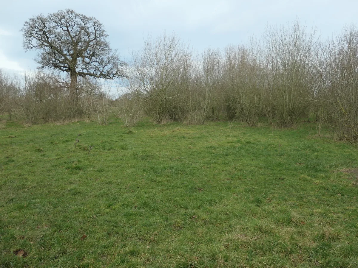 📷 3
📷 3Wildlife reserves · East Midlands
Brankley Pastures
Brankley Pastures — nature reserve in Staffordshire, UK.
 📷 3
📷 3Wildlife reserves · East Midlands
Brown End Quarry
Brown End Quarry — nature reserve in Staffordshire, England.
 📷 3
📷 3Wildlife reserves · East Midlands
Castern Wood
Castern Wood — nature reserve in Staffordshire, UK.
More places in this region
 📷 3
📷 3Wildlife reserves · West Midlands
George's Hayes
George's Hayes — nature reserve in Staffordshire, UK.
 📷 3
📷 3Wildlife reserves · West Midlands
Wolseley Centre
Wolseley Centre — visitor centre in Staffordshire, UK.
 📷 4
📷 4Wildlife reserves · West Midlands
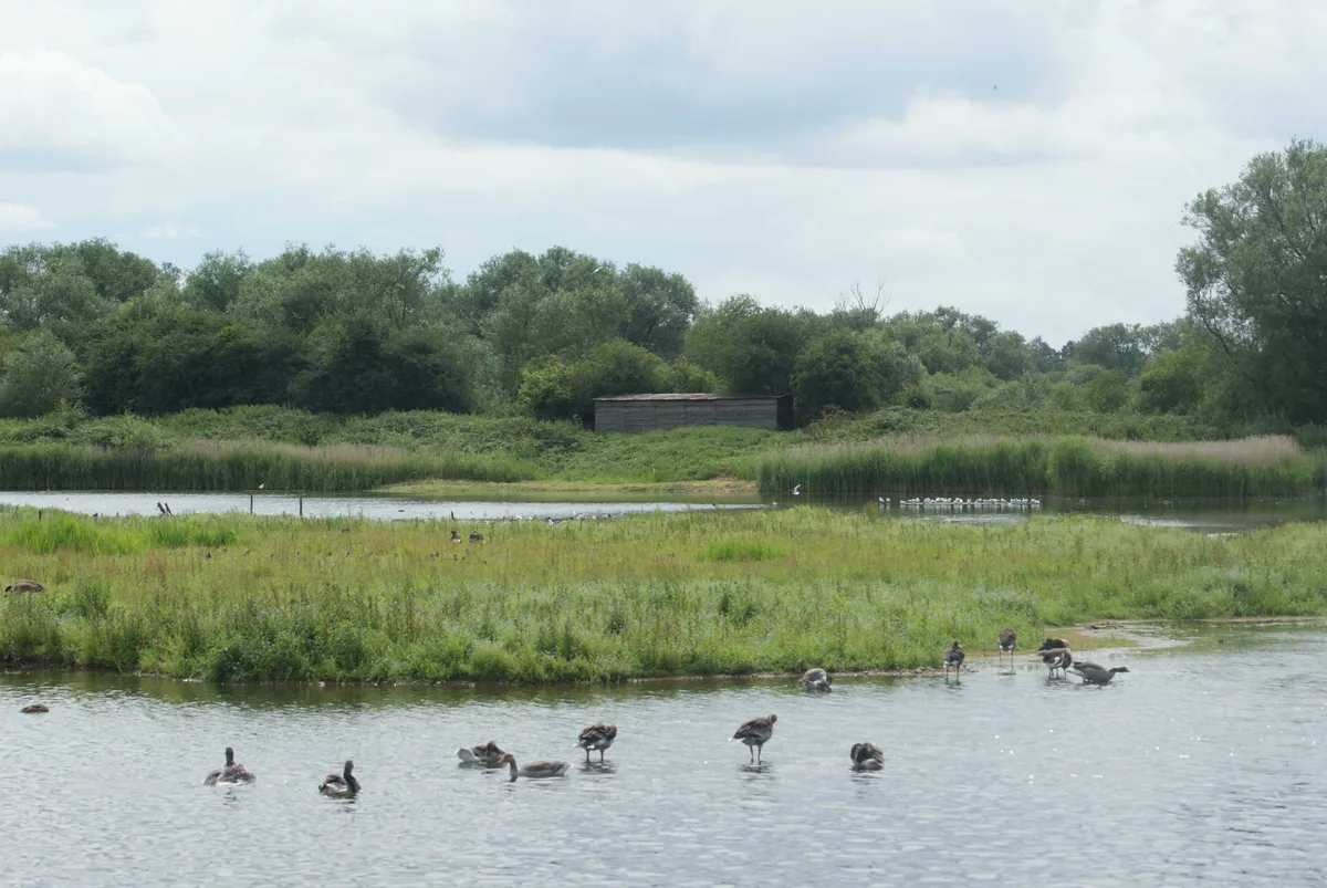
Alvecote Pools
Alvecote Pools is a Site of Special Scientific Interest (SSSI) and nature reserve situated alongside the River Anker, adjacent to the hamlet of Alvecote on the border of Warwickshire and Staffordshire
 📷 5
📷 5Wildlife reserves · West Midlands
Brandon Marsh
Brandon Marsh — nature reserve in the United Kingdom.
Frequently asked questions
- Where is Q137785285?
- Q137785285 is in Staffordshire, the West Midlands, United Kingdom (postcode ST18 0RB), in the parish of Hixon.
- What is Q137785285?
- Q137785285 — nature reserve in Staffordshire, England.
- How do I get to Q137785285?
- The nearest railway station is Amerton Station, about 3.1 km away. The nearest town is Great Haywood. Drivers can use postcode ST18 0RB.
- Who runs Q137785285?
- Q137785285 is operated by Staffordshire Wildlife Trust.
- Is Q137785285 a listed building?
- Q137785285 is officially recognised as Site of Special Scientific Interest listed.
- Is Q137785285 a protected site?
- Yes — Q137785285 is part of the Pasturefields Salt Marsh SSSI Site of Special Scientific Interest.
- Is Q137785285 free to visit?
- Yes, Q137785285 is free to enter.
- How do I get to Q137785285?
- The nearest railway station is Amerton Station, about 3.1 km away. Drivers can navigate to postcode ST18 0RB.