
Wildlife reserves · West Midlands
George's Hayes
In or near Lichfield.
George's Hayes — nature reserve in Staffordshire, UK.

Milestone Society — CC BY-SA 2.0 via Wikimedia Commons licence

Plan your visit
- Typical visit
- 2 h–4 h
- Best time of year
- Autumn & winter (migration & wildfowl)
- Nearest railway station
- Rugeley Town · 4.4 km
- Free entry
- Family-friendly
- Dog-friendly
- Limited wheelchair access
About
George's Hayes is a wildlife reserve in the United Kingdom. Managed by Staffordshire Wildlife Trust. Wikidata describes it as: "nature reserve in Staffordshire, UK". Coordinates: 52.7200°, -1.9053°.
Photo gallery
Official information
George's Hayes is an ancient woodland nature reserve known for its native wild daffodils and diverse flora. Visitors can explore the woodland trails and enjoy the natural beauty, especially during spring when the flowers bloom. The reserve also offers opportunities to observe local wildlife, including red deer.
Protected designations
- Area of Outstanding Natural Beauty: Cannock Chase
Designations sourced from Natural England open data under OGL v3.
From the Wikipedia article
George's Hayes is a nature reserve of the Staffordshire Wildlife Trust. It is an ancient woodland, about a mile south-west of the village of Longdon, between Rugeley and Lichfield in Staffordshire, England. It is within the Cannock Chase Area of Outstanding Natural Beauty.
Excerpt from Wikipedia under CC BY-SA 4.0. See the source article linked in Sources below.
Background
Description
The reserve, total area 19 ha, is leased from the Girl Guide Association. It consists of George's Hayes (the largest part), Piggot's Bottom and Square Covert, all formerly part of the Beaudesert Estate. There are walking trails through the woods. The reserve is in the area of Cannock Chase, and red deer may occasionally be seen. Existing for over 400 years, the woods are ancient woodland. There was once extensive felling and replanting. Wild flowers to be seen, typical of ancient woodland, include wild garlic, wood anenome, bluebells and a large colony of native wild daffodils. Although tree species originally in the woods such as oak, ash and hazel still exist, most trees are sycamore. The…
Sourced from Wikipedia under CC BY-SA 4.0.
- Coordinates
- 52.7200, -1.9053
- County
- Staffordshire
- District
- Lichfield
- Parish
- Longdon
- Postcode
- WS15 4LW
- Parliamentary constituency
- Lichfield
- Phone
- 01889 880100
- Nearest railway station
- Rugeley Town — 4.4 km
- Opening
- Open at all times
- Official site
- www.staffs-wildlife.org.uk
Sources
- wikidata: Q106959449 (CC0)
- wikipedia: George's Hayes (CC BY-SA 4.0)
Other places nearby

Longdon
Villages · 1.5 km

Castle Ring
Castles · 2.1 km

Windmill Tower Approximately 50 Yards North West Of The Windmill Inn
Windmills · 2.2 km

Castle Ring
Vineyards · 2.2 km
Cannock Castle Ring
Literary houses · 2.2 km

Farewell
Villages · 2.5 km

Farewell Manor
Manor houses · 2.6 km

Farewell Hall
Historic houses · 2.6 km

Cannock Chase Camping and Caravanning Club
Caravan parks · 2.8 km

Brereton War Memorial
Memorials & monuments · 2.8 km

Armitage United Reform Church Chapel
Chapels · 2.9 km

Radmore
Castles · 2.9 km
Nearby
📷 5📷 4Castles · West Midlands
Castle Ring
Castle Ring is an Iron Age hill fort, situated high up on the southern edge of Cannock Chase (The Chase), Staffordshire, England. It is the highest point on The Chase with an elevation of 242 metres (
📷 3Windmills · West Midlands
Windmill Tower Approximately 50 Yards North West Of The Windmill Inn
Windmill Tower Approximately 50 Yards North West Of The Windmill Inn — Grade II listed building-listed windmill in england-east-midlands, United Kingdom.
📷 5Vineyards · West Midlands
Castle Ring
Castle Ring — a UK vineyard in england east midlands, producing English or Welsh wine from cool-climate grape varieties.
📷 5Literary houses · West Midlands
Cannock Castle Ring
Cannock Castle Ring — a literary house museum in england east midlands.
📷 5Where to eat & stay near George's Hayes
Places to stay
📷 5Caravan parks · West Midlands
Cannock Chase Camping and Caravanning Club
Cannock Chase Camping and Caravanning Club — a caravan park in england east midlands.
 📷 5
📷 5Caravan parks · West Midlands
Silvertrees Caravan Park
Silvertrees Caravan Park — a caravan park in england east midlands.
 📷 5
📷 5Hotels · West Midlands
George Hotel
George Hotel — a hotel in england west midlands.
 📷 5
📷 5Caravan parks · West Midlands
Tackeroo Caravan Site
Tackeroo Caravan Site — a caravan park in england west midlands.
 📷 5
📷 5Caravan parks · West Midlands
Kingfisher Holiday Park
Kingfisher Holiday Park — a caravan park in england east midlands.
 📷 5
📷 5Campsites · West Midlands
Spring Slade Lodge
Spring Slade Lodge — a campsite in england west midlands.
Places to eat & drink
 📷 5
📷 5 📷 5
📷 5Restaurants · West Midlands
Thai Rainbow
Thai Rainbow — a restaurant in england west midlands.
 📷 5
📷 5Restaurants · West Midlands
Lichfield House
Lichfield House — a restaurant in england west midlands.
 📷 5
📷 5Historic pubs · West Midlands
The Scales Public House
The Scales Public House in England West Midlands, United Kingdom.
 📷 5
📷 5Historic pubs · West Midlands
Prince Of Wales Public House
Prince Of Wales Public House in England West Midlands, United Kingdom.
 📷 5
📷 5Historic pubs · West Midlands
Earl Of Lichfield Arms Public House
Earl Of Lichfield Arms Public House in England West Midlands, United Kingdom.
More places run by Staffordshire Wildlife Trust
 📷 5
📷 5Wildlife reserves · East Midlands
Black Brook
Black Brook — nature reserve in Staffordshire, UK.
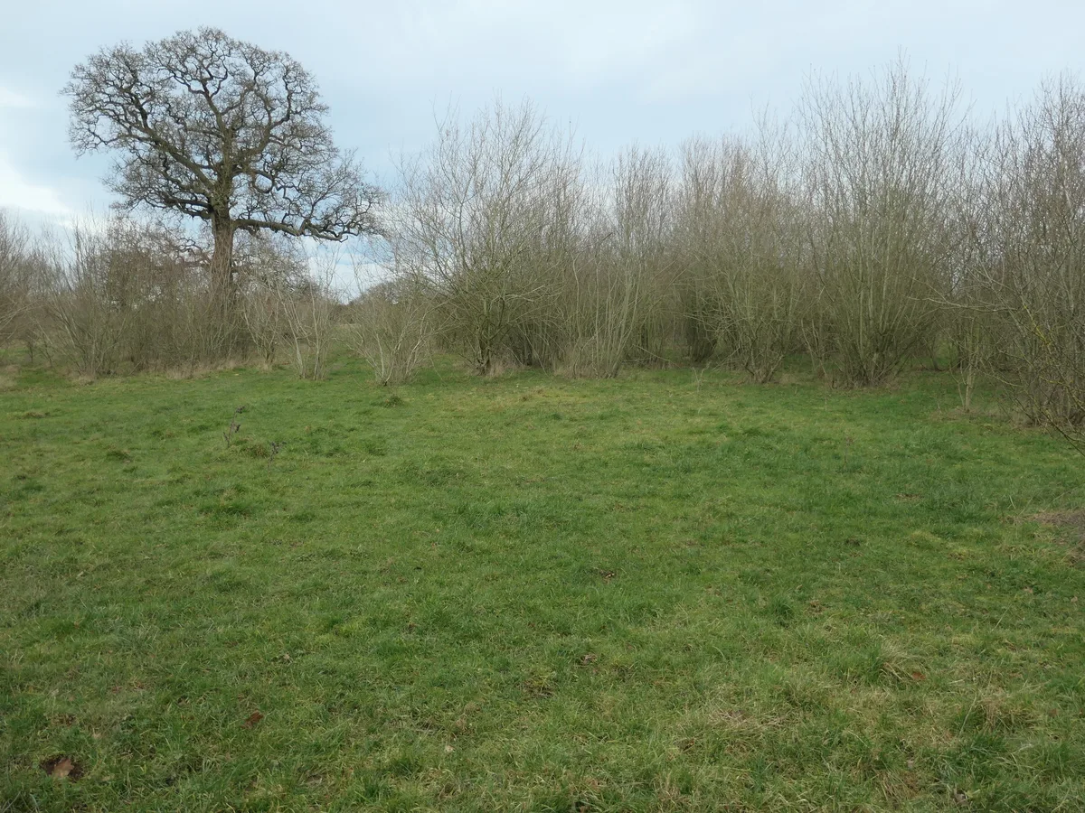 📷 3
📷 3Wildlife reserves · East Midlands
Brankley Pastures
Brankley Pastures — nature reserve in Staffordshire, UK.
 📷 3
📷 3Wildlife reserves · East Midlands
Brown End Quarry
Brown End Quarry — nature reserve in Staffordshire, England.
 📷 3
📷 3Wildlife reserves · East Midlands
Castern Wood
Castern Wood — nature reserve in Staffordshire, UK.
More places in this region
 📷 3
📷 3Wildlife reserves · West Midlands
Wolseley Centre
Wolseley Centre — visitor centre in Staffordshire, UK.
 📷 4
📷 4Wildlife reserves · West Midlands
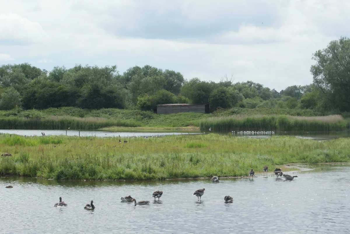
Alvecote Pools
Alvecote Pools is a Site of Special Scientific Interest (SSSI) and nature reserve situated alongside the River Anker, adjacent to the hamlet of Alvecote on the border of Warwickshire and Staffordshire
 📷 5
📷 5Wildlife reserves · West Midlands
Brandon Marsh
Brandon Marsh — nature reserve in the United Kingdom.
 📷 3
📷 3Wildlife reserves · West Midlands
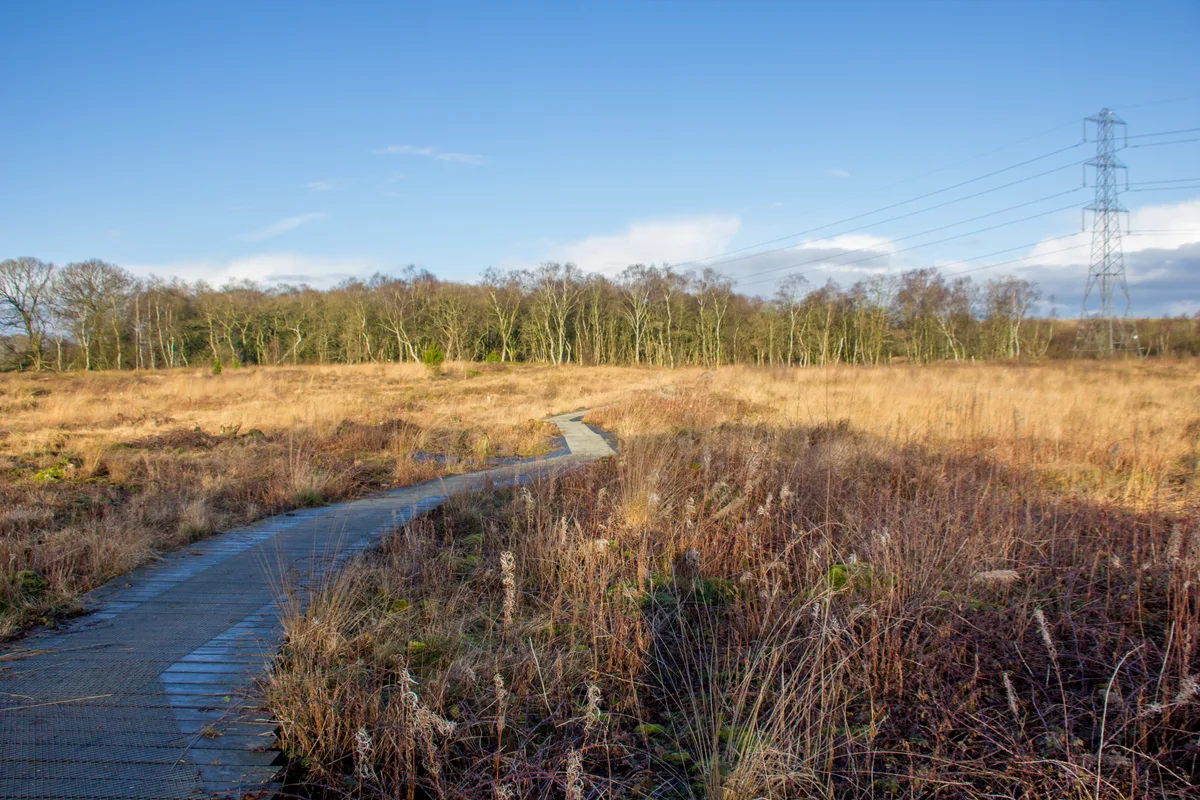
Danes Moss Nature Reserve
Danes Moss Nature Reserve — nature reserve and SSSI south of Macclesfield, Cheshire, England.
Frequently asked questions
- Where is George's Hayes?
- George's Hayes is in Staffordshire, the West Midlands, United Kingdom (postcode WS15 4LW), in the parish of Longdon.
- What is George's Hayes?
- George's Hayes — nature reserve in Staffordshire, UK.
- How do I get to George's Hayes?
- The nearest railway station is Rugeley Town, about 4.4 km away. The nearest town is Lichfield. Drivers can use postcode WS15 4LW.
- Who runs George's Hayes?
- George's Hayes is operated by Staffordshire Wildlife Trust.
- Is George's Hayes a protected site?
- Yes — George's Hayes is part of the Cannock Chase National Landscape (AONB).
- Is George's Hayes free to visit?
- Yes, George's Hayes is free to enter.
- How do I get to George's Hayes?
- The nearest railway station is Rugeley Town, about 4.4 km away. Drivers can navigate to postcode WS15 4LW.
- Are dogs allowed at George's Hayes?
- Most wildlife reserves allow dogs on lead only, with restrictions during ground-nesting bird season (March-July). Check signage at the reserve.