
Hill forts · South West England
Priddy Circles
In or near Rodney Stoke.
Priddy Circles — archaeological site in Priddy, Mendip, England, UK.

Wikimedia Commons contributors — see linked file page for photographer and licence licence

Plan your visit
- Typical visit
- 1 h–2 h
- Free entry
- Family-friendly
- Dog-friendly
About
Priddy Circles is a hill fort in the United Kingdom. Wikidata describes it as: "archaeological site in Priddy, Mendip, England, UK". Coordinates: 51.2725°, -2.6608°.
Photo gallery
Protected designations
- National Nature Reserve: MENDIP
- Area of Outstanding Natural Beauty: Mendip Hills
Designations sourced from Natural England open data under OGL v3.
From the Wikipedia article
Priddy Circles are a linear arrangement of four circular earthwork enclosures near the village of Priddy on the Mendip Hills in Somerset, England. The circles have been listed as Scheduled Ancient Monuments, and described as 'probable Neolithic ritual or ceremonial monuments similar to a henge'. The southernmost Priddy Circle falls on adjoining land to a house and stables that are owned by retired businessman Roger Penny. In 2012 Penny was fined £10,000 after the earthwork was damaged by work he had permitted.
Excerpt from Wikipedia under CC BY-SA 4.0. See the source article linked in Sources below.
Background
Description
The enclosures range in diameter from 185 to. Three of the circles are closely spaced in a nearly straight line, while the fourth is 350 m to the north and somewhat out of line with the other three. The total arrangement is spread over roughly 1.2 km. There is no missing enclosure in the gap between the northernmost enclosure and the others. This gap is bisected by the B3135 road and the course of the Roman road which runs between Charterhouse and Old Sarum. The four circles each consist of a flat circular area surrounded by a bank and external ditch enclosure with more than one entrance. Circle 4 has a diameter of up to 190 m but only two-thirds of the earthwork is present. Boreholes made…
Sourced from Wikipedia under CC BY-SA 4.0.
- Coordinates
- 51.2725, -2.6608
- District
- Somerset
- Parish
- Priddy
- Postcode
- BA5 3DB
- Parliamentary constituency
- Wells and Mendip Hills
Sources
- wikidata: Q2109508 (CC0)
- wikipedia: Priddy Circles (CC BY-SA 4.0)
- commons: Priddy Rings Somerset Map.jpg (CC BY-SA 4.0)
Other places nearby

Ashen Hill Barrows
Archaeological sites · 0.7 km
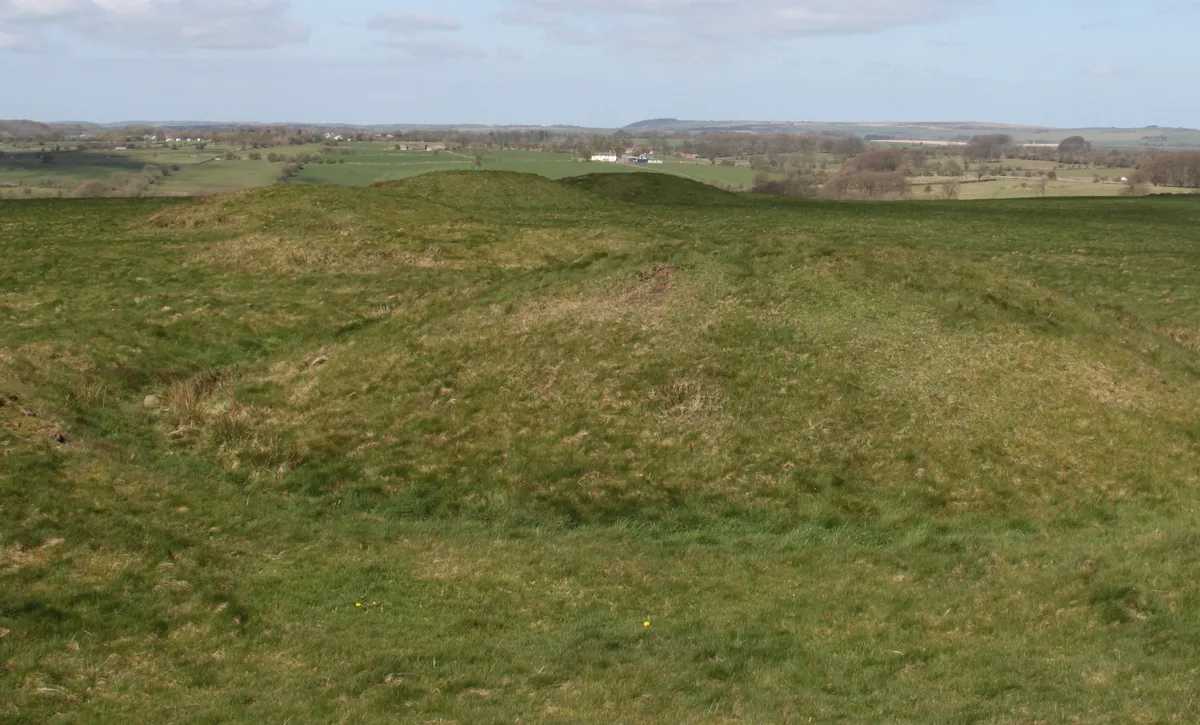
Priddy Nine Barrows and Ashen Hill Barrow Cemeteries
Hill forts · 1.1 km

Priddy Nine Barrows
Archaeological sites · 1.3 km

North Hill
Mountains & hills · 1.4 km

Priddy Mineries
Wildlife reserves · 1.5 km

The Headless Goose
Public art & sculpture · 1.5 km

Niver Hill
Mountains & hills · 1.5 km

Sludge Pit Hole
Caves · 1.6 km
Spoil heaps
Archaeological sites · 1.6 km
Priddy Mineries
Forests & woodlands · 1.7 km

Swildon's Hole Cavern
Caves · 1.7 km
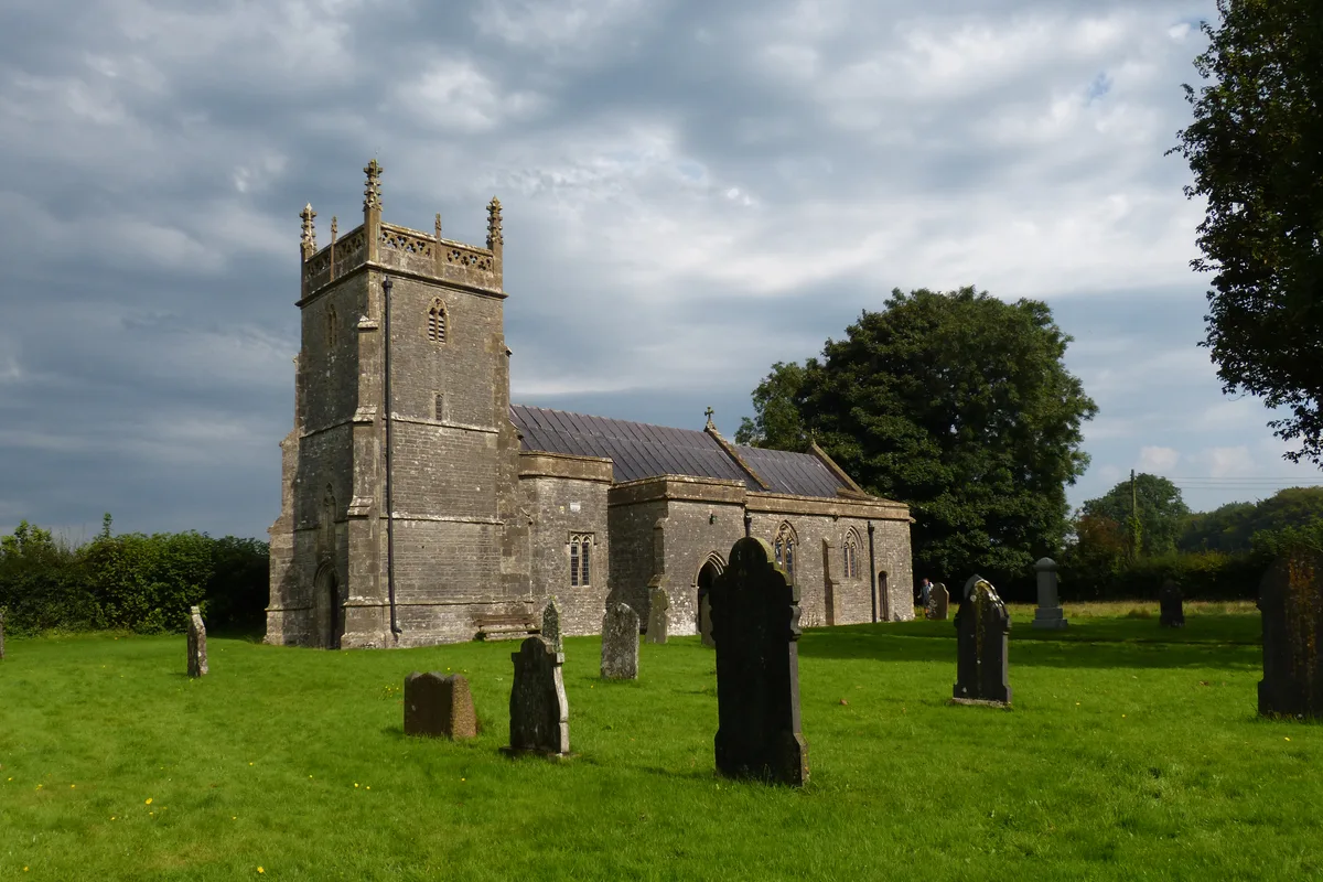
Church of St Lawrence, Priddy
Historic churches · 1.8 km
Nearby
📷 3Archaeological sites · South West England
Ashen Hill Barrows
Ashen Hill Barrows — an archaeological site in South West England, United Kingdom.
📷 5Hill forts · South West England
Priddy Nine Barrows and Ashen Hill Barrow Cemeteries
Priddy Nine Barrows and Ashen Hill Barrow Cemeteries — archaeological site in Somerset, United Kingdom.
📷 3Archaeological sites · South West England
Priddy Nine Barrows
Priddy Nine Barrows — an archaeological site in South West England, United Kingdom.
📷 5Mountains & hills · South West England
North Hill
North Hill — a hill or mountain in england south west.
📷 5Wildlife reserves · South West England
Priddy Mineries
Priddy Mineries — nature reserve in Somerset, England.
📷 3Public art & sculpture · South West England
The Headless Goose
The Headless Goose — a public art in South West England, United Kingdom.
Where to eat & stay near Priddy Circles
Places to stay
 📷 5
📷 5Campsites · South West England
Cheddar Mendip Heights Campsite
Cheddar Mendip Heights Campsite — a campsite in england south west.
 📷 5
📷 5Campsites · South West England
Nettwood Country Breaks
Nettwood Country Breaks — a campsite in england south west.
 📷 5
📷 5Campsites · South West England
Ebborways Camping
Ebborways Camping — a campsite in england south west.
 📷 5
📷 5Campsites · South West England
Lower Milton Caravan And Camping Site
Lower Milton Caravan And Camping Site — a campsite in england south west.
 📷 5
📷 5Caravan parks · South West England
Bucklegrove Caravan Park
Bucklegrove Caravan Park — a caravan park in england south west.
 📷 5
📷 5Places to eat & drink
 📷 5
📷 5Restaurants · South West England
Bekynton Brasserie
Bekynton Brasserie — a restaurant in england south west.
 📷 5
📷 5 📷 7
📷 7Historic pubs · South West England
The Bull Terrier
The Bull Terrier in England South West, United Kingdom.
 📷 7
📷 7 📷 7
📷 7Historic pubs · South West England
The Wine Vaults, Public House
The Wine Vaults, Public House in England South West, United Kingdom.
 📷 7
📷 7Historic pubs · South West England
Knatchbull Arms
Knatchbull Arms in England South West, United Kingdom.
More places in this region
 Flagship📷 10
Hill forts · South West England
Maiden Castle
Maiden Castle — Iron Age hill fort in Dorset, England, UK.
 📷 5
📷 5Hill forts · South West England
All Cannings Cross
All Cannings Cross — archaeological site in All Cannings, Wiltshire, England, UK.
 📷 5
📷 5Hill forts · South West England
Aquae Sulis
Aquae Sulis — town in Roman Britain on the site of Bath, England.
 📷 5
📷 5Hill forts · South West England
Aston Valley Barrow Cemetery
Aston Valley Barrow Cemetery — group of Bronze Age burial mounds in England.
Frequently asked questions
- Where is Priddy Circles?
- Priddy Circles is in South-West England, United Kingdom (postcode BA5 3DB), in the parish of Priddy.
- What is Priddy Circles?
- Priddy Circles — archaeological site in Priddy, Mendip, England, UK.
- How do I get to Priddy Circles?
- The nearest town is Rodney Stoke. Drivers can use postcode BA5 3DB.
- Is Priddy Circles a protected site?
- Yes — Priddy Circles is part of the MENDIP National Nature Reserve and the Mendip Hills National Landscape (AONB).
- Is Priddy Circles free to visit?
- Yes, Priddy Circles is free to enter.
- How do I get to Priddy Circles?
- Drivers can navigate to postcode BA5 3DB. It sits within the Wells and Mendip Hills parliamentary constituency.