
Gardens · East Midlands
Pipewell Hall And Wall Attached To Right
In or near Wilbarston.
Pipewell Hall And Wall Attached To Right — a garden in england-west-midlands, United Kingdom.

Andrew Tatlow — CC BY-SA 2.0 via Wikimedia Commons licence

Plan your visit
- Typical visit
- 1 h–2.5 h
- Best time of year
- Spring & summer (Apr–Sep)
- Nearest railway station
- Corby · 6.2 km
- Dog-friendly
Getting there & planning your visit
To visit Pipewell Hall And Wall Attached To Right, the nearest railway station is Corby, located 6.2 km away. The postcode for navigation is NN14 1QZ. Entry details are not specified, so please check in advance.
About
Pipewell Hall And Wall Attached To Right is a garden of interest in england-west-midlands, United Kingdom — drawn from open-data sources for visitor reference. See the linked Wikipedia article for the full description.
Photo gallery
From the Wikipedia article
Pipewell Hall in Northamptonshire, England, is a building of historical significance and is Grade II listed on the English Heritage Register. It was built near the ruins of a Cistercian abbey in 1675. At this time it was owned by the Barons of Powis. The house was constructed from the stones of the abbey. The Hall was the home of many notable people over the next three centuries and is now a wedding venue.
Excerpt from Wikipedia under CC BY-SA 4.0. See the source article linked in Sources below.
Background
Description
Pipewell Abbey which was owned by the Cistercian monks was closed in 1538 at the time of the dissolution of the monasteries and given to Sir William Parre. By 1620 it was in the possession of Thomas Cecil, Earl of Exeter. There is a deed dated 1622 which conveys "all the manor and lordship of Pipewell and the site of the late monastery of Pipewell with the appurtenances in the said County of Northampton" from the Cecil family to the Craven family. When Elizabeth Craven married Percy Herbert, 2nd Baron Powis in the same year the lands came into the Powis family although Elizabeth retained some ownership of them. Sir Percy temporarily lost some of his land in 1652 because of his religious…
Sourced from Wikipedia under CC BY-SA 4.0.
- Coordinates
- 52.4611, -0.7684
- District
- North Northamptonshire
- Parish
- Rushton
- Postcode
- NN14 1QZ
- Parliamentary constituency
- Kettering
- Nearest railway station
- Corby — 6.2 km
Sources
- wikidata: Q26303847 (CC0)
- wikipedia: Pipewell Hall (CC BY-SA 4.0)
Other places nearby

Pipewell Abbey
Cathedrals · 0.5 km
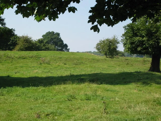
Pipewell Abbey
Abbeys & priories · 0.5 km

Rushton
Literary houses · 2.1 km

The Spread Eagle Public House
Historic pubs · 2.5 km

Glendon and Rushton railway station
Heritage railway stations · 2.5 km

Rushton
Villages · 2.5 km
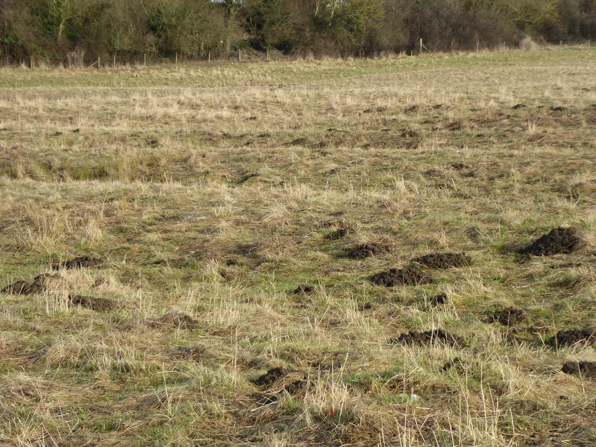
Great Oakley Meadow
Wildlife reserves · 2.5 km

Rushton Triangular Lodge
Follies · 2.5 km
Triangular Lodge
Natural landmarks · 2.5 km

Thornhill Arms Public House
Historic pubs · 2.6 km

Rushton, Pipewell and Glendon War Memorial
Memorials & monuments · 2.6 km

Rushton Hall
Historic houses · 2.7 km
Nearby
📷 4Cathedrals · East Midlands
Pipewell Abbey
Pipewell Abbey is a cathedral in the United Kingdom.
📷 3Abbeys & priories · East Midlands
Pipewell Abbey
Pipewell Abbey — former abbey in Northamptonshire, UK.
📷 5📷 5Historic pubs · East Midlands
The Spread Eagle Public House
The Spread Eagle Public House in England East Midlands, United Kingdom.
📷 5Heritage railway stations · East Midlands
Glendon and Rushton railway station
Glendon and Rushton railway station — a Grade II-listed railway station in england-west-midlands, United Kingdom.
📷 5Where to eat & stay near Pipewell Hall And Wall Attached To Right
Places to stay
 📷 5
📷 5 📷 5
📷 5Hotels · East Midlands
The Saxon Crown
The Saxon Crown — a hotel in england west midlands.
 📷 5
📷 5 📷 7
📷 7Hotels · East Midlands
Hampton by Hilton Corby/Kettering
Hampton by Hilton Corby/Kettering — a hotel in england west midlands. 4-star. Brand: Hampton.
 📷 5
📷 5 📷 5
📷 5Campsites · East Midlands
Rural Relaxing
Rural Relaxing — a campsite in england west midlands.
Places to eat & drink
📷 5Historic pubs · East Midlands
The Spread Eagle Public House
The Spread Eagle Public House in England East Midlands, United Kingdom.
📷 5Historic pubs · East Midlands
Thornhill Arms Public House
Thornhill Arms Public House in England East Midlands, United Kingdom.
 📷 5
📷 5Historic pubs · East Midlands
Knights Lodge Public House
Knights Lodge Public House in England East Midlands, United Kingdom.
 📷 5
📷 5Historic pubs · East Midlands
Fox Inn Public House
Fox Inn Public House in England East Midlands, United Kingdom.
 📷 5
📷 5Historic pubs · East Midlands
Rothwell House Hotel
Rothwell House Hotel in England East Midlands, United Kingdom.
 📷 5
📷 5Historic pubs · East Midlands
Rowell Charter Inn
Rowell Charter Inn in England East Midlands, United Kingdom.
More gardens in this region
 📷 5
📷 5 📷 5
📷 5Gardens · East Midlands
Elgood's Brewery Visitor Centre and Gardens
Elgood's Brewery Visitor Centre and Gardens — a garden in england-london, United Kingdom.
 📷 5
📷 5Gardens · East Midlands
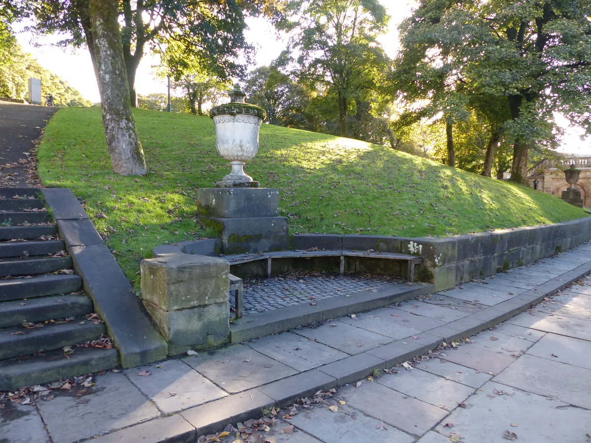
Buxton Pavilion Gardens
Buxton Pavilion Gardens is a Victorian landscaped public park in the spa town of Buxton in Derbyshire. The River Wye flows through the gardens, which are a Grade II* listed public park of Special Hist
 📷 3
📷 3Frequently asked questions
- Where is Pipewell Hall And Wall Attached To Right?
- Pipewell Hall And Wall Attached To Right is in the East Midlands, United Kingdom (postcode NN14 1QZ), in the parish of Rushton.
- What is Pipewell Hall And Wall Attached To Right?
- Pipewell Hall And Wall Attached To Right — a garden in england-west-midlands, United Kingdom.
- How do I get to Pipewell Hall And Wall Attached To Right?
- The nearest railway station is Corby, about 6.2 km away. The nearest town is Wilbarston. Drivers can use postcode NN14 1QZ.
- How do I get to Pipewell Hall And Wall Attached To Right?
- The nearest railway station is Corby, about 6.2 km away. Drivers can navigate to postcode NN14 1QZ.