
Islands · North West England
Piel Island
Piel Island — island in United Kingdom.

Wikimedia Commons contributors — see linked file page for photographer and licence licence

Plan your visit
- Typical visit
- 4 h–12 h
- Nearest railway station
- Roose · 5.8 km
- Free entry
- Dog-friendly
Getting there & planning your visit
To visit Piel Island, the nearest railway station is Roose, located 5.8 km away. The postcode for the island is LA13 0QN, which can be used for sat-nav coordinates. Entry to the island is free.
About
Piel Island is a island in the United Kingdom. Recent population estimates put it at around 10 people. Wikidata describes it as: "island in United Kingdom". Coordinates: 54.0638°, -3.1744°.
Photo gallery
Summary from the official site
Piel Castle is a 14th century fortress located on Piel Island, accessible only by a small ferry. Visitors can explore the well-preserved keep, inner and outer baileys, and the towered curtain walls, which stand as a testament to its historical significance.
Read more on the official property page.
Protected designations
- Site of Special Scientific Interest: South Walney and Piel Channel Flats SSSI
- Ramsar wetland: Morecambe Bay
Designations sourced from Natural England open data under OGL v3.
From the Wikipedia article
Piel Island lies in Morecambe Bay, around 1⁄2 mile (800 metres) off the southern tip of the Furness peninsula in the administrative county of Cumbria, England. It is one of the Islands of Furness, three of which sit near to Piel at the mouth of Walney Channel. The island is the location of Piel Castle, built by the monks of Furness Abbey in the fourteenth century. Historically within Lancashire, the island today is owned by the town of Barrow-in-Furness, having been given to the people by the Duke of Buccleuch in 1922. The council's administrative duties also include the selection of the "King" of Piel, who is the landlord of the island's public house, the Ship Inn. Piel is about 26 acres (11 hectares) in size. The landlord and their family and three others who live in the old Ship's pilots' cottages are the island's only permanent residents.
Excerpt from Wikipedia under CC BY-SA 4.0. See the source article linked in Sources below.
Background
History
]] In the Middle Ages Piel was known as Fowdray (or Fouldrey or Fowdrey) island. This name would seem to be derived from the Old Norse words ', meaning "fodder", and ' or ', meaning "island". The island was part of the Liberty of Furness, granted in 1066 to Earl Tostig, and 1127 it formed part of the Liberty that was granted by King Stephen to the Savignac monks as part of a land grant for an abbey. When the Savignacs became part of the Cistercian order later in the 12th century, the island came under the control of the Cistercians at nearby Furness Abbey. The Cistercians increased their power, and soon controlled the whole of the Furness, including Piel. 's 1805 painting Peele [sic] Castle…
Description
The origins of the Ship Inn are obscure; it is said to be over 300 years old, but the evidence is uncertain. In 1746 a lease for agricultural land situated within the castle ditch was granted to an Edward Postlethwaite, who is described as an innkeeper from the 'Pile of Fowdrey'. The earliest direct reference to an inn, or 'publick house', is in 1800. In 1813 a visitor painted a vivid picture of the life of the innkeeper at that time: The earliest map reference, in 1833, refers to the inn as 'The Herdhouse', and the first person who can confidently be identified as a landlord of the Ship Inn is James Hool as he is listed in the 1841 census as a publican. The landlord of the Ship Inn pub is…
Visiting
]] Being separated from neighbouring Roa Island by the Piel Channel, the island is accessible via a ferryboat from Roa Island pier during summer and subject to the tides and weather. Piel can be reached on foot or by off-road vehicle (licenses are required to drive on the sands) from Walney Island, but this route is only passable with care at low tide; local guidance is recommended. Piel Castle is managed by English Heritage and there is free, unlimited access once on the island. The castle, located on the southeast tip of Piel Island, is an impressive ruin made up largely of stones from the beach. The three-storey keep affords good views of the island although it is no longer accessible to…
Sourced from Wikipedia under CC BY-SA 4.0.
- Coordinates
- 54.0638, -3.1744
- District
- Westmorland and Furness
- Parish
- Barrow
- Postcode
- LA13 0QN
- Parliamentary constituency
- Barrow and Furness
- Phone
- 07798 794550
- Population
- 10
- Nearest railway station
- Roose — 5.8 km
- Opening
- Open any reasonable time during daylight hours; closed 24–26 Dec
- Official site
- www.english-heritage.org.uk
Sources
- wikidata: Q2092598 (CC0)
- wikipedia: Piel Island (CC BY-SA 4.0)
- commons: Piel Island and Castle, Barrow-in-Furness.jpg (CC BY-SA 4.0)
Other places nearby
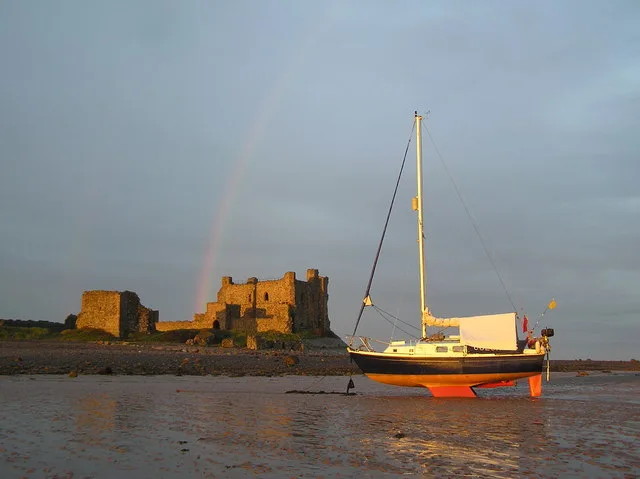
Piel Castle
Castles · 0.2 km

Watch Tower
Castles · 1.1 km
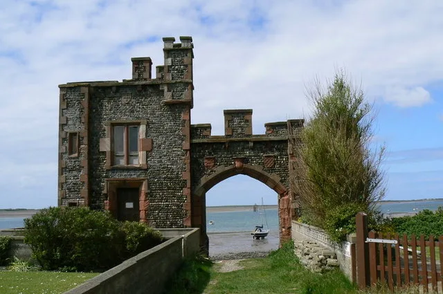
Roa Island
Islands · 1.3 km

Foulney Island
Islands · 1.5 km
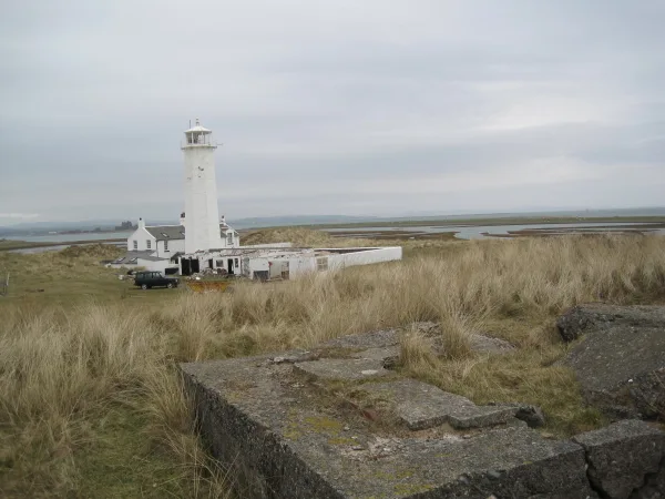
Walney Lighthouse With Two Attached Cottages And Outbuildings
Museums · 1.7 km

Sheep Island
Islands · 1.7 km
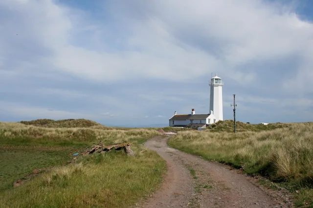
Walney Lighthouse
Lighthouses · 1.7 km

South Walney Nature Reserve
Forests & woodlands · 1.8 km

Rampside
Beaches · 2.2 km

The Concle Public House
Historic pubs · 2.3 km
Beacon Point Caravan Park
Caravan parks · 2.4 km

South End Caravan Park
Caravan parks · 2.5 km
Nearby
📷 5Castles · North West England
Piel Castle
Piel Castle — Grade I listed building in Cumbria, United Kingdom.
📷 5Flagship📷 3Islands · North West England
Roa Island
Roa Island — island in Morecambe Bay, Cumbria, England, UK.
📷 5📷 3Museums · North West England
Walney Lighthouse With Two Attached Cottages And Outbuildings
Walney Lighthouse With Two Attached Cottages And Outbuildings — buildings on Walney Island in Cumbria, England, UK.
📷 3Islands · North West England
Sheep Island
Sheep Island — island in Furness, Cumbria, United Kingdom.
Where to eat & stay near Piel Island
Places to stay
📷 5Caravan parks · North West England
Beacon Point Caravan Park
Beacon Point Caravan Park — a caravan park in england north west.
📷 5Caravan parks · North West England
South End Caravan Park
South End Caravan Park — a caravan park in england north west.
 📷 5
📷 5Caravan parks · North West England
White Hall Caravan Park Ltd
White Hall Caravan Park Ltd — a caravan park in england north west.
 📷 5
📷 5Caravan parks · North West England
Meadowlands Caravan Park
Meadowlands Caravan Park — a caravan park in england north west.
 📷 5
📷 5Caravan parks · North West England
High Farm Holiday Site
High Farm Holiday Site — a caravan park in england north west.
📷 5Caravan parks · North West England
Seacroft Caravan Park
Seacroft Caravan Park — a caravan park in england north west.
Places to eat & drink
📷 5Historic pubs · North West England
The Concle Public House
The Concle Public House in England North West, United Kingdom.
 📷 5
📷 5Historic pubs · North West England
Crofters Public House
Crofters Public House in England North West, United Kingdom.
 📷 5
📷 5Historic pubs · North West England
The Lord Ramsden Public House
The Lord Ramsden Public House in England North West, United Kingdom.
 📷 7
📷 7 📷 5
📷 5Historic pubs · North West England
Furness Abbey Hotel
Furness Abbey Hotel in England North West, United Kingdom.
 📷 5
📷 5Historic pubs · North West England
Chappells Tavern
Chappells Tavern in England North West, United Kingdom.
More places in this region
 Flagship📷 3
Islands · North West England
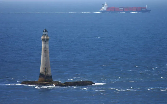
Chicken Rock
Chicken Rock — the southernmost island administered by the Isle of Man.
 Flagship📷 3
Islands · North West England
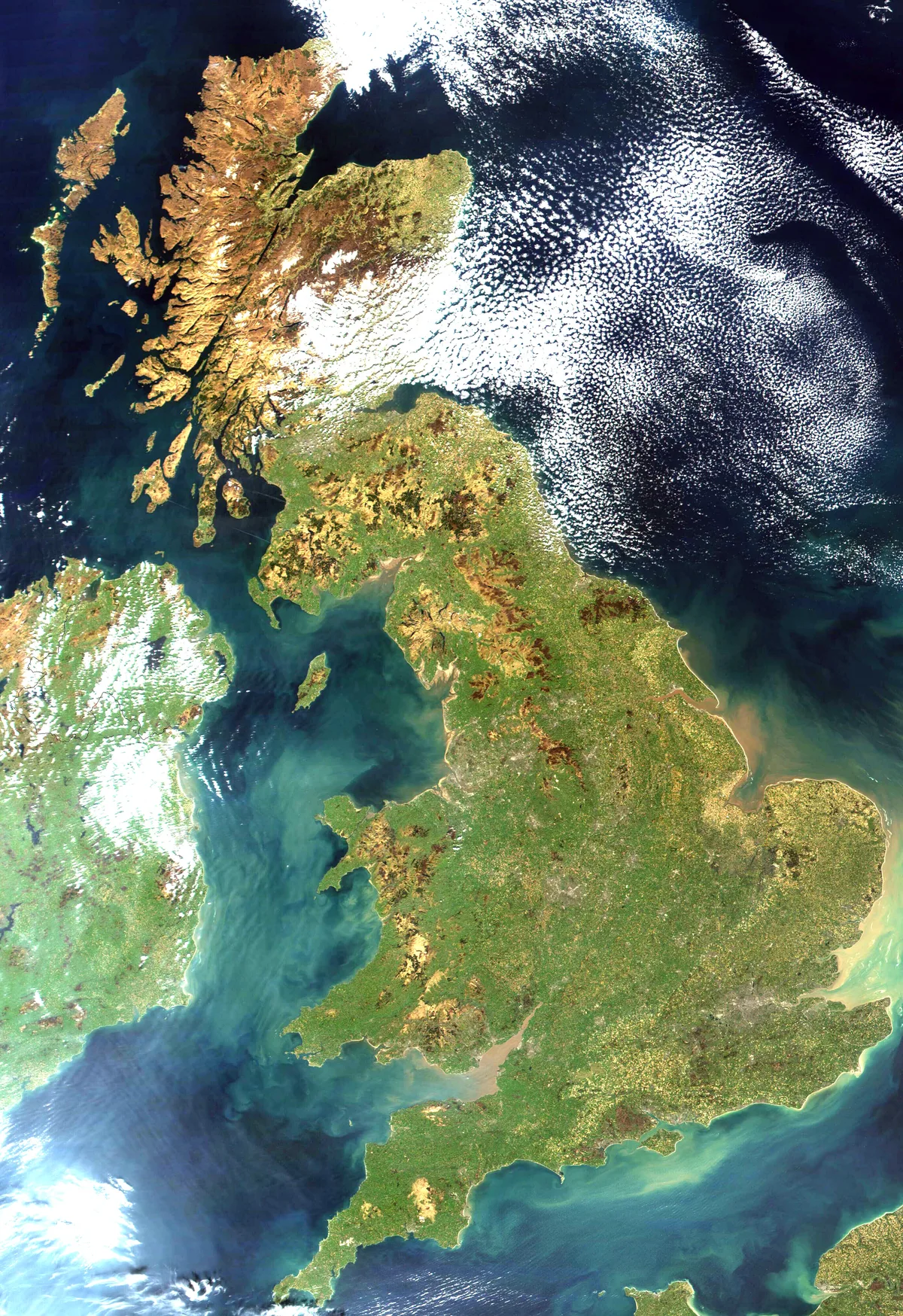
Great Britain
Great Britain — island in the North Atlantic Ocean off the northwest coast of continental Europe.
Flagship📷 3Islands · North West England
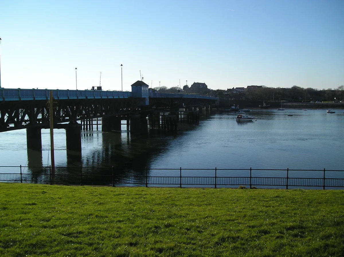
Roa Island
Roa Island — island in Morecambe Bay, Cumbria, England, UK.
 Flagship📷 5
Frequently asked questions
- Where is Piel Island?
- Piel Island is in North-West England, United Kingdom (postcode LA13 0QN), in the parish of Barrow.
- What is Piel Island?
- Piel Island — island in United Kingdom.
- How do I get to Piel Island?
- The nearest railway station is Roose, about 5.8 km away. Drivers can use postcode LA13 0QN.
- Is Piel Island a protected site?
- Yes — Piel Island is part of the South Walney and Piel Channel Flats SSSI Site of Special Scientific Interest and the Morecambe Bay Ramsar wetland.
- Is Piel Island free to visit?
- Yes, Piel Island is free to enter.
- How do I get to Piel Island?
- The nearest railway station is Roose, about 5.8 km away. Drivers can navigate to postcode LA13 0QN.