
Islands · North West England
Walney Island
In or near Haverigg.
Walney Island — island in Cumbria, England, UK.

Wikimedia Commons contributors — see linked file page for photographer and licence licence

Plan your visit
- Typical visit
- 4 h–12 h
- Nearest railway station
- Barrow-in-Furness · 2.3 km
- Free entry
- Dog-friendly
Getting there & planning your visit
To visit Walney Island, the nearest railway station is Barrow-in-Furness, located 2.3 km away. Entry to the island is free. The postcode for navigation is LA14 3BP.
About
Walney Island is a island in the United Kingdom. It covers approximately 13 km². Recent population estimates put it at around 13,000 people. Wikidata describes it as: "island in Cumbria, England, UK". Coordinates: 54.1039°, -3.2500°.
Photo gallery
Protected designations
- Site of Special Scientific Interest: South Walney and Piel Channel Flats SSSI
- Site of Special Scientific Interest: Duddon Estuary SSSI
- Ramsar wetland: Morecambe Bay
- Ramsar wetland: Duddon Estuary
Designations sourced from Natural England open data under OGL v3.
From the Wikipedia article
Walney Island, also known as the Isle of Walney, is an island off the west coast of England, at the western end of Morecambe Bay in the Irish Sea. The island is in Cumbria and is also located within the boundaries of the historic county of Lancashire. It is part of Barrow-in-Furness and is separated from the mainland by Walney Channel, which is spanned by the Jubilee Bridge. Walney is the largest island of the Furness Islands group, both in population and size, as well as the largest English island in the Irish Sea. Its population at the 2011 UK Census was 10,651, distributed evenly across the island's two Wards of Walney North and Walney South. Walney Island formed during the last glacial period, when the River Duddon was a large glacial lake, depositing till at its mouth, which became Walney. Some evidence of Neolithic inhabitants has been found in the island's sand dunes, though its name is likely of Norse origin. The island remained rural until the growth of Barrow-in-Furness' industries in the nineteenth century. In particular, the development between 1867 and 1881 of docks at Barrow Island, in Walney Channel opposite Walney, encouraged the growth of Walney as a settlement. The planned worker town of Vickerstown was built on the island in 1898, resulting in a large population increase, and the construction of Jubilee Bridge connected Walney to the mainland in 1908. Walney's contemporary population now forms about a fifth of the overall population of Barrow-in-Furness. The island contains two nature reserves, at either end, and its sandy beaches make it a popular leisure site.
Excerpt from Wikipedia under CC BY-SA 4.0. See the source article linked in Sources below.
Background
History
Excavations of sand dunes on Walney have revealed evidence of Late Neolithic/early Bronze Age settlements on the island, including a small amount of pottery. Low Furness was most extensively inhabited by Norse settlers, probably travelling from Ireland or the Isle of Man, which is reflected in many local place names, including Walney. During this time, Walney was largely pastoral, and remained so into the early Industrial Revolution: in his 1810-book Guide to the Lakes, William Wordsworth describes seeing "Walney's early fields of corn" from the summit of Black Combe. However, Walney was soon caught up in the rapid expansion of industry at Barrow-in-Furness. Barrow docks were built on…
Sourced from Wikipedia under CC BY-SA 4.0.
- Coordinates
- 54.1039, -3.2500
- District
- Westmorland and Furness
- Parish
- Barrow
- Postcode
- LA14 3BP
- Parliamentary constituency
- Barrow and Furness
- Population
- 13,000
- Nearest railway station
- Barrow-in-Furness — 2.3 km
Sources
- wikidata: Q494853 (CC0)
- wikipedia: Walney Island (CC BY-SA 4.0)
- commons: Jubilee.JPG (CC BY-SA 4.0)
Other places nearby

Vickerstown
Villages · 0.1 km

Walney Theatre
Theatres · 0.3 km
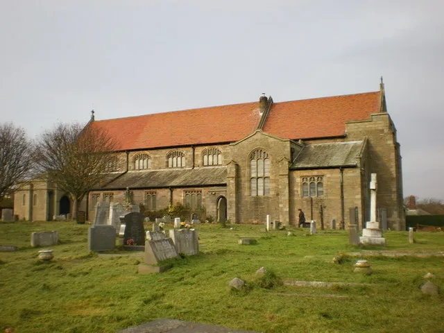
St Mary the Virgin's Church, Walney
Historic churches · 0.4 km

Walney Bridge
Historic bridges · 0.6 km

The Dock Museum
Museums · 1.1 km
Dock Museum
Museums · 1.1 km

VSEL Heavy Engineering Workshop
Historic houses · 1.3 km
Osborne Theatre
Theatres · 1.3 km

Vue
Cinemas · 1.4 km
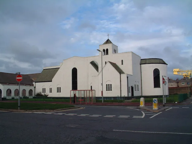
St John's Church
Historic churches · 1.4 km

Vue Barrow
Theatres · 1.5 km

Custom House
Restaurants · 1.5 km
Nearby
📷 5📷 3📷 3Historic churches · North West England
St Mary the Virgin's Church, Walney
St Mary the Virgin's Church, Walney — church at Walney Island, Barrow-in-Furness. Cumbria, England, UK.
📷 3Historic bridges · North West England
Walney Bridge
Walney Bridge is a historic bridge in the United Kingdom.
📷 3Museums · North West England
The Dock Museum
The Dock Museum — a museum in North West England, United Kingdom.
📷 5Museums · North West England
Dock Museum
The Dock Museum is situated in Barrow-in-Furness, Cumbria, England. Most of its exhibits concern the history of the town, focusing on the shipbuilding industry at VSEL (now BAE Systems), the steelwork
Where to eat & stay near Walney Island
Places to stay
 📷 5
📷 5Caravan parks · North West England
West Shore Caravan Park
West Shore Caravan Park — a caravan park in england north west.
 📷 5
📷 5 📷 5
📷 5Hotels · North West England
Abbey House
Abbey House — a hotel in england north west.
 📷 5
📷 5Caravan parks · North West England
Beacon Point Caravan Park
Beacon Point Caravan Park — a caravan park in england north west.
 📷 5
📷 5Caravan parks · North West England
South End Caravan Park
South End Caravan Park — a caravan park in england north west.
 📷 5
📷 5Caravan parks · North West England
White Hall Caravan Park Ltd
White Hall Caravan Park Ltd — a caravan park in england north west.
Places to eat & drink
📷 7 📷 5
📷 5Historic pubs · North West England
The Lord Ramsden Public House
The Lord Ramsden Public House in England North West, United Kingdom.
 📷 5
📷 5Historic pubs · North West England
Crofters Public House
Crofters Public House in England North West, United Kingdom.
 📷 5
📷 5Historic pubs · North West England
Furness Abbey Hotel
Furness Abbey Hotel in England North West, United Kingdom.
📷 5Historic pubs · North West England
The Concle Public House
The Concle Public House in England North West, United Kingdom.
 📷 5
📷 5Historic pubs · North West England
Chappells Tavern
Chappells Tavern in England North West, United Kingdom.
More places in this region
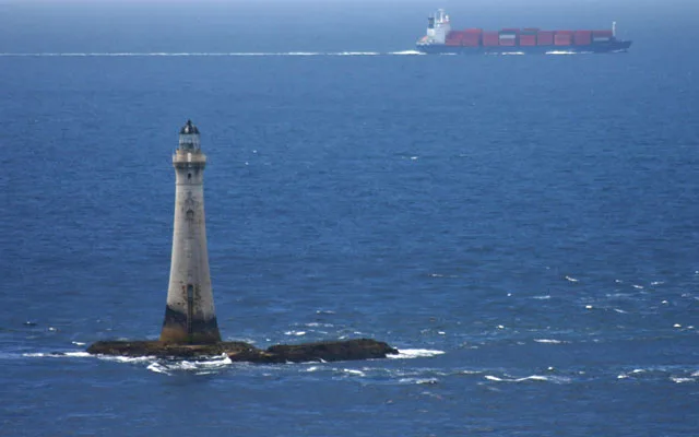 Flagship📷 3
Islands · North West England
Chicken Rock
Chicken Rock — the southernmost island administered by the Isle of Man.
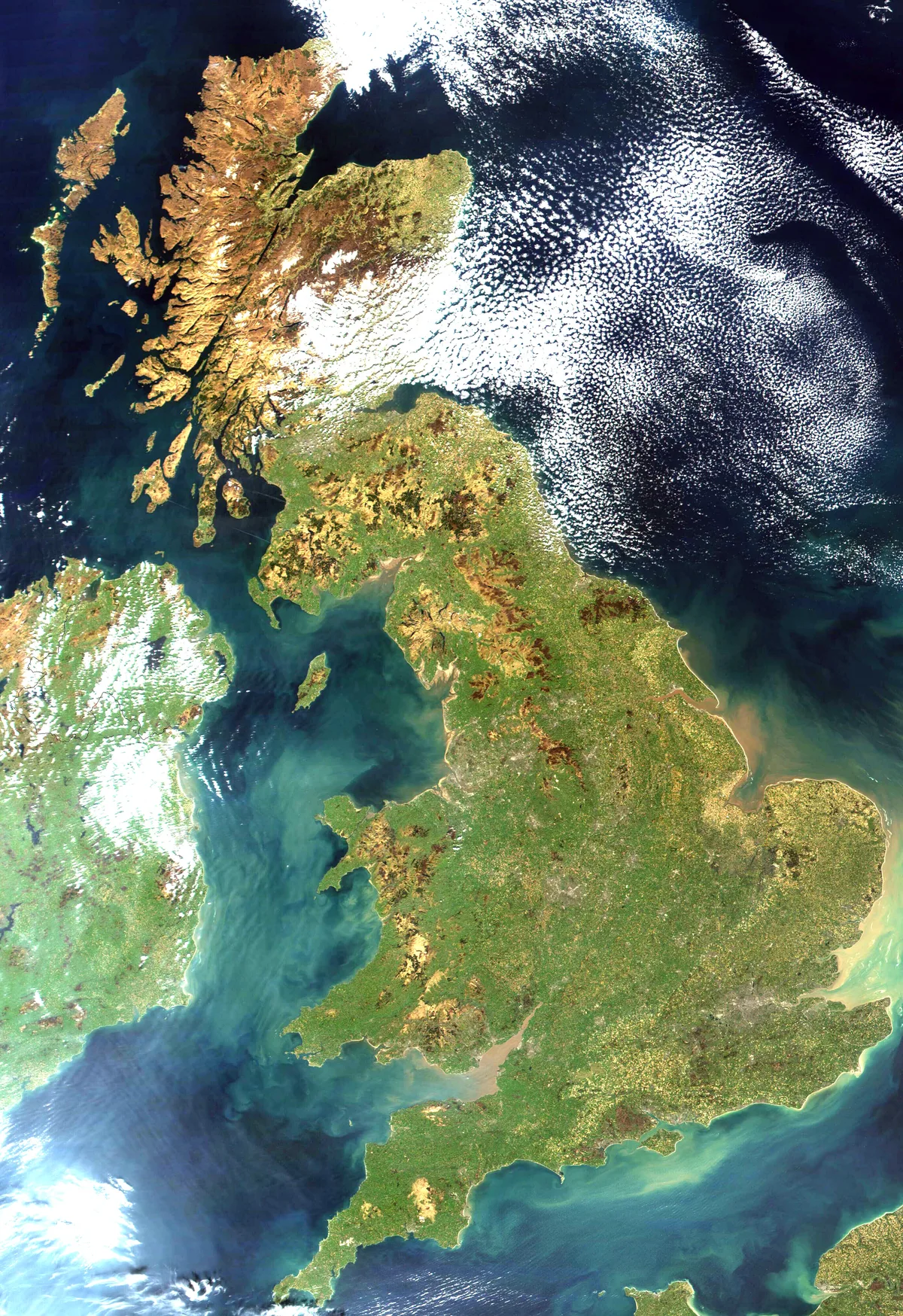 Flagship📷 3
Islands · North West England
Great Britain
Great Britain — island in the North Atlantic Ocean off the northwest coast of continental Europe.
 Flagship📷 3
Islands · North West England
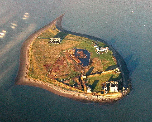
Piel Island
Piel Island — island in United Kingdom.
 Flagship📷 3
Islands · North West England
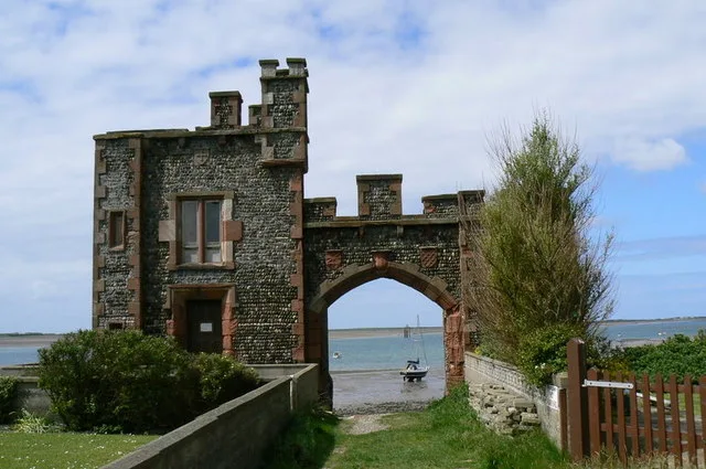
Roa Island
Roa Island — island in Morecambe Bay, Cumbria, England, UK.
Frequently asked questions
- Where is Walney Island?
- Walney Island is in North-West England, United Kingdom (postcode LA14 3BP), in the parish of Barrow.
- What is Walney Island?
- Walney Island — island in Cumbria, England, UK.
- How do I get to Walney Island?
- The nearest railway station is Barrow-in-Furness, about 2.3 km away. The nearest town is Haverigg. Drivers can use postcode LA14 3BP.
- Is Walney Island a protected site?
- Yes — Walney Island is part of the South Walney and Piel Channel Flats SSSI Site of Special Scientific Interest and the Duddon Estuary SSSI Site of Special Scientific Interest.
- Is Walney Island free to visit?
- Yes, Walney Island is free to enter.
- How do I get to Walney Island?
- The nearest railway station is Barrow-in-Furness, about 2.3 km away. Drivers can navigate to postcode LA14 3BP.