
Archaeological sites · East of England
Philipshill Wood
In or near Chalfont St Giles.
Philipshill Wood is a archaeological site in the United Kingdom.

Wikimedia Commons licence
Plan your visit
- Typical visit
- 45 min–1.5 h
- Nearest railway station
- Chorleywood · 2.1 km
- Free entry
- Dog-friendly
Getting there & planning your visit
To visit Philipshill Wood, the nearest railway station is Chorleywood, located 2.1 km away. The postcode for sat-nav is WD3 5BG. Entry to the site is free.
About
Philipshill Wood is an archaeological site in the United Kingdom. Coordinates: 51.6410°, -0.5400°. This entry is part of The Great Britain Guide, a free, ad-free, open-data tourist directory.
Photo gallery
Protected designations
- Area of Outstanding Natural Beauty: Chilterns
Designations sourced from Natural England open data under OGL v3.
From the Wikipedia article
Philipshill Wood is a 77-acre (31 ha) area of woodland in the English county of Buckinghamshire, situated on the border with Hertfordshire about 1 mile (1.6 km) from the village of Chorleywood. It is within the Chiltern Hills Area of Outstanding Natural Beauty, and is owned by the Woodland Trust. The wood is fully open to the public, with some parking available in Old Shire Lane, to the east of the wood.
Excerpt from Wikipedia under CC BY-SA 4.0. See the source article linked in Sources below.
Background
History
Philipshill Wood is an ancient woodland, although it has been cleared and replanted several times during its history. Historic human management of the wood is evidenced by archaeological features such as earthworks and the remains of sawpits, chalk pits and a charcoal hearth. Old Shire Lane on the eastern edge of the wood is thought to mark part of the boundary between the Anglo-Saxon kingdoms of Wessex and Mercia.
Sourced from Wikipedia under CC BY-SA 4.0.
- Coordinates
- 51.6410, -0.5400
- County
- Hertfordshire
- District
- Three Rivers
- Parish
- Chorleywood
- Postcode
- WD3 5BG
- Parliamentary constituency
- South West Hertfordshire
- Nearest railway station
- Chorleywood — 2.1 km
Sources
- wikidata: Q7185548 (CC0)
- wikipedia: Philipshill Wood (CC BY-SA 4.0)
Other places nearby
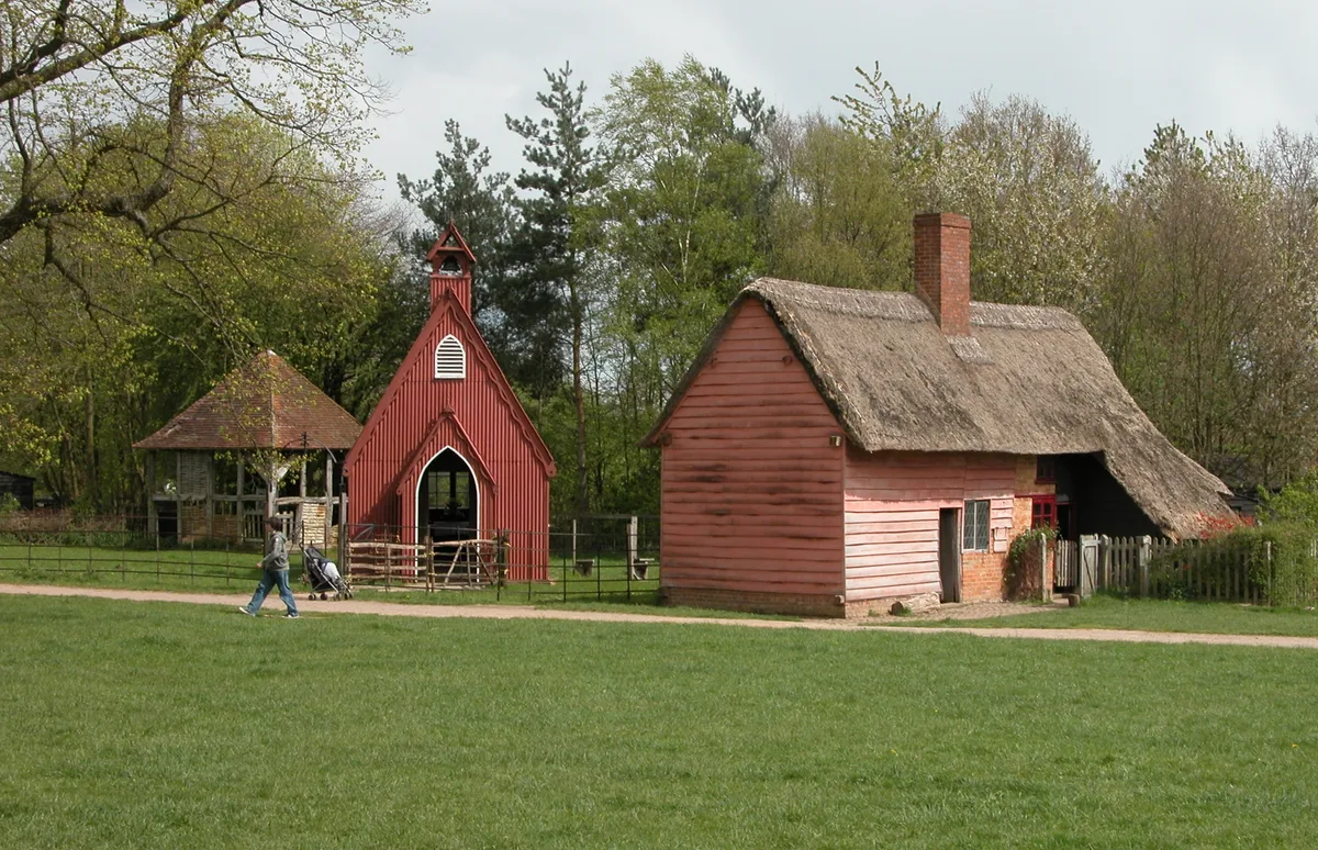
Chiltern Open Air Museum
Museums · 0.5 km

Chorleywood West
Villages · 1.1 km

Village Art Phone Box
Public art & sculpture · 2.0 km

Diogenes Sun Club
Campsites · 2.1 km

Riverside Path
Memorials & monuments · 2.2 km

Parish Church of St Giles, Chalfont St Giles
Historic churches · 2.3 km

Chorleywood
Museums · 2.3 km

Saddlers House The Feathers Public House
Historic pubs · 2.4 km

Milton's Cottage
Museums · 2.5 km

Chorleywood Common
Forests & woodlands · 2.6 km

Honey Bee
Public art & sculpture · 2.7 km

Bowstridge Lane Cemetery
Cemeteries · 2.7 km
Nearby
📷 4Museums · East of England
Chiltern Open Air Museum
Chiltern Open Air Museum — Museum in the Chiltern Hills, United Kingdom.
📷 5📷 3Public art & sculpture · London
Village Art Phone Box
Village Art Phone Box — a public art in London, United Kingdom.
📷 5Campsites · East of England
Diogenes Sun Club
Diogenes Sun Club — a campsite in england west midlands.
📷 4Memorials & monuments · East of England
Riverside Path
Riverside Path — a memorial in East of England, United Kingdom.
📷 3Historic churches · East of England
Parish Church of St Giles, Chalfont St Giles
Parish Church of St Giles, Chalfont St Giles — church in Chiltern, UK.
Where to eat & stay near Philipshill Wood
Places to stay
📷 5Campsites · East of England
Diogenes Sun Club
Diogenes Sun Club — a campsite in england west midlands.
 📷 5
📷 5Caravan parks · London
North Hill Farm RV Park
North Hill Farm RV Park — a caravan park in england west midlands.
 📷 5
📷 5Campsites · London
North Hill Farm Campsite
North Hill Farm Campsite — a campsite in england west midlands.
📷 5Campsites · London
North Hill Farm Overflow Camp Site
North Hill Farm Overflow Camp Site — a campsite in england west midlands.
 📷 5
📷 5Campsites · East of England
Highclere Farm Campsite
Highclere Farm Campsite — a campsite in england west midlands.
 📷 5
📷 5Campsites · East of England
Paccar Scout Camp
Paccar Scout Camp — a campsite in england west midlands.
Places to eat & drink
📷 7Historic pubs · East of England
Saddlers House The Feathers Public House
Saddlers House The Feathers Public House in England East, United Kingdom.
 📷 5
📷 5Historic pubs · London
The Whip And Collar Public House
The Whip And Collar Public House in England London, United Kingdom.
 📷 5
📷 5 📷 5
📷 5 📷 7
📷 7Restaurants · South East England
The Griffin
The Griffin — a restaurant in england west midlands.
 📷 7
📷 7More archaeological sites in this region
 Flagship📷 10
Archaeological sites · East of England
Nunn Wood
Nunn Wood — woods in Essex, England, a Site of Special Scientific Interest.
 📷 5
📷 5Archaeological sites · East of England
A Bronze Age post alignment and timber platform at Flag Fen and associated Bronze Age and later field systems and settlement to
A Bronze Age post alignment and timber platform at Flag Fen and associated Bronze Age and later field systems and settlement to — archaeological site in Thorney, City of Peterborough, England, UK.
 📷 5
📷 5Archaeological sites · East of England
Causewayed enclosure 900m west of Great Wilbraham parish church
Causewayed enclosure 900m west of Great Wilbraham parish church — archaeological site in Great Wilbraham, South Cambridgeshire, England, UK.
 📷 5
📷 5Archaeological sites · East of England
Dray's Ditches
Dray's Ditches — archaeological site in Streatley, Central Bedfordshire, England, UK.
Frequently asked questions
- Where is Philipshill Wood?
- Philipshill Wood is in Hertfordshire, East of England, United Kingdom (postcode WD3 5BG), in the parish of Chorleywood.
- What is Philipshill Wood?
- Philipshill Wood is a archaeological site in the United Kingdom.
- How do I get to Philipshill Wood?
- The nearest railway station is Chorleywood, about 2.1 km away. The nearest town is Chalfont St Giles. Drivers can use postcode WD3 5BG.
- Who owns Philipshill Wood?
- Philipshill Wood is owned by Woodland Trust.
- Is Philipshill Wood a protected site?
- Yes — Philipshill Wood is part of the Chilterns National Landscape (AONB).
- Is Philipshill Wood free to visit?
- Yes, Philipshill Wood is free to enter.
- How do I get to Philipshill Wood?
- The nearest railway station is Chorleywood, about 2.1 km away. Drivers can navigate to postcode WD3 5BG.