
Castles · East Midlands
Peveril Castle
In or near Edale.
Peveril Castle — castle in Castleton, Derbyshire, England, UK.

Wikimedia Commons contributors — see linked file page for photographer and licence licence

Plan your visit
- Typical visit
- 1.5 h–3 h
- Nearest railway station
- Hope · 3.2 km
- Paid entry
- Family-friendly
- Limited wheelchair access
Getting there & planning your visit
To visit Peveril Castle, the nearest railway station is Hope, located 3.2 km away. Entry is paid, and wheelchair accessibility is limited. The postcode for sat-nav is S33 8WS.
About
Peveril Castle is a castle in the United Kingdom — fortified architecture from the medieval, Tudor, or Victorian-revival period. Records date its origin to 1080. Heritage designation: scheduled monument. Owned by English Heritage. Managed by English Heritage. Wikidata describes it as: "castle in Castleton, Derbyshire, England, UK". Coordinates: 53.3402°, -1.7772°.
Photo gallery
Heritage listing
Peveril Castle (also Castleton Castle or Peak Castle) is a ruined 11th-century castle overlooking the village of Castleton in the English county of Derbyshire. It was the main settlement (or caput) of the feudal barony of William Peverel, known as the Honour of Peverel, and was founded some time between the Norman Conquest of 1066 and its first recorded mention in the Domesday Survey of 1086, by Peverel, who held lands in Nottinghamshire and Derbyshire as a tenant-in-chief of the king. The town became the economic centre of the barony. The castle has views across the Hope Valley and Cave Dale. William Peveril the Younger inherited his father's estates, but in 1155 they were confiscated by King Henry II.
From the Historic England List Entry under OGL v3.
From English Heritage
Spectacular hilltop castle that’s well worth the climb, Peveril Castle offers breathtaking views of the Peak District from its position high above Castleton.
Read more on the official property page.
Protected designations
- Site of Special Scientific Interest: Castleton SSSI
Designations sourced from Natural England open data under OGL v3.
From the Wikipedia article
Peveril Castle (also Castleton Castle or Peak Castle) is a ruined 11th-century castle overlooking the village of Castleton in the English county of Derbyshire. It was the main settlement (or caput) of the feudal barony of William Peverel, known as the Honour of Peverel, and was founded some time between the Norman Conquest of 1066 and its first recorded mention in the Domesday Survey of 1086, by Peverel, who held lands in Nottinghamshire and Derbyshire as a tenant-in-chief of the king. The town became the economic centre of the barony. The castle has views across the Hope Valley and Cave Dale. William Peveril the Younger inherited his father's estates, but in 1155 they were confiscated by King Henry II. While in royal possession, Henry visited the castle in 1157, 1158, and 1164, the first time hosting King Malcolm IV of Scotland. During the Revolt of 1173–1174, the castle's garrison was increased from a porter and two watchmen to a force led by twenty knights shared with the castles of Bolsover and Nottingham. The Earls of Derby had a claim to the Peveril family's estates through marriage, and in 1199 William de Ferrers, the fourth earl, paid 2,000 marks for the Peak lordship, although the castle remained under royal control. The closest Peveril Castle came to seeing battle was in 1216, when King John gave the castle to William de Ferrers, but the castellan refused to relinquish control. Although they were both John's supporters, the king authorised the earl to use force to evict the castellan, who eventually capitulated, although there is no evidence that the castle was assaulted. In 1223 the castle returned to the Crown. In the 13th century there were periods of building work at the castle, and by 1300 its final form had been established. Toward the end of the 14th century, the barony was granted to John of Gaunt, Duke of Lancaster. Having little use for the castle, he ordered some of its material to be stripped out for re-use, marking the beginning of its…
Excerpt from Wikipedia under CC BY-SA 4.0. See the source article linked in Sources below.
Background
History
Peveril Castle stands on a limestone outcrop overlooking the west end of Hope Valley, in the midst of an ancient landscape. Overlooking the head of the valley, 2 km to the west, is Mam Tor, a Bronze Age hill fort, and 2 mi to the east at Brough-on-Noe is the Roman fort of Navio. The valley formed a natural line of communication and had extra importance due to valuable mineral resources in the area, particularly lead.
Architecture
Peveril Castle in Castleton is roughly triangular in shape, about 90 by, on top of a hill overlooking the Hope Valley. The land slopes steeply away from the castle's perimeter, forming an almost sheer face to the south east, and the winding approach from the north is the most practical way to the castle. Not only was the site naturally defensible, but its prominence would have allowed the castle to be a highly visible symbol of the builder's power. The town of Castleton provided supplies to the castle. It commands views of Hope Valley below and Treak Cliff, Mam Tor, Black Tor, and Lose Hill. The castle was entered through the gatehouse to the east. Its design was simple, 7 m wide with a…
Description
John of Gaunt's ownership marked the start of Peveril Castle's decline. He was the richest nobleman in England and held several castles. As Peveril Castle was relatively unimportant, John decided not to maintain it and in 1374 gave orders to strip the lead from the buildings for re-use at Pontefract Castle. It was inherited by his son Henry Bolingbroke, later King Henry IV, and remained under royal control, administered by the Duchy of Lancaster. During the 15th century, Peveril became less important as administrative functions were moved elsewhere. Although other castles administered by the Duchy of Lancaster were repaired in 1480, there is no indication that this happened at Peveril. The…
Sourced from Wikipedia under CC BY-SA 4.0.
- Coordinates
- 53.3402, -1.7772
- County
- Derbyshire
- District
- High Peak
- Parish
- Castleton
- Postcode
- S33 8WS
- Parliamentary constituency
- High Peak
- Phone
- 01433 620613
- Established
- 1080
- Nearest railway station
- Hope — 3.2 km
- Opening
- Daily 10am–5pm; last entry at 4.15pm
- Official site
- www.english-heritage.org.uk
Sources
- wikidata: Q255574 (CC0)
- wikipedia: Peveril Castle (CC BY-SA 4.0)
- commons: Peveril Castle keep, 2009.jpg (CC BY-SA 4.0)
Other places nearby

Devil's Arse (Peak Cavern)
Caves · 0.1 km

Peakshole Sough
Caves · 0.1 km

Peveril Castle Visitor Centre
Castles · 0.2 km

Roll of Honour
Memorials & monuments · 0.2 km

Peakshole Water
Mountains & hills · 0.2 km

Castleton War Memorial
Memorials & monuments · 0.2 km
Roll of Honour
Memorials & monuments · 0.2 km

Toll Bar Cottage
Memorials & monuments · 0.3 km

Castleton Town Defences
Castles · 0.3 km

Castleton
Villages · 0.4 km

Castleton Village Museum
Museums · 0.4 km
Technical Speleological Group
Hostels · 0.4 km
Nearby
📷 5Caves · East Midlands
Devil's Arse (Peak Cavern)
Devil's Arse (Peak Cavern) is a cave in the United Kingdom.
📷 5Caves · East Midlands
Peakshole Sough
Peakshole Sough — a cave broad in england-east-midlands, United Kingdom.
📷 3Castles · East Midlands
Peveril Castle Visitor Centre
Peveril Castle Visitor Centre — a castle in East Midlands, United Kingdom.
📷 3Memorials & monuments · East Midlands
Roll of Honour
Roll of Honour is a memorial in the United Kingdom.
📷 4Mountains & hills · East Midlands
Peakshole Water
Peakshole Water is a stream in the Derbyshire Peak District of England, named after its source, Peak Cavern. It flows through the village of Castleton to join the River Noe in nearby Hope. Despite its
📷 3Memorials & monuments · East Midlands
Castleton War Memorial
Castleton War Memorial is a memorial in the United Kingdom.
Where to eat & stay near Peveril Castle
Places to stay
📷 5Hostels · East Midlands
Technical Speleological Group
Technical Speleological Group — a hostel in england east midlands.
 📷 5
📷 5Caravan parks · East Midlands
Castleton Caravan and Motorhome Club Site
Castleton Caravan and Motorhome Club Site — a caravan park in england east midlands.
 📷 5
📷 5Campsites · East Midlands
YHA Castleton Losehill Hall
YHA Castleton Losehill Hall — a campsite in england east midlands.
 📷 5
📷 5Hostels · East Midlands
YHA Castleton Losehill Hall
YHA Castleton Losehill Hall — a hostel in england east midlands. Brand: Youth Hostels Association.
📷 5 📷 5
📷 5Campsites · East Midlands
Rowter Farm Campsite
Rowter Farm Campsite — a campsite in england east midlands.
Places to eat & drink
 📷 5
📷 5Historic pubs · East Midlands
The Old Nags Head
The Old Nags Head in England Yorkshire, United Kingdom.
 📷 7
📷 7Historic pubs · East Midlands
The Three Stags' Heads
The Three Stags' Heads in England South East, United Kingdom.
 📷 5
📷 5Historic pubs · East Midlands
The Chequers Inn and attached outbuildings
The Chequers Inn and attached outbuildings in England East Midlands, United Kingdom.
 📷 7
📷 7Historic pubs · Yorkshire & the Humber
The Fox House
The Fox House in England Yorkshire, United Kingdom.
 📷 5
📷 5 📷 5
📷 5Historic pubs · East Midlands
The Eyre Arms Public House
The Eyre Arms Public House in England East Midlands, United Kingdom.
More places run by English Heritage
 Flagship📷 10
Museums · London
Kenwood House
Kenwood House — art museum and historic house in Hampstead, London.
 📷 5
📷 5Galleries · London
Apsley House
Apsley House — London townhouse of the Dukes of Wellington.
 📷 5
📷 5Castles · London
Eynsford Castle
Eynsford Castle — castle, now ruinous, in Eynsford, Kent, England, UK.
 📷 5
📷 5Museums · London
Jewel Tower
Jewel Tower — medieval tower in Westminster, London, England, UK.
Other castles from this era
 📷 5
📷 5Castles · South East England
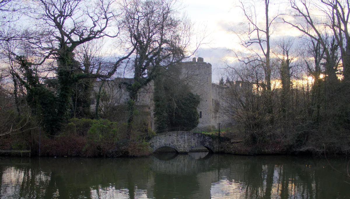
Allington Castle
Allington Castle — stone-built moated castle in Allington, England.
 📷 5
📷 5Castles · South East England
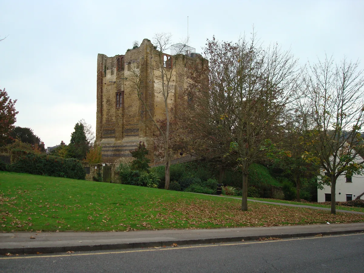
Guildford Castle
Guildford Castle — castle in Guildford, Surrey, England, UK.
 📷 5
📷 5Castles · South East England
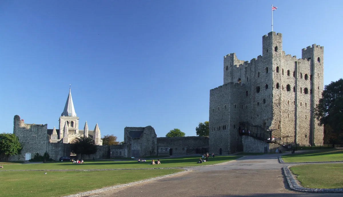
Rochester Castle
Rochester Castle — castle in Rochester, Kent, South East England.
 📷 5
📷 5Castles · South East England
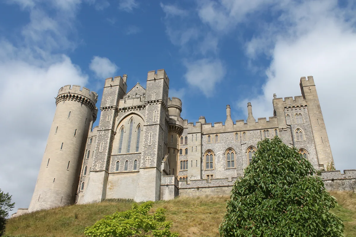
Arundel Castle
Arundel Castle — castle in West Sussex, England, UK.
More castles in this region
 📷 4
📷 4Castles · East Midlands
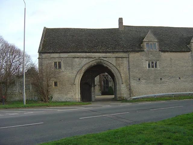
Maxey Castle
Maxey Castle — castle, now ruinous, in Maxey, Cambridgeshire, England, UK.
 📷 5
📷 5Castles · East Midlands
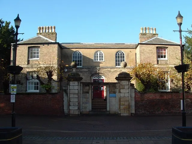
Northborough Manor House
Northborough Manor House — Grade I listed house in Northborough, Peterborough, Cambridgeshire, England, UK.
 📷 5
📷 5Castles · East Midlands
Wisbech Castle
Wisbech Castle — former castle in Wisbech, Cambridgeshire, England.
 📷 5
📷 5Castles · East Midlands
Site of Stamford Castle
Site of Stamford Castle — a castle in East Midlands, United Kingdom.
Frequently asked questions
- Where is Peveril Castle?
- Peveril Castle is in Derbyshire, the East Midlands, United Kingdom (postcode S33 8WS), in the parish of Castleton.
- What is Peveril Castle?
- Peveril Castle — castle in Castleton, Derbyshire, England, UK.
- How do I get to Peveril Castle?
- The nearest railway station is Hope, about 3.2 km away. The nearest town is Edale. Drivers can use postcode S33 8WS.
- When was Peveril Castle built?
- Built or established in 1080.
- Who runs Peveril Castle?
- Peveril Castle is operated by English Heritage.
- Is Peveril Castle a listed building?
- Peveril Castle is officially recognised as scheduled monument listed.
- Is Peveril Castle a protected site?
- Yes — Peveril Castle is part of the Castleton SSSI Site of Special Scientific Interest.
- Does Peveril Castle charge admission?
- Peveril Castle typically charges admission. Check the official site for current ticket prices and opening hours.