
Hill forts · Yorkshire & the Humber
Petuaria
In or near Swanland.
Petuaria — Roman fort on the site of Brough in the East Riding of Yorkshire, England.

Wikimedia Commons contributors — see linked file page for photographer and licence licence

Plan your visit
- Typical visit
- 1 h–2 h
- Nearest railway station
- Brough · 0.2 km
- Free entry
- Dog-friendly
- Wheelchair accessible
Getting there & planning your visit
To visit Petuaria, the nearest railway station is Brough, which is 0.2 km away. Entry is free, and the site is wheelchair accessible. The postcode for sat-nav is HU15 1AU.
About
Petuaria is a hill fort in the United Kingdom. Wikidata describes it as: "Roman fort on the site of Brough in the East Riding of Yorkshire, England". Coordinates: 53.7280°, -0.5760°.
Photo gallery
Protected designations
- Site of Special Scientific Interest: Humber Estuary - 2000480 SSSI
- Ramsar wetland: Humber Estuary
Designations sourced from Natural England open data under OGL v3.
From the Wikipedia article
Petuaria (or Petuaria Parisorum) was originally a Roman fort situated where the town of Brough in the East Riding of Yorkshire now stands. Petuaria means something like 'quarter' or 'fourth part', incorporating the archaic Brythonic *petuar, 'four' (compare modern Welsh pedwar). It was founded in 70 AD and abandoned in about 125. The adjacent civitas (civil town), ferry-crossing and (attested) port which grew over and replaced the fort survived until about 370, and was probably the capital of the Celtic tribe called the Parisi. Petuaria marked the southern end of the Roman road known now as Cade's Road, which ran roughly northwards for a hundred miles to Pons Aelius (modern day Newcastle upon Tyne). The section from Petuaria to Eboracum (York) was also the final section of Ermine Street.
Excerpt from Wikipedia under CC BY-SA 4.0. See the source article linked in Sources below.
- Coordinates
- 53.7280, -0.5760
- District
- East Riding of Yorkshire
- Parish
- Elloughton-cum-Brough
- Postcode
- HU15 1AU
- Parliamentary constituency
- Goole and Pocklington
- Nearest railway station
- Brough — 0.2 km
Sources
- wikidata: Q7179412 (CC0)
- wikipedia: Petuaria (CC BY-SA 4.0)
- commons: HER Museum 6 July 2018 Petuaria 3.jpg (CC BY-SA 4.0)
Other places nearby

Brough War Memorial, East Riding of Yorkshire
Memorials & monuments · 0.3 km

The Buccaneer Public House
Historic pubs · 0.3 km

Elloughton
Villages · 1.2 km

Welton Manor
Manor houses · 1.8 km

Brantingham Thorpe
Gardens · 2.5 km

Outdoor Seating Area
Natural landmarks · 2.6 km

Brantingham War Memorial and Screen Wall
Memorials & monuments · 2.7 km
.jpg?width=1200)
The Raikes Mausoleum
Follies · 3.5 km

Wandahome
Caravan parks · 3.7 km

Wauldby
Villages · 3.7 km

Wauldby
Vineyards · 4.1 km

Winteringham War Memorial
Memorials & monuments · 4.6 km
Nearby
📷 3Memorials & monuments · Yorkshire & the Humber
Brough War Memorial, East Riding of Yorkshire
Brough War Memorial, East Riding of Yorkshire — Grade II listed building-listed memorial in england-yorkshire, United Kingdom.
📷 5Historic pubs · Yorkshire & the Humber
The Buccaneer Public House
The Buccaneer Public House in England Yorkshire, United Kingdom.
📷 5📷 3Manor houses · Yorkshire & the Humber
Welton Manor
Welton Manor — Grade II listed building-listed manor in england-yorkshire, United Kingdom.
📷 4Gardens · Yorkshire & the Humber
Brantingham Thorpe
Brantingham Thorpe — a garden in england-yorkshire, United Kingdom.
📷 3Natural landmarks · Yorkshire & the Humber
Outdoor Seating Area
Outdoor Seating Area — a place in Yorkshire & the Humber, United Kingdom.
Where to eat & stay near Petuaria
Places to stay
📷 5 📷 5
📷 5 📷 5
📷 5Campsites · Yorkshire & the Humber
Raywell Park
Raywell Park — a campsite in england yorkshire.
 📷 5
📷 5Caravan parks · Yorkshire & the Humber
Raywell Hall Country Lodge Park
Raywell Hall Country Lodge Park — a caravan park in england yorkshire.
 📷 5
📷 5Caravan parks · Yorkshire & the Humber
College Farm Caravan Park
College Farm Caravan Park — a caravan park in england yorkshire.
 📷 5
📷 5Caravan parks · Yorkshire & the Humber
Silver Birch Holiday Home Park
Silver Birch Holiday Home Park — a caravan park in england yorkshire.
Places to eat & drink
📷 5Historic pubs · Yorkshire & the Humber
The Buccaneer Public House
The Buccaneer Public House in England Yorkshire, United Kingdom.
 📷 7
📷 7Historic pubs · Yorkshire & the Humber
Fox And Coney Public House
Fox And Coney Public House in England Yorkshire, United Kingdom.
 📷 5
📷 5Historic pubs · Yorkshire & the Humber
The Cross Keys
The Cross Keys in England Yorkshire, United Kingdom.
 📷 5
📷 5Restaurants · Yorkshire & the Humber
Papa's Fish and Chips
Papa's Fish and Chips — a restaurant in england yorkshire. Cuisine: fish;fish and chips;chips. Brand: Papa's.
 📷 6
📷 6Historic pubs · Yorkshire & the Humber
The Tiger Public House
The Tiger Public House in England Yorkshire, United Kingdom.
 📷 5
📷 5Historic pubs · Yorkshire & the Humber
St. George's Hotel
St. George's Hotel in England Yorkshire, United Kingdom.
More places in this region
 Flagship📷 3
Hill forts · Yorkshire & the Humber
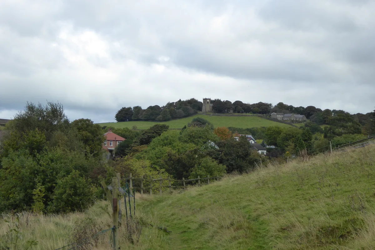
Mellor hill fort
Mellor hill fort — prehistoric site in North West England.
 📷 3
📷 3Hill forts · Yorkshire & the Humber
Stockport Castle
Stockport Castle — former motte-and-bailey castle in Stockport, Cheshire.
 📷 3
📷 3Hill forts · Yorkshire & the Humber
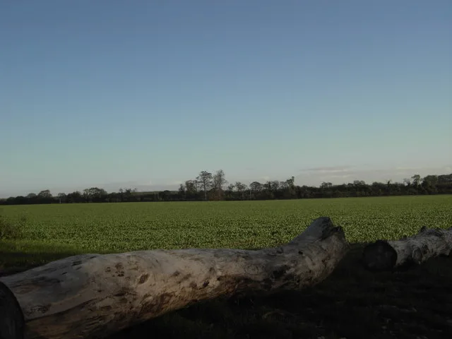
Aberford Dykes
Aberford Dykes — series of archaeological earthworks.
 📷 3
📷 3Hill forts · Yorkshire & the Humber
Cataractonium
Cataractonium — Roman fort and settlement in Catterick, located in North Yorkshire, England.
Frequently asked questions
- Where is Petuaria?
- Petuaria is in Yorkshire, United Kingdom (postcode HU15 1AU), in the parish of Elloughton-cum-Brough.
- What is Petuaria?
- Petuaria — Roman fort on the site of Brough in the East Riding of Yorkshire, England.
- How do I get to Petuaria?
- The nearest railway station is Brough, about 0.2 km away. The nearest town is Swanland. Drivers can use postcode HU15 1AU.
- Is Petuaria a protected site?
- Yes — Petuaria is part of the Humber Estuary - 2000480 SSSI Site of Special Scientific Interest and the Humber Estuary Ramsar wetland.
- Is Petuaria free to visit?
- Yes, Petuaria is free to enter.
- How do I get to Petuaria?
- The nearest railway station is Brough, about 0.2 km away. Drivers can navigate to postcode HU15 1AU.