
Memorials & monuments · Yorkshire & the Humber
Brough War Memorial, East Riding of Yorkshire
In or near Swanland.
Brough War Memorial, East Riding of Yorkshire — Grade II listed building-listed memorial in england-yorkshire, United Kingdom.

JThomas — CC BY-SA 2.0 via Wikimedia Commons licence

Plan your visit
- Typical visit
- 15 min–45 min
- Nearest railway station
- Brough · 0.5 km
- Free entry
- Dog-friendly
Getting there & planning your visit
To visit the Brough War Memorial, you can reach it via the nearest railway station, Brough, which is 0.5 km away. The postcode for sat-nav is HU15 1AB, and entry is free. The memorial is accessible to visitors.
About
Brough War Memorial, East Riding of Yorkshire is a Grade II listed building-listed memorial in england-yorkshire, United Kingdom, registered on the National Heritage List for England (NHLE entry 1482971). Listed status protects buildings and structures of special architectural or historic interest. See the linked Wikipedia article for further details.
Photo gallery
See it from the streetimagery from 2026
Imagery © Mapillary contributors, CC BY-SA 4.0
Heritage listing
Details War memorial commemorating the First World War and the Second World War. Erected around 1920 to a design by HH Martyn and Co, also manufactured by the company. MATERIALS: limestone with bronze plaques. PLAN: cross on a square base with chamfered corners standing on three square steps. Wall behind with angled outer corners flanking the cross. DESCRIPTION: the war memorial stands on the east corner of the junction between Skillings Lane and Welton Road. It takes the form of a tall cross with a tapering octagonal shaft with a moulded base. At the head of the cross is a relief-carved laurel wreath and a longsword is carved with the blade down the shaft. The cross is raised on a high, square base with chamfered corners and a chamfered plinth set on a wider, shallower base also with chamfered corners. It stands on three square steps. On the front face of the high, square base is the inscription THE GREAT WAR / 1914-1918 / 1939-1945 / THEIR NAME LIVETH / FOR EVERMORE. Behind the cross is a low flanking wall with angled outer corners. It is built of squared limestone blocks with chamfered plinth and coping stones. Set into the left angled wall is a rectangular bronze plaque with a moulded frame and relief capital lettering. It records the names of eighteen men preceded by their rank and followed by their regiment name under the heading OFFICERS AND MEN FROM ELLOUGHTON AND BROUGH WHO GAVE THEIR LIVES / IN THE GREAT WAR 1914-1918. A similar rectangular plaque set into the right angled wall records the rank, name and regiment of twenty-one men. In the centre of the wall is an attached rectangular plaque with inscribed, coloured lettering. It records the names of fifteen men followed by their rank and regiment or military force under the heading IN MEMORY OF THOSE WHO GAVE
From the Historic England List Entry under OGL v3.
Protected designations
- Site of Special Scientific Interest: Humber Estuary - 2000480 SSSI
- Ramsar wetland: Humber Estuary
Designations sourced from Natural England open data under OGL v3.
Place summary
Brough War Memorial is located in the parish of Elloughton-cum-Brough, East Riding of Yorkshire. This Grade II listed building commemorates those who served in the armed forces.
AI-generated from the structured facts on this page (operator, designation, listing, era). Not a substitute for visiting.
- Coordinates
- 53.7297, -0.5729
- District
- East Riding of Yorkshire
- Parish
- Elloughton-cum-Brough
- Postcode
- HU15 1AB
- Parliamentary constituency
- Goole and Pocklington
- Nearest railway station
- Brough — 0.5 km
Sources
- wikidata: Q83190301 (CC0)
Other places nearby
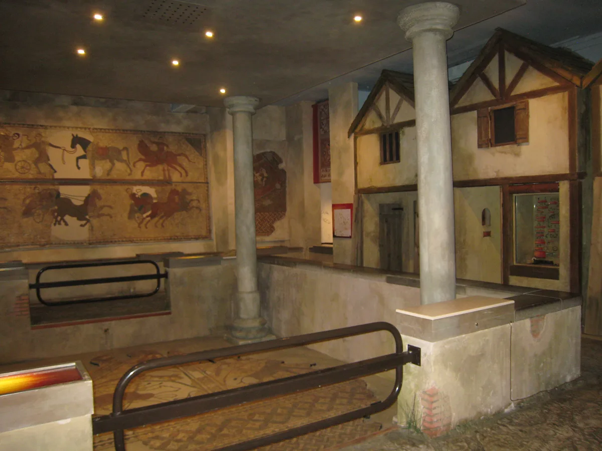
Petuaria
Hill forts · 0.3 km

The Buccaneer Public House
Historic pubs · 0.5 km

Elloughton
Villages · 0.9 km

Welton Manor
Manor houses · 1.6 km

Brantingham Thorpe
Gardens · 2.3 km

Outdoor Seating Area
Natural landmarks · 2.4 km

Brantingham War Memorial and Screen Wall
Memorials & monuments · 2.5 km
.jpg?width=1200)
The Raikes Mausoleum
Follies · 3.2 km

Wauldby
Villages · 3.4 km

Wandahome
Caravan parks · 3.6 km

Wauldby
Vineyards · 3.8 km

Ferriby House
Historic houses · 4.6 km
Nearby
📷 3Hill forts · Yorkshire & the Humber
Petuaria
Petuaria — Roman fort on the site of Brough in the East Riding of Yorkshire, England.
📷 5Historic pubs · Yorkshire & the Humber
The Buccaneer Public House
The Buccaneer Public House in England Yorkshire, United Kingdom.
📷 5📷 3Manor houses · Yorkshire & the Humber
Welton Manor
Welton Manor — Grade II listed building-listed manor in england-yorkshire, United Kingdom.
📷 4Gardens · Yorkshire & the Humber
Brantingham Thorpe
Brantingham Thorpe — a garden in england-yorkshire, United Kingdom.
📷 3Natural landmarks · Yorkshire & the Humber
Outdoor Seating Area
Outdoor Seating Area — a other in england-yorkshire, United Kingdom.
Where to eat & stay near Brough War Memorial, East Riding of Yorkshire
Places to stay
📷 5 📷 5
📷 5 📷 5
📷 5Campsites · Yorkshire & the Humber
Raywell Park
Raywell Park — a campsite in england yorkshire.
 📷 5
📷 5Caravan parks · Yorkshire & the Humber
Raywell Hall Country Lodge Park
Raywell Hall Country Lodge Park — a caravan park in england yorkshire.
 📷 5
📷 5Caravan parks · Yorkshire & the Humber
College Farm Caravan Park
College Farm Caravan Park — a caravan park in england yorkshire.
 📷 5
📷 5Caravan parks · Yorkshire & the Humber
Silver Birch Holiday Home Park
Silver Birch Holiday Home Park — a caravan park in england yorkshire.
Places to eat & drink
📷 5Historic pubs · Yorkshire & the Humber
The Buccaneer Public House
The Buccaneer Public House in England Yorkshire, United Kingdom.
 📷 7
📷 7Historic pubs · Yorkshire & the Humber
Fox And Coney Public House
Fox And Coney Public House in England Yorkshire, United Kingdom.
 📷 5
📷 5Restaurants · Yorkshire & the Humber
Papa's Fish and Chips
Papa's Fish and Chips — a restaurant in england yorkshire. Cuisine: fish;fish and chips;chips. Brand: Papa's.
 📷 5
📷 5Historic pubs · Yorkshire & the Humber
The Cross Keys
The Cross Keys in England Yorkshire, United Kingdom.
 📷 6
📷 6Historic pubs · Yorkshire & the Humber
The Tiger Public House
The Tiger Public House in England Yorkshire, United Kingdom.
 📷 5
📷 5Historic pubs · Yorkshire & the Humber
St. George's Hotel
St. George's Hotel in England Yorkshire, United Kingdom.
More memorials in this region
 📷 3
📷 3Memorials & monuments · Yorkshire & the Humber
Disley War Memorial
Disley War Memorial — War memorial, dating to 1920.
 📷 3
📷 3Memorials & monuments · Yorkshire & the Humber
Hyde war memorial
Hyde war memorial is a memorial in the United Kingdom.
 📷 3
📷 3Memorials & monuments · Yorkshire & the Humber
Audenshaw War Memorial
Audenshaw War Memorial — Grade II listed building-listed memorial in england-west-midlands, United Kingdom.
 📷 3
📷 3Memorials & monuments · Yorkshire & the Humber
War memorial to front of Church of St Paul
War memorial to front of Church of St Paul — Grade II listed building-listed memorial in england-west-midlands, United Kingdom.
Frequently asked questions
- Where is Brough War Memorial, East Riding of Yorkshire?
- Brough War Memorial, East Riding of Yorkshire is in Yorkshire, United Kingdom (postcode HU15 1AB), in the parish of Elloughton-cum-Brough.
- What is Brough War Memorial, East Riding of Yorkshire?
- Brough War Memorial, East Riding of Yorkshire — Grade II listed building-listed memorial in england-yorkshire, United Kingdom.
- How do I get to Brough War Memorial, East Riding of Yorkshire?
- The nearest railway station is Brough, about 0.5 km away. The nearest town is Swanland. Drivers can use postcode HU15 1AB.
- Is Brough War Memorial, East Riding of Yorkshire a listed building?
- Brough War Memorial, East Riding of Yorkshire is officially recognised as Grade II listed building listed.
- Is Brough War Memorial, East Riding of Yorkshire a protected site?
- Yes — Brough War Memorial, East Riding of Yorkshire is part of the Humber Estuary - 2000480 SSSI Site of Special Scientific Interest and the Humber Estuary Ramsar wetland.
- Is Brough War Memorial, East Riding of Yorkshire free to visit?
- Yes, Brough War Memorial, East Riding of Yorkshire is free to enter.
- How do I get to Brough War Memorial, East Riding of Yorkshire?
- The nearest railway station is Brough, about 0.5 km away. Drivers can navigate to postcode HU15 1AB.