Towns & cities · North West England
Patterdale
Patterdale — village and civil parish in Cumbria, England, UK.

Wikimedia Commons contributors — see linked file page for photographer and licence licence
Plan your visit
- Typical visit
- 3 h–6 h
- Free entry
- Family-friendly
- Dog-friendly
About
Patterdale is a town, city, village or settlement in the United Kingdom. Recent population estimates put it at around 460 people. Address: CA11. Wikidata describes it as: "village and civil parish in Cumbria, England, UK". Coordinates: 54.5330°, -2.9349°.
Photo gallery
Protected designations
- Site of Special Scientific Interest: Helvellyn & Fairfield SSSI
- Site of Special Scientific Interest: River Eden and Tributaries SSSI
Designations sourced from Natural England open data under OGL v3.
From the Wikipedia article
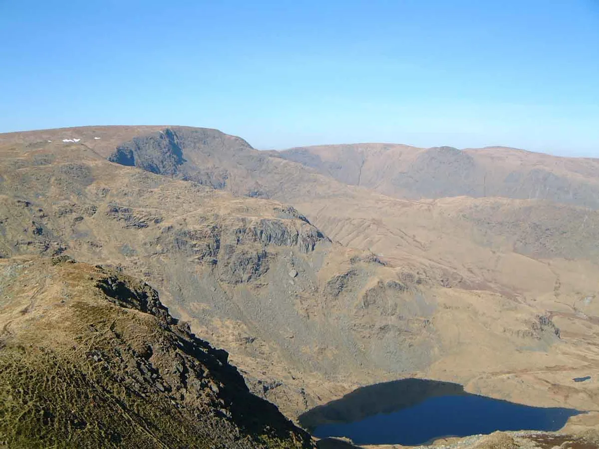
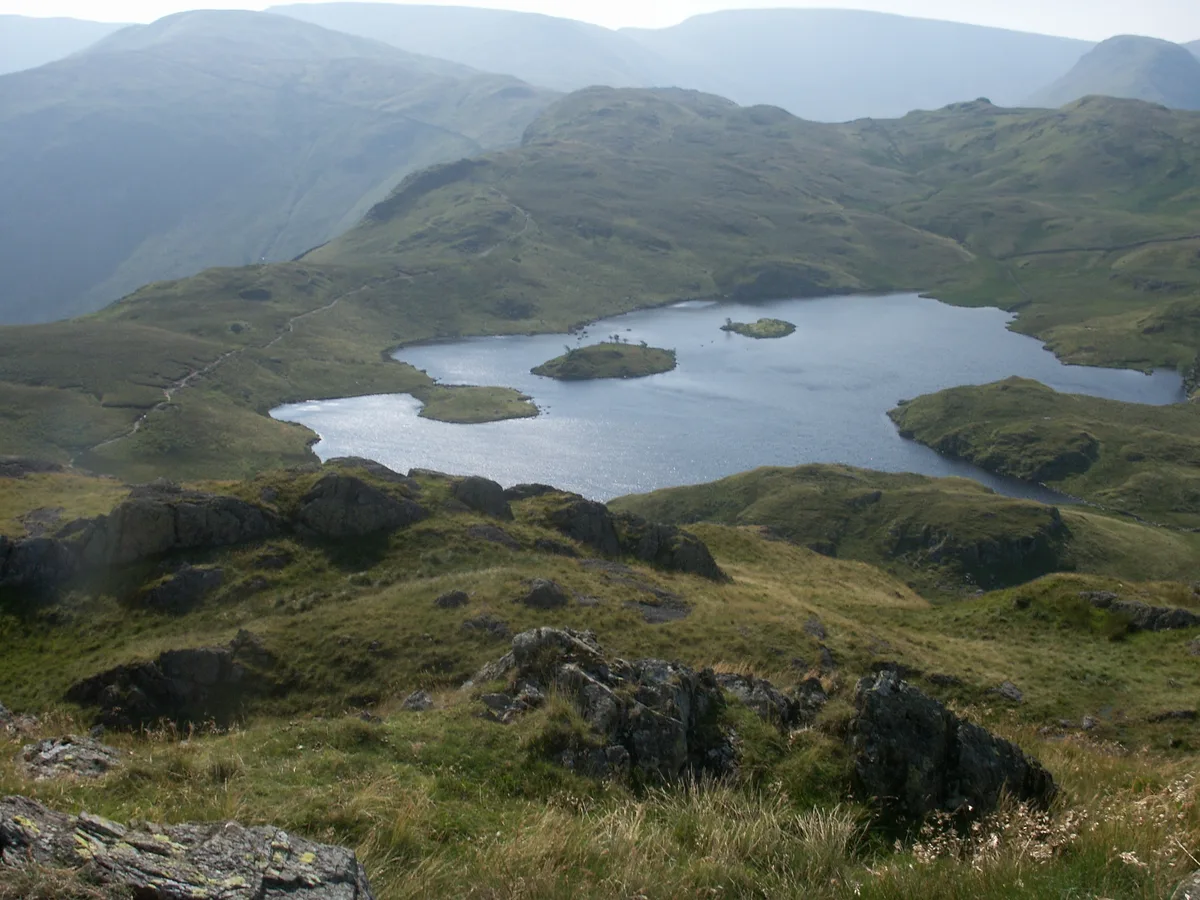
Patterdale (Saint Patrick's Dale) is a small village and civil parish in the Westmorland and Furness district of Cumbria, England. It is in the eastern part of the Lake District, and the name is also used for the long valley in which the village sits, also called the Ullswater Valley. The parish had a population of 460 in 2001, increasing to 501 at the 2011 census. The poet William Wordsworth lived near Patterdale in his youth, and his autobiographical poem The Prelude narrates such childhood activities as fishing in the lake from a stolen boat. The village is now the start point for hill walking, most notably the Striding Edge path up to Helvellyn. Other fells that can be reached from the valley include Place Fell, High Street, Glenridding Dodd, most of the peaks in the Helvellyn range, Fairfield and St Sunday Crag, and Red Screes and Stony Cove Pike at the very end of the valley, standing either side of the Kirkstone Pass which is the road to Ambleside. Further up the valley to the north is the lake of Ullswater with Gowbarrow Fell and Hallin Fell overlooking it. The only tarn in the valley is Brothers Water, one of the first places in the Lake District to be acquired by the National Trust. The only other village in the valley is Glenridding. Patterdale village has a youth hostel, a church, a primary school and a hotel. In summer it can get quite busy, but not so much as Glenridding. Patterdale is considered to be a walkers' valley, and in fact Alfred Wainwright stated that it was his favourite valley in the Lake District as it is relatively undisturbed by tourism. Patterdale and Glenridding were badly affected by Storm Desmond in December 2015.
Excerpt from Wikipedia under CC BY-SA 4.0. See the source article linked in Sources below.
- Coordinates
- 54.5330, -2.9349
- District
- Westmorland and Furness
- Parish
- Patterdale
- Postcode
- CA11
- Parliamentary constituency
- Westmorland and Lonsdale
- Population
- 460
Sources
- wikidata: Q1020020 (CC0)
- wikipedia: Patterdale (CC BY-SA 4.0)
- commons: Hartsop 3.JPG (CC BY-SA 4.0)
Featured in this guide
Other places nearby

White Lion seating
Natural landmarks · 0.2 km

Patterdale Youth Hostel
Hostels · 0.3 km
Patterdale Youth Hostel camp site
Campsites · 0.3 km

Arnison Crag
Natural landmarks · 0.8 km

Arnison Crag
Mountains & hills · 0.8 km

Greenbank Farm Bed and Breakfast
B&Bs · 1.0 km

Side Farm Campsite
Campsites · 1.1 km

Bowfell
Mountains & hills · 1.2 km

Keldas
Mountains & hills · 1.2 km

Old Castle
Literary houses · 1.3 km
Patterdale Old Castle
Castles · 1.3 km

Glenridding Pier
Piers · 1.3 km
Patterdale is a village in North East England with a population of 460. Our guide lists nearby attractions within reach.
At a glance
- Population
- 460
- Constituency
- Westmorland and Lonsdale
- Top categories near here
Things to see in Patterdale
111 attractions within 12 km — showing the 24 most editorially-significant. Full guide: things to do in Patterdale →
 📷 3
📷 3 📷 3
📷 3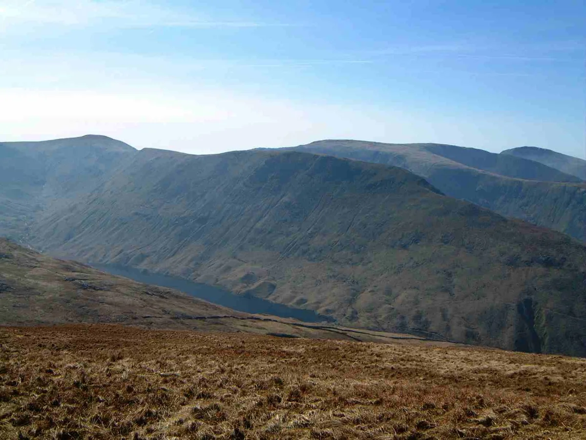 📷 3
📷 3 📷 3
📷 3Natural landmarks · North West England
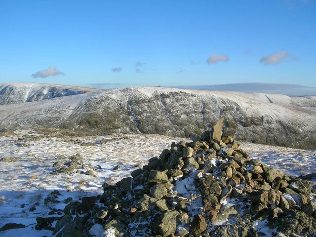
Hartsop above How
Hartsop above How — mountain in United Kingdom.
 📷 3
📷 3Mountains & hills · North West England
Hartsop Above How
Hartsop Above How — Named summit at 586.1 m.
 📷 3
📷 3 📷 3
📷 3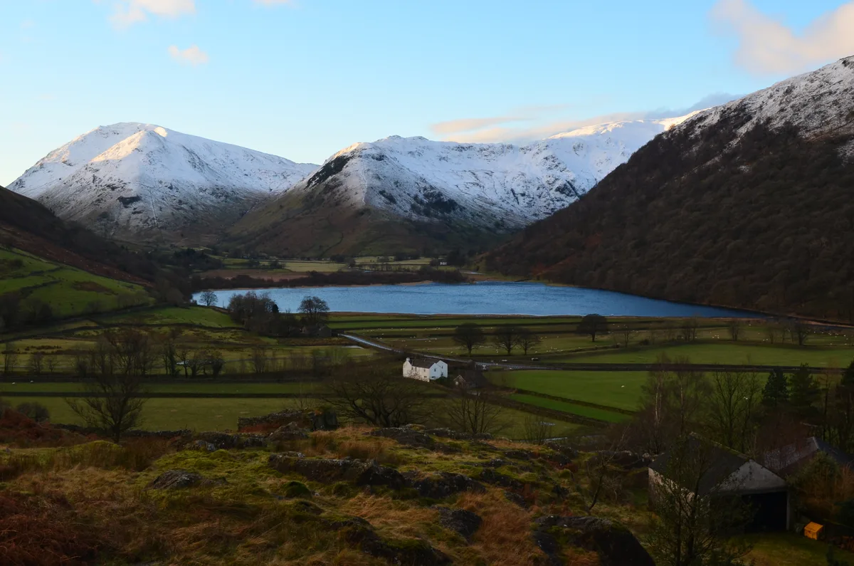 📷 3
📷 3Natural landmarks · North West England
High Hartsop Dodd
High Hartsop Dodd — mountain in United Kingdom.
 📷 3
📷 3Mountains & hills · North West England
High Hartsop Dodd
High Hartsop Dodd — Named summit at 519 m.
 📷 3
📷 3Natural landmarks · North West England
High Street
High Street — fell in the English Lake District.
 📷 3
📷 3Natural landmarks · North West England
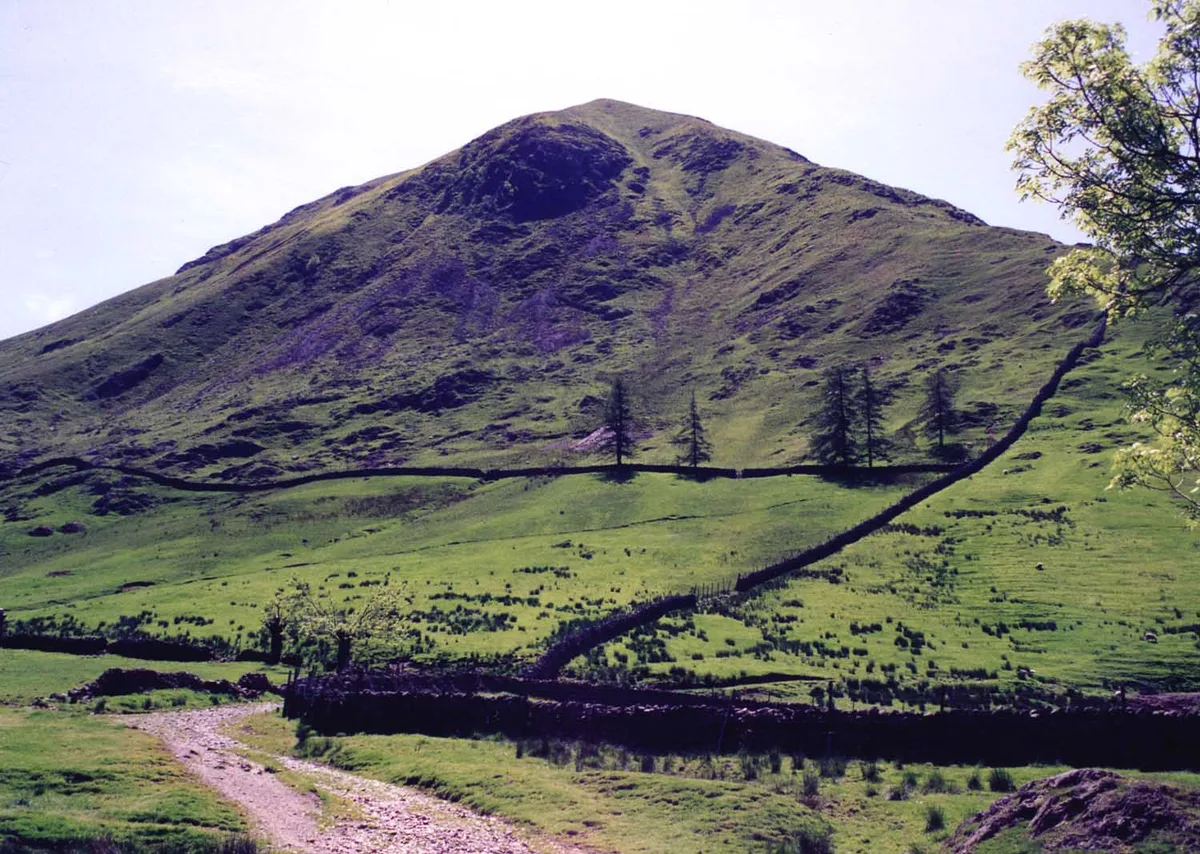
Stony Cove Pike
Stony Cove Pike — mountain in the United Kingdom.
 📷 3
📷 3Mountains & hills · North West England
Stony Cove Pike
Stony Cove Pike — Named summit at 763.7 m.
 📷 3
📷 3Memorials & monuments · North West England
Mark Atkinson's Monument
Mark Atkinson's Monument — a memorial in england-north-west, United Kingdom.
 📷 5
📷 5Campsites · North West England
Sykeside Camping Site
Sykeside Camping Site — a campsite in england north west.
 📷 5
📷 5Mountains & hills · North West England
High Street (summit)
High Street (summit) — mountain in england north west. Elevation: 828.5 m.
 📷 5
📷 5 📷 5
📷 5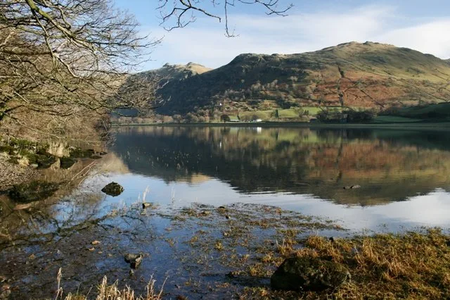 Flagship📷 5
Natural landmarks · North West England
Brothers Water
Brothers Water — lake in Cumbria, England, UK.
 📷 5
📷 5Natural landmarks · North West England
Angle Tarn
Angle Tarn — lake near Patterdale, Cumbria, England, United Kingdom.
 📷 3
📷 3Natural landmarks · North West England
Angletarn Pikes
Angletarn Pikes — mountain in United Kingdom.
 📷 3
📷 3 📷 3
📷 3Mountains & hills · North West England
Angletarn Pikes South Top
Angletarn Pikes South Top — Named summit at 563.6 m.
📷 3📷 3Nearby
📷 3Natural landmarks · North West England
White Lion seating
White Lion seating — a other in england-north-east, United Kingdom.
📷 5Hostels · North West England
Patterdale Youth Hostel
Patterdale Youth Hostel — a hostel in england north east. Brand: Youth Hostels Association.
📷 5Campsites · North West England
Patterdale Youth Hostel camp site
Patterdale Youth Hostel camp site — a campsite in england north east.
📷 3📷 3📷 5B&Bs · North West England
Greenbank Farm Bed and Breakfast
Greenbank Farm Bed and Breakfast — a bed-and-breakfast in england north east.
Where to eat & stay near Patterdale
Places to stay
📷 5Hostels · North West England
Patterdale Youth Hostel
Patterdale Youth Hostel — a hostel in england north east. Brand: Youth Hostels Association.
📷 5Campsites · North West England
Patterdale Youth Hostel camp site
Patterdale Youth Hostel camp site — a campsite in england north east.
📷 5B&Bs · North West England
Greenbank Farm Bed and Breakfast
Greenbank Farm Bed and Breakfast — a bed-and-breakfast in england north east.
📷 5Campsites · North West England
Side Farm Campsite
Side Farm Campsite — a campsite in england north east.
 📷 5
📷 5B&Bs · North West England
Deepdale Hall B&B
Deepdale Hall B&B — a bed-and-breakfast in england north east.
 📷 7
📷 7Places to eat & drink
 📷 7
📷 7Historic pubs · North West England
The Travellers Rest
The Travellers Rest in England North West, United Kingdom.
 📷 5
📷 5Historic pubs · North West England
Golden Rule Hotel
Golden Rule Hotel in England North West, United Kingdom.
 📷 5
📷 5Historic pubs · North West England
Horse And Farrier Inn And Stables
Horse And Farrier Inn And Stables in Scotland Lowlands, United Kingdom.
 📷 4
📷 4Restaurants · North West England
Holbeck Ghyll
Holbeck Ghyll is a restaurant located in Windermere, Cumbria, England. "The late 19th century building was once Lord Lonsdale's hunting lodge and only became a hotel in the 1970s. It won a Michelin st
 📷 5
📷 5Restaurants · North West England
Holbeck Ghyll Restaurant
Holbeck Ghyll Restaurant — a restaurant in england north west.
📷 5Historic pubs · North West England
Holbeck Ghyll
Holbeck Ghyll in England North West, United Kingdom.
More towns in this region
 Flagship📷 3
Towns & cities · North West England
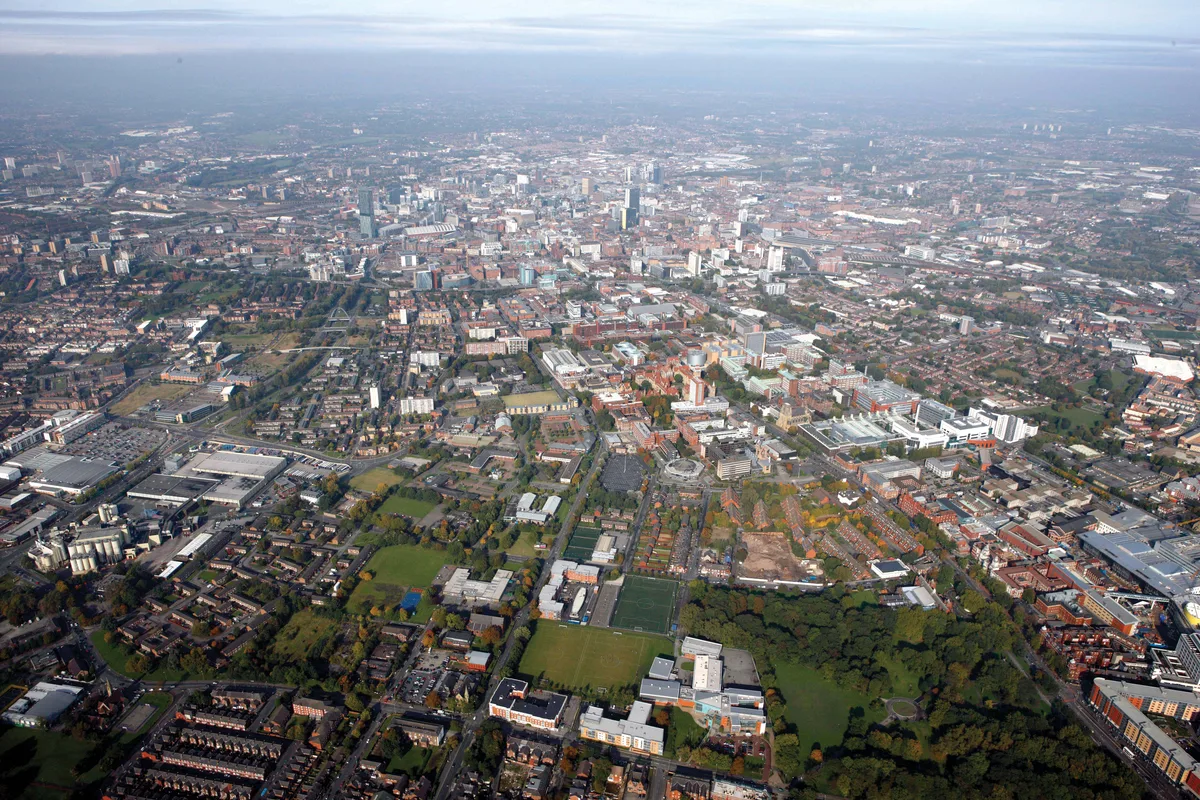
Manchester
Manchester — city in Greater Manchester, England.
 📷 3
📷 3Towns & cities · North West England
Alderley Edge
Alderley Edge — village and civil parish in Cheshire East, UK.
_-_geograph.org.uk_-_60497.jpg?width=1200) 📷 5
📷 5Towns & cities · North West England
Appleton Thorn
Appleton Thorn — village in Warrington, Cheshire, UK.
 📷 5
📷 5Towns & cities · North West England
Aston juxta Mondrum
Aston juxta Mondrum — village and civil parish in Cheshire East, England, UK.
Frequently asked questions
- Where is Patterdale?
- Patterdale is in North-East England, United Kingdom (postcode CA11), in the parish of Patterdale.
- What is Patterdale?
- Patterdale — village and civil parish in Cumbria, England, UK.
- How do I get to Patterdale?
- Drivers can use postcode CA11.
- Is Patterdale a protected site?
- Yes — Patterdale is part of the Helvellyn & Fairfield SSSI Site of Special Scientific Interest and the River Eden and Tributaries SSSI Site of Special Scientific Interest.
- Is Patterdale free to visit?
- Yes, Patterdale is free to enter.
- How do I get to Patterdale?
- Drivers can navigate to postcode CA11. It sits within the Westmorland and Lonsdale parliamentary constituency.