
Historic houses · North West England
Oughtrington Hall
In or near Lymm.
Oughtrington Hall — a Grade II*-listed historic house in england-west-midlands, United Kingdom.

Whatlep — CC BY-SA 2.0 via Wikimedia Commons licence

Plan your visit
- Typical visit
- 1 h–2 h
- Nearest railway station
- Glazebrook · 5.5 km
- Family-friendly
- Limited wheelchair access
Getting there & planning your visit
To visit Oughtrington Hall, the nearest railway station is Glazebrook, located 5.5 km away. The postcode for sat-nav is WA13 0RB. Accessibility is limited for wheelchair users.
About
Oughtrington Hall is a Grade II*-listed building in england-west-midlands, United Kingdom. Grade II* status is conferred by Historic England (or Cadw, Historic Environment Scotland or NIEA equivalents) on buildings of exceptional national interest. See the linked Wikipedia article for full historical and architectural details.
Photo gallery
From the Wikipedia article
Oughtrington Hall was a country house east of the village of Lymm in Cheshire, England. The manor house was rebuilt in about 1810 for Trafford Trafford (né Leigh: a descendant of the ancient Leighs of West Hall, High Legh), who assumed the surname and arms of Trafford by Royal Licence 5 December 1791 in compliance with the Will of his maternal uncle Richard Trafford, of Swythamley. In 1862 Oughtrington Hall was bought by G. C. Dewhurst, a cotton manufacturer from Manchester. Dewhurst enlarged the service wing and also paid for the construction of St Peter's Church nearby. Built in the neoclassical architectural style, it is rendered of brick with stone dressings and a slate roof. At the centre of the entrance front is a wide canted bay containing a porch with paired Tuscan columns. On each side of the porch are three-light windows under a segmental arch. The former mansion now forms the main building of Lymm High School, and is designated in the National Heritage List for England as a Grade II listed building.
Excerpt from Wikipedia under CC BY-SA 4.0. See the source article linked in Sources below.
- Coordinates
- 53.3787, -2.4595
- District
- Warrington
- Parish
- Lymm
- Postcode
- WA13 0RB
- Parliamentary constituency
- Tatton
- Nearest railway station
- Glazebrook — 5.5 km
- Official site
- thelymmarchive.co.uk
Sources
- wikidata: Q7110320 (CC0)
- wikipedia: Oughtrington Hall (CC BY-SA 4.0)
Other places nearby
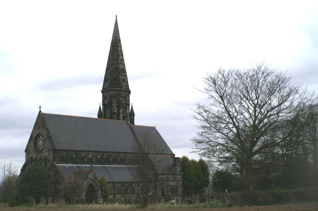
St Peter's Church, Oughtrington
Historic churches · 0.2 km

The Bridgewater Canal Lloyd Bridge
Historic bridges · 0.5 km

The Bridgewater Canal Grantham's Bridge
Historic bridges · 0.8 km

Lymm Water Tower
Memorials & monuments · 0.9 km

Lymm Baptist Church
Historic churches · 0.9 km

Burford Lane Farmhouse
Farms (open to visitors) · 1.0 km

Lymm
Towns & cities · 1.2 km

Lymm Cross
Memorials & monuments · 1.2 km
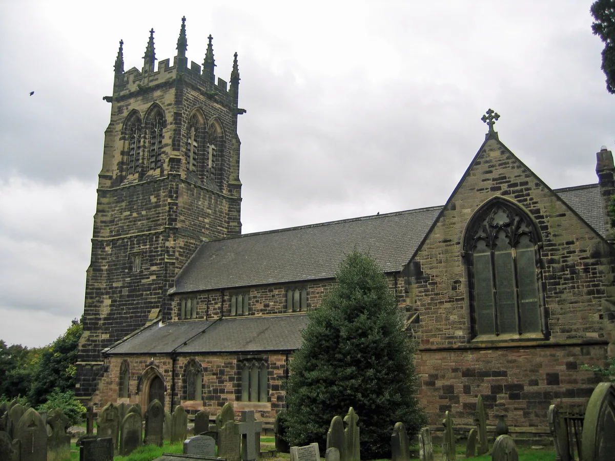
St Mary's Church, Lymm
Historic churches · 1.3 km

Lymm War Memorial
Memorials & monuments · 1.3 km
Bridge over outfall and spillway, Lymm Dam
Historic bridges · 1.3 km

Lymm Heritage Centre
Museums · 1.3 km
Nearby
📷 3Historic churches · North West England
St Peter's Church, Oughtrington
St Peter's Church, Oughtrington — grade II listed church in Lymm, Warrington, Cheshire, England, UK.
📷 3Historic bridges · North West England
The Bridgewater Canal Lloyd Bridge
The Bridgewater Canal Lloyd Bridge — Grade II listed building-listed bridge in england-west-midlands, United Kingdom.
📷 3Historic bridges · North West England
The Bridgewater Canal Grantham's Bridge
The Bridgewater Canal Grantham's Bridge — Grade II listed building-listed bridge in england-west-midlands, United Kingdom.
📷 5Memorials & monuments · North West England
Lymm Water Tower
Lymm Water Tower — a water tower in england-west-midlands, United Kingdom.
📷 3Historic churches · North West England
Lymm Baptist Church
Lymm Baptist Church — church building in United Kingdom.
📷 3Farms (open to visitors) · North West England
Burford Lane Farmhouse
Burford Lane Farmhouse — a Grade II*-listed farm in england-west-midlands, United Kingdom.
Where to eat & stay near Oughtrington Hall
Places to stay
 📷 5
📷 5Caravan parks · North West England
Agden Brow Caravan Park
Agden Brow Caravan Park — a caravan park in england west midlands.
 📷 5
📷 5Campsites · North West England
Holly Bank Caravan Park
Holly Bank Caravan Park — a campsite in england west midlands.
 📷 5
📷 5Campsites · North West England
Dunham Massey Scout Camp
Dunham Massey Scout Camp — a campsite in england west midlands.
 📷 5
📷 5Caravan parks · North West England
Canal Bank Farm caravan site
Canal Bank Farm caravan site — a caravan park in england west midlands.
 📷 5
📷 5Campsites · North West England
Into the Wild Bushcraft
Into the Wild Bushcraft — a campsite in england west midlands.
 📷 5
📷 5Campsites · North West England
Tatton Park Scout Campsite
Tatton Park Scout Campsite — a campsite in england west midlands.
Places to eat & drink
 📷 7
📷 7 📷 5
📷 5Restaurants · North West England
Wok Inn
Wok Inn — a restaurant in england west midlands. Cuisine: chinese;oriental. 4.5-star.
📷 5 📷 5
📷 5Historic pubs · North West England
George and Dragon, Great Budworth
George and Dragon, Great Budworth in England North West, United Kingdom.
 📷 5
📷 5Restaurants · North West England
Galleries Cafe
Galleries Cafe — a restaurant in wales north.
 📷 7
📷 7Historic pubs · North West England
Volunteer Hotel
Volunteer Hotel — Historic pub — listed building or notable heritage status.
More historic houses in this region
 📷 3
📷 3Historic houses · North West England
116 Hospital Street, Nantwich
116 Hospital Street, Nantwich — substantial townhouse in Nantwich, Cheshire, England, UK.
 📷 3
📷 3Historic houses · North West England
140–142 Hospital Street, Nantwich
140–142 Hospital Street, Nantwich — grade II listed building in Nantwich, Cheshire East, Cheshire, England, UK.
 📷 3
📷 3Historic houses · North West England
46 High Street, Nantwich
46 High Street, Nantwich — house in Nantwich, Cheshire, England, UK.
 📷 3
📷 3Historic houses · North West England
64, St Ann's Road
64, St Ann's Road — Grade II* listed house in Middlewich, Cheshire East, England, UK.
Frequently asked questions
- Where is Oughtrington Hall?
- Oughtrington Hall is in the West Midlands, United Kingdom (postcode WA13 0RB), in the parish of Lymm.
- What is Oughtrington Hall?
- Oughtrington Hall — a Grade II*-listed historic house in england-west-midlands, United Kingdom.
- How do I get to Oughtrington Hall?
- The nearest railway station is Glazebrook, about 5.5 km away. Drivers can use postcode WA13 0RB.
- Is Oughtrington Hall a listed building?
- Oughtrington Hall is officially recognised as Grade II* listed.
- How do I get to Oughtrington Hall?
- The nearest railway station is Glazebrook, about 5.5 km away. Drivers can navigate to postcode WA13 0RB.