
Wildlife reserves · South East England
Otmoor RSPB reserve
In or near Noke.
Otmoor RSPB reserve — RSPB nature reserve in Oxfordshire, United Kingdom.

Wikimedia Commons contributors — see linked file page for photographer and licence licence

Plan your visit
- Typical visit
- 2 h–4 h
- Best time of year
- Autumn & winter (migration & wildfowl)
- Nearest railway station
- Islip · 3.8 km
- Free entry
- Dog-friendly
- Limited wheelchair access
Getting there & planning your visit
To visit Otmoor RSPB reserve, the nearest railway station is Islip, located 3.8 km away. Entry to the reserve is free, but wheelchair accessibility is limited. The postcode for sat-nav is OX5 2QY.
About
Otmoor RSPB reserve is a wildlife reserve in the United Kingdom. Managed by Royal Society for the Protection of Birds. Wikidata describes it as: "RSPB nature reserve in Oxfordshire, United Kingdom". Coordinates: 51.8264°, -1.1825°.
Photo gallery
Summary from the official site
Otmoor RSPB reserve is a large wildlife haven located in Oxfordshire, featuring diverse habitats such as floodplain grazing marshes and hedgerows. Visitors can explore various trails to observe a wide range of birds and other wildlife throughout the seasons.
Read more on the official property page.
From the Wikipedia article
Otmoor RSPB Reserve is a nature reserve, managed by the RSPB, between Beckley and Oddington, within the wider area of Otmoor, in Oxfordshire, England. The reserve was established in 1997 and restored large areas of marshland from what had previously been farmland. The RSPB reserve covers 485 hectares (1,200 acres). The site is a popular birdwatching spot, and includes several hides that look out over different habitats, including the wetland watch. The site includes several walking trails, connecting with the network of public walking trails and bridleways in the Otmoor area that connect the local villages that surround the reserve. Large swathes of the land is seasonally flooded, and areas of the reserve are therefore not accessible to visitors year-round. Otmoor is primarily wetland and in winter provides a home to thousands of waterfowl. It is increasingly becoming a wintering ground for thousands of wildfowl and waders. Over a thousand wigeon and teal have been recorded, while birds of prey such as merlins and peregrines are regularly seen. Large areas of Otmoor have benefited from extensive agriculture using traditional methods, resulting in good numbers of songbirds that are otherwise declining in the UK, including bullfinch, skylark, reed bunting, grasshopper warbler and European turtle dove. Spring and autumn both produce good numbers of passage migrants, including waders in the spring and common redstarts and whinchats in the autumn. The best time for marsh harriers is late April to mid-May. There are good numbers of breeding waders and recent RSPB work has increased the number of pairs of northern lapwings and common redshanks. The site has become well known for murmurations (roosting displays) of starlings in winter. Bitterns were recorded as breeding in 2016. A diverse selection of other wildlife has been recorded at the reserve. Many rare plants have been reported from the area, including fen violet, downy-fruited sedge, dyer's greenweed, heath spotted…
Excerpt from Wikipedia under CC BY-SA 4.0. See the source article linked in Sources below.
- Coordinates
- 51.8264, -1.1825
- County
- Oxfordshire
- District
- Cherwell
- Parish
- Oddington
- Postcode
- OX5 2QY
- Parliamentary constituency
- Bicester and Woodstock
- Phone
- 01865 351163
- Established
- 1997
- Nearest railway station
- Islip — 3.8 km
- Opening
- Daily, dawn-dusk
- Official site
- www.rspb.org.uk
Sources
- wikidata: Q7108901 (CC0)
- wikipedia: Otmoor RSPB reserve (CC BY-SA 4.0)
- commons: RSPB reserve, Otmoor - geograph.org.uk - 386653.jpg (CC BY-SA 4.0)
Other places nearby

Oddington
Villages · 1.2 km

Otmoor Reserve
Forests & woodlands · 1.3 km

Charlton on Otmoor
Villages · 1.5 km
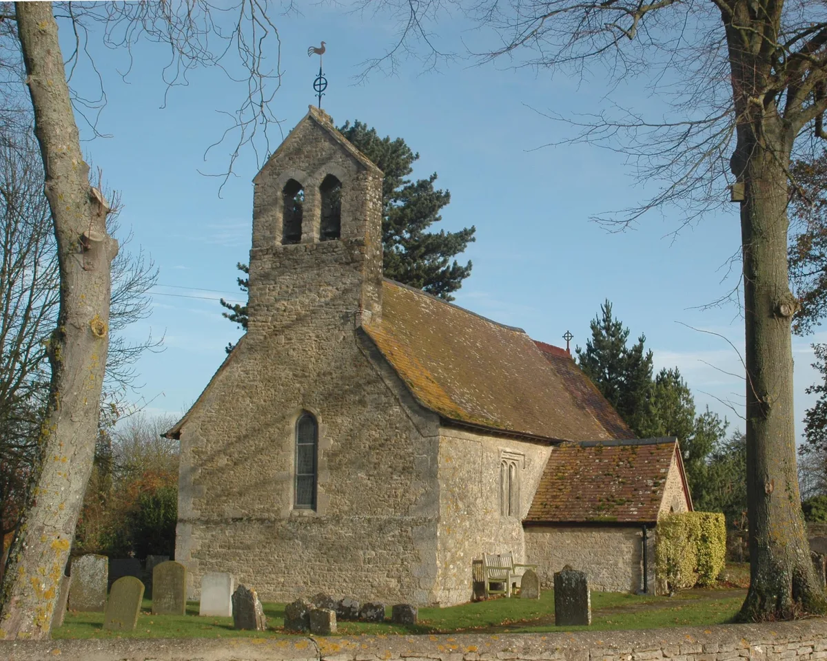
Noke
Towns & cities · 2.5 km

The Plough Public House
Historic houses · 2.6 km

Asham Meads
Forests & woodlands · 2.8 km

Beckley Park
Manor houses · 2.8 km

1, Church Street
Historic houses · 3.2 km
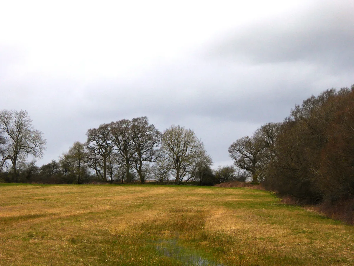
Woodsides Meadow
Wildlife reserves · 3.3 km

The Abingdon Arms Public House
Historic pubs · 3.3 km
.jpg?width=1200)
Woodsides Meadow
Forests & woodlands · 3.4 km

Merton
Villages · 3.5 km
Nearby
📷 5📷 5Forests & woodlands · South East England
Otmoor Reserve
Otmoor Reserve is a forest or woodland in the United Kingdom.
📷 5Villages · South East England
Charlton on Otmoor
Charlton on Otmoor — a village in england west midlands.
Flagship📷 3Towns & cities · South East England
Noke
Noke — village and civil parish in Cherwell district, Oxfordshire, England.
📷 3Historic houses · South East England
The Plough Public House
The Plough Public House — former pub in Noke, Cherwell, Oxfordshire, England, UK.
📷 5Forests & woodlands · South East England
Asham Meads
Asham Meads is a forest or woodland in the United Kingdom.
Where to eat & stay near Otmoor RSPB reserve
Places to stay
 📷 5
📷 5 📷 5
📷 5Caravan parks · South East England
Godwins Caravan And Camping Park
Godwins Caravan And Camping Park — a caravan park in england west midlands.
📷 5Hotels · South East England
Weston Manor Hotel
Weston Manor Hotel — a hotel in england west midlands.
 📷 5
📷 5Campsites · South East England
Diamond Farm C.& C. Park
Diamond Farm C.& C. Park — a campsite in england west midlands.
 📷 5
📷 5Campsites · South East England
Common Leys Farm
Common Leys Farm — a campsite in england west midlands.
 📷 5
📷 5B&Bs · South East England
Common Leys Farm
Common Leys Farm — a bed-and-breakfast in england west midlands.
Places to eat & drink
📷 5Historic pubs · South East England
The Abingdon Arms Public House
The Abingdon Arms Public House in England South East, United Kingdom.
 📷 5
📷 5Historic pubs · South East England
The Star Inn Public House
The Star Inn Public House in England South East, United Kingdom.
 📷 5
📷 5Restaurants · South East England
Miller & Carter
Miller & Carter — a restaurant in england west midlands. Cuisine: steak. Brand: Miller & Carter.
 📷 7
📷 7Historic pubs · South East England
The Blacks Head Public House
The Blacks Head Public House in England South East, United Kingdom.
 📷 5
📷 5Historic pubs · South East England
Victoria Arms, Marston
Victoria Arms, Marston in England South East, United Kingdom.
 📷 7
📷 7Historic pubs · South East England
The Britannia Public House
The Britannia Public House in England South East, United Kingdom.
More places run by Royal Society for the Protection of Birds
 📷 5
📷 5Hill forts · South East England
Shornemead Fort
Shornemead Fort — fort in Shorne, Kent, England, UK.
 📷 5
📷 5Wildlife reserves · South East England
Amberley Wild Brooks
Amberley Wild Brooks — nature reserve in the United Kingdom.
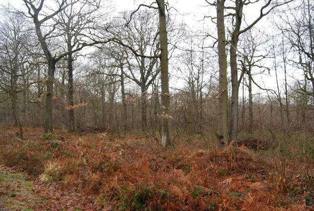 📷 5
📷 5Wildlife reserves · South East England
Blean Woods RSPB Reserve
Blean Woods RSPB Reserve — RSPB nature reserve in the United Kingdom.
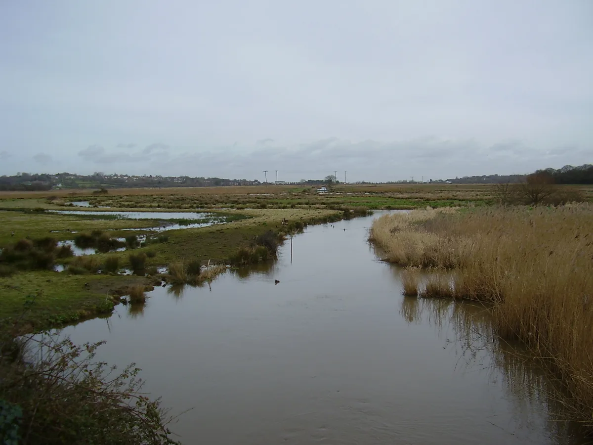 📷 5
📷 5Wildlife reserves · South East England
Brading Marshes RSPB reserve
Brading Marshes RSPB reserve — RSPB nature reserve on the Isle of Wight.
More places in this region
 📷 5
📷 5 📷 5
📷 5Wildlife reserves · South East England
Burham Down
Burham Down — nature reserve in Kent, England, UK.
 📷 5
📷 5Wildlife reserves · South East England
Combe Bottom
Combe Bottom — nature reserve in Surrey, England.
 📷 5
📷 5Wildlife reserves · South East England
Dryhill Nature Reserve
Dryhill Nature Reserve is a wildlife reserve in the United Kingdom.
Frequently asked questions
- Where is Otmoor RSPB reserve?
- Otmoor RSPB reserve is in Oxfordshire, South-East England, United Kingdom (postcode OX5 2QY), in the parish of Oddington.
- What is Otmoor RSPB reserve?
- Otmoor RSPB reserve — RSPB nature reserve in Oxfordshire, United Kingdom.
- How do I get to Otmoor RSPB reserve?
- The nearest railway station is Islip, about 3.8 km away. The nearest town is Noke. Drivers can use postcode OX5 2QY.
- When was Otmoor RSPB reserve built?
- Built or established in 1997.
- Who runs Otmoor RSPB reserve?
- Otmoor RSPB reserve is operated by Royal Society for the Protection of Birds.
- Is Otmoor RSPB reserve free to visit?
- Yes, Otmoor RSPB reserve is free to enter.
- How do I get to Otmoor RSPB reserve?
- The nearest railway station is Islip, about 3.8 km away. Drivers can navigate to postcode OX5 2QY.
- Are dogs allowed at Otmoor RSPB reserve?
- Most wildlife reserves allow dogs on lead only, with restrictions during ground-nesting bird season (March-July). Check signage at the reserve.