
Villages · South East England
Merton
In or near Arncott.
Merton — a village in england west midlands.

Bill Nicholls — CC BY-SA 2.0 via Wikimedia Commons licence

Plan your visit
- Typical visit
- 1 h–2 h
- Nearest railway station
- Bicester Village · 4.3 km
About
A British village — settlements of this size traditionally cluster a green, parish church, pub and post office around historic land routes.
Photo gallery
Place summary
Merton is a village located in the West Midlands with a population of 449. The village is characterised by its rural setting and small community atmosphere. It offers a glimpse into local life in the region, with typical features of a quaint English village.
AI-generated from the structured facts on this page (operator, designation, listing, era). Not a substitute for visiting.
- Coordinates
- 51.8552, -1.1636
- County
- Oxfordshire
- District
- Cherwell
- Parish
- Merton
- Postcode
- OX25 2NN
- Parliamentary constituency
- Bicester and Woodstock
- Population
- 449
- Nearest railway station
- Bicester Village — 4.3 km
Sources
- manual: geonames-2642703 (CC BY 4.0)
Other places nearby

The Mad Mile
Viewpoints · 1.9 km

Merton Roman Camp
Archaeological sites · 2.0 km

Merton Roman Camp
Archaeological sites · 2.0 km
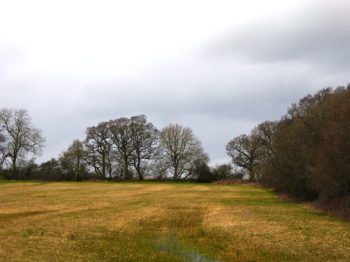
Woodsides Meadow
Wildlife reserves · 2.1 km

Woodsides Meadow
Forests & woodlands · 2.1 km

Charlton on Otmoor
Villages · 2.2 km

Wendlebury
Villages · 2.4 km

Alchester Roman Fort
Archaeological sites · 2.6 km

Alchester Roman Town
Vineyards · 2.6 km

Alchester Fort Annex
Archaeological sites · 2.7 km

Wendlebury
Castles · 2.7 km

Graven Hill
Mountains & hills · 2.9 km
Nearby
📷 3📷 3Archaeological sites · South East England
Merton Roman Camp
Merton Roman Camp — an archaeological site in South East England, United Kingdom.
📷 5Archaeological sites · South East England
Merton Roman Camp
Merton Roman Camp — archaeological in england west midlands.
Flagship📷 3Wildlife reserves · South East England
Woodsides Meadow
Woodsides Meadow is a wildlife reserve in the United Kingdom.
📷 3Forests & woodlands · South East England
Woodsides Meadow
Woodsides Meadow is a forest or woodland in the United Kingdom.
📷 5Villages · South East England
Charlton on Otmoor
Charlton on Otmoor — a village in england west midlands.
Where to eat & stay near Merton
Places to stay
 📷 5
Caravan parks · South East England
Godwins Caravan And Camping Park
Godwins Caravan And Camping Park — a caravan park in england west midlands.
📷 5Hotels · South East England
Weston Manor Hotel
Weston Manor Hotel — a hotel in england west midlands.
 📷 5
Campsites · South East England
Diamond Farm C.& C. Park
Diamond Farm C.& C. Park — a campsite in england west midlands.
 📷 5
 📷 5
Campsites · South East England
Greenhill Leisure Park
Greenhill Leisure Park — a campsite in england west midlands.
 📷 5
Campsites · South East England
Common Leys Farm
Common Leys Farm — a campsite in england west midlands.
Places to eat & drink
 📷 7
 📷 7
Historic pubs · South East England
35, Market Square
35, Market Square in England South East, United Kingdom.
 📷 5
Restaurants · South East England
Copper Kitchen
Copper Kitchen — a restaurant in england west midlands.
 📷 3
Historic pubs · South East England
The Launton Arms
The Launton Arms — Historic pub — listed building or notable heritage status.
 📷 5
Historic pubs · South East England
The Abingdon Arms Public House
The Abingdon Arms Public House in England South East, United Kingdom.
 📷 7
Historic pubs · South East England
The Blacks Head Public House
The Blacks Head Public House in England South East, United Kingdom.
More places in this region
 📷 5
 📷 5
 📷 5
 📷 5
Frequently asked questions
- Where is Merton?
- Merton is in Oxfordshire, South-East England, United Kingdom (postcode OX25 2NN), in the parish of Merton.
- What is Merton?
- Merton — a village in england west midlands.
- How do I get to Merton?
- The nearest railway station is Bicester Village, about 4.3 km away. The nearest town is Arncott. Drivers can use postcode OX25 2NN.
- How do I get to Merton?
- The nearest railway station is Bicester Village, about 4.3 km away. Drivers can navigate to postcode OX25 2NN.