
Wildlife reserves · East of England
Oakfield Wood
In or near Wix.
Oakfield Wood — Essex Wildlife Trust Nature reserve.

Wikimedia Commons contributors — see linked file page for photographer and licence licence

Plan your visit
- Typical visit
- 2 h–4 h
- Best time of year
- Autumn & winter (migration & wildfowl)
- Nearest railway station
- Wrabness · 1.4 km
- Free entry
- Family-friendly
- Dog-friendly
- Limited wheelchair access
Getting there & planning your visit
To visit Oakfield Wood, the nearest railway station is Wrabness, located 1.4 km away. The postcode for sat-nav is CO11 2TD, and entry is free. Accessibility is limited for wheelchair users.
About
Oakfield Wood is a wildlife reserve in the United Kingdom. It covers approximately 3 km². Managed by Essex Wildlife Trust. Wikidata describes it as: "Essex Wildlife Trust Nature reserve". Coordinates: 51.9400°, 1.1510°.
Photo gallery
Protected designations
- Site of Special Scientific Interest: Stour Estuary SSSI
- Area of Outstanding Natural Beauty: Suffolk Coast & Heaths
- Ramsar wetland: Stour and Orwell Estuaries
Designations sourced from Natural England open data under OGL v3.
From the Wikipedia article
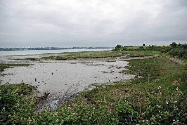
Oakfield Wood is a 2.8-hectare (6.9-acre) nature reserve west of Wrabness in Essex. It is managed by the Essex Wildlife Trust. This is former farmland which is being converted into a "green burial ground", overlooking the Stour Estuary. A native broadleaved tree is planted for each burial with a wooden plaque at the base. When the burial ground is full, it will be managed by the trust as a nature reserve. There is access to the site carpark from Wheatsheaf Lane by a track which leads through Wrabness Nature Reserve carpark.
Excerpt from Wikipedia under CC BY-SA 4.0. See the source article linked in Sources below.
- Coordinates
- 51.9400, 1.1510
- County
- Essex
- District
- Tendring
- Parish
- Wrabness
- Postcode
- CO11 2TD
- Parliamentary constituency
- Harwich and North Essex
- Nearest railway station
- Wrabness — 1.4 km
- Official site
- www.essexwt.org.uk
Sources
- wikidata: Q28404978 (CC0)
- wikipedia: Oakfield Wood (CC BY-SA 4.0)
- commons: Oakfield Wood - geograph.org.uk - 1364448.jpg (CC BY-SA 4.0)
Other places nearby

Oakfield Wood
Cemeteries · 0.3 km

Wrabness Nature Reserve
Forests & woodlands · 0.4 km
Wrabness Nature Reserve
Wildlife reserves · 0.6 km

Wrabness
Villages · 1.0 km

Wrabness Village Sign
Public art & sculpture · 1.1 km

Stone Lane Caravan Site
Caravan parks · 1.2 km

Jacques Hall
Vineyards · 1.3 km

Kahana
Caravan parks · 2.2 km

Stour Estuary RSPB reserve
Wildlife reserves · 2.5 km

Strangers Holiday Park
Campsites · 2.5 km

Wix Abbey
Abbeys & priories · 2.6 km

Dairyhouse Farm
Caravan parks · 2.9 km
Nearby
📷 3📷 3Forests & woodlands · East of England
Wrabness Nature Reserve
Wrabness Nature Reserve is a forest or woodland in the United Kingdom.
📷 3Wildlife reserves · East of England
Wrabness Nature Reserve
Wrabness Nature Reserve — Essex Wildlife Trust Nature reserve.
📷 5📷 3Public art & sculpture · East of England
Wrabness Village Sign
Wrabness Village Sign — a public art in england-east, United Kingdom.
📷 5Caravan parks · East of England
Stone Lane Caravan Site
Stone Lane Caravan Site — a caravan park in england east.
Where to eat & stay near Oakfield Wood
Places to stay
📷 5Caravan parks · East of England
Stone Lane Caravan Site
Stone Lane Caravan Site — a caravan park in england east.
📷 5📷 5Campsites · East of England
Strangers Holiday Park
Strangers Holiday Park — a campsite in england east.
📷 5 📷 5
📷 5Campsites · East of England
Alton Water Campsite
Alton Water Campsite — a campsite in england east.
 📷 5
📷 5Campsites · East of England
Castle Inn and Camping Site
Castle Inn and Camping Site — a campsite in england east.
Places to eat & drink
 📷 5
📷 5Historic pubs · East of England
The Trafalgar Public House
The Trafalgar Public House in England East, United Kingdom.
 📷 5
📷 5Historic pubs · East of England
The Butt and Oyster
The Butt and Oyster in England East, United Kingdom.
 📷 5
📷 5Historic pubs · East of England
The British Flag Public House
The British Flag Public House in England East, United Kingdom.
 📷 7
📷 7 📷 5
📷 5Restaurants · East of England
Thai Up at the Quay
Thai Up at the Quay — a restaurant in england east.
 📷 5
📷 5More places run by Essex Wildlife Trust
 Flagship📷 10
Wildlife reserves · London
Bedfords Park
Bedfords Park — Havering London Borough green landscape, also an Essex Wildlife Trust Nature reserve.
 Flagship📷 10
Wildlife reserves · London
Chafford Gorges Nature Park
Chafford Gorges Nature Park — Essex Wildlife Trust Nature reserve.
 Flagship📷 10
Wildlife reserves · London
Cranham Marsh
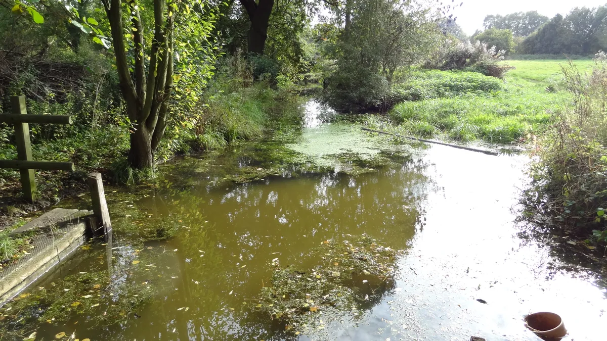
Cranham Marsh — Essex Wildlife Trust Nature reserve in the London Borough of Havering, England, UK.
 Flagship📷 10
Wildlife reserves · London
Gernon Bushes
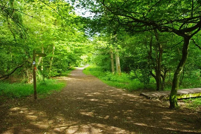
Gernon Bushes — Essex Wildlife Trust Nature reserve.
More places in this region
 Flagship📷 10
Wildlife reserves · East of England
Amwell Quarry
Amwell Quarry — nature reserve in United Kingdom.
 Flagship📷 10
Wildlife reserves · East of England
Aubrey Buxton Nature Reserve
Aubrey Buxton Nature Reserve — Essex Wildlife Trust Nature reserve.
 Flagship📷 10
Wildlife reserves · East of England
Canvey Wick
Canvey Wick — nature reserve in Essex, United Kingdom.
 Flagship📷 10
Wildlife reserves · East of England
Crowsheath Wood
Crowsheath Wood — Essex Wildlife Trust Nature reserve.
Frequently asked questions
- Where is Oakfield Wood?
- Oakfield Wood is in Essex, East of England, United Kingdom (postcode CO11 2TD), in the parish of Wrabness.
- What is Oakfield Wood?
- Oakfield Wood — Essex Wildlife Trust Nature reserve.
- How do I get to Oakfield Wood?
- The nearest railway station is Wrabness, about 1.4 km away. Drivers can use postcode CO11 2TD.
- Who runs Oakfield Wood?
- Oakfield Wood is operated by Essex Wildlife Trust.
- Is Oakfield Wood a protected site?
- Yes — Oakfield Wood is part of the Stour Estuary SSSI Site of Special Scientific Interest and the Suffolk Coast & Heaths National Landscape (AONB).
- Is Oakfield Wood free to visit?
- Yes, Oakfield Wood is free to enter.
- How do I get to Oakfield Wood?
- The nearest railway station is Wrabness, about 1.4 km away. Drivers can navigate to postcode CO11 2TD.
- Are dogs allowed at Oakfield Wood?
- Most wildlife reserves allow dogs on lead only, with restrictions during ground-nesting bird season (March-July). Check signage at the reserve.