
Forests & woodlands · South East England
Newdigate Brickworks
In or near Rusper.
Newdigate Brickworks is a forest or woodland in the United Kingdom.

Wikimedia Commons contributors — see linked file page for photographer and licence licence

Plan your visit
- Typical visit
- 1 h–3 h
- Nearest railway station
- Holmwood · 3.2 km
- Free entry
- Family-friendly
- Dog-friendly
Getting there & planning your visit
To visit Newdigate Brickworks, the nearest railway station is Holmwood, located 3.2 km away. The postcode for sat-nav is RH5 5DN, and entry is free.
About
Newdigate Brickworks is a named forest, woodland or nature reserve in the United Kingdom. Address: Hoggspudding Lane, Dorking, RH5 5DN. Coordinates: 51.1704°, -0.2781°.
Photo gallery
Official information
Newdigate Brickworks is a nature reserve located on the site of a former claypit and brickworks. Visitors can explore diverse habitats including woodland, grassland, and water bodies that support a variety of wildlife, including birds and aquatic species.
Protected designations
- Area of Outstanding Natural Beauty: High Weald
- Area of Outstanding Natural Beauty: Surrey Hills
Designations sourced from Natural England open data under OGL v3.
From the Wikipedia article
Newdigate Brickworks is a 24-hectare (59-acre) nature reserve in Newdigate in Surrey, England. It is managed by the Surrey Wildlife Trust. The clay pits of this former brickworks are now lakes and ponds which provide habitats for great crested newts and dragonflies such as the broad-bodied chaser and emperor. Other habitats are woodland, scrub, grassland and marsh and 188 plant species have been recorded. There is access from Hoggspudding Lane.
Excerpt from Wikipedia under CC BY-SA 4.0. See the source article linked in Sources below.
- Coordinates
- 51.1704, -0.2781
- County
- Surrey
- District
- Mole Valley
- Parish
- Newdigate
- Postcode
- RH5 5DN
- Parliamentary constituency
- Dorking and Horley
- Phone
- 01483 795440
- Nearest railway station
- Holmwood — 3.2 km
- Opening
- Open at all times
- Official site
- www.surreywildlifetrust.org
Sources
- osm: w837630733 (ODbL)
- wikipedia: Newdigate Brickworks (CC BY-SA 4.0)
- commons: Newdigate Brickworks Nature Reserve - geograph.org.uk - 957683.jpg (CC BY-SA 4.0)
Other places nearby
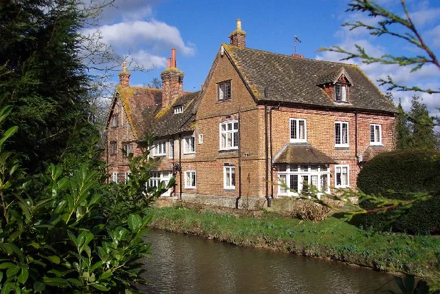
Cudworth Manor
Stately homes · 1.0 km

Henfold House
Manor houses · 1.9 km

Henfold Lakes Fishery and Caravan Park
Caravan parks · 1.9 km
Henfold Campsite
Campsites · 2.0 km

Amphitheatre
Theatres · 2.6 km

Surrey Hills Park
Caravan parks · 2.6 km

Capel Military Show
Natural landmarks · 2.7 km

Holmwood
Villages · 3.2 km
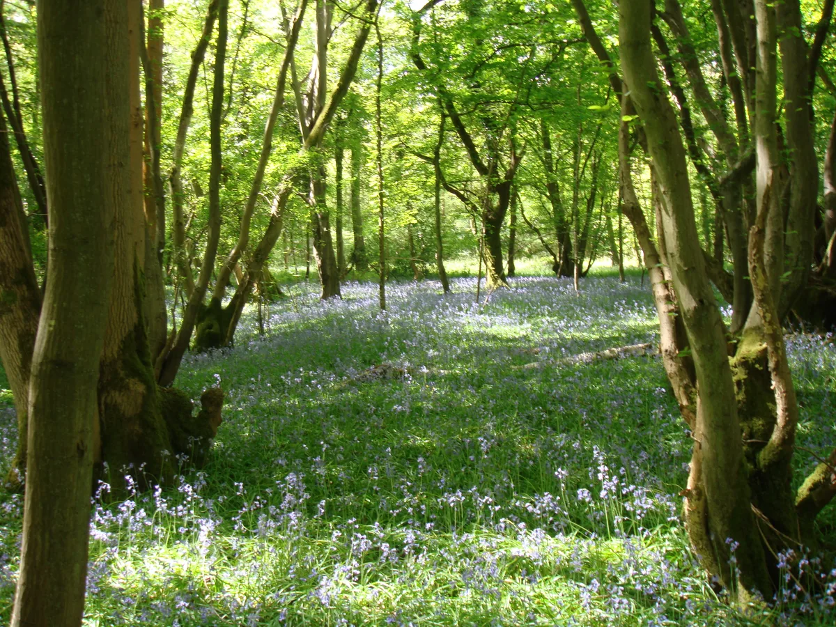
Glover's Wood
Archaeological sites · 3.3 km

Mynthhurst
Manor houses · 3.6 km

Lowfield Heath Windmill
Windmills · 3.6 km

Little Mynthurst Fram
Manor houses · 3.7 km
Nearby
📷 5Stately homes · South East England
Cudworth Manor
Cudworth Manor — Grade II listed privately owned moated country house in Newdigate, Mole Valley, Surrey, England, UK.
📷 5Manor houses · South East England
Henfold House
Henfold House — a manor in South East England, United Kingdom.
📷 5Caravan parks · South East England
Henfold Lakes Fishery and Caravan Park
Henfold Lakes Fishery and Caravan Park — a caravan park in england south east.
📷 5📷 5📷 5Caravan parks · South East England
Surrey Hills Park
Surrey Hills Park — a caravan park in england south east.
Where to eat & stay near Newdigate Brickworks
Places to stay
📷 5Caravan parks · South East England
Henfold Lakes Fishery and Caravan Park
Henfold Lakes Fishery and Caravan Park — a caravan park in england south east.
📷 5📷 5Caravan parks · South East England
Surrey Hills Park
Surrey Hills Park — a caravan park in england south east.
 📷 5
📷 5Hotels · South East England
Trivelles Gatwick Hotel
Trivelles Gatwick Hotel — a hotel in england south east. 4-star. Brand: Trivelles.
 📷 7
📷 7Hotels · South East England
Hampton by Hilton London Gatwick Airport
Hampton by Hilton London Gatwick Airport — a hotel in england south east. Brand: Hampton.
 📷 5
📷 5Places to eat & drink
 📷 7
📷 7Historic pubs · South East England
The Seven Stars Public House
The Seven Stars Public House in England South East, United Kingdom.
 📷 5
📷 5Historic pubs · South East England
The Old School Public House
The Old School Public House in England South East, United Kingdom.
 📷 7
📷 7 📷 5
📷 5Historic pubs · South East England
The Skimmington Castle Public House
The Skimmington Castle Public House in England South East, United Kingdom.
 📷 5
📷 5Historic pubs · South East England
Old Punch Bowl
Old Punch Bowl in England South East, United Kingdom.
 📷 5
📷 5Historic pubs · South East England
White Hart Inn
White Hart Inn in England South East, United Kingdom.
More forests in this region
 📷 5
📷 5Forests & woodlands · South East England
Darland Banks
Darland Banks is a forest or woodland in the United Kingdom.
.jpg?width=1200) 📷 5
📷 5Forests & woodlands · South East England
Inholms Lane Clay Pit Nature Reserve
Inholms Lane Clay Pit Nature Reserve is a forest or woodland in the United Kingdom.
 📷 5
📷 5Forests & woodlands · South East England
Jeskyns Community Woodland
Jeskyns Community Woodland is a forest or woodland in the United Kingdom.
 📷 5
📷 5Forests & woodlands · South East England
Oxmore Copse
Oxmore Copse is a forest or woodland in the United Kingdom.
Frequently asked questions
- Where is Newdigate Brickworks?
- Newdigate Brickworks is in Surrey, South-East England, United Kingdom (postcode RH5 5DN), in the parish of Newdigate.
- What is Newdigate Brickworks?
- Newdigate Brickworks is a forest or woodland in the United Kingdom.
- How do I get to Newdigate Brickworks?
- The nearest railway station is Holmwood, about 3.2 km away. The nearest town is Rusper. Drivers can use postcode RH5 5DN.
- Who owns Newdigate Brickworks?
- Newdigate Brickworks is owned by Surrey Wildlife Trust.
- Is Newdigate Brickworks a protected site?
- Yes — Newdigate Brickworks is part of the High Weald National Landscape (AONB) and the Surrey Hills National Landscape (AONB).
- Is Newdigate Brickworks free to visit?
- Yes, Newdigate Brickworks is free to enter.
- How do I get to Newdigate Brickworks?
- The nearest railway station is Holmwood, about 3.2 km away. Drivers can navigate to postcode RH5 5DN.