
Towns & cities · South Wales
Nempnett Thrubwell
Nempnett Thrubwell — village and civil parish in Somerset, UK.

Wikimedia Commons contributors — see linked file page for photographer and licence licence

Plan your visit
- Typical visit
- 3 h–6 h
- Free entry
- Family-friendly
- Dog-friendly
About
Nempnett Thrubwell is a town, city, village or settlement in the United Kingdom. Recent population estimates put it at around 177 people. Address: BS40. Wikidata describes it as: "village and civil parish in Somerset, UK". Coordinates: 51.3379°, -2.6798°.
Photo gallery
Protected designations
- Site of Special Scientific Interest: Blagdon Lake SSSI
- Site of Special Scientific Interest: Severn Estuary SSSI
- Area of Outstanding Natural Beauty: Mendip Hills
Designations sourced from Natural England open data under OGL v3.
From the Wikipedia article
Nempnett Thrubwell is a small village and civil parish in dairying country on the western edge of Bath and North East Somerset, in the county of Somerset, England. It is about 15 km south-west of Bristol. The parish, which has a population of 177, is sheltered by the Mendip Hills, near the River Yeo in the Chew Valley. It is the site of the Fairy Toot oval barrow. Lying just to the north of Blagdon Lake, isolated Nempnett Thrubwell falls within the network of minor roads bounded by the A38, A368, B3114 and B3130; whilst signposted from each of these major routes, a lack of any further signposting makes it difficult to locate the village when arriving by road. The landscape is characterized by isolated farmsteads, the vernacular older buildings generally of the local Lias limestone or of render with clay-tiled roofs. Though being largely rural Nempnett Thrubwell's comedic name makes the village something of a local attraction. It is the subject of the song Down In Nempnett Thrubwell by The Wurzels and is mentioned in the earlier Adge Cutler song Up The Clump.
Excerpt from Wikipedia under CC BY-SA 4.0. See the source article linked in Sources below.
Background
History
Nempnett and Thrubwell were originally separate places. The name Nempnett comes from the Old English word emnet, meaning "level ground" (the initial N was carried over from the definite article, an example of misdivision). Thrubwell's name is of uncertain origin, but may mean "gushing stream". The parish of Nempnett Thrubwell was part of the Keynsham Hundred.
Description
In the parish, the Fairy Toot is an extensive oval barrow, formerly a chambered cairn which is a Scheduled Ancient Monument. The Fairy Toot south-southwest of Howgrove Farm is a mound 60 m long, 25 m wide and now 2.5 m high, retained by a stone wall. Its summit is covered with ash trees and shrubs. Formerly it was considerably higher. On being opened in 1789 and essentially destroyed, it was found to contain two rows of cells, running from south to north, formed by immense stones set edgeways, and covered by others of larger dimensions. At the time it was conjectured to be a work of the Druids, but its origins are far older and probably date from the Neolithic period. Wade and Wade in their…
Sourced from Wikipedia under CC BY-SA 4.0.
- Coordinates
- 51.3379, -2.6798
- District
- Bath and North East Somerset
- Parish
- Nempnett Thrubwell
- Postcode
- BS40
- Parliamentary constituency
- North East Somerset and Hanham
- Population
- 177
- Official site
- neighbourhood.statistics.gov.uk
Sources
- wikidata: Q1877111 (CC0)
- wikipedia: Nempnett Thrubwell (CC BY-SA 4.0)
- commons: Nempnett church.JPG (CC BY-SA 4.0)
Other places nearby

Belvedere Manor
Manor houses · 0.6 km
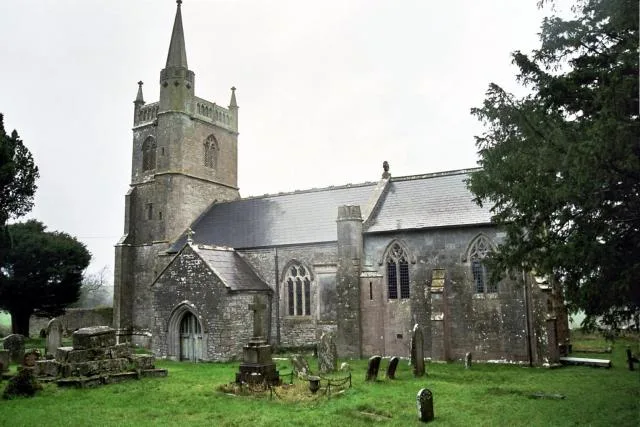
Church of St Mary, Nempnett Thrubwell
Historic churches · 0.6 km

Blagdon Lake
Reservoirs & lochs · 1.3 km

Fairy Toot
Memorials & monuments · 1.8 km

Ubley
Villages · 1.8 km

Church of St Bartholomew, Ubley
Historic churches · 1.9 km

Walnut Tree Farm Camping
Campsites · 2.1 km

Byewash Bridge
Historic bridges · 2.3 km

Blagdon Pumping Station & Visitor Centre
Museums · 2.4 km

Blagdon
Museums · 2.9 km

Chew Stoke
Towns & cities · 3.2 km
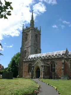
St Andrew's Church, Chew Stoke
Historic churches · 3.5 km
Nempnett Thrubwell is located in South Wales and offers several notable sites for visitors. You can explore the Church of St Mary, the Charterhouse Camp vineyard, and the scenic Blagdon Lake. These attractions provide a pleasant overview of the local area's heritage and landscape.
At a glance
- Population
- 177
- Constituency
- North East Somerset and Hanham
- Top categories near here
Things to see in Nempnett Thrubwell
28 attractions within 12 km — showing the 24 most editorially-significant. Full guide: things to do in Nempnett Thrubwell →
 📷 5
📷 5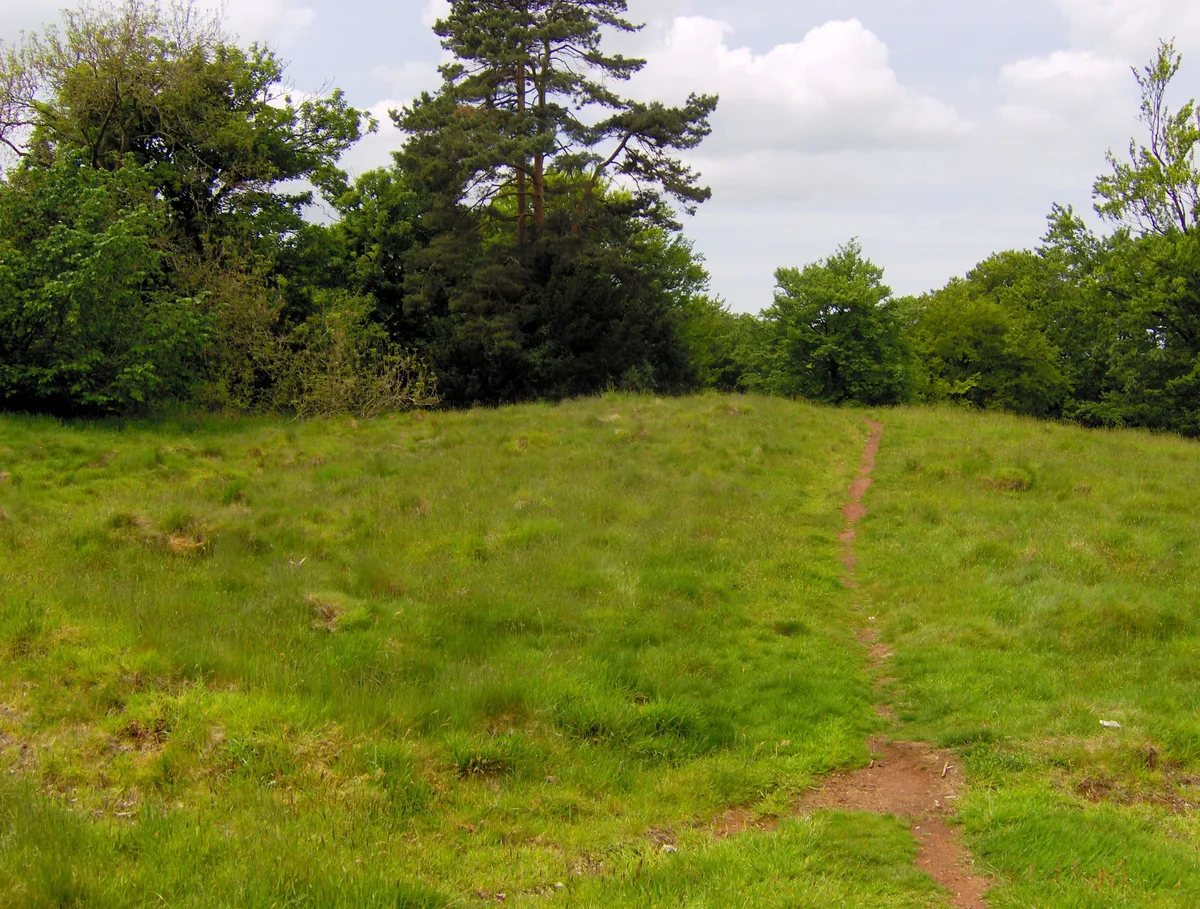 📷 3
📷 3Castles · South West England
Richmont Castle
Richmont Castle — castle in East Harptree, Bath and North East Somerset, Somerset, England, UK.
 📷 3
📷 3Mountains & hills · South West England
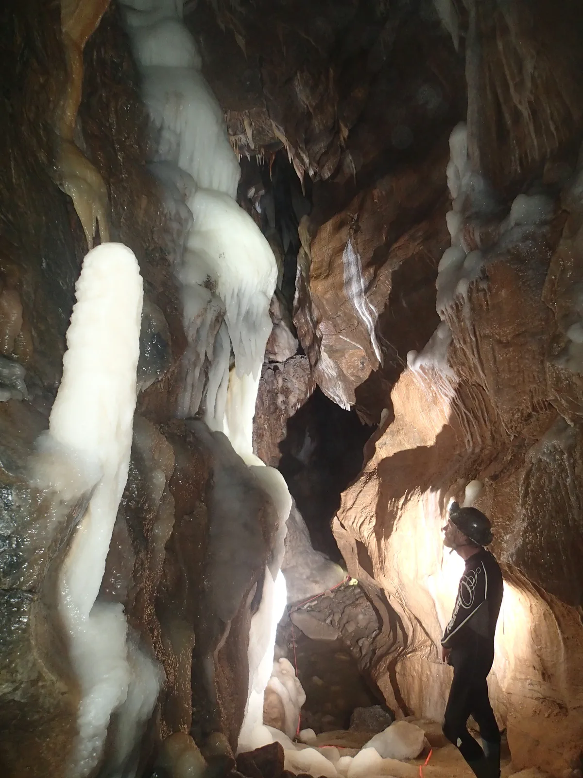
Upper Flood Swallet
Upper Flood Swallet — limestone cave in Somerset, England.
.jpg?width=1200) 📷 3
📷 3Caves · South West England
Upper Flood Swallet
Upper Flood Swallet is a cave in the United Kingdom.
 📷 3
📷 3Caves · South West England
Waterwheel Swallet
Waterwheel Swallet is a cave in the United Kingdom.
 📷 5
📷 5Caves · South West England
Lamb Leer
Lamb Leer — a cave broad in england-south-west, United Kingdom.
 📷 5
📷 5Vineyards · South West England
Charterhouse Camp
Charterhouse Camp — a UK vineyard in england south west, producing English or Welsh wine from cool-climate grape varieties.
 📷 5
📷 5Mountains & hills · South West England
Niver Hill
Niver Hill — mountain in england south west. Elevation: 301 m.
 📷 5
📷 5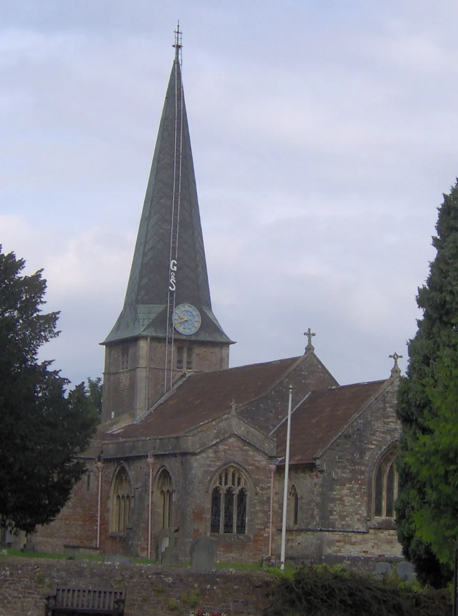 📷 3
📷 3Historic churches · South West England
Church of St Mary, West Harptree
Church of St Mary, West Harptree — church in Bath and North East Somerset, England, UK.
 📷 4
📷 4 📷 5📷 5📷 3
Historic bridges · South Wales
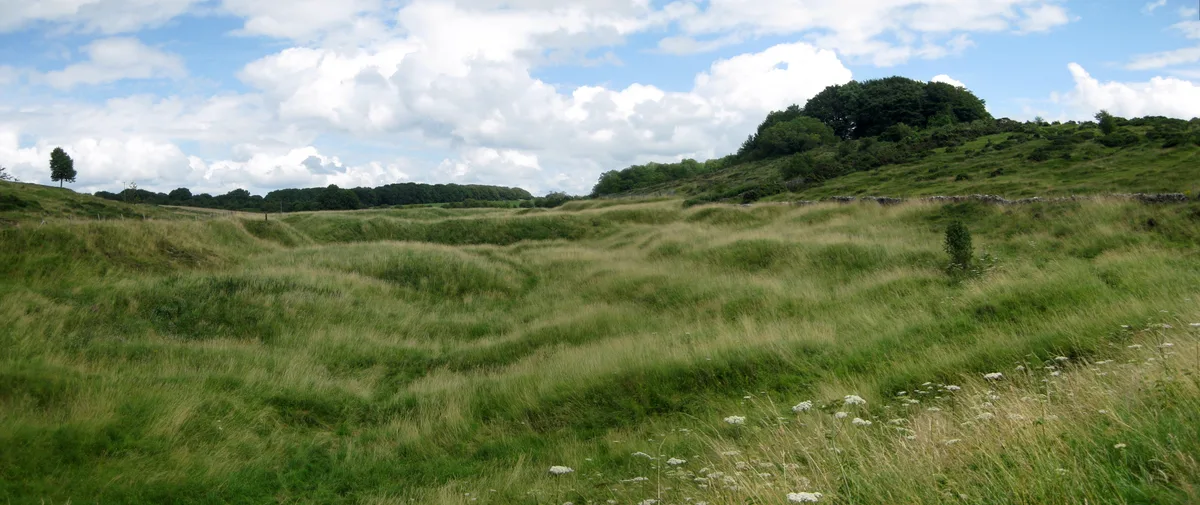
Byewash Bridge
Byewash Bridge is a historic bridge in the United Kingdom.
 📷 3
📷 3Hill forts · South Wales
Charterhouse Roman Town
Charterhouse Roman Town — town in the Roman province of Britannia, located close to Charterhouse-on-Mendip.
📷 3Historic churches · South Wales
Church of St Bartholomew, Ubley
Church of St Bartholomew, Ubley — church in Ubley, Bath and North East Somerset, England, UK.
📷 5Historic churches · South Wales
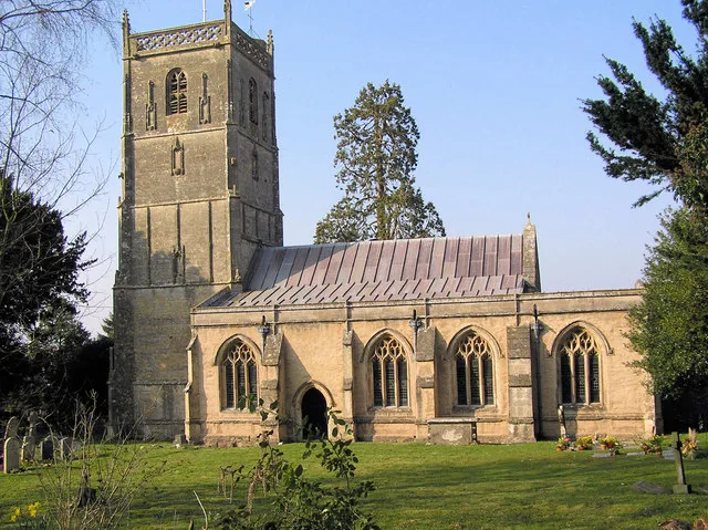
Church of St Mary, Nempnett Thrubwell
Church of St Mary, Nempnett Thrubwell — church in Bath and North East Somerset, England, UK.
 📷 5
📷 5Historic churches · South Wales
Church of St Michael the Archangel, Compton Martin
Church of St Michael the Archangel, Compton Martin — church in Bath and North East Somerset, England, UK.
📷 4Memorials & monuments · South Wales
Fairy Toot
The Fairy Toot is an extensive oval barrow in the civil parish of Nempnett Thrubwell, Somerset, England (grid reference ST520618). It is an example of the Severn-Cotswold tomb type which consist of pr
 📷 3
📷 3Archaeological sites · South Wales
Town Field rectangular enclosure
Town Field rectangular enclosure — an archaeological site in South Wales, United Kingdom.
 📷 3
📷 3Historic houses · South Wales
ROC Post West Harptree
ROC Post West Harptree — a historic house in South Wales, United Kingdom.
📷 3Museums · South Wales
Blagdon Pumping Station & Visitor Centre
Blagdon Pumping Station & Visitor Centre — a museum in South Wales, United Kingdom.
📷 3Manor houses · South Wales
Belvedere Manor
Belvedere Manor — Grade II listed building-listed manor in wales-south, United Kingdom.
📷 5Nearby
📷 3Manor houses · South Wales
Belvedere Manor
Belvedere Manor — Grade II listed building-listed manor in wales-south, United Kingdom.
📷 5Historic churches · South Wales
Church of St Mary, Nempnett Thrubwell
Church of St Mary, Nempnett Thrubwell — church in Bath and North East Somerset, England, UK.
📷 5📷 4Memorials & monuments · South Wales
Fairy Toot
The Fairy Toot is an extensive oval barrow in the civil parish of Nempnett Thrubwell, Somerset, England (grid reference ST520618). It is an example of the Severn-Cotswold tomb type which consist of pr
📷 5📷 3Historic churches · South Wales
Church of St Bartholomew, Ubley
Church of St Bartholomew, Ubley — church in Ubley, Bath and North East Somerset, England, UK.
Where to eat & stay near Nempnett Thrubwell
Places to stay
📷 5Campsites · South Wales
Walnut Tree Farm Camping
Walnut Tree Farm Camping — a campsite in wales south.
 📷 5
📷 5Campsites · South Wales
Brook Lodge Farm Camping & Caravan Park
Brook Lodge Farm Camping & Caravan Park — a campsite in wales south.
 📷 5
📷 5Caravan parks · South West England
Chew Valley Caravan Park
Chew Valley Caravan Park — a caravan park in england south west.
 📷 5
📷 5Hotels · South Wales
Hampton by Hilton Bristol Airport
Hampton by Hilton Bristol Airport — a hotel in wales south. 3-star. Brand: Hampton.
 📷 5
📷 5Campsites · South West England
Nettwood Country Breaks
Nettwood Country Breaks — a campsite in england south west.
 📷 5
📷 5Campsites · South West England
Bristol View Glamping
Bristol View Glamping — a campsite in wales south.
Places to eat & drink
 📷 7
📷 7 📷 5
📷 5Historic pubs · South Wales
The Old Farmhouse
The Old Farmhouse in Wales South, United Kingdom.
 📷 7
📷 7 📷 5
📷 5 📷 5
📷 5 📷 7
📷 7Historic pubs · South West England
Nova Scotia
Nova Scotia in Wales South, United Kingdom.
More towns in this region
 📷 4
📷 4Towns & cities · South Wales
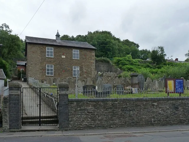
Argoed
Argoed — village and community in Caerphilly County Borough, Wales.
 Flagship📷 3
Towns & cities · South Wales
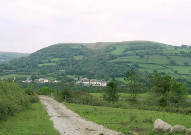
Betws
Betws — village and community in Carmarthenshire, Wales.
 Flagship📷 5
Towns & cities · South Wales
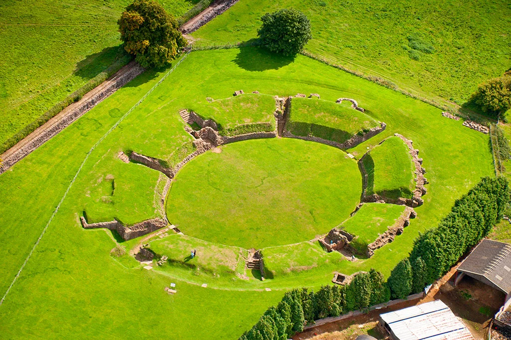
Caerleon
Caerleon — village and community in Newport, Wales, UK.
 Flagship📷 3
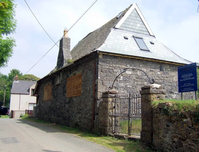
Towns & cities · South Wales
Camrose
Camrose — village and community in Pembrokeshire, Wales, UK.
Frequently asked questions
- Where is Nempnett Thrubwell?
- Nempnett Thrubwell is in South Wales, United Kingdom (postcode BS40), in the parish of Nempnett Thrubwell.
- What is Nempnett Thrubwell?
- Nempnett Thrubwell — village and civil parish in Somerset, UK.
- How do I get to Nempnett Thrubwell?
- Drivers can use postcode BS40.
- Is Nempnett Thrubwell a protected site?
- Yes — Nempnett Thrubwell is part of the Blagdon Lake SSSI Site of Special Scientific Interest and the Severn Estuary SSSI Site of Special Scientific Interest.
- Is Nempnett Thrubwell free to visit?
- Yes, Nempnett Thrubwell is free to enter.
- How do I get to Nempnett Thrubwell?
- Drivers can navigate to postcode BS40. It sits within the North East Somerset and Hanham parliamentary constituency.