
Caves · South West England
Lamb Leer
In or near Nempnett Thrubwell.
Lamb Leer — a cave broad in england-south-west, United Kingdom.

David Purchase — CC BY-SA 2.0 via Wikimedia Commons licence

Plan your visit
- Typical visit
- 45 min–1.5 h
- Free entry
- Dog-friendly
About
Lamb Leer is a cave broad located in england-south-west, United Kingdom. Catalogued from Wikidata's UK heritage register; see the linked Wikipedia article for further details on its history, architecture and visiting information.
Photo gallery
Protected designations
- Site of Special Scientific Interest: Lamb Leer SSSI
- National Nature Reserve: MENDIP
- Area of Outstanding Natural Beauty: Mendip Hills
Designations sourced from Natural England open data under OGL v3.
Place summary
Lamb Leer is a cave located in South-West England. It is notable for its geological formations and is part of the region's natural heritage.
AI-generated from the structured facts on this page (operator, designation, listing, era). Not a substitute for visiting.
Background
History
Several explanations have been suggested for the origin of the name. One links to an old name for the area which was "Lambden". An alternative suggestion is that in the 1670s miners spoke of "leirey places, that is cavernous" which links to the German word "leer" which means void and may have been introduced by German miners. A more likely explanation is from the Anglo-Saxon word "lear" meaning empty or void. Lamb Leer Cavern was first found by miners looking for lead around 1676, and in 1681, the geologist John Beaumont, the pioneer of pit caving, gave an account of his descent into the cave to the Royal Society. It was rediscovered in 1880, when a new shaft was driven in, and became…
Description
The system is dry, lying well above the present day water-table, and it is thought that the passages may well have originated before the Ice Age (Pleistocene Period) began. Sediments preserved in the caves are important as they allow geologists to study the record of the changing environmental conditions which occurred over this long period of time. The first large chamber encountered is The Beehive which contains a large stalagmite boss. Next is the Great Chamber which is 30 m high and 20 m across, and contains some formations. A passage from the roof of the Great Chamber leads to the St Valentine Series of passages, a number of which are well decorated.
Sourced from Wikipedia under CC BY-SA 4.0.
- Coordinates
- 51.2923, -2.6553
- District
- Somerset
- Parish
- Priddy
- Postcode
- BS40 6EN
- Parliamentary constituency
- Wells and Mendip Hills
Sources
Other places nearby

Lamb's Leer Cavern
Caves · 0.0 km

ROC Post West Harptree
Historic houses · 1.1 km

Niver Hill
Mountains & hills · 1.9 km
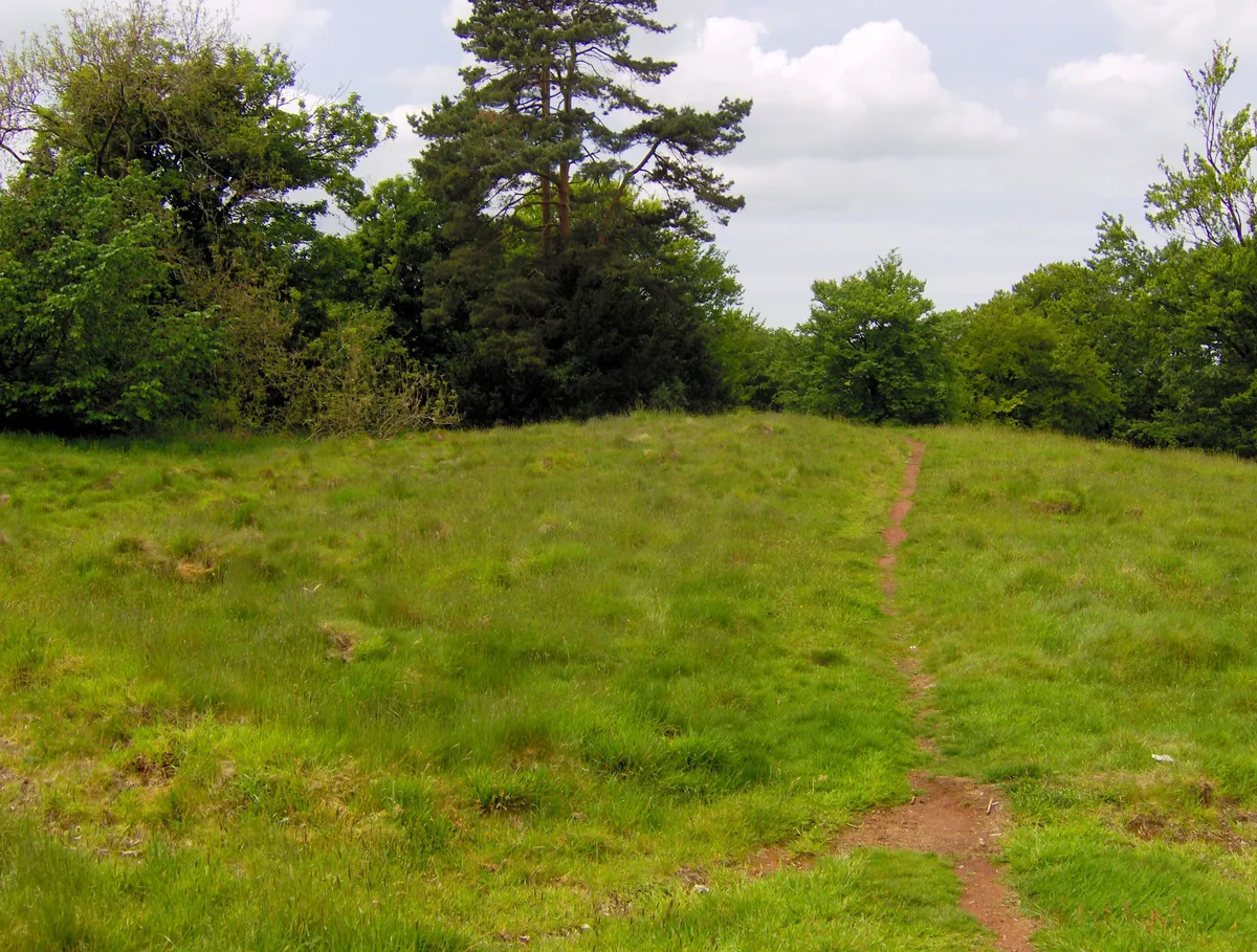
Richmont Castle
Castles · 1.9 km
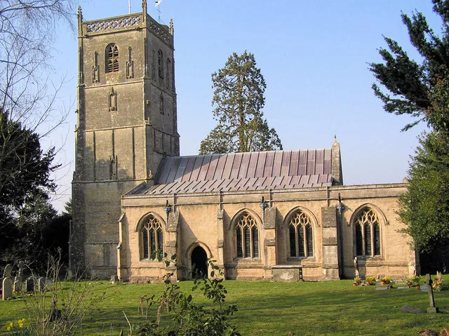
Church of St Michael the Archangel, Compton Martin
Historic churches · 2.0 km

Nettwood Country Breaks
Campsites · 2.2 km
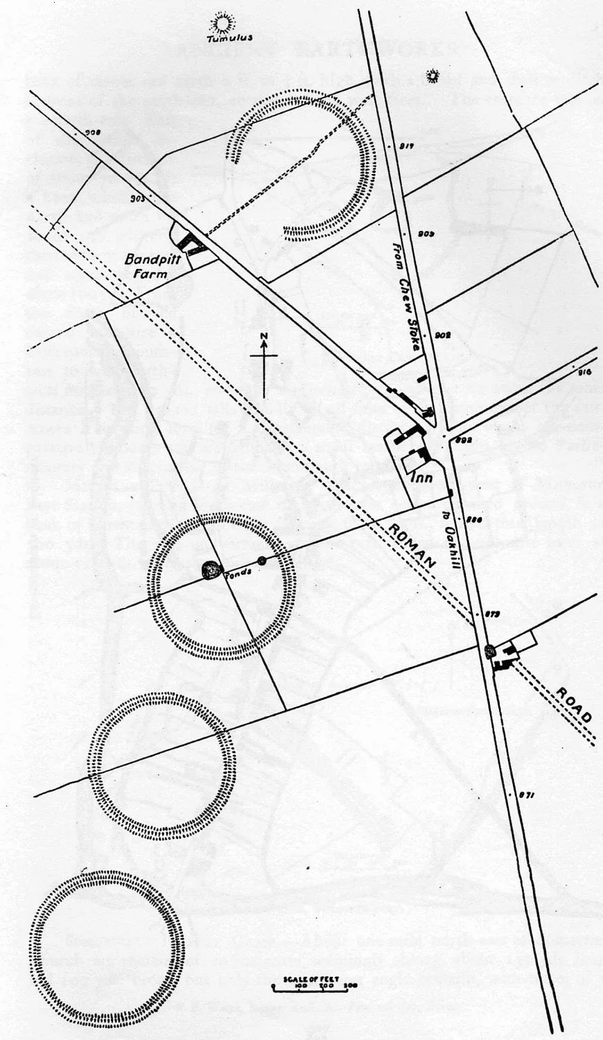
Priddy Circles
Hill forts · 2.2 km

Church of St Laurence, East Harptree
Historic churches · 2.3 km
Niver North Top
Mountains & hills · 2.4 km

Gournay Court
Gardens · 2.4 km

West Harptree
Villages · 2.5 km
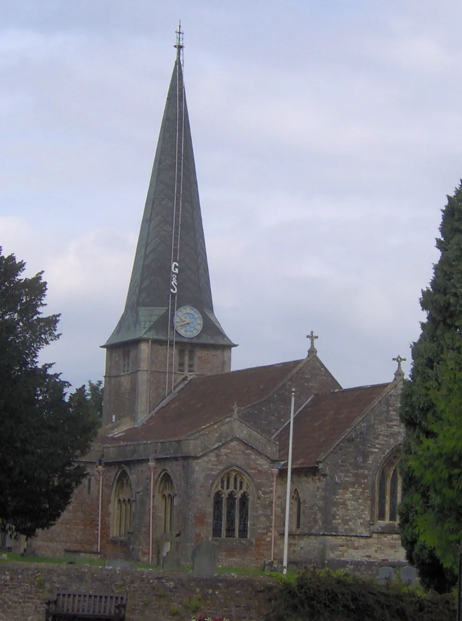
Church of St Mary, West Harptree
Historic churches · 2.5 km
Nearby
📷 5📷 3Historic houses · South Wales
ROC Post West Harptree
ROC Post West Harptree — a historic house in South Wales, United Kingdom.
📷 5Mountains & hills · South West England
Niver Hill
Niver Hill — mountain in england south west. Elevation: 301 m.
📷 3Castles · South West England
Richmont Castle
Richmont Castle — castle in East Harptree, Bath and North East Somerset, Somerset, England, UK.
📷 5Historic churches · South Wales
Church of St Michael the Archangel, Compton Martin
Church of St Michael the Archangel, Compton Martin — church in Bath and North East Somerset, England, UK.
📷 5Campsites · South West England
Nettwood Country Breaks
Nettwood Country Breaks — a campsite in england south west.
Where to eat & stay near Lamb Leer
Places to stay
📷 5Campsites · South West England
Nettwood Country Breaks
Nettwood Country Breaks — a campsite in england south west.
 📷 5
📷 5Campsites · South West England
Cheddar Mendip Heights Campsite
Cheddar Mendip Heights Campsite — a campsite in england south west.
 📷 5
📷 5Campsites · South West England
Ebborways Camping
Ebborways Camping — a campsite in england south west.
 📷 5
📷 5Caravan parks · South West England
Chew Valley Caravan Park
Chew Valley Caravan Park — a caravan park in england south west.
 📷 5
📷 5Campsites · South Wales
Walnut Tree Farm Camping
Walnut Tree Farm Camping — a campsite in wales south.
 📷 5
📷 5Hotels · South West England
Cameley Lodge
Cameley Lodge — a hotel in england south west.
Places to eat & drink
 📷 5
📷 5 📷 5
📷 5Restaurants · South West England
Bekynton Brasserie
Bekynton Brasserie — a restaurant in england south west.
 📷 7
📷 7Historic pubs · South West England
The Bull Terrier
The Bull Terrier in England South West, United Kingdom.
 📷 7
📷 7 📷 7
📷 7Historic pubs · South West England
The Wine Vaults, Public House
The Wine Vaults, Public House in England South West, United Kingdom.
 📷 7
📷 7Historic pubs · South West England
Knatchbull Arms
Knatchbull Arms in England South West, United Kingdom.
More caves in this region
 📷 5
📷 5Caves · South West England
Ariel Cave (Blacknor Hole)
Ariel Cave (Blacknor Hole) is a cave in the United Kingdom.
 📷 5
📷 5Caves · South West England
Ariel Cave (Blacknor Hole), Queens Entrance
Ariel Cave (Blacknor Hole), Queens Entrance is a cave in the United Kingdom.
 📷 5📷 5
Frequently asked questions
- Where is Lamb Leer?
- Lamb Leer is in South-West England, United Kingdom (postcode BS40 6EN), in the parish of Priddy.
- What is Lamb Leer?
- Lamb Leer — a cave broad in england-south-west, United Kingdom.
- How do I get to Lamb Leer?
- The nearest town is Nempnett Thrubwell. Drivers can use postcode BS40 6EN.
- Is Lamb Leer a protected site?
- Yes — Lamb Leer is part of the Lamb Leer SSSI Site of Special Scientific Interest and the MENDIP National Nature Reserve.
- Is Lamb Leer free to visit?
- Yes, Lamb Leer is free to enter.
- How do I get to Lamb Leer?
- Drivers can navigate to postcode BS40 6EN. It sits within the Wells and Mendip Hills parliamentary constituency.