
Hill forts · East of England
Mucking excavation
In or near Little Burstead.
Mucking excavation — Archaeological site in Essex, England.

Wikimedia Commons contributors — see linked file page for photographer and licence licence

Plan your visit
- Typical visit
- 1 h–2 h
- Nearest railway station
- East Tilbury · 1.6 km
- Free entry
- Dog-friendly
Getting there & planning your visit
To visit the Mucking excavation, the nearest railway station is East Tilbury, located 1.6 km away. The postcode for the site is SS17 0RN, and entry is free.
About
Mucking excavation is a hill fort in the United Kingdom. Wikidata describes it as: "Archaeological site in Essex, England". Coordinates: 51.4939°, 0.4300°.
Photo gallery
Protected designations
- Site of Special Scientific Interest: South Thames Estuary and Marshes SSSI
Designations sourced from Natural England open data under OGL v3.
From the Wikipedia article
Mucking is an archaeological site near the village of Mucking in southern Essex. The site contains remains dating from the Neolithic to the Middle Ages—a period of some 3,000 years—and the Bronze Age and Anglo-Saxon features are particularly notable. Major excavations took place at the site between 1965 and 1978, directed by Margaret Ursula Jones. Covering an area of 18 hectares (44 acres), at the time it was the largest archaeological excavation in Europe, and is the largest excavation ever undertaken in the British Isles. Excavation continued year-round to stay ahead of gravel extraction that was rapidly destroying the site, accumulating an "astonishing" volume of material. Only a fraction of this was analysed or published in Jones' lifetime, and ultimately the bulk of the post-excavation work was left to others. The first volume of a "full publication" was not published until 2015, by which point the post-excavation phase had cost significantly more than the initial excavation. This led some to criticise Mucking as an irresponsible, "excavation without publication".
Excerpt from Wikipedia under CC BY-SA 4.0. See the source article linked in Sources below.
Background
Description
Some analysis suggested that the site had been abandoned by the Romano-British during the 4th century and there was a gap before the Saxon occupation of the site began in the early 5th century. However, "the site’s Late Roman pottery evidence suggests that the Saxons got there very early – possibly even in the later decades of the fourth century". During or after the 8th century, the settlement was either abandoned, or drifted beyond the area that was excavated. The area previously occupied by the Anglo-Saxon settlement became part of a Saxo-Norman field system.
Sourced from Wikipedia under CC BY-SA 4.0.
- Coordinates
- 51.4939, 0.4300
- District
- Thurrock
- Parish
- Thurrock, unparished area
- Postcode
- SS17 0RN
- Parliamentary constituency
- South Basildon and East Thurrock
- Nearest railway station
- East Tilbury — 1.6 km
Sources
- wikidata: Q6931178 (CC0)
- wikipedia: Mucking (archaeological site) (CC BY-SA 4.0)
- commons: Mucking fittingsDSCF9566.JPG (CC BY-SA 4.0)
Other places nearby
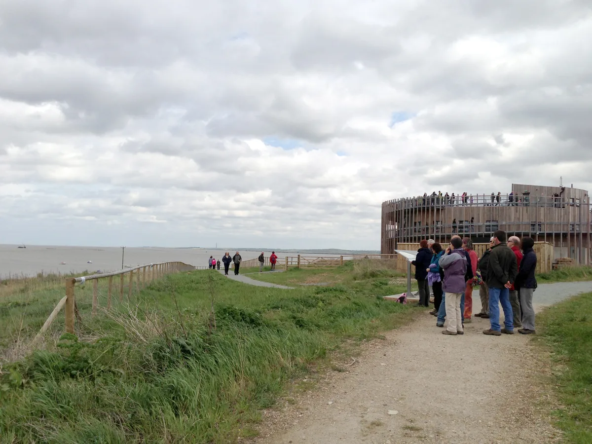
Thurrock Thameside Nature Park
Wildlife reserves · 0.4 km

Butterfly hare
Public art & sculpture · 0.8 km

Thurrock Thameside Nature Park
Forests & woodlands · 0.8 km

Starry hare
Public art & sculpture · 0.9 km

Roman Pottery
Archaeological sites · 0.9 km

Mucking Wharf
Piers · 1.0 km

Sea hare
Public art & sculpture · 1.1 km

Bluehouse Farm
Historic houses · 1.1 km
Thurrock
Museums · 1.1 km

Walton Hall Farm
Caravan parks · 1.2 km
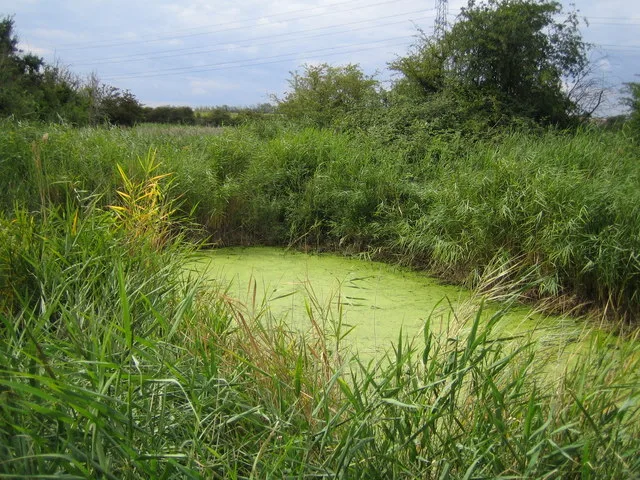
Stanford Warren
Wildlife reserves · 1.2 km
Roman Burials
Archaeological sites · 1.2 km
Nearby
Flagship📷 10Wildlife reserves · East of England
Thurrock Thameside Nature Park
Thurrock Thameside Nature Park — Essex Wildlife Trust Nature reserve.
📷 5Public art & sculpture · East of England
Butterfly hare
Butterfly hare — a public art in england-london, United Kingdom.
📷 5Forests & woodlands · East of England
Thurrock Thameside Nature Park
Thurrock Thameside Nature Park is a forest or woodland in the United Kingdom.
📷 5Public art & sculpture · East of England
Starry hare
Starry hare — a public art in england-london, United Kingdom.
📷 5Archaeological sites · East of England
Roman Pottery
Roman Pottery — a archaeological in england-london, United Kingdom.
📷 5Where to eat & stay near Mucking excavation
Places to stay
📷 5 📷 5
📷 5Campsites · East of England
Thames View Camping
Thames View Camping — a campsite in england london.
 📷 5
📷 5Campsites · East of England
Condovers Scout Activity Centre
Condovers Scout Activity Centre — a campsite in england london.
 📷 5
📷 5 📷 5
📷 5B&Bs · South East England
Jessamine House
Jessamine House — a bed-and-breakfast in england london.
 📷 5
📷 5Places to eat & drink
 📷 5
📷 5 📷 5
📷 5 📷 5
📷 5Historic pubs · East of England
White Lion Public House
White Lion Public House in England South East, United Kingdom.
 📷 7
📷 7Historic pubs · South East England
Crown & Thistle
Crown & Thistle in England South East, United Kingdom.
 📷 5
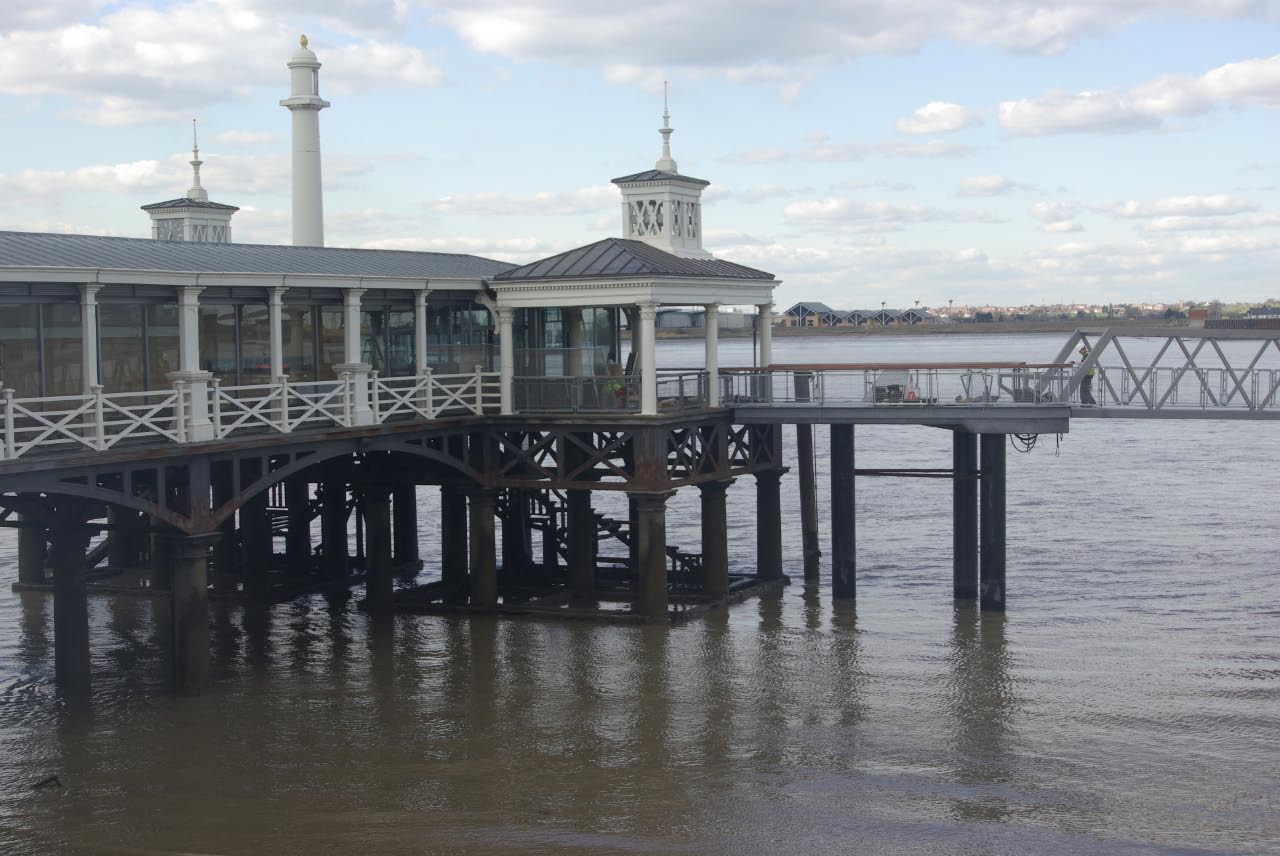
📷 5Restaurants · East of England
Five Bells
Five Bells — a restaurant in england london. Cuisine: american. Brand: Harvester.
 📷 7
📷 7Historic pubs · South East England
The Three Daws Public House
The Three Daws Public House in England South East, United Kingdom.
More places in this region
 📷 5
📷 5Hill forts · East of England
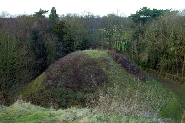
Bartlow Hills
Bartlow Hills — Roman tumuli cemetery in Bartlow (Cambridgeshire, UK).
 📷 5
📷 5Hill forts · East of England
Bedford Castle
Bedford Castle — castle in Bedfordshire, England, UK.
.jpg?width=1200) 📷 5
📷 5Hill forts · East of England
Beech Bottom Dyke
Beech Bottom Dyke — Iron Age ditch in St Albans, Hertfordshire, England, UK.
 📷 5
📷 5Hill forts · East of England
Braughing Roman Town
Braughing Roman Town — archaeological site in Braughing, East Hertfordshire, England, UK.
Frequently asked questions
- Where is Mucking excavation?
- Mucking excavation is in London, United Kingdom (postcode SS17 0RN), in the parish of Thurrock, unparished area.
- What is Mucking excavation?
- Mucking excavation — Archaeological site in Essex, England.
- How do I get to Mucking excavation?
- The nearest railway station is East Tilbury, about 1.6 km away. Drivers can use postcode SS17 0RN.
- Is Mucking excavation a protected site?
- Yes — Mucking excavation is part of the South Thames Estuary and Marshes SSSI Site of Special Scientific Interest.
- Is Mucking excavation free to visit?
- Yes, Mucking excavation is free to enter.
- How do I get to Mucking excavation?
- The nearest railway station is East Tilbury, about 1.6 km away. Drivers can navigate to postcode SS17 0RN.