
Public art & sculpture · East of England
Starry hare
In or near Little Burstead.
Starry hare — a public art in england-london, United Kingdom.

John Rostron — CC BY-SA 2.0 via Wikimedia Commons licence

Plan your visit
- Typical visit
- 1 h–2 h
- Nearest railway station
- Stanford-le-Hope · 1.9 km
- Free entry
- Dog-friendly
About
Starry hare is a public art located in england-london, United Kingdom. Sourced from OpenStreetMap (ODbL licence); see local listings for visitor information, opening hours and admission details.
Photo gallery
Protected designations
- Site of Special Scientific Interest: Mucking Flats and Marshes SSSI
- Ramsar wetland: Thames Estuary & Marshes
Designations sourced from Natural England open data under OGL v3.
From the Wikipedia article
The starry handfish (Halieutaea stellata), starry seabat or minipizza batfish, is species of marine ray-finned fish belonging to the family Ogcocephalidae, the deep-sea batfishes or seabats. This fish is found on the continental shelves of the Indo-Pacific oceans at depths of between 50 and 400 m. They are up to 30 cm long.
Excerpt from Wikipedia under CC BY-SA 4.0. See the source article linked in Sources below.
Background
Description
The starry handfish has a body which is a wide, flattened disc. The dorsal and anal fin each have 4 soft rays. The tail is shorter than the diameter of the disc. The space between the eyes is wide than the diameter of the eyes, there is a depression on the snout where the fishing apparatus is stored, the illicial cavity. The large mouth is located on the front of the head and is not overhung by the snout. The esca is made up of 2 lobes which are not clearly separate, a dorsal flap and a slender, ventral fringe. The pectoral fins stick out from the posterior margin of the disc while the pelvic fins are under the disc. The overall colour is pinkish to red marked with numerous spots which form…
Sourced from Wikipedia under CC BY-SA 4.0.
- Coordinates
- 51.5001, 0.4382
- District
- Thurrock
- Parish
- Thurrock, unparished area
- Postcode
- SS17 0EQ
- Parliamentary constituency
- South Basildon and East Thurrock
- Nearest railway station
- Stanford-le-Hope — 1.9 km
Sources
- osm: node/8781002717 (ODbL)
- wikipedia: Starry handfish (CC BY-SA 4.0)
Other places nearby

Thurrock Thameside Nature Park
Forests & woodlands · 0.1 km

Butterfly hare
Public art & sculpture · 0.2 km

Sea hare
Public art & sculpture · 0.2 km

Stanford Wharf RSPB reserve
Wildlife reserves · 0.6 km

Mucking Wharf
Piers · 0.7 km

Roman Pottery
Archaeological sites · 0.7 km
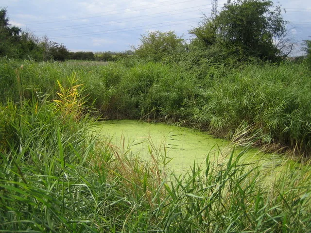
Stanford Warren
Wildlife reserves · 0.8 km

Stanford Warren Nature Reserve
Forests & woodlands · 0.9 km
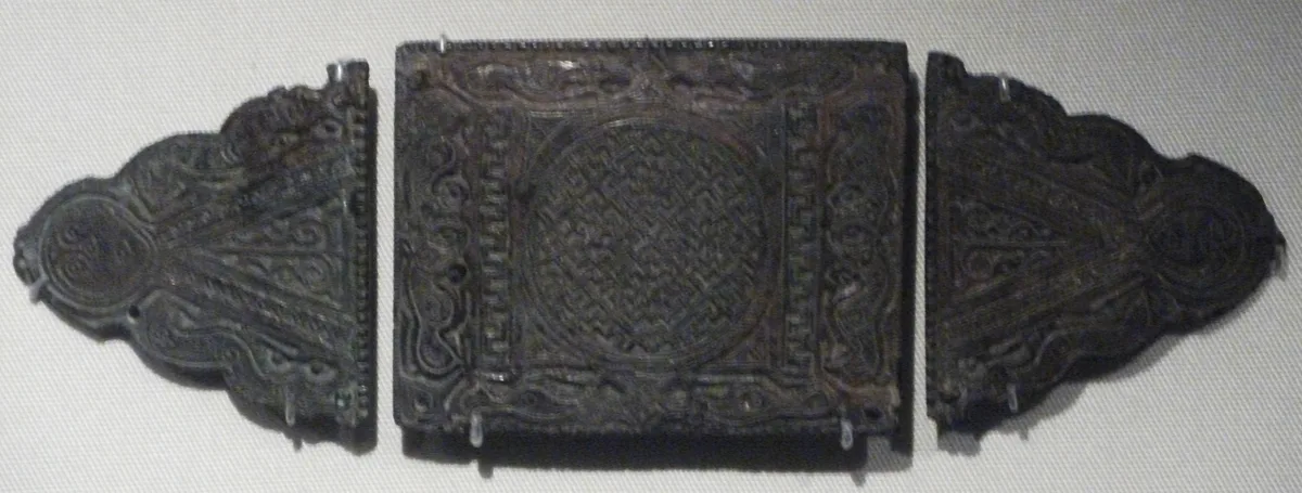
Mucking excavation
Hill forts · 0.9 km
Roman Burials
Archaeological sites · 0.9 km

Bluehouse Farm
Historic houses · 1.2 km
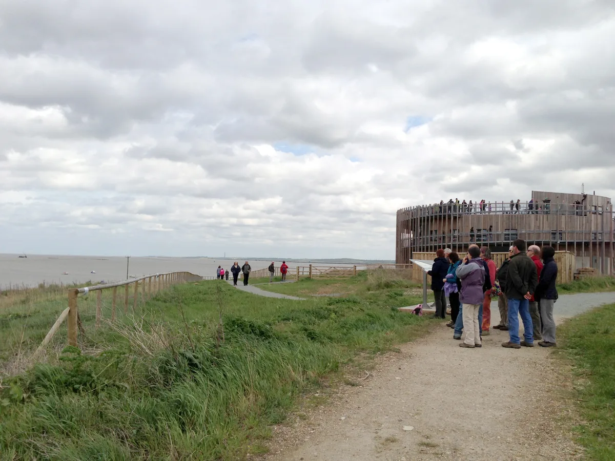
Thurrock Thameside Nature Park
Wildlife reserves · 1.3 km
Nearby
📷 5Forests & woodlands · East of England
Thurrock Thameside Nature Park
Thurrock Thameside Nature Park is a forest or woodland in the United Kingdom.
📷 5Public art & sculpture · East of England
Butterfly hare
Butterfly hare — a public art in england-london, United Kingdom.
📷 5Public art & sculpture · East of England
Sea hare
Sea hare — a public art in england-london, United Kingdom.
📷 5Wildlife reserves · East of England
Stanford Wharf RSPB reserve
Stanford Wharf RSPB reserve in England South East, United Kingdom.
📷 5📷 5Archaeological sites · East of England
Roman Pottery
Roman Pottery — a archaeological in england-london, United Kingdom.
Where to eat & stay near Starry hare
Places to stay
 📷 5
📷 5 📷 5
📷 5Campsites · East of England
Thames View Camping
Thames View Camping — a campsite in england london.
 📷 5
📷 5Campsites · East of England
Condovers Scout Activity Centre
Condovers Scout Activity Centre — a campsite in england london.
 📷 5
📷 5 📷 5
📷 5B&Bs · South East England
Jessamine House
Jessamine House — a bed-and-breakfast in england london.
 📷 5
📷 5Places to eat & drink
 📷 5
📷 5 📷 5
📷 5 📷 5
📷 5Historic pubs · East of England
White Lion Public House
White Lion Public House in England South East, United Kingdom.
 📷 5
📷 5Restaurants · East of England
Five Bells
Five Bells — a restaurant in england london. Cuisine: american. Brand: Harvester.
 📷 7
📷 7Historic pubs · South East England
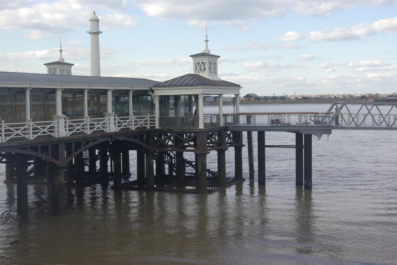
Crown & Thistle
Crown & Thistle in England South East, United Kingdom.
 📷 7
📷 7Historic pubs · South East England
The Three Daws Public House
The Three Daws Public House in England South East, United Kingdom.
More places in this region
 📷 5
📷 5Public art & sculpture · East of England
Bird In Flight
Bird In Flight — Public artwork (sculpture) by Bob Dawson.
 📷 5
📷 5Public art & sculpture · East of England
bust of Jagadish Chandra Bose
bust of Jagadish Chandra Bose — Public artwork (sculpture).
 📷 5
📷 5Public art & sculpture · East of England
Calvery's Ode To Tobacco
Calvery's Ode To Tobacco — Public artwork (mural).
 📷 5
📷 5Public art & sculpture · East of England
Cambridge Gateway from India
Cambridge Gateway from India — Public artwork (installation).
Frequently asked questions
- Where is Starry hare?
- Starry hare is in London, United Kingdom (postcode SS17 0EQ), in the parish of Thurrock, unparished area.
- What is Starry hare?
- Starry hare — a public art in england-london, United Kingdom.
- How do I get to Starry hare?
- The nearest railway station is Stanford-le-Hope, about 1.9 km away. Drivers can use postcode SS17 0EQ.
- Is Starry hare a protected site?
- Yes — Starry hare is part of the Mucking Flats and Marshes SSSI Site of Special Scientific Interest and the Thames Estuary & Marshes Ramsar wetland.
- Is Starry hare free to visit?
- Yes, Starry hare is free to enter.
- How do I get to Starry hare?
- The nearest railway station is Stanford-le-Hope, about 1.9 km away. Drivers can navigate to postcode SS17 0EQ.