
Historic churches · Yorkshire & the Humber
Mottram in Longdendale
In or near Old Glossop.
Mottram in Longdendale is a village in Tameside, Greater Manchester, England, 1 mile (1.6 km) west of Hadfield and 3 miles (4.8 km) east of Hyde. Within the historic county of Cheshire, it became part

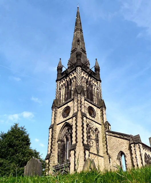
Gerald England — CC BY-SA 2.0 via Wikimedia Commons licence

Plan your visit
- Typical visit
- 30 min–1 h
- Nearest railway station
- Broadbottom · 1.8 km
- Free entry
Getting there & planning your visit
To visit Mottram in Longdendale, the nearest railway station is Broadbottom, located 1.8 km away. The postcode for navigation is SK14 6JH, and entry to the church is free.
About
Mottram in Longdendale is a village in Tameside, Greater Manchester, England, 1 mile (1.6 km) west of Hadfield and 3 miles (4.8 km) east of Hyde. Within the historic county of Cheshire, it became part of Greater Manchester in 1974. Mottram in Longdendale was an ancient parish which covered an extensive area of north-east Cheshire until it was split into smaller parishes in the 19th century. It lies in Longdendale, the valley of the River Etherow, and is close to the border with Derbyshire.
Photo gallery
From the Wikipedia article
Mottram in Longdendale is a village in Tameside, Greater Manchester, England, 1 mile (1.6 km) west of Hadfield and 3 miles (4.8 km) east of Hyde. Within the historic county of Cheshire, it became part of Greater Manchester in 1974. Mottram in Longdendale was an ancient parish which covered an extensive area of north-east Cheshire until it was split into smaller parishes in the 19th century. It lies in Longdendale, the valley of the River Etherow, and is close to the border with Derbyshire.
Excerpt from Wikipedia under CC BY-SA 4.0. See the source article linked in Sources below.
Background
History
In 1795, John Aikin described Mottram as follows: In the 18th century the River Etherow was known as the Mersey. The River Tame has been a border from the earliest times between the Anglo-Saxon kingdoms of Northumbria and Mercia. Mottram came to prominence as a transport hub. It lies on two pack horse routes used to carry salt from Cheshire to South Yorkshire over the Pennines and carry lime for soil improvement from Chapel-en-le-Frith. It was on the stagecoach route between Manchester and Sheffield. Before the Industrial Revolution, Mottram and Ashton-under-Lyne had been the most significant towns in the area. The manor and manorial court house were in Mottram, but other towns eclipsed…
Sourced from Wikipedia under CC BY-SA 4.0.
- Coordinates
- 53.4570, -2.0110
- District
- Tameside
- Parish
- Tameside, unparished area
- Postcode
- SK14 6JH
- Parliamentary constituency
- Stalybridge and Hyde
- Nearest railway station
- Broadbottom — 1.8 km
Sources
- wikipedia: Mottram in Longdendale (CC BY-SA 4.0)
Other places nearby

Statue of L.S. Lowry
Public art & sculpture · 0.1 km
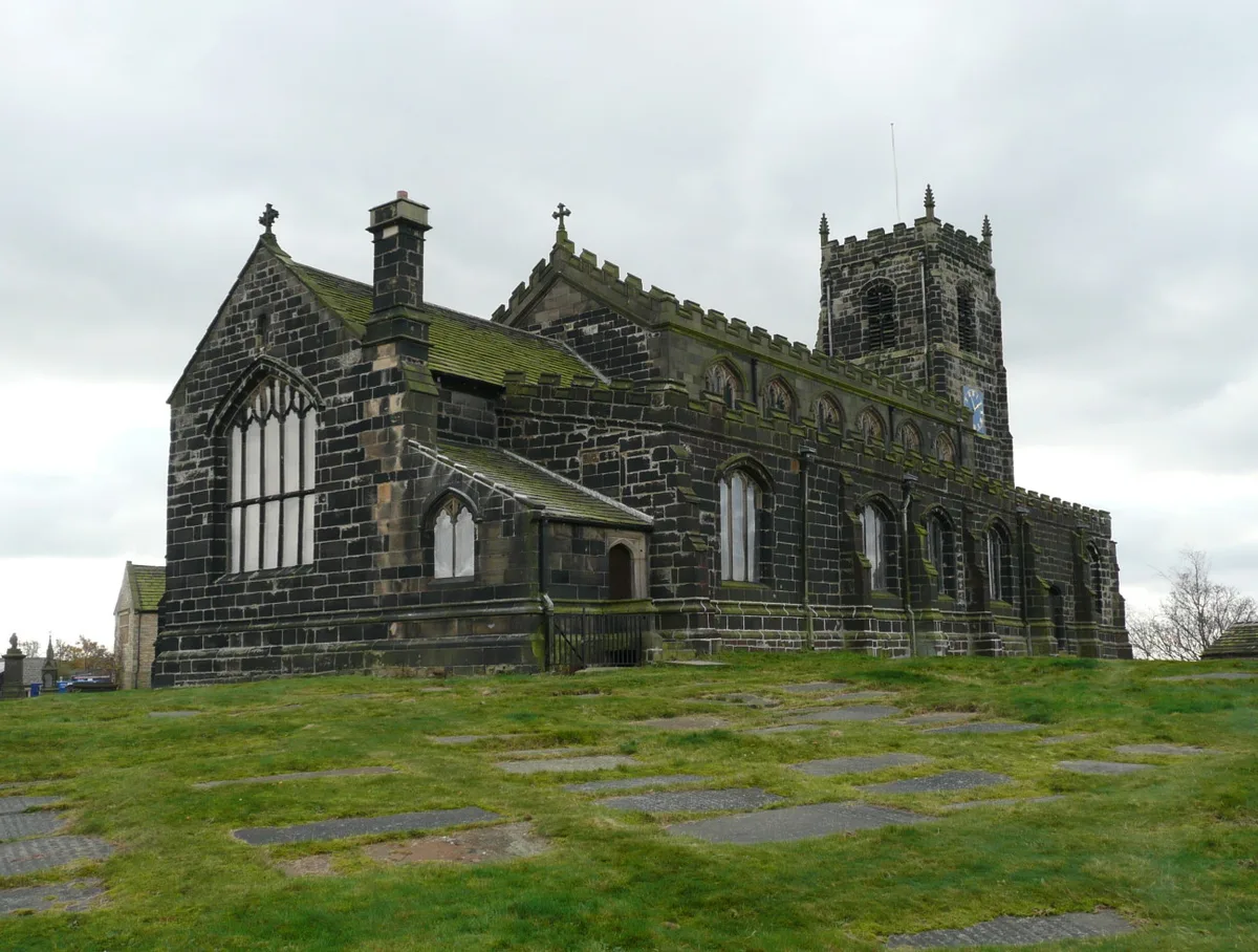
St Michael and All Angels Church, Mottram
Historic churches · 0.3 km

Hollingworth War Memorial
Memorials & monuments · 1.0 km

Harrop Edge
Mountains & hills · 1.3 km

Longdendale
Villages · 1.3 km

Ardotalia
Other places · 1.6 km

Melandra Castle
Castles · 1.6 km

Melandra Castle
Archaeological sites · 1.6 km

War memorial and railings
Memorials & monuments · 1.8 km

Mottram Arches
Historic bridges · 1.8 km

Broadbottom Viaduct
Historic bridges · 1.8 km

Broadbottom Bridge
Historic bridges · 1.9 km
Nearby
📷 3Public art & sculpture · Yorkshire & the Humber
Statue of L.S. Lowry
Statue of L.S. Lowry — a public art in england-west-midlands, United Kingdom.
📷 4Historic churches · Yorkshire & the Humber
St Michael and All Angels Church, Mottram
St Michael and All Angels Church, Mottram — church in Mottram in Longdendale, Greater Manchester, England, UK.
📷 3Memorials & monuments · East Midlands
Hollingworth War Memorial
Hollingworth War Memorial — Grade II listed building-listed memorial in england-east-midlands, United Kingdom.
📷 5Mountains & hills · Yorkshire & the Humber
Harrop Edge
Harrop Edge — a hill or mountain in england west midlands.
📷 5📷 5Where to eat & stay near Mottram in Longdendale
Places to stay
 📷 5
📷 5Campsites · Yorkshire & the Humber
Boarfold Scout Camp
Boarfold Scout Camp — a campsite in england west midlands.
 📷 5
📷 5Campsites · East Midlands
Crossgate Farm Campsite
Crossgate Farm Campsite — a campsite in england east midlands.
 📷 5
📷 5 📷 5
📷 5Caravan parks · East Midlands
Windy Harbour Hotel Caravan and Camping Site
Windy Harbour Hotel Caravan and Camping Site — a caravan park in england east midlands.
 📷 5
📷 5Caravan parks · Yorkshire & the Humber
Far Benfield Farm Caravan Storage
Far Benfield Farm Caravan Storage — a caravan park in england west midlands.
 📷 5
📷 5Campsites · Yorkshire & the Humber
Linnet Clough Scout Camp
Linnet Clough Scout Camp — a campsite in england west midlands.
Places to eat & drink
 📷 7
📷 7Historic pubs · East Midlands
The Spinners Arms Public House
The Spinners Arms Public House in England Yorkshire, United Kingdom.
 📷 5
📷 5Historic pubs · East Midlands
The Oakwood and Oakwood Restaurant
The Oakwood and Oakwood Restaurant in England Yorkshire, United Kingdom.
 📷 5
📷 5Historic pubs · East Midlands
Former Dollars Public House
Former Dollars Public House in England Yorkshire, United Kingdom.
 📷 5
📷 5Historic pubs · East Midlands
The Crown Inn, Glossop
The Crown Inn, Glossop in England Yorkshire, United Kingdom.
 📷 5
📷 5Historic pubs · East Midlands
Norfolk Arms Public House
Norfolk Arms Public House in England Yorkshire, United Kingdom.
 📷 5
📷 5Historic pubs · East Midlands
Bulls Head Public House
Bulls Head Public House in England Yorkshire, United Kingdom.
More places in this region
 📷 5
📷 5Historic churches · Yorkshire & the Humber
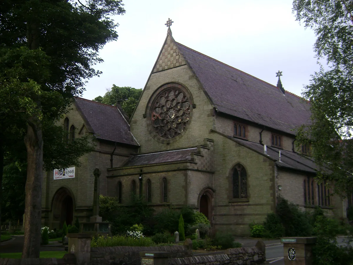
All Saints Church, Marple
All Saints Church, Marple — church in Marple, Greater Manchester, England, UK.
 📷 3
📷 3Historic churches · Yorkshire & the Humber
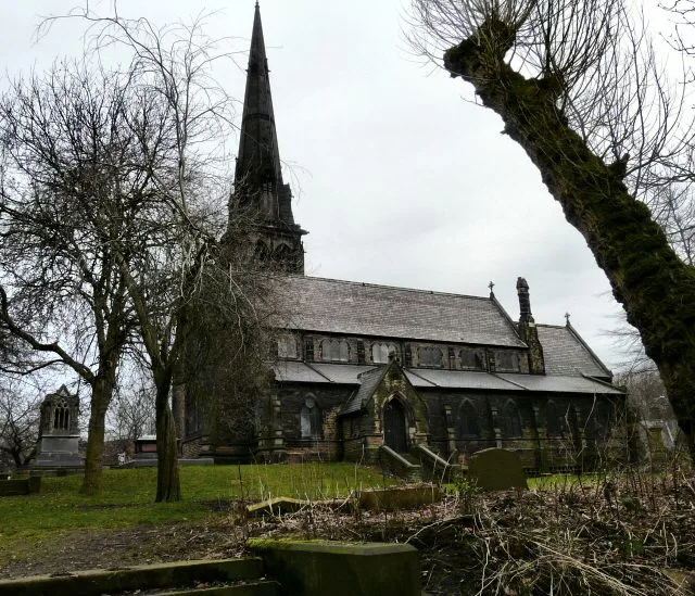
Brookfield Unitarian Church
Brookfield Unitarian Church — church in Manchester, UK.
 📷 5
📷 5Historic churches · Yorkshire & the Humber
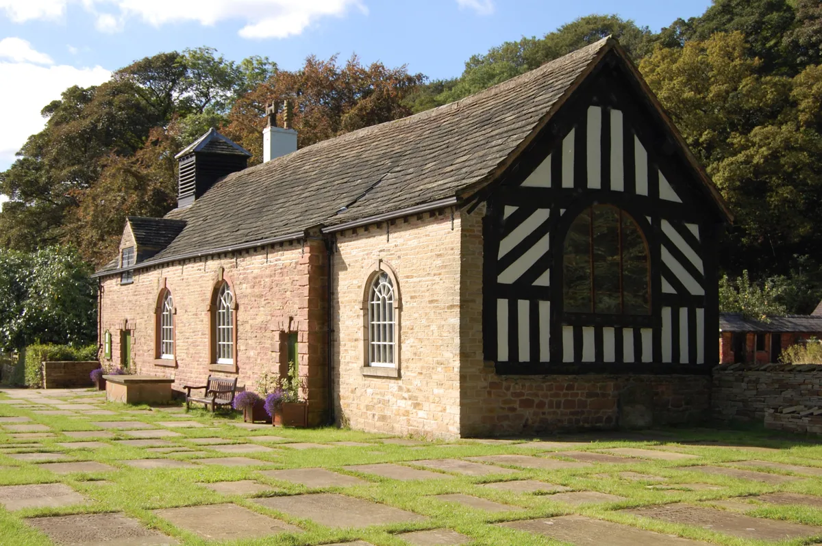
Chadkirk Chapel
Chadkirk Chapel — church and museum in Stockport, United Kingdom.
 📷 3
📷 3Historic churches · Yorkshire & the Humber
Christ Church, Heaton Norris
Christ Church, Heaton Norris — church in Stockport, UK.
Frequently asked questions
- Where is Mottram in Longdendale?
- Mottram in Longdendale is in the West Midlands, United Kingdom (postcode SK14 6JH), in the parish of Tameside, unparished area.
- What is Mottram in Longdendale?
- Mottram in Longdendale is a village in Tameside, Greater Manchester, England, 1 mile (1.6 km) west of Hadfield and 3 miles (4.8 km) east of Hyde. Within the historic county of Cheshire, it became part
- How do I get to Mottram in Longdendale?
- The nearest railway station is Broadbottom, about 1.8 km away. Drivers can use postcode SK14 6JH.
- Is Mottram in Longdendale free to visit?
- Yes, Mottram in Longdendale is free to enter.
- How do I get to Mottram in Longdendale?
- The nearest railway station is Broadbottom, about 1.8 km away. Drivers can navigate to postcode SK14 6JH.