
Archaeological sites · West Midlands
Mortimer Forest
In or near Onibury.
Mortimer Forest — forest in Shropshire and Herefordshire, England.

Wikimedia Commons contributors — see linked file page for photographer and licence licence

Plan your visit
- Typical visit
- 45 min–1.5 h
- Nearest railway station
- Ludlow · 3.2 km
- Free entry
- Dog-friendly
About
Mortimer Forest is an archaeological site in the United Kingdom. Managed by Forestry England. Wikidata describes it as: "forest in Shropshire and Herefordshire, England". Coordinates: 52.3600°, -2.7600°.
Photo gallery
Protected designations
- Site of Special Scientific Interest: Mortimer Forest SSSI
- Site of Special Scientific Interest: River Teme SSSI
- Area of Outstanding Natural Beauty: Shropshire Hills
Designations sourced from Natural England open data under OGL v3.
From the Wikipedia article
Mortimer Forest is a forest on the Shropshire/Herefordshire border in England, near the town of Ludlow. It covers hilly terrain, including the marilyn of High Vinnalls, rising to 375 metres (1,230 ft).
Excerpt from Wikipedia under CC BY-SA 4.0. See the source article linked in Sources below.
Background
History
Mortimer Forest was an ancient hunting forest, similar to areas including Bircher Common. According to Forestry England, it is a remnant of the ancient Saxon hunting forests of Mocktree, Deerfold and Bringewood. Remains of this 'ancient battleground' include a castle mound that was owned by powerful Marcher lords, who had considerable fortified bases at Wigmore and Ludlow. The name of the forest derives from the Mortimers, who were Marcher lords. Natural history includes very old limestones and shales laid down by the sea some 400 million years ago.
Visiting
Mortimer Forest is owned by Forestry England, which has done a number of things to facilitate tourists, including a website, signage, picnic tables, car parks, and laying out walking tracks for different fitness abilities. National Cycle Network route 44 passes through, en route between Ludlow and Leominster. Also passing through the area is the Mortimer Trail, a long-distance footpath.
Sourced from Wikipedia under CC BY-SA 4.0.
- Coordinates
- 52.3600, -2.7600
- District
- Shropshire
- Parish
- Bromfield
- Postcode
- SY8 2JG
- Parliamentary constituency
- South Shropshire
- Nearest railway station
- Ludlow — 3.2 km
Sources
- wikidata: Q6914722 (CC0)
- wikipedia: Mortimer Forest (CC BY-SA 4.0)
- commons: Forestry track in part of the Mortimer Forest near Ludlow - geograph.org.uk - 2120388.jpg (CC BY-SA 4.0)
Other places nearby

Mary Knoll
Mountains & hills · 0.3 km

Bringewood Hill
Mountains & hills · 1.5 km
Bringewood
Mountains & hills · 1.5 km
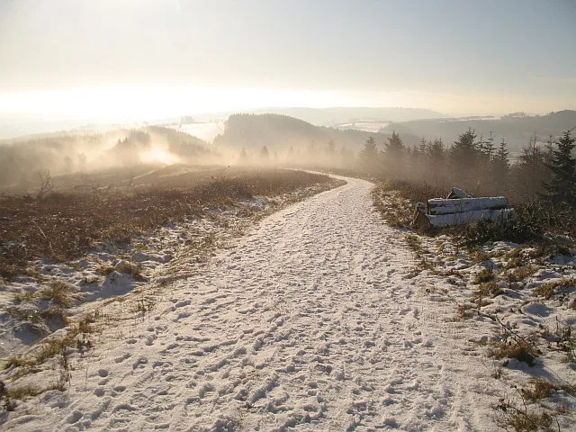
High Vinnalls
Mountains & hills · 1.5 km

Elan aqueduct
Gardens · 2.0 km

Dinham Bridge
Historic bridges · 2.4 km

Bridge 50 Metres To South East Of Stable Complex At Oakley Park
Historic bridges · 2.6 km

Dinham Lodge
Historic houses · 2.6 km

Great Kitchen
Historic houses · 2.6 km

Dinham House
Historic houses · 2.6 km

Oakley Park
Historic houses · 2.6 km
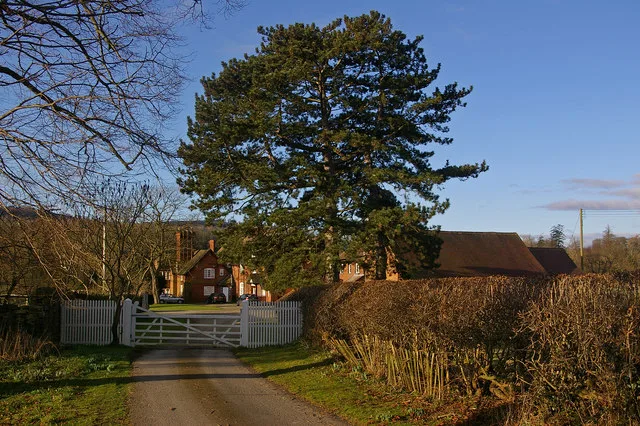
Burway Manor
Stately homes · 2.6 km
Nearby
📷 5📷 5Mountains & hills · West Midlands
Bringewood Hill
Bringewood Hill — mountain in wales mid. Elevation: 363 m.
📷 5📷 3📷 5📷 3Historic bridges · West Midlands
Dinham Bridge
Dinham Bridge — Grade II listed building-listed bridge in wales-mid, United Kingdom.
Where to eat & stay near Mortimer Forest
Places to stay
 📷 7
📷 7 📷 5
📷 5 📷 5
📷 5 📷 5
📷 5Caravan parks · West Midlands
Orleton Rise Holiday Home Park
Orleton Rise Holiday Home Park — a caravan park in wales mid.
 📷 5
📷 5Caravan parks · West Midlands
Fairfield Holiday Park
Fairfield Holiday Park — a caravan park in wales mid.
 📷 5
📷 5Caravan parks · West Midlands
Home Farm Accommodation
Home Farm Accommodation — a caravan park in wales mid.
Places to eat & drink
 📷 5
📷 5 📷 5
📷 5Historic pubs · West Midlands
Wheatsheaf Inn and Chandlers Cottage
Wheatsheaf Inn and Chandlers Cottage in England West Midlands, United Kingdom.
 📷 7
📷 7Historic pubs · West Midlands
Old Bull Ring Tavern
Old Bull Ring Tavern in England West Midlands, United Kingdom.
 📷 7
📷 7Historic pubs · West Midlands
Clive Arms Public House
Clive Arms Public House in England West Midlands, United Kingdom.
 📷 6
📷 6Historic pubs · West Midlands
Salwey Arms Public House Including Po Box
Salwey Arms Public House Including Po Box in England West Midlands, United Kingdom.
 📷 5
📷 5More archaeological sites in this region
 📷 3
📷 3Archaeological sites · West Midlands
Oakedge Hall
Oakedge Hall — a archaeological in england-east-midlands, United Kingdom.
.jpg?width=1200) 📷 3
📷 3Archaeological sites · West Midlands
Hales Roman Villa
Hales Roman Villa — archaeological site in Loggerheads, Newcastle-under-Lyme, England, UK.
 📷 3
📷 3Archaeological sites · West Midlands
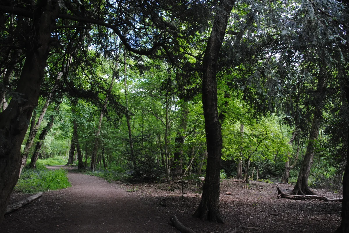
Heart of England Forest
Heart of England Forest — UK non-governmental organization.
 📷 3
📷 3Archaeological sites · West Midlands
Holly Wood
Holly Wood — woodland nature reserve in Sandwell, England.
Frequently asked questions
- Where is Mortimer Forest?
- Mortimer Forest is in Mid Wales, United Kingdom (postcode SY8 2JG), in the parish of Bromfield.
- What is Mortimer Forest?
- Mortimer Forest — forest in Shropshire and Herefordshire, England.
- How do I get to Mortimer Forest?
- The nearest railway station is Ludlow, about 3.2 km away. Drivers can use postcode SY8 2JG.
- Who runs Mortimer Forest?
- Mortimer Forest is operated by Forestry England.
- Is Mortimer Forest a protected site?
- Yes — Mortimer Forest is part of the Mortimer Forest SSSI Site of Special Scientific Interest and the River Teme SSSI Site of Special Scientific Interest.
- Is Mortimer Forest free to visit?
- Yes, Mortimer Forest is free to enter.
- How do I get to Mortimer Forest?
- The nearest railway station is Ludlow, about 3.2 km away. Drivers can navigate to postcode SY8 2JG.