
Historic bridges · West Midlands
Bridge 50 Metres To South East Of Stable Complex At Oakley Park
In or near Onibury.
Bridge 50 Metres To South East Of Stable Complex At Oakley Park — Grade II listed building-listed bridge in wales-mid, United Kingdom.

Mat Fascione — CC BY-SA 2.0 via Wikimedia Commons licence

Plan your visit
- Typical visit
- 15 min–30 min
- Nearest railway station
- Ludlow · 2.8 km
- Free entry
- Dog-friendly
Getting there & planning your visit
To visit the Bridge 50 Metres To South East Of Stable Complex At Oakley Park, the nearest railway station is Ludlow, located 2.8 km away. Entry is free. The postcode for sat-nav is SY8 2JW.
About
Bridge 50 Metres To South East Of Stable Complex At Oakley Park is a Grade II listed building-listed bridge in wales-mid, United Kingdom, registered on the National Heritage List for England (NHLE entry 1281978). Listed status protects buildings and structures of special architectural or historic interest. See the linked Wikipedia article for further details.
Photo gallery
Heritage listing
Details SO47NE; 825-1/4/13 BROMFIELD Bridge 50m to SE of Stable Complex at Oakly Park II Bridge. C18 and later. Stone rubble; brick arch with dressed stone faces. Single span; coped parapet. Listing NGR: SO4886576320 Legacy The contents of this record have been generated from a legacy data system. Legacy System number: 389653 Legacy System: LBS
From the Historic England List Entry under OGL v3.
Protected designations
- Site of Special Scientific Interest: River Teme SSSI
- Area of Outstanding Natural Beauty: Shropshire Hills
Designations sourced from Natural England open data under OGL v3.
Place summary
Bridge 50 Metres To South East Of Stable Complex At Oakley Park is a Grade II listed bridge located in Bromfield, Mid Wales. Its designation reflects its historical significance and architectural interest within the region.
AI-generated from the structured facts on this page (operator, designation, listing, era). Not a substitute for visiting.
- Coordinates
- 52.3825, -2.7527
- District
- Shropshire
- Parish
- Bromfield
- Postcode
- SY8 2JW
- Parliamentary constituency
- South Shropshire
- Nearest railway station
- Ludlow — 2.8 km
Sources
- wikidata: Q26570989 (CC0)
Other places nearby

Oakley Park
Historic houses · 0.2 km
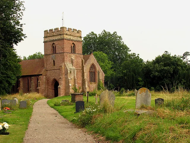
St Mary the Virgin's Church, Bromfield
Historic churches · 0.8 km

Bridge Over Teme, On Oakley Park Drive
Historic bridges · 0.8 km

Clive Arms Public House
Historic pubs · 0.9 km

Bromfield War Memorial
Memorials & monuments · 0.9 km
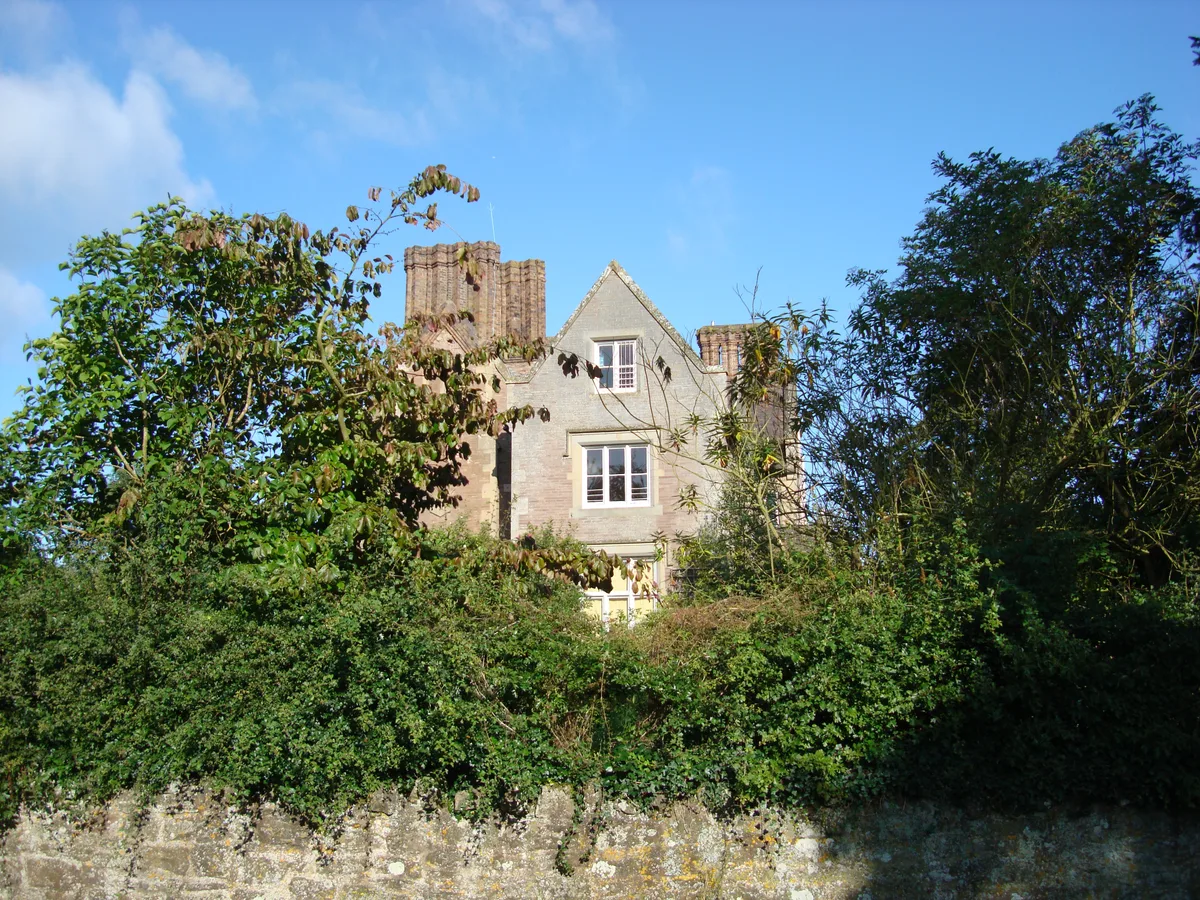
Bromfield Manor House
Stately homes · 1.0 km

Bromfield Castle
Literary houses · 1.1 km
Bromfield
Castles · 1.1 km

Roman Camp (site of)
Archaeological sites · 1.2 km
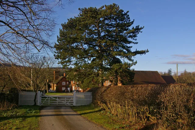
Burway Manor
Stately homes · 1.4 km

Site of Medieval Chapel
Archaeological sites · 1.6 km

Corve Bridge
Historic bridges · 2.4 km
Nearby
📷 3Historic houses · West Midlands
Oakley Park
Oakley Park — Grade II* listed house in Bromfield, Shropshire, England, UK.
📷 3Historic churches · West Midlands
St Mary the Virgin's Church, Bromfield
St Mary the Virgin's Church, Bromfield — Grade I listed church in Bromfield, Shropshire, England, UK.
📷 3Historic bridges · West Midlands
Bridge Over Teme, On Oakley Park Drive
Bridge Over Teme, On Oakley Park Drive — Grade II listed building-listed bridge in wales-mid, United Kingdom.
📷 7Historic pubs · West Midlands
Clive Arms Public House
Clive Arms Public House in England West Midlands, United Kingdom.
📷 3Memorials & monuments · West Midlands
Bromfield War Memorial
Bromfield War Memorial — Grade II listed building-listed memorial in wales-mid, United Kingdom.
Flagship📷 3Stately homes · West Midlands
Bromfield Manor House
Bromfield Manor House — Grade II listed house in Bromfield, Shropshire, England, UK.
Where to eat & stay near Bridge 50 Metres To South East Of Stable Complex At Oakley Park
Places to stay
 📷 5
📷 5 📷 7
📷 7 📷 5
📷 5 📷 5
📷 5Campsites · West Midlands
Greenway Touring Park for Adults
Greenway Touring Park for Adults — a campsite in wales mid.
 📷 5
📷 5Campsites · West Midlands
Elsich Barn Campsite
Elsich Barn Campsite — a campsite in wales mid.
 📷 5
📷 5Caravan parks · West Midlands
Orleton Rise Holiday Home Park
Orleton Rise Holiday Home Park — a caravan park in wales mid.
Places to eat & drink
📷 7Historic pubs · West Midlands
Clive Arms Public House
Clive Arms Public House in England West Midlands, United Kingdom.
 📷 5
📷 5 📷 7
📷 7Historic pubs · West Midlands
Old Bull Ring Tavern
Old Bull Ring Tavern in England West Midlands, United Kingdom.
 📷 5
📷 5Historic pubs · West Midlands
Wheatsheaf Inn and Chandlers Cottage
Wheatsheaf Inn and Chandlers Cottage in England West Midlands, United Kingdom.
 📷 5
📷 5 📷 6
📷 6Historic pubs · West Midlands
Salwey Arms Public House Including Po Box
Salwey Arms Public House Including Po Box in England West Midlands, United Kingdom.
More bridges in this region
 📷 3
📷 3Historic bridges · West Midlands
Wolseley Bridge
Wolseley Bridge is a historic bridge in the United Kingdom.
 📷 3
📷 3Historic bridges · West Midlands
Bridge, Gatepiers, Walls And Ha Ha South Of Blithfield Hall
Bridge, Gatepiers, Walls And Ha Ha South Of Blithfield Hall — Grade II listed building-listed bridge in england-east-midlands, United Kingdom.
 📷 3
📷 3Historic bridges · West Midlands
Bridge Over River Swarbourn At West End Of Town Hill
Bridge Over River Swarbourn At West End Of Town Hill — Grade II listed building-listed bridge in england-east-midlands, United Kingdom.
 📷 3
📷 3Historic bridges · West Midlands
Viaduct over Trent and Mersey Canal at SK 0485 1780
Viaduct over Trent and Mersey Canal at SK 0485 1780 — Grade II listed building-listed bridge in england-east-midlands, United Kingdom.
Frequently asked questions
- Where is Bridge 50 Metres To South East Of Stable Complex At Oakley Park?
- Bridge 50 Metres To South East Of Stable Complex At Oakley Park is in Mid Wales, United Kingdom (postcode SY8 2JW), in the parish of Bromfield.
- What is Bridge 50 Metres To South East Of Stable Complex At Oakley Park?
- Bridge 50 Metres To South East Of Stable Complex At Oakley Park — Grade II listed building-listed bridge in wales-mid, United Kingdom.
- How do I get to Bridge 50 Metres To South East Of Stable Complex At Oakley Park?
- The nearest railway station is Ludlow, about 2.8 km away. Drivers can use postcode SY8 2JW.
- Is Bridge 50 Metres To South East Of Stable Complex At Oakley Park a listed building?
- Bridge 50 Metres To South East Of Stable Complex At Oakley Park is officially recognised as Grade II listed building listed.
- Is Bridge 50 Metres To South East Of Stable Complex At Oakley Park a protected site?
- Yes — Bridge 50 Metres To South East Of Stable Complex At Oakley Park is part of the River Teme SSSI Site of Special Scientific Interest and the Shropshire Hills National Landscape (AONB).
- Is Bridge 50 Metres To South East Of Stable Complex At Oakley Park free to visit?
- Yes, Bridge 50 Metres To South East Of Stable Complex At Oakley Park is free to enter.
- How do I get to Bridge 50 Metres To South East Of Stable Complex At Oakley Park?
- The nearest railway station is Ludlow, about 2.8 km away. Drivers can navigate to postcode SY8 2JW.