
Gardens · West Midlands
Elan aqueduct
Also known as: Traphont a phibell ddŵr Elan - Birmingham
In or near Onibury.
Elan aqueduct — a garden in wales-mid, United Kingdom.

Ian Capper — CC BY-SA 2.0 via Wikimedia Commons licence

Plan your visit
- Typical visit
- 1 h–2.5 h
- Best time of year
- Spring & summer (Apr–Sep)
- Nearest railway station
- Ludlow · 5.1 km
- Dog-friendly
Getting there & planning your visit
To visit Elan Aqueduct, the nearest railway station is Ludlow, which is 5.1 km away. The postcode for sat-nav is SY8 2JQ. Entry details are not provided, so please check in advance for any fees and accessibility options.
About
Elan aqueduct is a garden of interest in wales-mid, United Kingdom — drawn from open-data sources for visitor reference. See the linked Wikipedia article for the full description.
Photo gallery
Protected designations
- Site of Special Scientific Interest: Mortimer Forest SSSI
- Site of Special Scientific Interest: River Teme SSSI
- Area of Outstanding Natural Beauty: Shropshire Hills
Designations sourced from Natural England open data under OGL v3.
From the Wikipedia article
The Elan aqueduct crosses Wales and the Midlands of England, running eastwards from the Elan Valley Reservoirs in Mid Wales to Birmingham's Frankley Reservoir, carrying drinking water for Birmingham. It delivers enormous quantities of water across the mid-Wales countryside, through north Herefordshire, south Shropshire and into the West Midlands through eleven major river valleys. The aqueduct is 73 miles (117 km) long, down which the water travels at less than two miles per hour (3 km/h), taking one and a half days to get to Birmingham.
Excerpt from Wikipedia under CC BY-SA 4.0. See the source article linked in Sources below.
Background
Architecture
Work on the first 13 mi of the route from the Elan Valley was started in June 1896 by Birmingham Corporation Water Department. The aqueduct was built in sections by outside contractors, using three types of construction depending on the nature of the terrain it had to cross. "Cut and cover" was essentially a brick lined channel which was manually dug as a trench, then roofed over and concealed underground. Where the route of the aqueduct encountered high ground above the gradient needed to maintain the downward slope, a certain amount of tunnelling was required; at one point the tunnel is 100 metres below ground, ensuring the aqueduct was at only 220 metres above sea level. This totalled…
Description
The aqueduct and its related features are visible at: Some crossings over canals and railways have been replaced by buried pipes. The line of the buried aqueduct through woodland is marked by a 20 m "exclusion zone" from which trees are removed.
Sourced from Wikipedia under CC BY-SA 4.0.
- Coordinates
- 52.3607, -2.7897
- District
- Herefordshire, County of
- Parish
- Burrington
- Postcode
- SY8 2JQ
- Parliamentary constituency
- North Herefordshire
- Nearest railway station
- Ludlow — 5.1 km
Sources
- wikidata: Q5353397 (CC0)
- wikipedia: Elan aqueduct (CC BY-SA 4.0)
Other places nearby

Bringewood
Mountains & hills · 0.7 km
Bringewood Hill
Mountains & hills · 0.7 km

Bringewood Ironworks
Ironworks & forges · 1.4 km

Downton Castle
Castles · 2.0 km
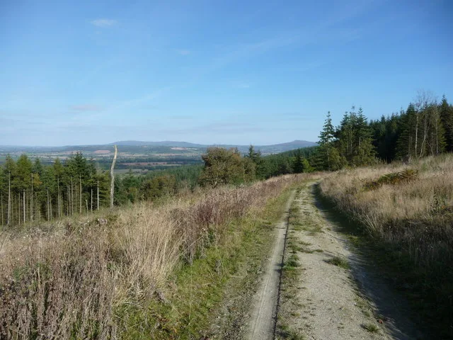
Mortimer Forest
Archaeological sites · 2.0 km

Aston Tump
Historic houses · 2.0 km

Aston Tump 1
Castles · 2.0 km

Aston Tump
Literary houses · 2.0 km
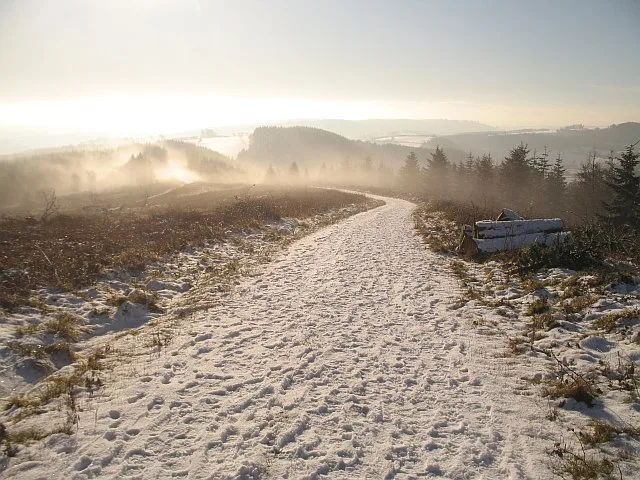
High Vinnalls
Mountains & hills · 2.1 km

Bridge approximately 300 metres north of Downton Castle
Historic bridges · 2.1 km

Mary Knoll
Mountains & hills · 2.3 km

Cast Iron Grave Slabs
Memorials & monuments · 2.8 km
Nearby
📷 5📷 5Mountains & hills · West Midlands
Bringewood Hill
Bringewood Hill — mountain in wales mid. Elevation: 363 m.
📷 4Ironworks & forges · West Midlands
Bringewood Ironworks
Bringewood Ironworks in Wales Mid, United Kingdom.
📷 4📷 3Archaeological sites · West Midlands
Mortimer Forest
Mortimer Forest — forest in Shropshire and Herefordshire, England.
📷 3Historic houses · West Midlands
Aston Tump
Aston Tump — a historic house in wales-mid, United Kingdom.
Where to eat & stay near Elan aqueduct
Places to stay
 📷 7
📷 7Hotels · West Midlands
The Feathers Hotel
The Feathers Hotel — a hotel in wales mid.
 📷 5
📷 5 📷 5
📷 5 📷 5
📷 5Caravan parks · West Midlands
Orleton Rise Holiday Home Park
Orleton Rise Holiday Home Park — a caravan park in wales mid.
 📷 5
📷 5Caravan parks · West Midlands
Fairfield Holiday Park
Fairfield Holiday Park — a caravan park in wales mid.
 📷 5
📷 5Caravan parks · West Midlands
Home Farm Accommodation
Home Farm Accommodation — a caravan park in wales mid.
Places to eat & drink
 📷 7
📷 7Historic pubs · West Midlands
Clive Arms Public House
Clive Arms Public House in England West Midlands, United Kingdom.
 📷 5
📷 5 📷 5
📷 5Historic pubs · West Midlands
Wheatsheaf Inn and Chandlers Cottage
Wheatsheaf Inn and Chandlers Cottage in England West Midlands, United Kingdom.
 📷 7
📷 7Historic pubs · West Midlands
Old Bull Ring Tavern
Old Bull Ring Tavern in England West Midlands, United Kingdom.
 📷 5
📷 5 📷 5
📷 5More gardens in this region
 📷 5
📷 5Gardens · West Midlands
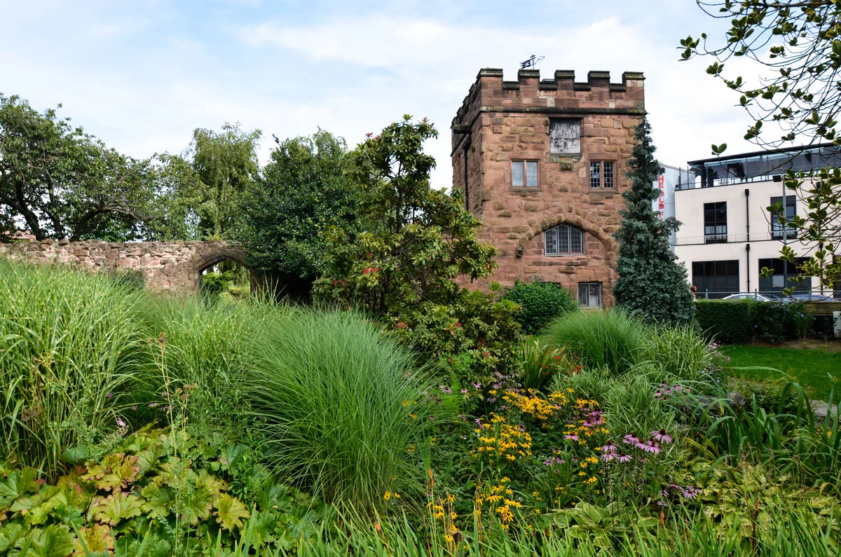
Lady Herbert's Garden
Lady Herbert's Garden — garden in Coventry, West Midlands, England, UK.
 📷 3
📷 3Gardens · West Midlands
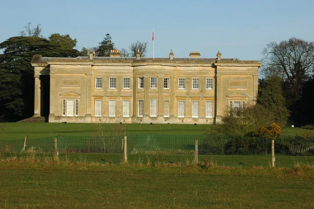
Spetchley Park
Spetchley Park — house and park in Worcestershire, England, UK.
.jpg?width=1200) 📷 5
📷 5Gardens · West Midlands
Abstract children’s play sculpture
Abstract children’s play sculpture — Public artwork (sculpture) by John Bridgman.
.jpg?width=1200) 📷 5
📷 5Gardens · West Midlands
Arley House and Gardens
Arley House and Gardens — gardens in Worcestershire, England, UK.
Frequently asked questions
- Where is Elan aqueduct?
- Elan aqueduct is in the West Midlands, United Kingdom (postcode SY8 2JQ), in the parish of Burrington.
- What is Elan aqueduct?
- Elan aqueduct — a garden in wales-mid, United Kingdom.
- How do I get to Elan aqueduct?
- The nearest railway station is Ludlow, about 5.1 km away. The nearest town is Onibury. Drivers can use postcode SY8 2JQ.
- Is Elan aqueduct a protected site?
- Yes — Elan aqueduct is part of the Mortimer Forest SSSI Site of Special Scientific Interest and the River Teme SSSI Site of Special Scientific Interest.
- How do I get to Elan aqueduct?
- The nearest railway station is Ludlow, about 5.1 km away. Drivers can navigate to postcode SY8 2JQ.